The best road cycling routes around Crognaleto
4.6
(76)
2,738
riders
58
rides
Road cycling routes around Crognaleto are set within the Gran Sasso and Monti della Laga National Park, offering diverse and challenging terrain. The region is characterized by layered foothills, forested valleys, and winding tarmac roads that ascend to significant elevations. Cyclists can experience a "mini Tibet" landscape, with access to the Gran Sasso mountains and the vast Campo Imperatore plateau.
Best road cycling routes around Crognaleto
- The most popular road cycling route is Prati di Tivo Loop from Fano Adriano…
Last updated: May 27, 2026
4.5
(2)
35
riders
49.6km
03:17
1,550m
1,550m
Ascend Cima Alta da Senarica on a difficult 30.8-mile road cycling route in Gran Sasso e Monti della Laga, gaining 5074 feet.
13
riders
50.7km
02:48
1,020m
1,020m
Hard road ride. Very good fitness required. Some segments of this route may be unpaved and difficult to ride.

Sign up for free
9
riders
51.6km
03:27
1,660m
1,660m
Hard road ride. Very good fitness required. Some segments of this route may be unpaved and difficult to ride.
1
riders
44.0km
02:38
1,160m
1,160m
Hard road ride. Very good fitness required. Mostly well-paved surfaces and easy to ride.
4.8
(8)
136
riders
57.8km
02:42
730m
730m
Moderate road ride. Good fitness required. Mostly well-paved surfaces and easy to ride.
Get access to more routes and recommendations from other explorers.
Sign up for free
Already have an account?
Our route recommendations are based on thousands of hikes, rides, and runs completed by other people on komoot.
Start today with a free account
Your next adventure awaits.
Login or Signup
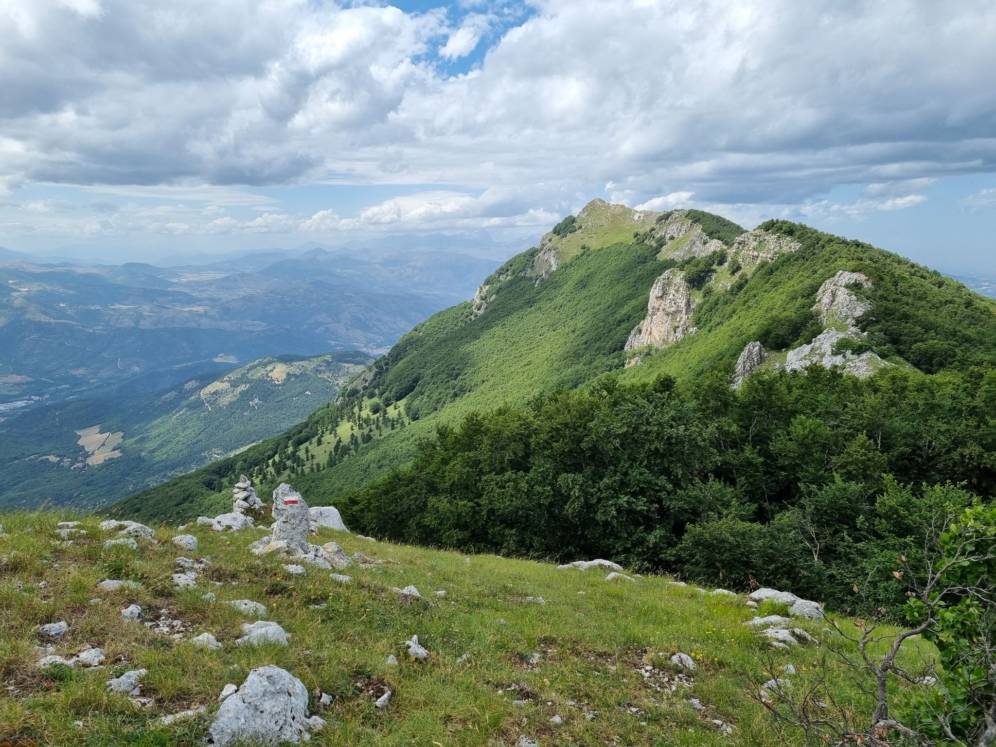
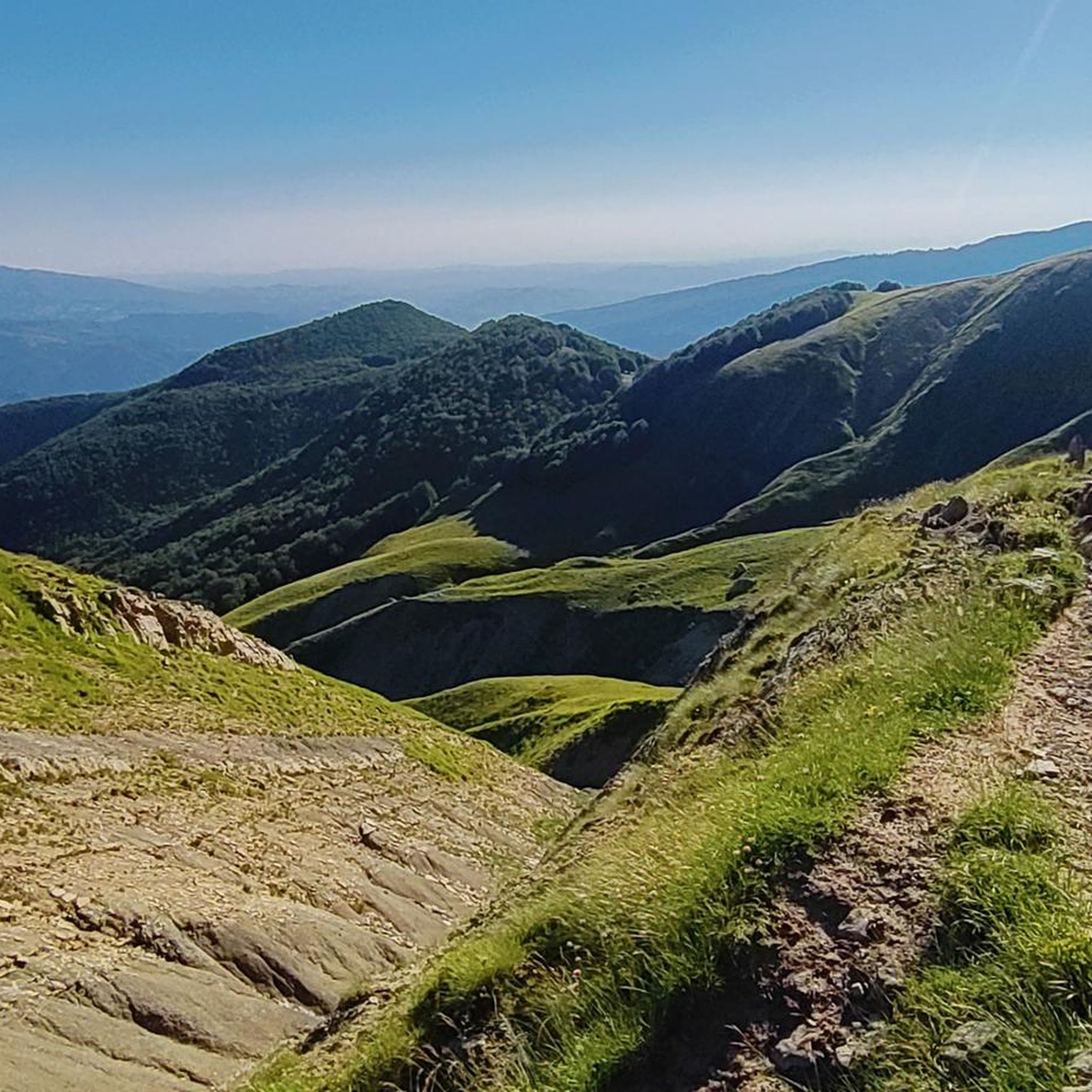
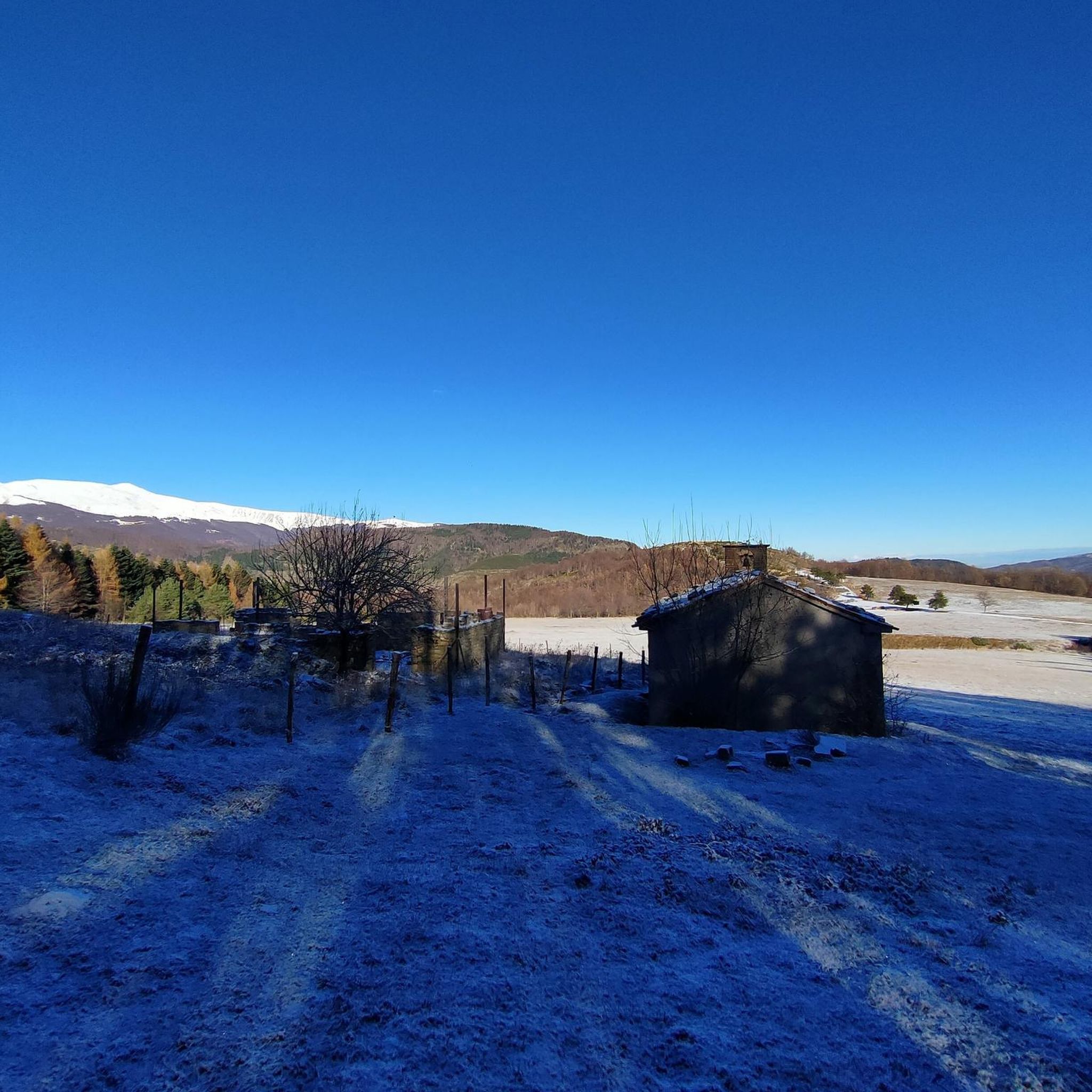
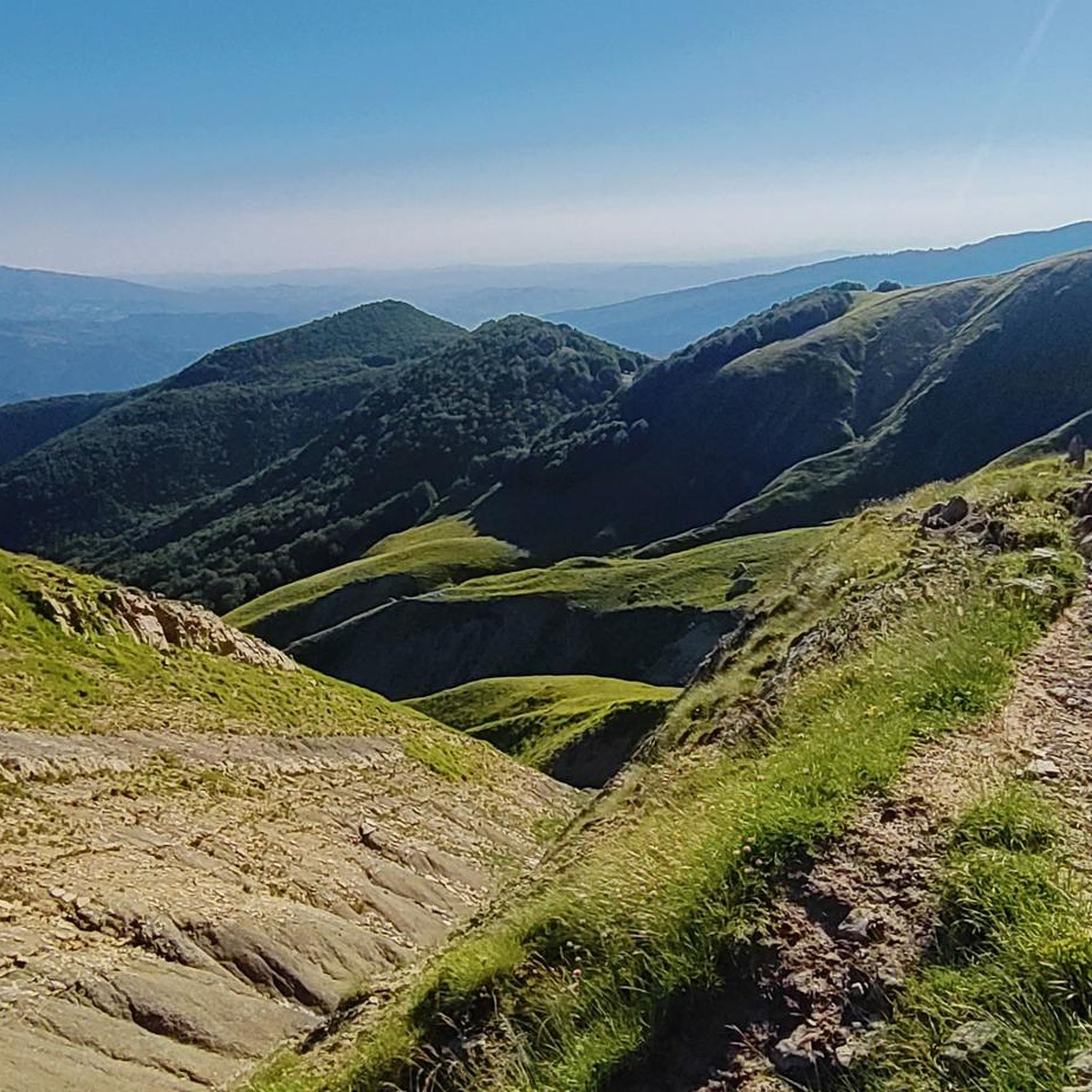
Other adventures around Crognaleto

Tips from the Community


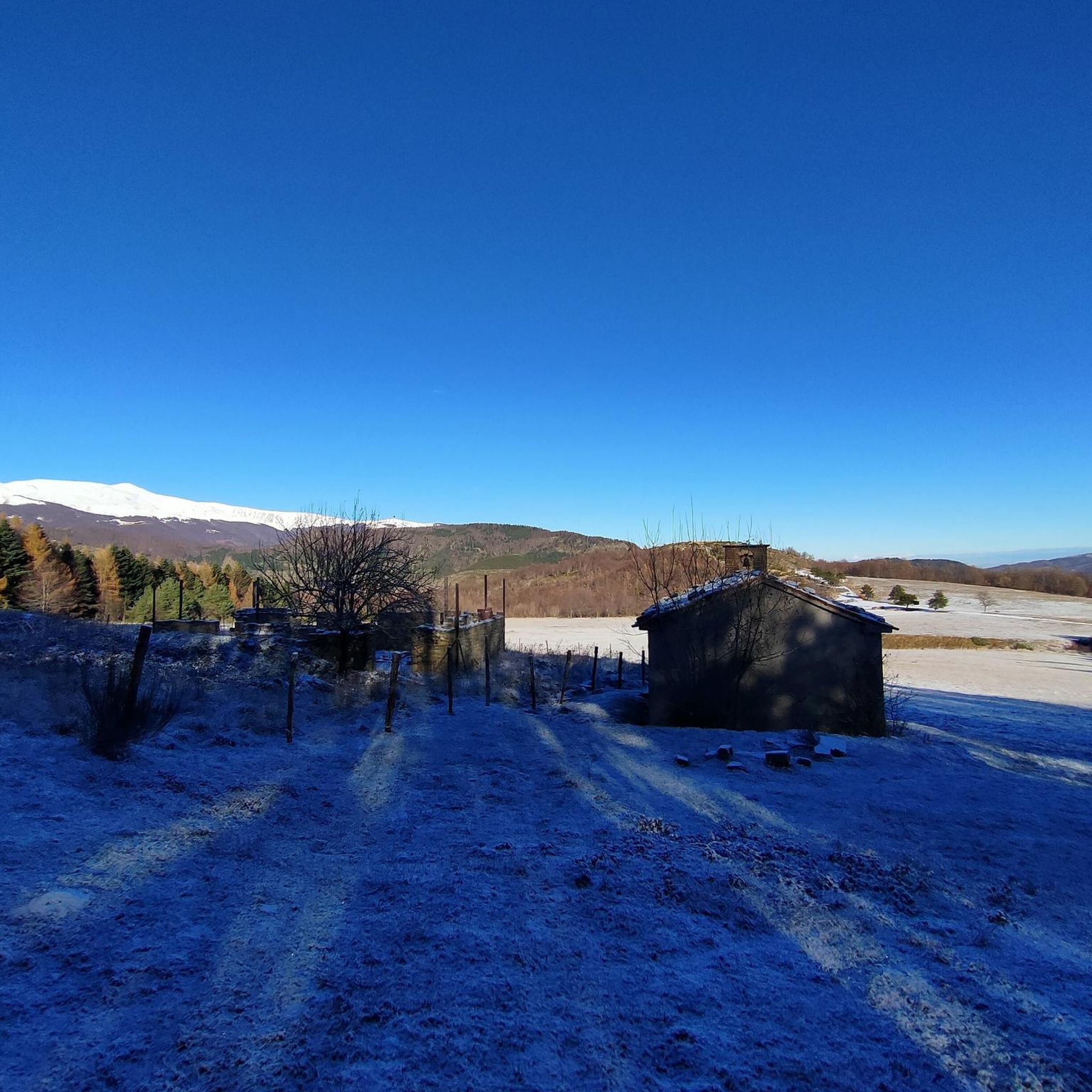
This is one of the nicest picnic areas in the area. In addition to the picturesque church, there are two sources of very fresh water: one right next to the church, the other between the picnic tables in the pine forest. It's a perfect place to spend a night in a tent.
2
0

Just outside Fano Adriano we find a lovely stone fountain, also known as Fonte della Cannalecchia. Built in the year 1335, it is possible to use it to fill water bottles.
0
0
Nice circular tour on the summit which ends in Prati di Tivo, where it is also possible to find water to fill the water bottles.
0
0
Frequently Asked Questions
How many road cycling routes are available around Crognaleto?
There are over 50 road cycling routes around Crognaleto, catering to various skill levels. This includes 6 easy routes, 16 moderate routes, and 31 difficult routes, all set within the stunning Gran Sasso and Monti della Laga National Park.
What kind of terrain can I expect on road cycling routes in Crognaleto?
Road cycling in Crognaleto offers incredibly diverse terrain. You'll find winding tarmac roads through layered foothills and forested valleys, characteristic of the Gran Sasso mountains. The region provides a 'mini Tibet' experience with significant elevation gains, exhilarating climbs, and descents amidst pristine chestnut, pine, and beech woods.
Are there challenging road cycling routes with significant elevation gain in Crognaleto?
Yes, Crognaleto is an excellent destination for challenging road cycling. Many routes feature substantial climbs and descents, with 31 of the available routes classified as difficult. For example, the Ascent to Prati di Tivo from Prato Selva involves over 1600 meters of elevation gain.
Are there any easy or beginner-friendly road cycling routes in Crognaleto?
While Crognaleto is known for its challenging mountain climbs, there are also 6 easy road cycling routes available. These provide a gentler introduction to the region's beautiful landscapes, allowing beginners to enjoy the scenery without extreme difficulty.
What natural features and landmarks can I see along the road cycling routes?
The routes often pass through forested valleys, alongside streams, and offer panoramic views of the Gran Sasso mountains. You can also discover ancient villages and archaeological sites. Notable natural features include the vast Campo Imperatore plateau, often called 'Little Tibet', and the crystal-clear waters of the River Tirino.
Are there any notable lakes or huts accessible from the cycling routes?
Yes, several routes offer access to beautiful lakes and mountain huts. You might encounter Lake Campotosto or Lake Provvidenza. For mountain huts, some routes could lead you near the Duca degli Abruzzi Hut or Garibaldi Hut, offering potential rest stops or viewpoints.
What do other road cyclists enjoy the most about road cycling in Crognaleto?
The area is highly rated by the komoot community, with an average score of 4.5 stars from over 80 reviews. Cyclists frequently praise the diverse and challenging terrain, the breathtaking mountain scenery, and the quiet tarmac roads that allow for an immersive experience within the national park.
Is Crognaleto a good base for exploring the Gran Sasso mountains by road bike?
Absolutely. Crognaleto is situated at 1105 meters above sea level along the Strada Statale 80 delle Capannelle, making it an ideal starting point for exploring the Gran Sasso mountain range. Its central location provides excellent access to routes leading to the vast Campo Imperatore plateau and other major peaks.
Are there any circular road cycling routes available?
Yes, there are several circular routes. A popular option is the Tour of Lake Campotosto and the Devil's Pass – Ring Tour, which offers scenic views and a challenging pass. Another is the Periplo del Colle Pizzuto – loop from Senarica, providing a substantial loop through the region.
What is the best time of year for road cycling in Crognaleto?
The region's mountainous nature suggests that late spring, summer, and early autumn are generally the best times for road cycling. During these periods, the weather is typically more stable, and mountain passes are clear of snow, allowing access to the full range of routes and higher elevations.
Are there any very long-distance road cycling routes for experienced riders?
For experienced riders seeking a significant challenge, the Maccione Pass – Campo Imperatore Summit loop from Senarica is an excellent choice. This route covers approximately 152 kilometers (94 miles) and involves over 3300 meters of elevation gain, making it a demanding full-day adventure.
Is public transport or parking available for cyclists in Crognaleto?
Crognaleto is well-positioned along the Strada Statale 80, making it accessible by car. While specific public transport options for cyclists might be limited, parking is generally available in and around the villages, serving as convenient starting points for your rides.
Most popular attractions around Crognaleto

Get inspired with the komoot mobile app


Explore more
Browse the best Road cycling routes in other regions.
