The best walks and hikes around Fano Adriano
4.4
(1588)
10,094
hikers
191
hikes
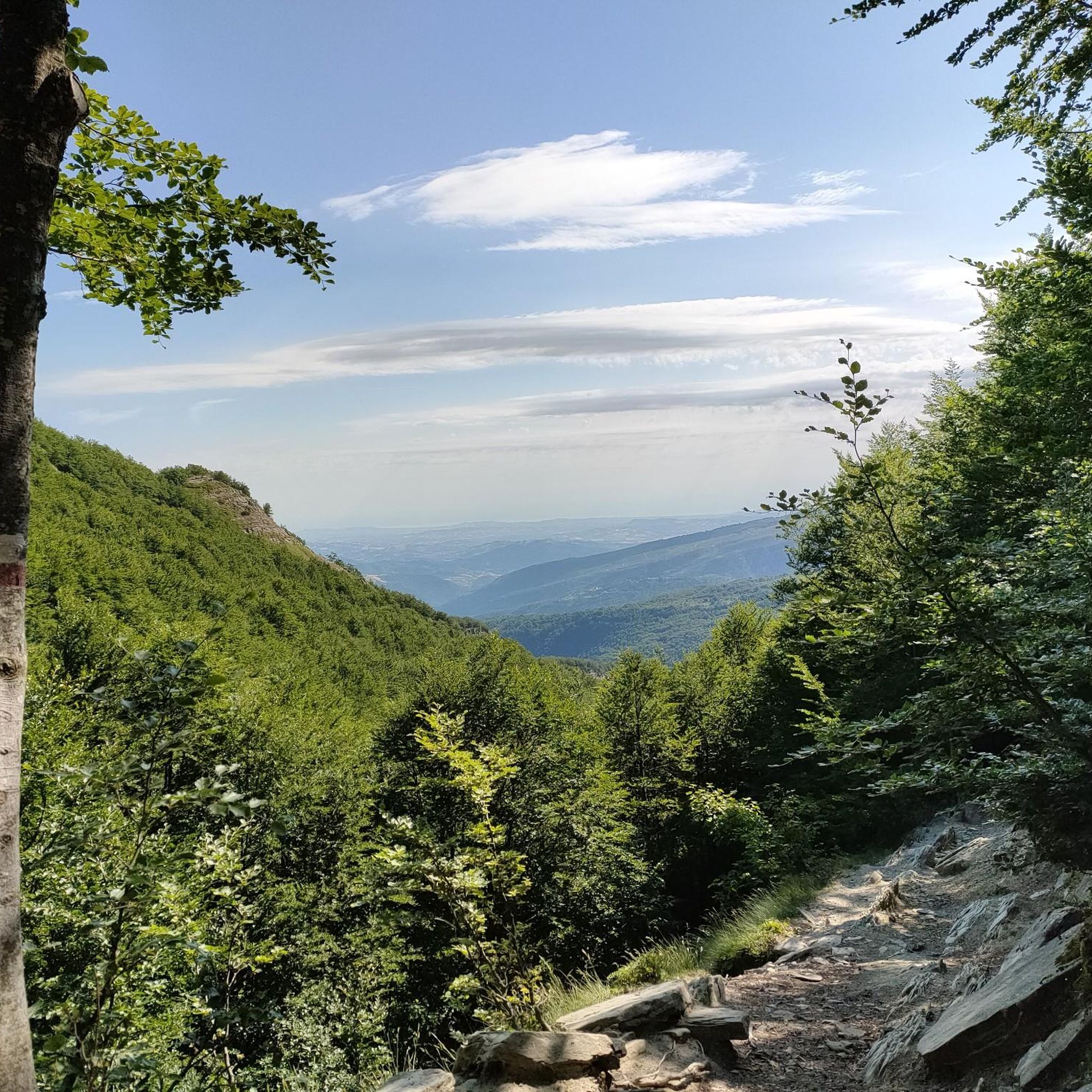
Hiking around Fano Adriano offers access to the dramatic peaks and diverse landscapes of the Gran Sasso and Monti della Laga National Park in Italy's Abruzzo region. The terrain features high Apennine mountains, including prominent peaks like Corno Grande and Pizzo Intermesoli, alongside dense forests such as the "Selva." Hikers can explore unique rock formations like the Merletti and the reddish Vene Rosse, with routes often following river valleys or leading to vast plateaus like Campo Imperatore.
Best hiking trails around Fano Adriano
- The most popular hiking route is Vallone delle Cornacchie Trail, a 5.7 miles (9.1 km) trail that takes 4 hours 34 minutes to complete. This difficult route offers alpine views and significant elevation gain.
- Another top favourite among local hikers is From Prato Selva to Rifugio del Monte, a moderate 5.4 miles (8.6 km) path. This trail ascends through mountain scenery towards a high-altitude refuge.
- Local hikers also love the From Piano Vomano to Colle del Vento – Gran Sasso e Monti della Laga National Park, a 4.8 miles (7.8 km) trail leading through the national park, often completed in about 2 hours 25 minutes.
- Hiking around Fano Adriano is defined by dramatic mountain peaks, dense forests, and unique rock formations. The network offers options for various ability levels, from moderate paths to challenging alpine climbs.
- The routes in Fano Adriano are highly rated by the komoot community with an average score of 4.5 stars from over 2,500 reviews. More than 15,000 hikers have used komoot to explore Fano Adriano's varied terrain.
Last updated: May 27, 2026
4.7
(42)
336
hikers
9.12km
04:35
780m
780m
Embark on the Vallone delle Cornacchie Trail, a difficult hike that immerses you in the dramatic alpine landscape of Gran Sasso. This challenging route spans 5.7 miles (9.1 km) and involves a substantial 2565 feet (782 metres) of elevation gain, typically requiring about 4 hours and 34 minutes to complete. You will navigate rocky terrain, winding between boulders and under a natural arch, with the highlight being the delicate Passo delle Scalette, made safer by a fixed steel cable.
Given the trail's difficult rating, you should come prepared with good fitness, sure-footedness, sturdy shoes, and prior alpine experience. The Rifugio Franchetti, a key mountain hut, offers a welcome stop for refreshment and shelter along the way. It is strongly advised to avoid this trail in foggy conditions, as visibility can quickly diminish, making navigation difficult and potentially disorienting.
The Vallone delle Cornacchie is a prominent glacial valley, uniquely nestled between the peaks of Corno Piccolo and Corno Grande, offering a true high-mountain experience. As you ascend, keep an eye out for distant views of the Adriatic Sea, a striking contrast to the rugged peaks surrounding you. This trail is renowned for leading to Rifugio Franchetti, the highest mountain hut in the Gran Sasso range, making it a notable destination for experienced hikers in the region.
4.4
(5)
32
hikers
8.65km
03:11
560m
560m
Moderate hike. Good fitness required. Easily-accessible paths. Suitable for all skill levels.

Sign up for free
4.3
(4)
9
hikers
Moderate hike. Good fitness required. Mostly accessible paths. Sure-footedness required.
4.7
(6)
42
hikers
18.2km
09:14
1,580m
1,580m
Hard hike. Very good fitness required. Sure-footedness, sturdy shoes and alpine experience required.
4.8
(12)
54
hikers
10.4km
03:28
510m
500m
Moderate hike. Good fitness required. Mostly accessible paths. Sure-footedness required.
Get access to more routes and recommendations from other explorers.
Sign up for free
Already have an account?
Our route recommendations are based on thousands of hikes, rides, and runs completed by other people on komoot.
Start today with a free account
Your next adventure awaits.
Login or Signup
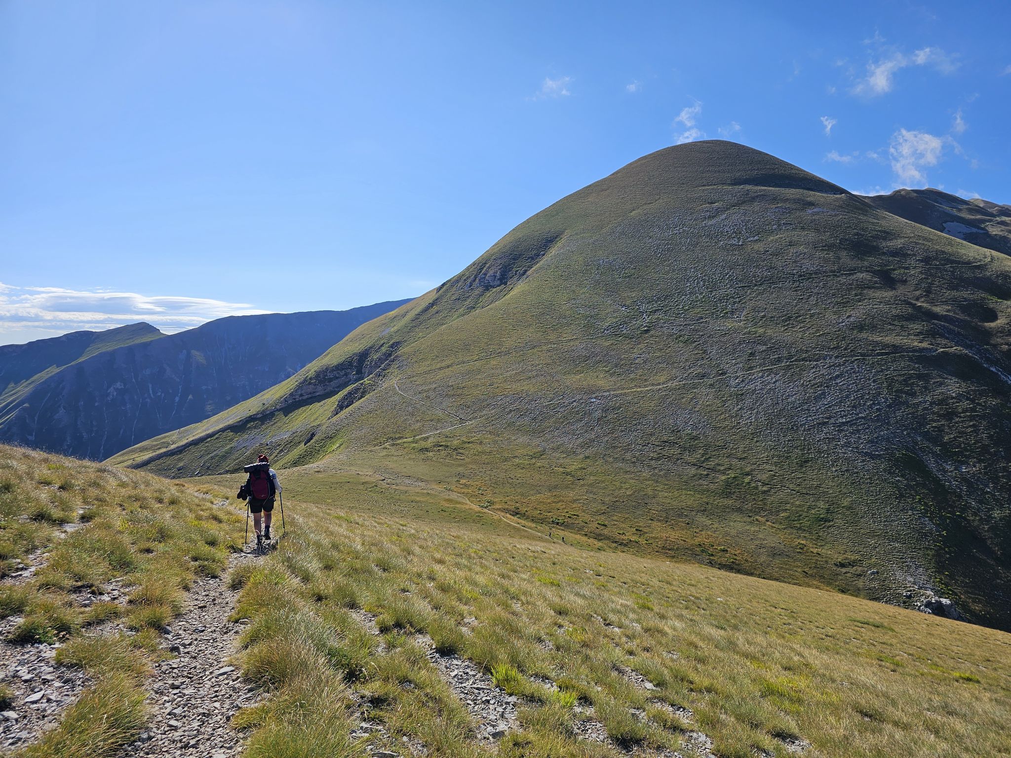
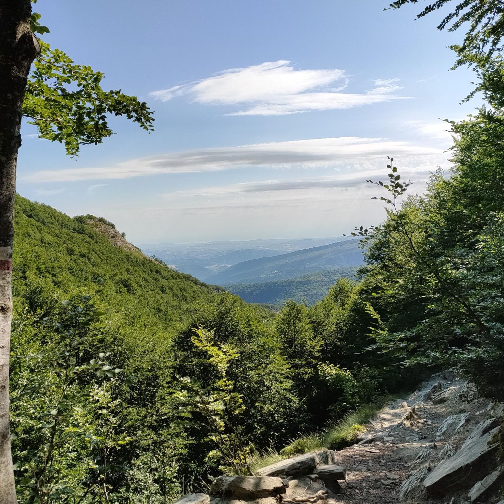
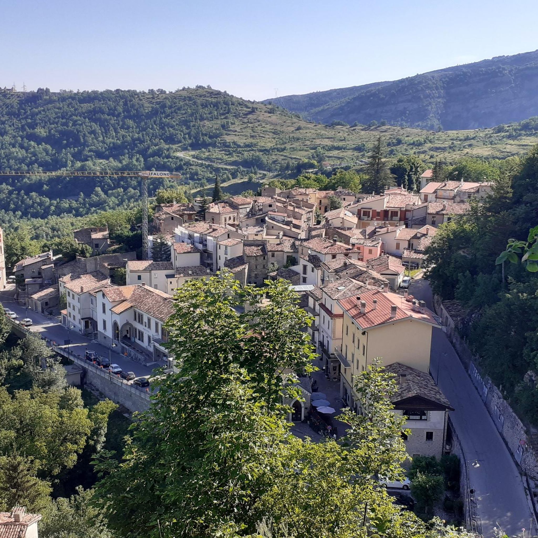
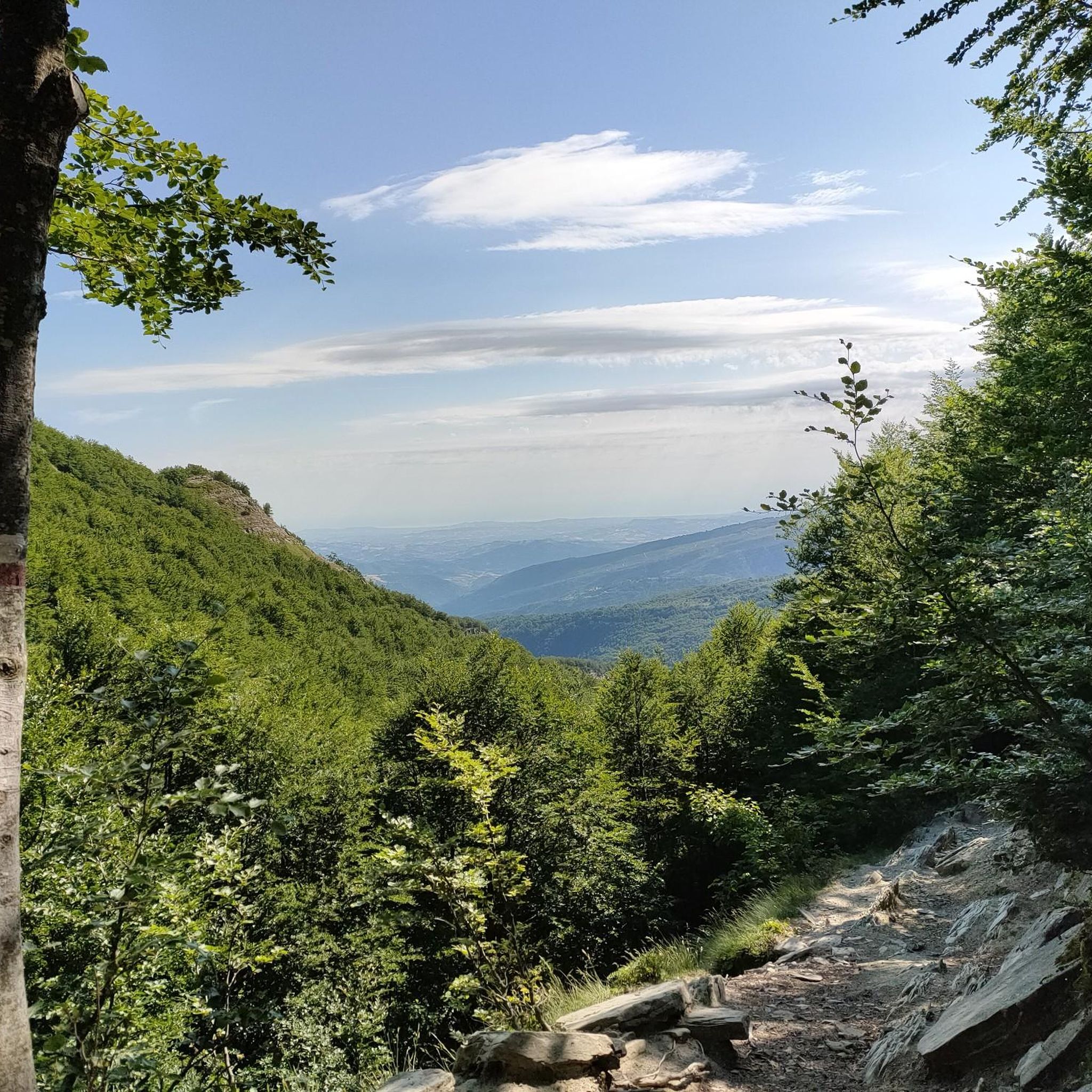
Other adventures around Fano Adriano

Tips from the Community

A summer and winter tourist resort in the province of Teramo. Located above the village of Pietracamela. From the Prati di Tivo square, at an altitude of 1,450 meters, a four-seater chairlift and a two-seater chairlift ascend to Arapietra, 2,000 meters above sea level.
0
0

From Pietracamela to the Northern Peak of Intermesoli, a challenging hike for experts
0
0
From Pietracamela a tough exit for experts, a wonderful peak to do absolutely easy, encounters with chamois
0
0

very beautiful route, touristic and suitable for families
0
0

We tried to walk around Corno Piccolo, but that is not possible without gear. Halfway we had te go back and then walked up to the Refugio. Very nice view and very nice walk.
0
0

The Madonnina is the point of reference for those who frequent the Gran Sasso. The cable car that goes up from Prati di Tivo arrives here. It is the starting point of the path that leads to the Franchetti refuge and the various summit paths. The path that goes up to the Madonnina from Prati di Tivo is however a beautiful excursion suitable for anyone.
2
1

Prati di Tivo is a ski resort that attracts tourists all year round thanks to the privileged access to the most beautiful walks in the province of Teramo. From the village, surrounded by forests, you can in fact admire the highest peaks of the continental Apennines (Corno Grande first of all).
0
0
The ascent to Pizzo d'Intermesoli is short and very demanding. It alternates short and simple passages on rocks with slippery stretches on gravel. Not recommended for those suffering from vertigo or unfamiliar with these terrains. Going down is perhaps even more challenging than going up. But the view from the top is impressive and worth all the effort. With its 2,635 meters it is the third peak of the Gran Sasso massif.
3
0
Frequently Asked Questions
How many hiking trails are available around Fano Adriano?
Fano Adriano offers a wide variety of hiking opportunities, with over 180 trails recorded on komoot. These routes cater to different skill levels, from moderate paths to challenging alpine climbs within the Gran Sasso and Monti della Laga National Park.
What kind of terrain can I expect on hikes near Fano Adriano?
The terrain around Fano Adriano is incredibly diverse, featuring dramatic high Apennine mountains like Corno Grande and Pizzo Intermesoli, dense forests such as the 'Selva', and unique rock formations. You'll encounter striking 'Merletti' (rock embroideries) with natural arches like the 'Cammello', and the reddish 'Vene Rosse' rock reliefs. Many routes also follow scenic river valleys or lead to vast plateaus like Campo Imperatore.
Are there options for less experienced hikers in Fano Adriano?
Yes, Fano Adriano offers a good selection of easier trails. Approximately 29 routes are rated as easy, providing accessible options for those new to hiking or looking for a more relaxed experience amidst the beautiful scenery.
Are there any hikes with waterfalls near Fano Adriano?
Absolutely. The region is known for its natural beauty, including waterfalls. A notable option is the challenging Summit of Pizzo d'Intermesoli – Rio Arno Waterfalls loop from Pietracamela, which includes the scenic Rio Arno Waterfalls. Another popular choice is the Valley of the Hundred Waterfalls Loop from Cesacastina, offering numerous cascades.
Can I find trails with panoramic views in the Fano Adriano area?
Yes, Fano Adriano is renowned for its breathtaking panoramic views. Many trails lead to spectacular viewpoints, including those from peaks like Corno Grande, Monte Aquila, and Pizzo Cefalone. The Panoramic view of Campo Imperatore and the Gran Sasso is a particularly stunning spot, and the Eremo dell'Annunziata also offers incredible 180-degree mountain vistas.
What interesting natural landmarks can I explore while hiking?
Beyond the dramatic peaks, Fano Adriano boasts several unique natural landmarks. You can discover the 'Merletti' rock formations, including the 'Cammello' natural arch and the mysterious 'Grotta delle Fate' (Fairy Cave). The 'Vene Rosse' are distinctive reddish rock reliefs, and the 'Grignetti' are ancient rock-carved tanks. The 'Selva' forest also offers dense, explorable paths.
Are there any gorges or canyons to explore near Fano Adriano?
Yes, the area around Fano Adriano features several impressive gorges and canyons. Notable examples include Val Maone and Valle del Vasto. You can also find the Grotta a Male, a significant cave, and enjoy views of the Vomano River, which flows through a scenic valley.
Are there family-friendly hiking trails in Fano Adriano?
While many trails in Fano Adriano are challenging, there are options suitable for families. Look for routes designated as 'easy' in the komoot guide. These often feature less elevation gain and shorter distances, allowing families to enjoy the natural beauty of the Gran Sasso and Monti della Laga National Park together.
Are dogs allowed on hiking trails around Fano Adriano?
Generally, dogs are permitted on many hiking trails in the Gran Sasso and Monti della Laga National Park, but it's always advisable to keep them on a leash, especially in areas with wildlife or livestock. Specific regulations might apply in certain protected zones, so checking local signage is recommended.
When is the best time of year to go hiking in Fano Adriano?
The best time for hiking in Fano Adriano is typically from late spring to early autumn (May to October). During these months, the weather is generally mild, and trails are clear of snow, especially at higher altitudes. Summer offers warmer temperatures, while spring and autumn provide vibrant foliage and fewer crowds. Winter hiking is possible, particularly for ski-mountaineering in areas like the Crivellaro Valley, but requires specialized equipment and experience.
What do other hikers enjoy most about the trails in Fano Adriano?
The trails around Fano Adriano are highly rated by the komoot community, with an average score of 4.5 stars from over 2,500 reviews. Hikers frequently praise the dramatic mountain scenery, the diverse landscapes ranging from dense forests to unique rock formations, and the sense of adventure offered by both moderate and challenging alpine routes.
Where can I find parking for hiking trails in Fano Adriano?
Parking is generally available at key access points and trailheads around Fano Adriano. For routes starting from specific locations like Prato Selva or near Campo Imperatore, designated parking areas are usually provided. It's recommended to check the starting point of your chosen route for specific parking information.
Most popular attractions around Fano Adriano

Get inspired with the komoot mobile app


Explore more
Browse the best Hikes in other regions.
