The best walks and hikes around Castel Castagna
4.2
(87)
399
hikers
32
hikes
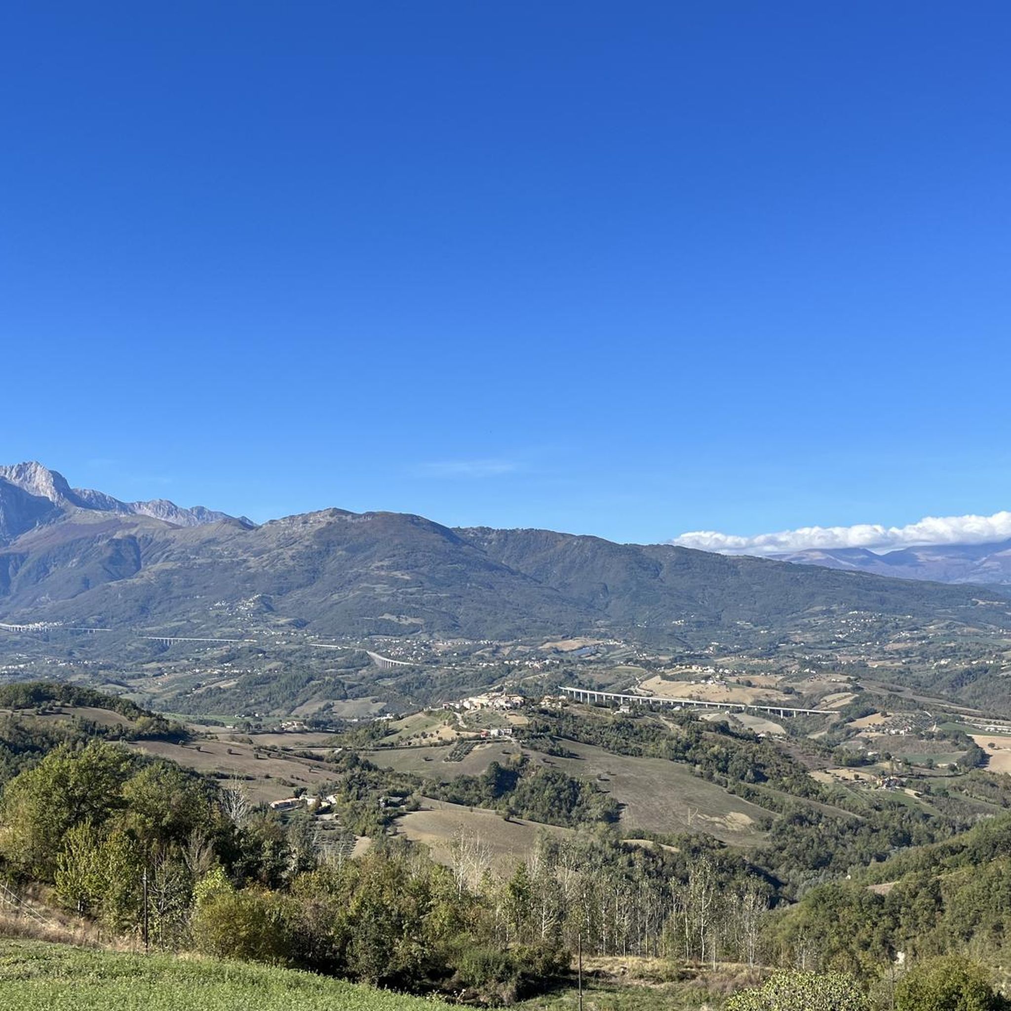
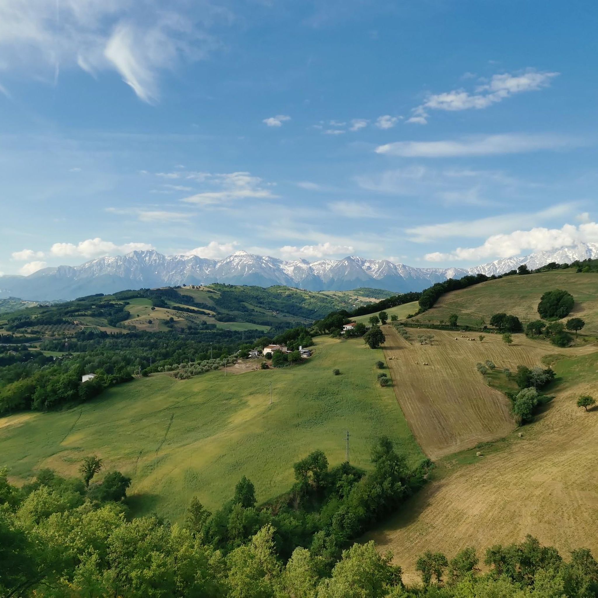
Hiking around Castel Castagna offers diverse terrain within the Gran Sasso e Monti della Laga National Park. The region is characterized by mountainous landscapes, including significant peaks and valleys, with routes often traversing through varied elevations and natural features. Hikers can expect a mix of forest paths, open mountain trails, and views of the surrounding Abruzzo countryside.
Best hiking trails around Castel Castagna
- The most popular hiking route is From Colle Rustico to Fondo della Salsa – Gran Sasso e…
Last updated: July 8, 2026
4.9
(10)
42
hikers
Moderate hike. Good fitness required. Easily-accessible paths. Suitable for all skill levels.
4.8
(4)
37
hikers
Hard hike. Very good fitness required. Easily-accessible paths. Suitable for all skill levels.

Sign up for free
4.0
(2)
7
hikers
Moderate hike. Good fitness required. Mostly accessible paths. Sure-footedness required.
5
hikers
13.9km
07:27
1,690m
1,690m
Hard hike. Very good fitness required. Sure-footedness, sturdy shoes and alpine experience required.
4.0
(2)
2
hikers
Moderate hike. Good fitness required. Easily-accessible paths. Suitable for all skill levels.
Get access to more routes and recommendations from other explorers.
Sign up for free
Already have an account?
Our route recommendations are based on thousands of hikes, rides, and runs completed by other people on komoot.
Start today with a free account
Your next adventure awaits.
Login or Signup
Tips from the Community

Is the trail covered? Is it doable in summer with sun?
0
0


Modest refuge located in the municipality of Isola del Gran Sasso, on the northern side of the massif. It is positioned along the path that connects Forca di Valle and the Ara Pietra.
1
0

The castle of Pagliara is a medieval fortification dating back to the 9th century, located on the Teramo side of the Gran Sasso. Today only the ruins remain, but you can enjoy a panoramic view of the Gran Sasso and the valley.
1
0
Lake Pagliara is a pass between the mountains of the Gran Sasso d'Italia, at an altitude of 852 metres. There is no real lake, but a wetland fed by some springs. From here various hiking trails lead to Monte Prena, Vado Ferruccio and the ruins of the castle of Pagliara, an abandoned medieval fortification.
0
0
Monte Prena is a mountain of the Gran Sasso d'Italia 2,561 meters high. It is located on the eastern crest of the massif, between Monte Shirt and Monte Brancastello.
0
0
Isola del Gran Sasso d'Italia is a town in the province of Teramo, nestled at the foot of the Gran Sasso, in the Gran Sasso and Monti della Laga National Park. In addition to the naturalistic attractions there is a famous Sanctuary dedicated to San Gabriele dell'Addolorata.
0
0
Frequently Asked Questions
How many hiking trails are available around Castel Castagna?
There are over 29 hiking routes around Castel Castagna, offering a wide range of options for different skill levels within the Gran Sasso e Monti della Laga National Park.
Are there easy hiking trails suitable for beginners or families?
Yes, Castel Castagna offers 5 easy hiking trails. These routes are generally shorter and have less elevation gain, making them suitable for a relaxed outing. For example, the route From Colle Rustico to Fondo della Salsa is a moderate option that features a steady ascent through natural landscapes.
What are some challenging hikes for experienced trekkers?
For experienced hikers seeking a challenge, there are 6 difficult routes around Castel Castagna. One such demanding trail is the Ascent to Croce di Cima Alta from Forca di Valle, which involves significant elevation gain and rewards with panoramic views.
Are there any circular walks in the area?
Yes, several routes are designed as loops. A notable circular trail is Le Cascate del Ruzzo e il Lago di Pagliara – loop from Isola Gran Sasso, which takes you through varied terrain including waterfalls and a lake.
Can I find hikes with waterfalls near Castel Castagna?
Absolutely. The region is home to beautiful natural features. You can explore trails that lead to the stunning Ruzzo Waterfalls. The Le Cascate del Ruzzo e il Lago di Pagliara loop is a great option to experience them.
What are the best viewpoints along the trails?
The mountainous terrain offers numerous spectacular viewpoints. Hikers often seek out spots like the Monte Camicia summit, Monte Prena, and the View of Fondo della Salsa for breathtaking vistas of the Gran Sasso e Monti della Laga National Park.
Is Castel Castagna suitable for dog-friendly hiking?
Hiking with dogs is generally permitted in the Gran Sasso e Monti della Laga National Park, but it's essential to keep dogs on a leash to protect wildlife and ensure the safety of other hikers. Always check specific trail regulations before you go.
What do other hikers say about the trails in Castel Castagna?
The trails around Castel Castagna are highly rated by the komoot community, with an average score of 4.2 stars from over 75 reviews. Hikers frequently praise the diverse terrain, from forested paths to open mountain trails, and the stunning views of the Abruzzo countryside.
Are there any historical or cultural landmarks to explore near the hiking routes?
Beyond the natural beauty, you can find points of interest such as the Sanctuary of Saint Gabriel of Our Lady of Sorrows. Some routes, like The Castello di Pagliara – loop from Isola Gran Sasso, even incorporate historical sites into their paths.
What is the best time of year to hike around Castel Castagna?
The best time for hiking around Castel Castagna is typically from late spring to early autumn (May to October), when the weather is mild and the trails are clear. Summer offers lush landscapes, while autumn brings vibrant foliage. Winter hiking is possible but requires appropriate gear for snow and ice, especially at higher elevations.
Where can I find parking for the trailheads?
Parking availability varies by trailhead. Many popular starting points within the Gran Sasso e Monti della Laga National Park, especially near villages or key access roads, offer designated parking areas. It's advisable to check specific route descriptions or local signage for the most accurate parking information.
Are there any mountain huts or refuges along the trails?
Yes, for longer or more challenging hikes, you might encounter mountain huts. The Rifugio Orazio Delfico is one such refuge in the area, providing a potential stop for rest or shelter on certain routes.
Most popular attractions around Castel Castagna

Get inspired with the komoot mobile app


Explore more
Browse the best Hikes in other regions.
