The best mountain hikes around Isola Del Gran Sasso D'Italia
4.9
(59)
470
hikers
13
hikes
Mountaineering routes around Isola Del Gran Sasso D'Italia traverse the rugged landscapes of the Gran Sasso Massif, home to the highest peaks in the Apennine Mountains. The region is characterized by its limestone and dolomite composition, forming imposing rock formations ideal for climbing. Notable features include Corno Grande, the highest peak in the Apennines, and the vast Campo Imperatore plateau, which serves as a starting point for many routes. The terrain elevation difficulty varies, offering challenging ascents across its diverse…
Last updated: August 29, 2026
4.9
(37)
260
hikers
10.7km
05:22
770m
770m
Hard mountaineering route. Very good fitness required. Sure-footedness, sturdy shoes and alpine experience required.
4.8
(5)
69
hikers
10.9km
06:36
900m
900m
Hard mountaineering route. Very good fitness required. Sure-footedness, sturdy shoes and alpine experience required.

Sign up for free
4.6
(8)
46
hikers
12.9km
07:35
1,230m
1,230m
Hard mountaineering route. Very good fitness required. Sure-footedness, sturdy shoes and alpine experience required.
5.0
(1)
14
hikers
Moderate mountaineering route. Great for any fitness level. Mostly accessible paths. Sure-footedness required.
5.0
(1)
15
hikers
Hard mountaineering route. Very good fitness required. Sure-footedness, sturdy shoes and alpine experience required.
Get access to more routes and recommendations from other explorers.
Sign up for free
Already have an account?
Our route recommendations are based on thousands of hikes, rides, and runs completed by other people on komoot.
Start today with a free account
Your next adventure awaits.
Login or Signup
Popular around Isola Del Gran Sasso D'Italia

Tips from the Community

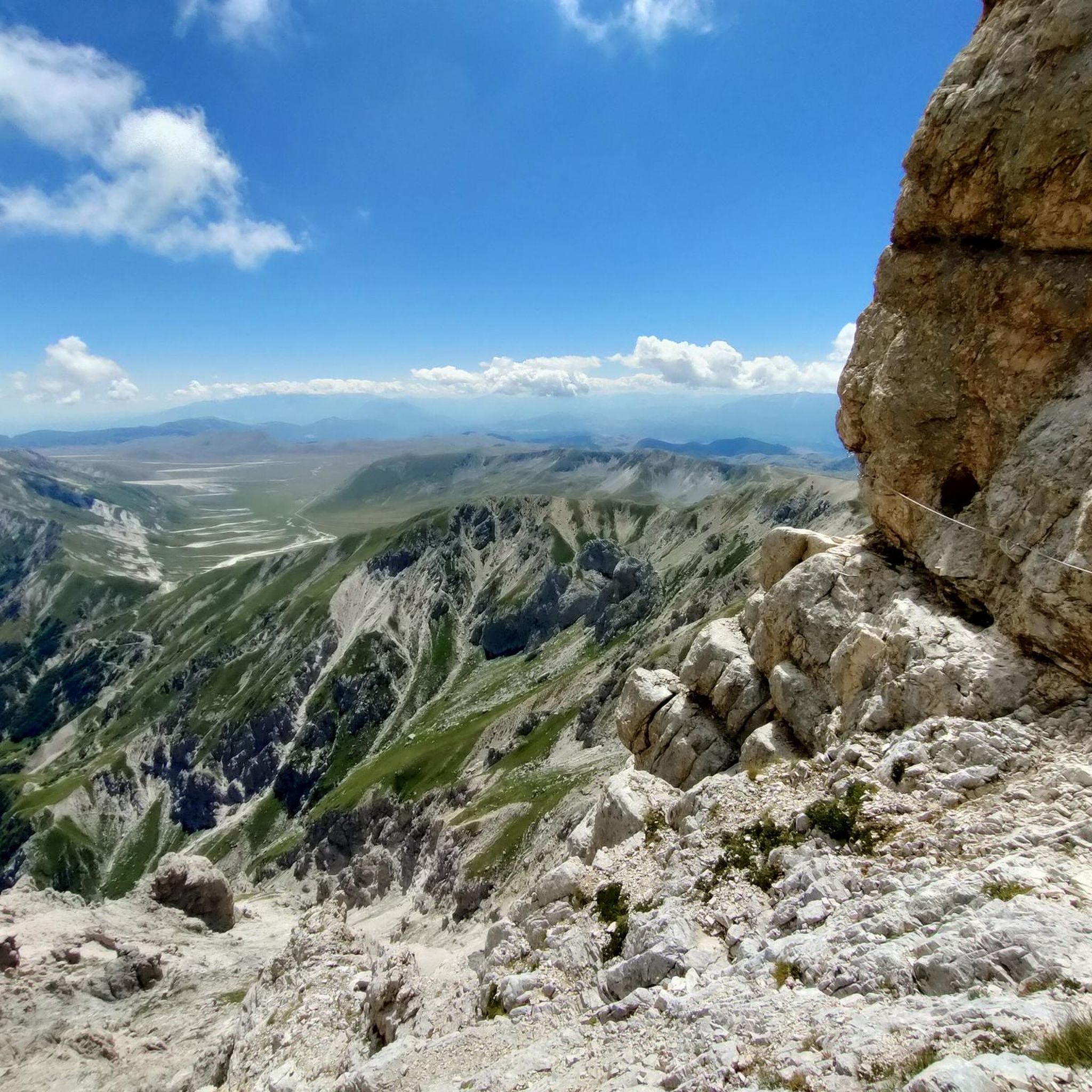
There is a short, but not exposed, crux with III-, I hadn't informed myself enough and was without a helmet, but it wouldn't have hurt. The surprise par excellence was a couple who were there with 4 dogs, who really struggled... while others were even with a mountain guide.
0
0

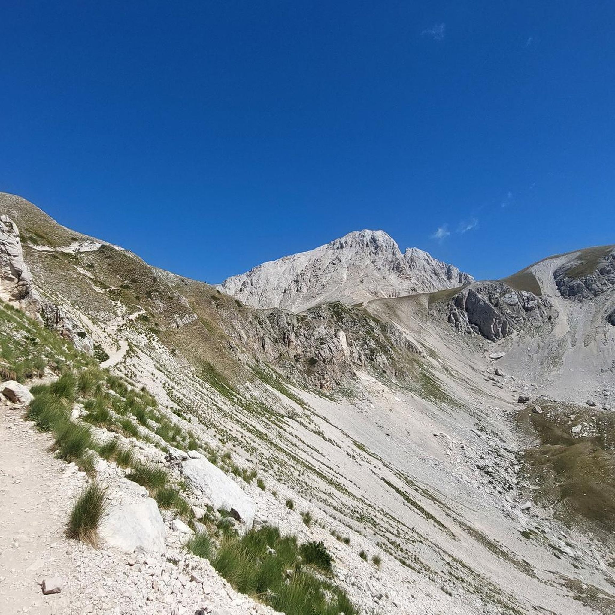
The panoramas once you climb from Campo Imperatore are all majestic
0
0
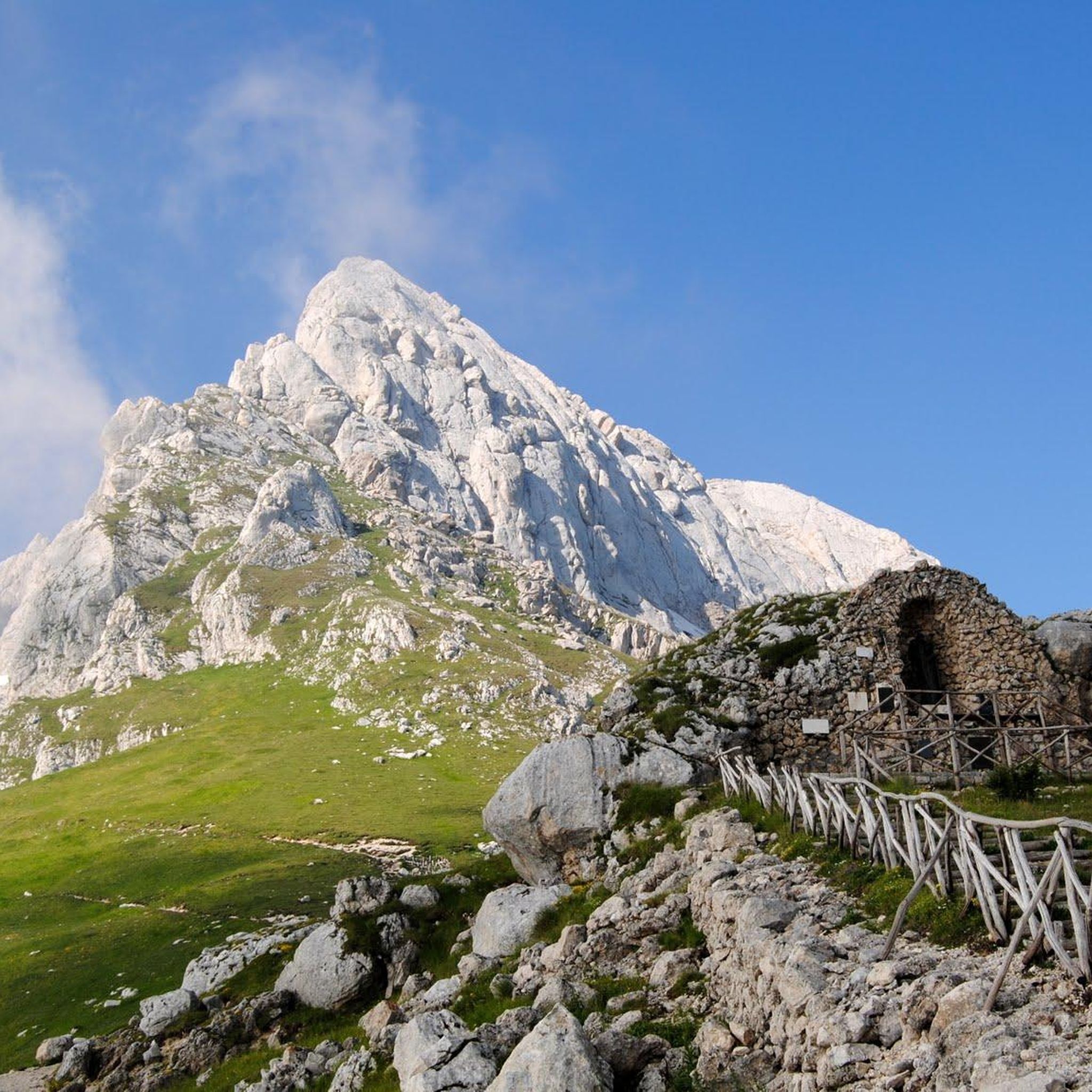
Built there because the night sky from up there touches the heart and relaxes the spirit. In any case, a welcome sight when you descend :)
0
0

Minor peak of Gran Sasso but with an equally valid panorama
0
0
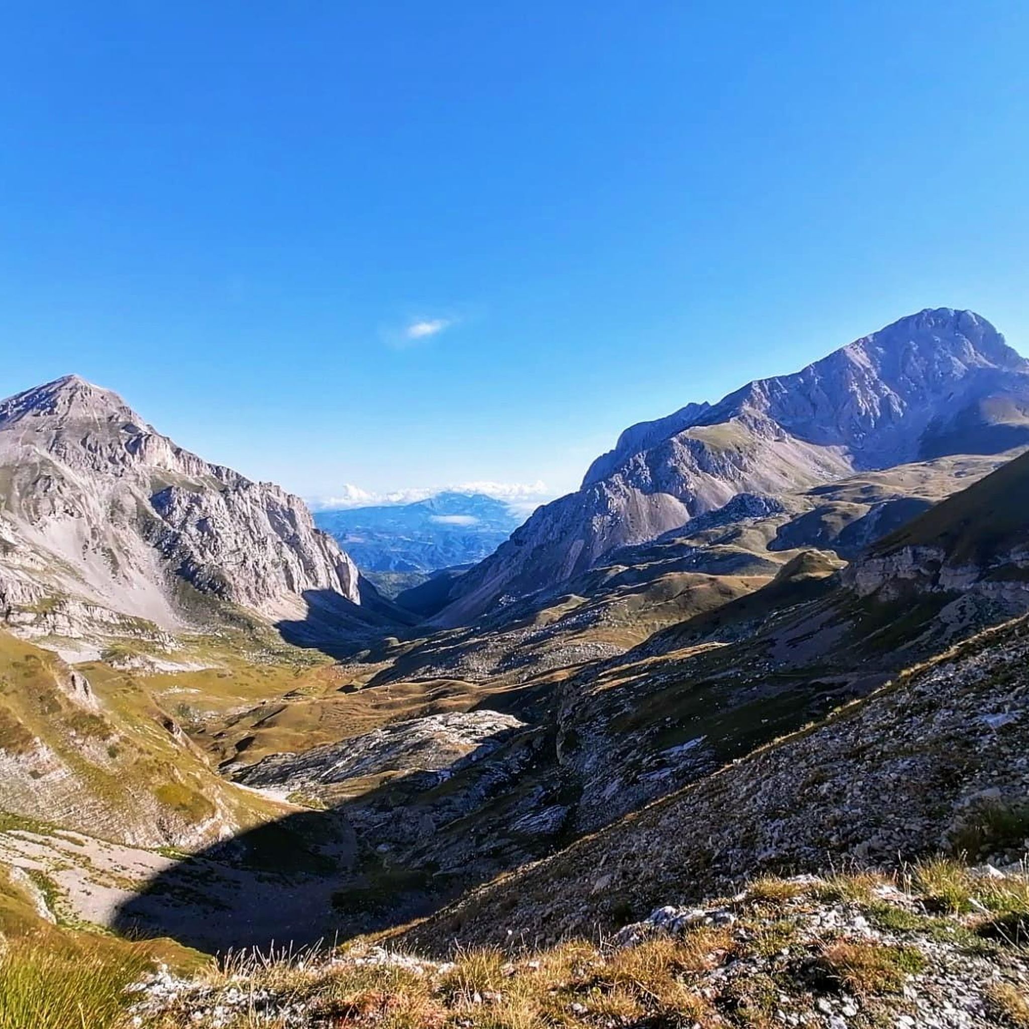
Immense panorama of the Vallone delle Cornacchie and the eastern and southern peaks of the chain
0
0

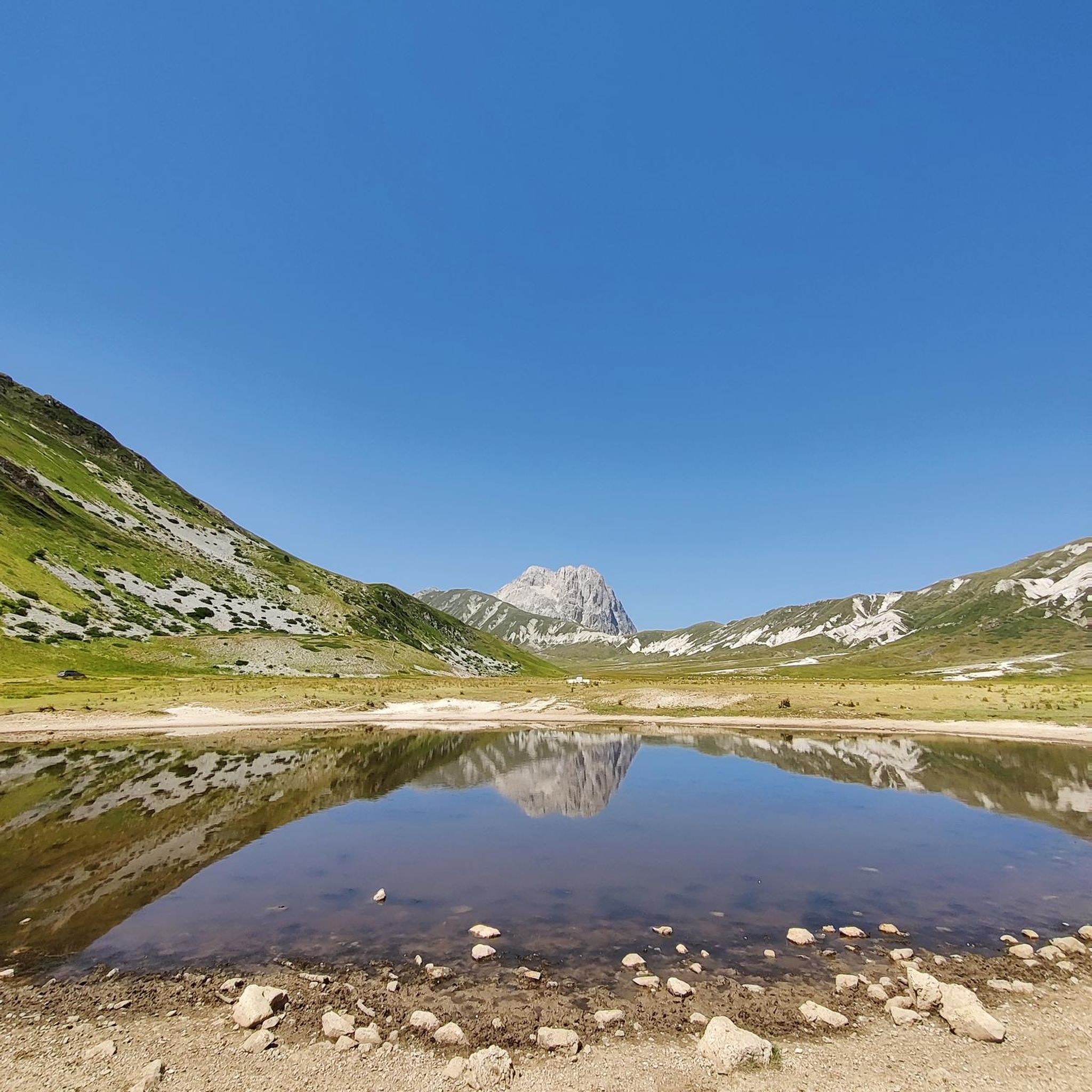
Campo Imperatore is an absolute must-see due to its otherworldly, vast mountain landscape, also known as 'Little Tibet' (Piccolo Tibet). It is one of the largest and highest plateaus in Europe (located at approx. 1,800 to 2,100 meters).
4
0
The endpoint by car is the large mountain square Piazzale di Campo Imperatore (2,130 meters). The breathtaking mountain road SS17bis leads you from the valley right up to the doors of the Hotel Campo Imperatore and the Astronomical Observatory. Why shouldn't you miss Campo Imperatore? Because here you are right in the middle of the high mountains without a strenuous climb. At an altitude of 2,130 meters, you are surrounded by impressive mountain peaks and begin one of the most beautiful hiking areas in the Apennines. The car journey there is an experience in itself: a winding road through the spectacular landscape of 'Little Tibet', where you often encounter horses, cows, and large flocks of sheep along the way. At the top, you will also find a unique mix of nature, history, and culture, with the historic hotel where Mussolini was imprisoned, the highest church in Italy, the astronomical observatory, and cozy food trucks where you can enjoy local specialties such as fresh pecorino and generously filled sandwiches.
5
0
The Funivia del Gran Sasso d'Italia (the cable car to Campo Imperatore) was originally opened in 1934 and was recently reopened on June 15, 2026, after a period of significant maintenance. The cable car connects the valley station in Fonte Cerreto (Assergi, at 1,117 meters) with the Campo Imperatore plateau (at 2,130 meters). The cable car to Campo Imperatore has a rich history. The first installation was built in 1934 during the reign of Benito Mussolini and was considered a technical masterpiece and one of the longest cable cars in the world at the time. It also played a role in the spectacular liberation of Mussolini during World War II. The original cabins remained in use until 1985. After a complete modernization, the current cable car was put into operation in 1988. With two cabins for 100 passengers each, it covers a distance of over 3 kilometers and an altitude difference of 1,013 meters in just seven minutes. Following extensive safety works, including the replacement of the support cables, the cable car has been fully operational again since June 2026. Opening hours: During the summer season (until the end of August 2026), the cable car to Campo Imperatore is open daily from 07:30 to 19:30. The cabins depart every 30 minutes. Please note that in case of strong winds or other extreme weather conditions, the cable car may be temporarily taken out of service to ensure the safety of travelers.
6
1
Frequently Asked Questions
What kind of mountaineering routes can I expect around Isola Del Gran Sasso D'Italia?
The Gran Sasso Massif offers a diverse range of mountaineering routes, primarily characterized by its rugged limestone and dolomite formations. You'll find challenging ascents to high peaks like Corno Grande and Corno Piccolo, with routes often involving significant elevation gain. The region is known for its technical terrain, including via ferratas and exposed sections, making it suitable for experienced mountaineers. All 16 routes listed in this guide are rated as difficult.
Are there any circular mountaineering routes in the Gran Sasso area?
Yes, many of the mountaineering routes around Isola Del Gran Sasso D'Italia are designed as loops, allowing you to return to your starting point without retracing your steps. For example, the Campo Imperatore – Corno Grande loop from Campo Imperatore and the Ferrata Danesi – Corno Piccolo (2655 m) loop from Prati di Tivo are popular circular options.
What natural features and landmarks can I see while mountaineering in Gran Sasso?
The Gran Sasso region is rich in stunning natural features and landmarks. You can ascend to the Corno Grande Western Summit, the highest peak in the Apennines, or enjoy panoramic views from Monte Aquila Summit. The vast Campo Imperatore plateau, often called 'Little Tibet,' is a significant starting point and offers breathtaking vistas. You might also encounter the Madonnina (Gran Sasso), a notable viewpoint.
Where can I find huts or refreshment stops along the mountaineering routes?
There are several huts and refreshment stops available in the Gran Sasso area to support mountaineers. Notable options include the Duca degli Abruzzi Hut, the Garibaldi Hut, and the Carlo Franchetti Hut. For a refreshment stop, consider the Mucciante Refreshment Stop. These provide essential services and shelter during your expeditions.
What is the best time of year for mountaineering in Gran Sasso?
The best time for mountaineering in Gran Sasso generally spans from late spring to early autumn, typically June through September. During these months, the weather is more stable, and snow has largely melted from the higher elevations, making routes more accessible. However, conditions can change rapidly in the mountains, so always check the latest weather forecasts before heading out. Winter mountaineering is also possible but requires specialized equipment and experience due to snow, ice, and avalanche risks.
Do I need any special permits for mountaineering in the Gran Sasso National Park?
Mountaineering in the Gran Sasso and Monti della Laga National Park generally does not require specific permits for hiking or climbing on established routes. However, it's always advisable to check the official park regulations for any specific restrictions or requirements, especially for certain technical climbs or protected areas. Always respect the park's rules to preserve its unique environment.
Where can I park when starting mountaineering routes in Gran Sasso?
Many popular mountaineering routes in Gran Sasso start from well-known access points with parking facilities. Campo Imperatore is a primary starting point for many ascents, including those to Corno Grande, and typically offers parking. Similarly, Prati di Tivo is another key access point, especially for routes around Corno Piccolo, and provides parking options for mountaineers.
Is public transport available to reach the trailheads in Gran Sasso?
Public transport options to reach the higher trailheads like Campo Imperatore or Prati di Tivo can be limited, especially outside of peak tourist season. While some bus services might operate during summer months, it's often more convenient to reach these starting points by car. Always check local transport schedules in advance if you plan to rely on public transport.
What are some challenging routes for experienced mountaineers in the Gran Sasso area?
For experienced mountaineers seeking a challenge, the Gran Sasso offers several demanding routes. The Pier Paolo Ventricini Trail – Corno Piccolo (2655 m) loop from Prati di Tivo is an 8-mile trail through high alpine terrain. Another option is the Corno Grande East Summit – Corno Grande Ridge loop from Gran Sasso d'Italia, which involves ascending to the East Summit and traversing the ridge.
What do other mountaineers enjoy most about the routes in Isola Del Gran Sasso D'Italia?
The mountaineering routes around Isola Del Gran Sasso D'Italia are highly rated by the komoot community, with an average score of 4.9 stars from over 60 reviews. Mountaineers often praise the challenging ascents, the breathtaking panoramic views from the peaks, and the unique rugged beauty of the Gran Sasso Massif. The diverse terrain, from the vast Campo Imperatore plateau to the imposing rock formations, also contributes to a memorable experience.
Are there any family-friendly mountaineering routes in Gran Sasso?
The mountaineering routes listed in this guide are all rated as difficult, indicating they are generally not suitable for families with young children or those new to mountaineering. These routes often involve significant elevation gain, technical sections, and exposure. For family-friendly options, you might consider easier hiking trails within the broader Gran Sasso and Monti della Laga National Park, which offer less demanding terrain and shorter distances.
Can I bring my dog on the mountaineering trails in Gran Sasso?
While the Gran Sasso and Monti della Laga National Park generally allows dogs on trails, specific restrictions may apply in certain protected areas or on particular routes, especially those involving via ferratas or very technical sections. It's always best to check the latest park regulations regarding pets, and ensure your dog is well-behaved, on a leash, and capable of handling the strenuous terrain and potential exposure of mountaineering routes.
What is the elevation gain for typical mountaineering routes in this region?
Mountaineering routes in the Gran Sasso area typically involve significant elevation gain due to the high peaks. For example, the Ferrata Danesi – Corno Piccolo (2655 m) loop from Prati di Tivo has an elevation gain of over 1,000 meters (3,280 feet). Even shorter routes like the Campo Imperatore – Corno Grande loop from Campo Imperatore involve around 770 meters (2,526 feet) of ascent.
Most popular routes around Isola Del Gran Sasso D'Italia
Most popular attractions around Isola Del Gran Sasso D'Italia

Get inspired with the komoot mobile app


Explore more
Browse the best Mountain Hikes & Routes in other regions.
