The best walks and hikes around Reichmannsdorf
4.6
(6329)
20,979
hikers
22
hikes
Hiking around Reichmannsdorf offers trails through extensive forests, situated at an altitude of 700 meters. The region provides panoramic views stretching into the Thuringian and Franconian areas. Notable natural features include the scenic Schwarza Valley and various gorges. The landscape is characterized by its forested hills and elevated viewpoints.
Best hiking trails around Reichmannsdorf
- The most popular hiking route is Gebrannte Hütte loop from Reichmannsdorf, a 3.7 miles (6.0 km) trail that takes 1 hour 35 minutes to complete.…
Last updated: August 17, 2026
4.7
(21)
92
hikers
Easy hike. Great for any fitness level. Easily-accessible paths. Suitable for all skill levels.
4.0
(6)
12
hikers
17.6km
05:03
400m
400m
Hard hike. Very good fitness required. Easily-accessible paths. Suitable for all skill levels.

Sign up for free
4.8
(6)
14
hikers
Easy hike. Great for any fitness level. Easily-accessible paths. Suitable for all skill levels.
5.0
(9)
22
hikers
12.4km
03:37
350m
350m
Moderate hike. Good fitness required. Easily-accessible paths. Suitable for all skill levels.
4.5
(2)
8
hikers
Hard hike. Very good fitness required. Easily-accessible paths. Suitable for all skill levels.
Get access to more routes and recommendations from other explorers.
Sign up for free
Already have an account?
Our route recommendations are based on thousands of hikes, rides, and runs completed by other people on komoot.
Start today with a free account
Your next adventure awaits.
Login or Signup
Tips from the Community


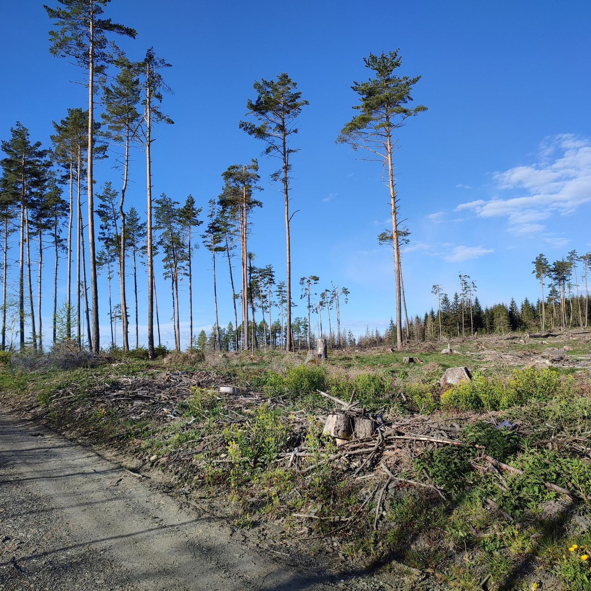
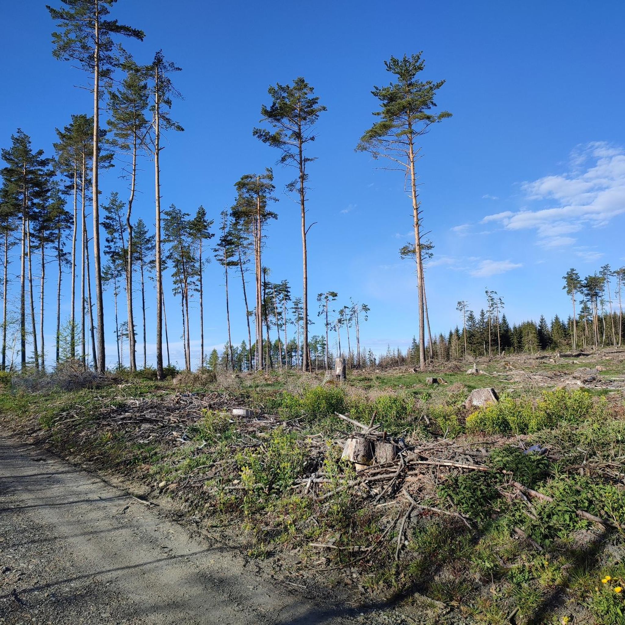
⚠️ Attention, the bridge is gone! However, there are several shallow spots to cross the stream.
1
0
⚠️ Attention, the bridge is gone! However, there are several shallow spots to cross the stream.
0
0

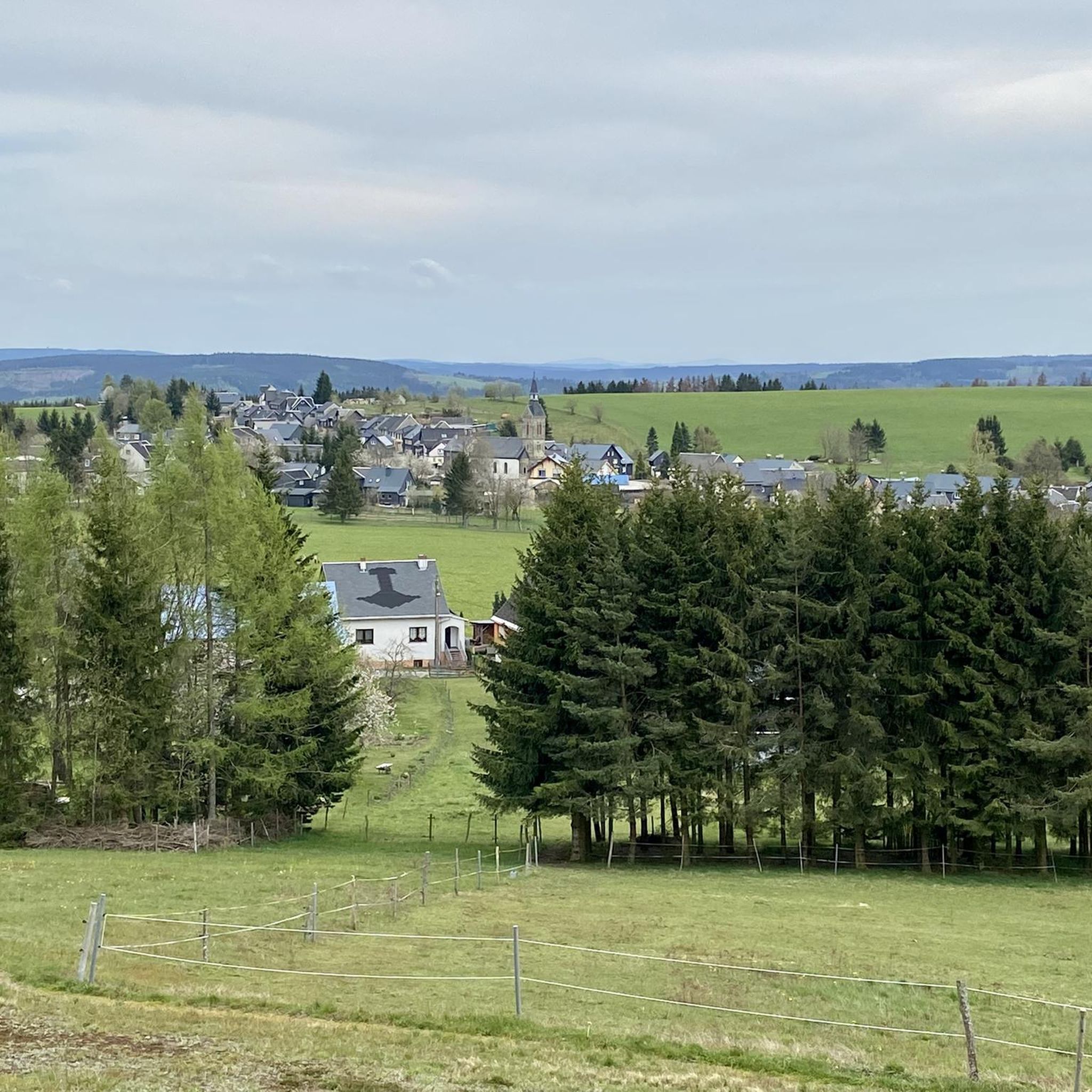
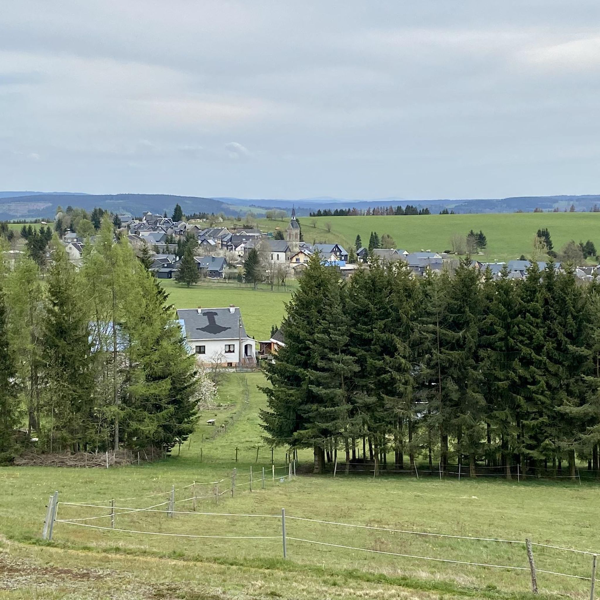
A single-nave church dating from 1729, built on the foundations of an earlier structure. The western neo-Gothic tower, added in 1900, features a gable roof and a spire. Inside are a pulpit altar and a baptismal font.
0
0

The bridge is currently missing. Instead, a plank lies across the stream (actually, more in the stream). It's impossible to cross without getting your feet wet.
0
0

at the Leipzig Tower 😉 really beautiful here
1
0

The path to the Meurasteine is currently closed. Surrounding trees and boulders make the trail impassable for inexperienced hikers.
0
0

Many fallen and burned trees along the trail! Please be careful and wear sturdy shoes!
0
0
Frequently Asked Questions
How many hiking trails are available around Reichmannsdorf?
Reichmannsdorf offers a diverse network of over 20 hiking trails. These routes cater to various fitness levels, from easy village loops to more challenging paths through the forested hills.
Are there easy hiking options suitable for beginners or casual walkers?
Yes, Reichmannsdorf has several easy trails. For a gentle introduction, consider the Church of Reichmannsdorf loop from Reichmannsdorf, which is about 4.9 km and takes around 1 hour 20 minutes. Another accessible option is the Gebrannte Hütte loop from Reichmannsdorf, a 6 km trail with gentle elevation changes.
What kind of views can I expect on the hiking trails in Reichmannsdorf?
The region is known for its extensive forests and offers unforgettable panoramic views. Trails often provide vistas stretching into the Thuringian and Franconian regions, and even as far as the Fichtelgebirge mountains. The Meuselbacher Kuppe, at 786.1 meters, is a notable viewpoint with an observation tower.
Are there any circular hiking routes in Reichmannsdorf?
Many trails around Reichmannsdorf are designed as circular routes, allowing you to start and end in the same location. An example is the 'Around Reichmannsdorf' route, which includes 'Marie's Tree' and the Rotschnabelaussicht lookout, offering wonderful views over the village.
What historical or natural landmarks can I explore while hiking?
Reichmannsdorf has a rich history as a gold mining settlement, with remnants visible along the nature trail at the Goldberg. You can also visit the over 400-year-old 'Aquila-Church' or explore the Fröbel Observation Tower for magnificent panoramic views. For more historical sites, consider exploring nearby castles such as Schwarzburg Castle or Lauenstein Castle.
Are the hiking trails in Reichmannsdorf suitable for families with children?
Yes, many trails are suitable for families. The well-signposted paths and varied distances mean you can choose routes appropriate for different ages and energy levels. Easy loops like the Church of Reichmannsdorf loop are good starting points for family outings.
Can I bring my dog on the hiking trails?
Generally, dogs are welcome on the hiking trails around Reichmannsdorf. It's always advisable to keep your dog on a leash, especially in forested areas or near wildlife, and to respect local regulations. Please ensure you clean up after your pet.
What is the best time of year to go hiking in Reichmannsdorf?
Reichmannsdorf is appealing for hiking throughout much of the year. Spring and autumn offer pleasant temperatures and beautiful scenery with blooming flowers or vibrant foliage. Summer provides longer daylight hours, while winter can transform the landscape into a serene, snow-covered wonderland, though some trails might require appropriate gear.
Are there any challenging hikes for experienced trekkers?
For experienced hikers seeking a challenge, the Meurasteine Rock Formation loop from Reichmannsdorf is a difficult 17.6 km route that explores the area's unique rock formations and requires good fitness. Another demanding option is the View of the Meurasteine loop, which covers a similar distance and elevation.
What do other hikers enjoy most about the trails in Reichmannsdorf?
The hiking routes in Reichmannsdorf are highly rated by the komoot community, with an average score of 4.6 stars from over 1700 reviews. Hikers often praise the extensive forests, the panoramic viewpoints, and the well-maintained paths that offer a peaceful outdoor experience.
Is there public transport available to reach the hiking trailheads?
Reichmannsdorf is a village, and while local bus services connect it to larger towns, direct public transport to specific trailheads might be limited. It's recommended to check local bus schedules in advance or consider driving to the village center, where many loops begin.
Are there places to eat or rest along the hiking routes?
Some routes, particularly those passing through or near the village, may offer opportunities for refreshments. The Meuselbacher Kuppe, a prominent viewpoint, is home to a guesthouse. It's always a good idea to carry sufficient water and snacks, especially on longer trails, as facilities might not be directly on the path.
Most popular routes around Reichmannsdorf
Most popular attractions around Reichmannsdorf

Get inspired with the komoot mobile app


Explore more
Browse the best Hikes in other regions.
