The best walks and hikes around Reichenbach an der Fils
4.4
(386)
2,414
hikers
45
hikes
Hiking around Reichenbach an der Fils offers a variety of trails through the Fils river valley and surrounding hills. The landscape is characterized by mixed woodlands, open fields, and gentle ascents. The region provides a network of paths suitable for exploring the natural environment.
Best hiking trails around Reichenbach an der Fils
- The most popular hiking route is Bannmühle Reichenbachtal – Bridge Near Ölmühle loop from Reichenbach (Fils), a moderate 8.5 miles (13.7 km) trail that takes about 3…
Last updated: October 28, 2026
4.5
(44)
135
hikers
Moderate hike. Good fitness required. Easily walkable paths.
4.5
(28)
81
hikers
Moderate hike. Good fitness required. Easily walkable paths.

4.8
(6)
37
hikers
Moderate hike. Good fitness required. Easily walkable paths.
4.6
(5)
27
hikers
Easy hike. Easily walkable paths.
4.3
(3)
28
hikers
Easy hike. Easily walkable paths.
Get access to more routes and recommendations from other explorers.
Already have an account?
Our route recommendations are based on thousands of hikes, rides, and runs completed by other people on komoot.
Start today with a free account
Your next adventure awaits.
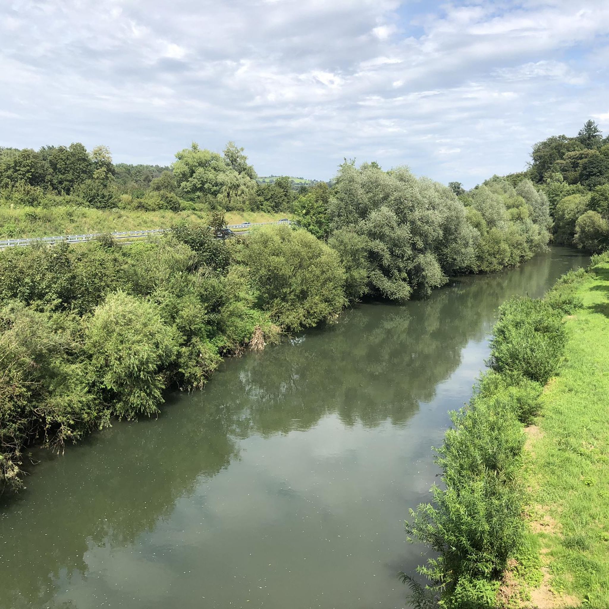
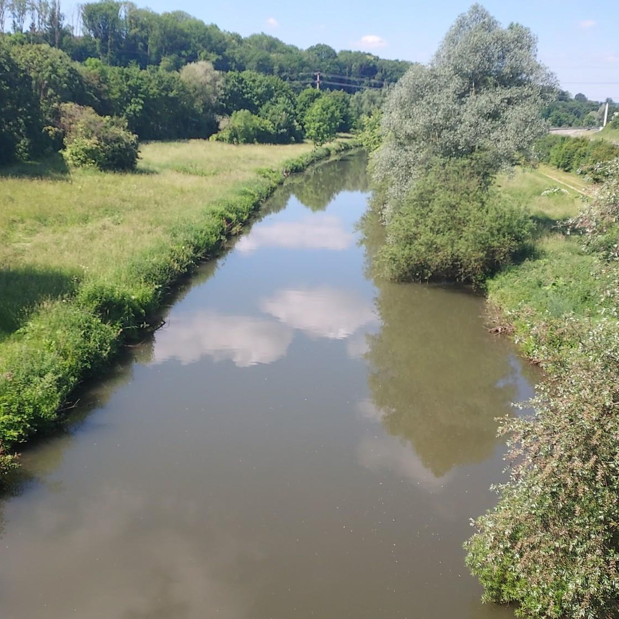
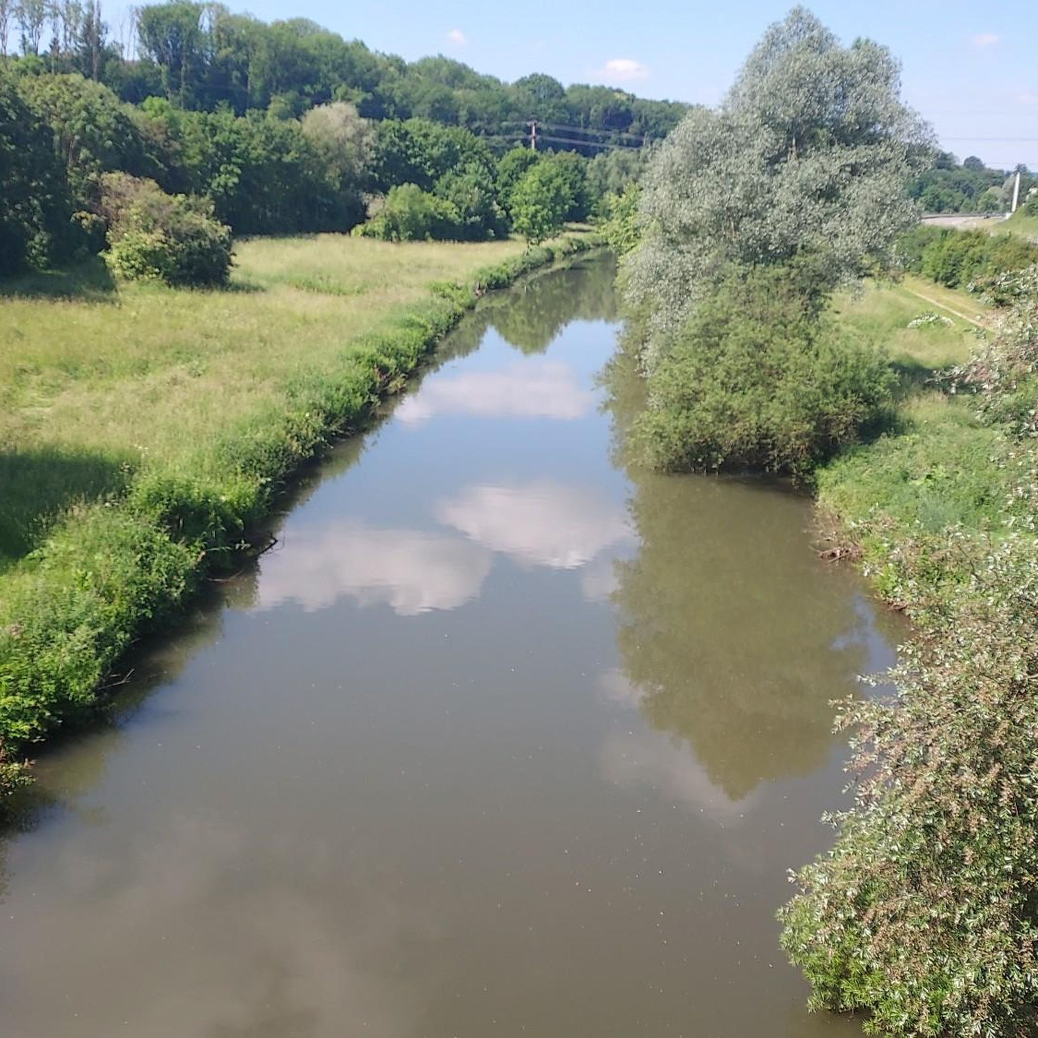
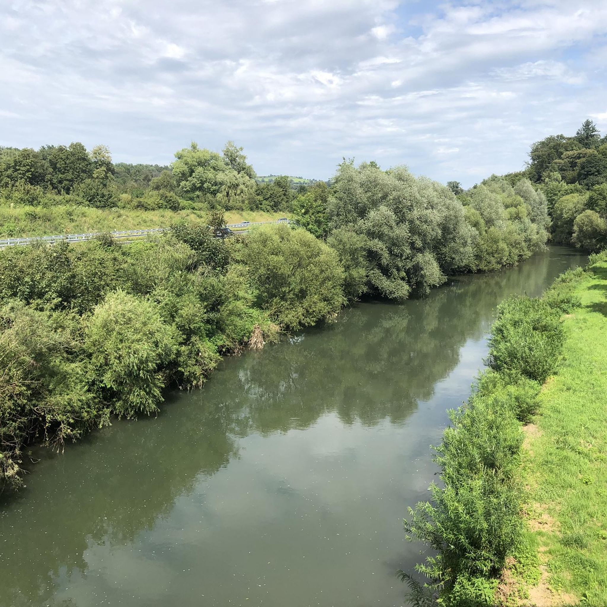
Tips from the Community

Restaurant with friendly service and good food
0
0

Biotope directly on the hiking trail with seating for a short rest and a beautiful view of the small forest lake.
5
0
The Alte Bogenstein arch bridge, which although no longer accessible due to the risk of collapse, is still very beautiful to look at due to its idyllic location.
6
0
The mill is the older of two historic mills in the valley (the neighboring oil mill dates from 1772) and was first documented in 1402 as the property of the Nellingen provostry. The name goes back to the old manorial milling right (the so-called compulsory grinding). The inhabitants of the surrounding hamlets of Baltmannsweiler, Hegenlohe, Hohengehren, and Thomashardt were legally "banned" – i.e. obliged – to have their grain ground exclusively here.
7
0
Spring from a large stone, located directly on the hiking trail.
8
0

Herrenbachstausee without water
0
0

Nicely done and a way to view the meandering Reichenbach stream.
0
0

Here you'll find giant sequoia trees! They're really interesting to take a closer look at, very impressive!
2
0
Frequently Asked Questions
How many hiking trails are there in Reichenbach an der Fils?
Reichenbach an der Fils offers a diverse network of over 40 hiking trails. These routes cater to various fitness levels, including 18 easy, 24 moderate, and 2 difficult options, ensuring there's a suitable path for everyone.
Are there easy hiking trails suitable for beginners or families in Reichenbach an der Fils?
Yes, Reichenbach an der Fils has 18 easy hiking trails perfect for beginners or families. A great option is the Oil mill in the Reichenbach Valley – Bridge Near Ölmühle loop from GVV Reichenbach an der Fils, which is 6.2 km long and takes about 2 hours to complete, offering a gentle introduction to the area's scenery.
What kind of landscape can I expect on hikes around Reichenbach an der Fils?
The landscape around Reichenbach an der Fils is characterized by the picturesque Fils river valley, mixed woodlands, and open fields. You'll encounter gentle ascents and rolling hills, providing a varied and pleasant natural environment for your hikes.
Are there any circular walks in Reichenbach an der Fils?
Yes, many of the trails in Reichenbach an der Fils are designed as circular routes, allowing you to start and end at the same point. An example is the Jakobsbrunnen – Forester's Spring loop from Reichenbach an der Fils, a moderate 9.7 km trail that offers a complete loop through the local scenery.
What do other hikers enjoy most about hiking in Reichenbach an der Fils?
The hiking trails in Reichenbach an der Fils are highly regarded by the komoot community, with an average rating of 4.5 stars from over 200 reviews. Hikers often praise the well-maintained paths, the peaceful woodlands, and the scenic views of the Fils river valley.
Are there any viewpoints or interesting landmarks along the hiking trails?
Yes, you can discover several interesting spots. For panoramic views, consider visiting the Schützenhüttle Viewpoint. Additionally, you might encounter charming huts like the Naturfreundehaus Strümpfelbach, which also features a sculpture trail.
Can I find places to eat or drink along the hiking routes?
Yes, there are options to refuel during or after your hike. The Fischerhütte Wendlingen Beer Garden is a popular spot, and you may also find other local huts like the Sängerheim Weinberg Meeting Point or the Kirchheim Field Hut, which often offer refreshments.
Are there any lakes near Reichenbach an der Fils that I can visit?
Yes, the region around Reichenbach an der Fils features several beautiful lakes. You could explore the Herrenbach Reservoir, the tranquil Bürgerseen, or the serene Eichensee, all of which offer pleasant natural settings.
How long do hikes typically take in Reichenbach an der Fils?
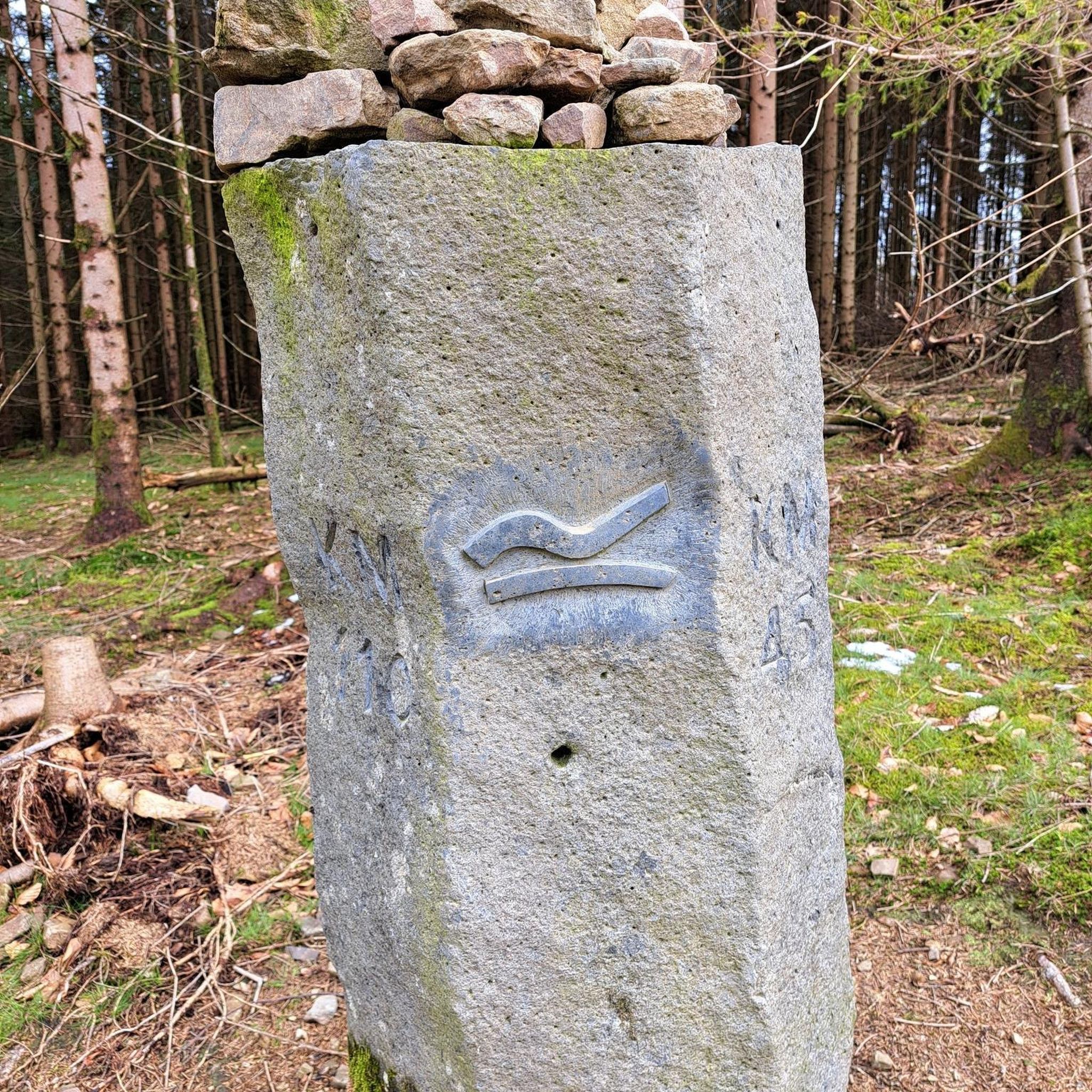
Hiking durations vary depending on the trail's length and difficulty. For example, the moderate Naturfreunde Brünnele – Boundary stone loop from Reichenbach an der Fils, which is 10 km, typically takes about 2 hours 45 minutes. Shorter, easy routes can be completed in under 2 hours, while longer moderate trails might take up to 4 hours.
Is Reichenbach an der Fils accessible by public transport for hikers?
Reichenbach an der Fils is generally well-connected by public transport, making it possible to reach trailheads without a car. The town has a train station, and local bus services can often take you closer to various starting points for your hikes.
Are there parking facilities available near the trailheads?
Yes, many popular trailheads in and around Reichenbach an der Fils offer designated parking areas. While specific parking availability can vary by route, you'll generally find options for parking your car conveniently close to the start of your hike.
What is the best time of year to go hiking in Reichenbach an der Fils?
The best time to hike in Reichenbach an der Fils is typically from spring through autumn. During these seasons, the weather is generally mild and pleasant, and the natural scenery, from blooming wildflowers to vibrant autumn foliage, is at its most beautiful. Winter hiking is also possible, but trails may be muddy or icy.
Most popular routes around Reichenbach an der Fils
Most popular attractions around Reichenbach an der Fils

Get inspired with the komoot mobile app


Explore more
Browse the best Hikes in other regions.
