The best walks and hikes around Reichelsheim (Odenwald)
4.7
(3288)
10,805
hikers
280
hikes
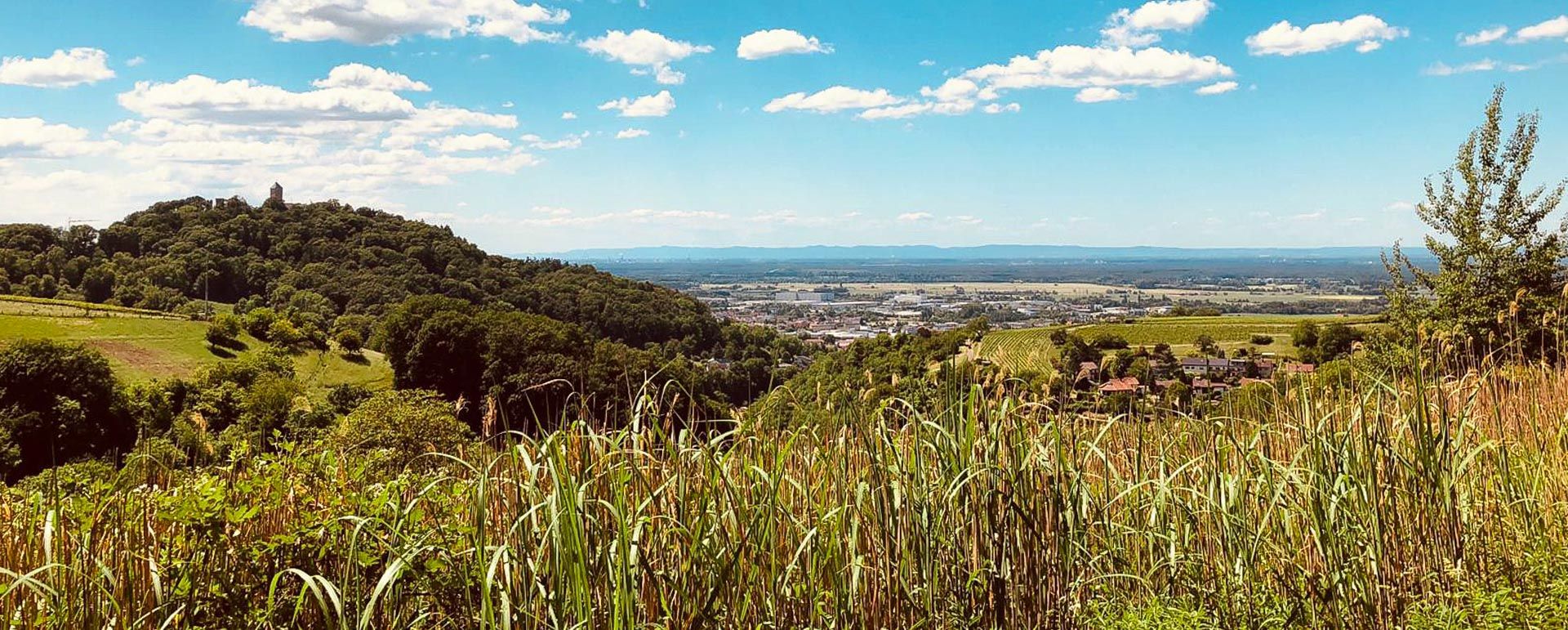
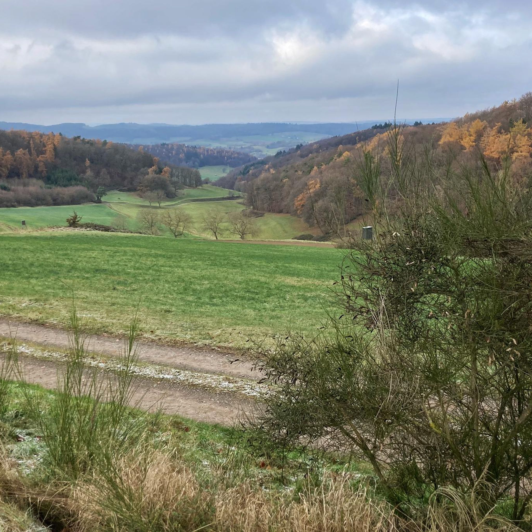
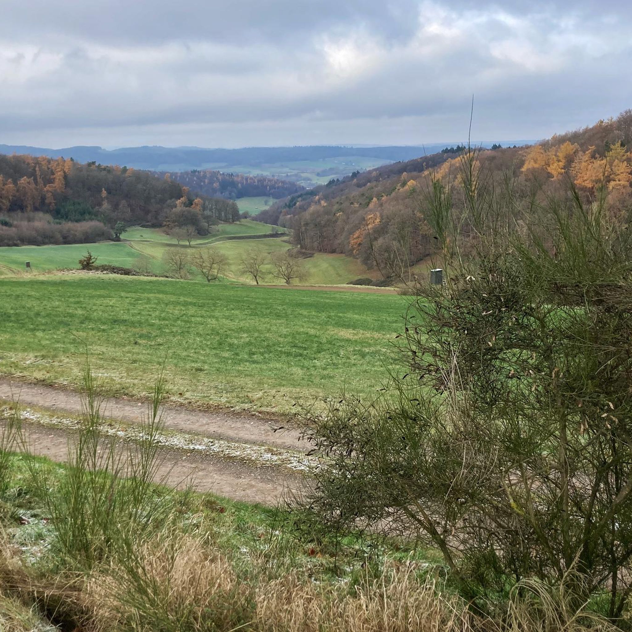
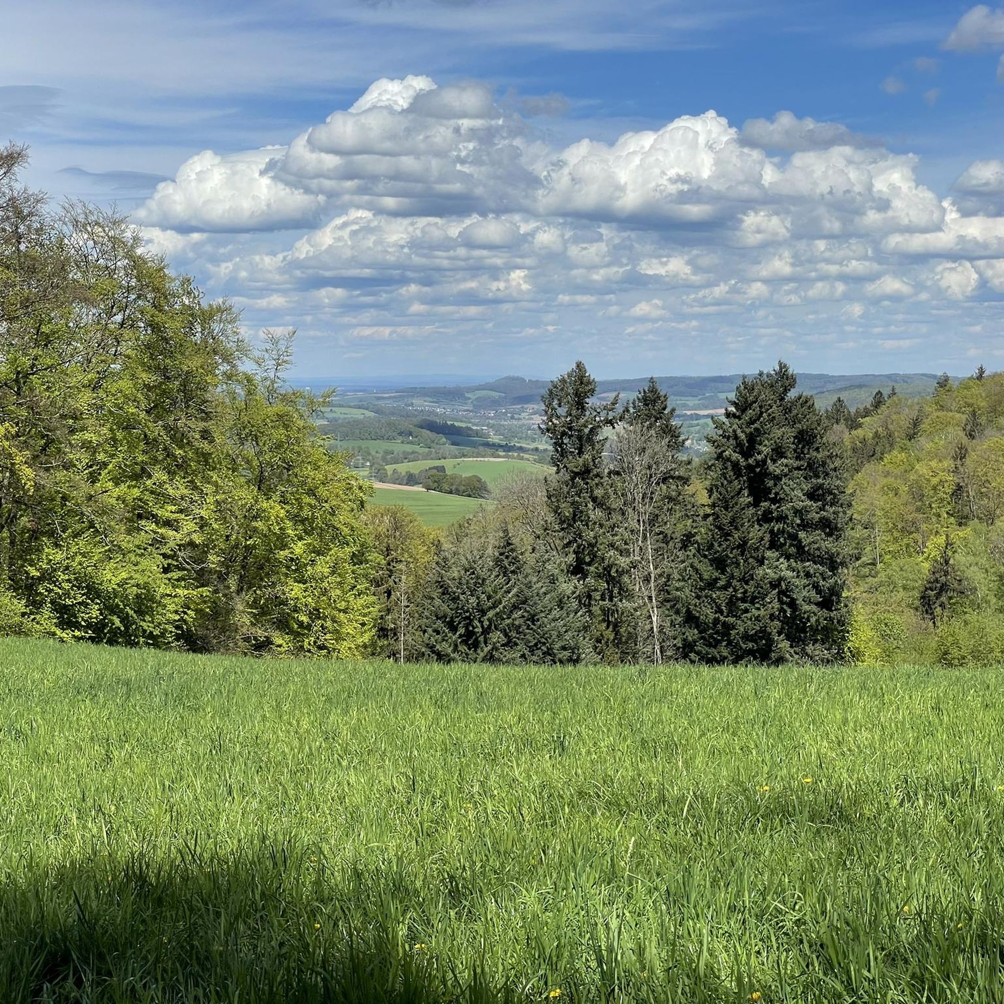
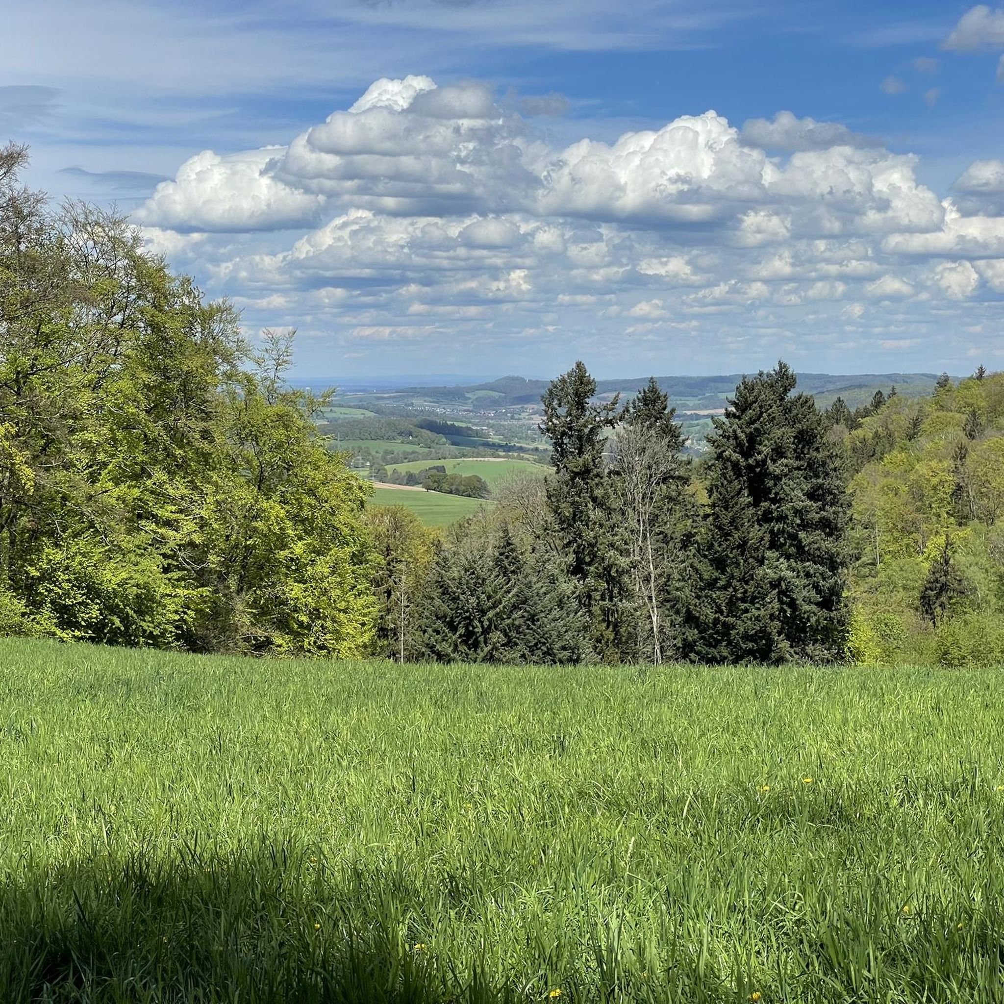
Hiking around Reichelsheim (Odenwald) offers exploration within the scenic Odenwald low mountain range in Germany. The region features a diverse landscape of rolling hills, deeply carved valleys, and extensive forested paths. Situated within the Geo-Naturpark Bergstraße-Odenwald, it includes varied terrain with clear streams and meadows. Hikers can experience paths ranging from dense woodlands to open landscapes.
Best hiking trails around Reichelsheim (Odenwald)
- The most popular hiking route is Lindenfels — Old Town and Castle – Bismarck Tower, Lindenfels loop from…
Last updated: October 4, 2026
4.9
(61)
207
hikers
Hard hike. Very good fitness required. Easily-accessible paths. Suitable for all skill levels.
4.7
(452)
1,325
hikers
Moderate hike. Good fitness required. Easily-accessible paths. Suitable for all skill levels.

4.7
(23)
96
hikers
Moderate hike. Good fitness required. Easily-accessible paths. Suitable for all skill levels.
4.7
(22)
88
hikers
Moderate hike. Good fitness required. Easily-accessible paths. Suitable for all skill levels.
4.9
(108)
270
hikers
Moderate hike. Good fitness required. Easily-accessible paths. Suitable for all skill levels.
Get access to more routes and recommendations from other explorers.
Already have an account?
Our route recommendations are based on thousands of hikes, rides, and runs completed by other people on komoot.
Start today with a free account
Your next adventure awaits.
Popular around Reichelsheim (Odenwald)
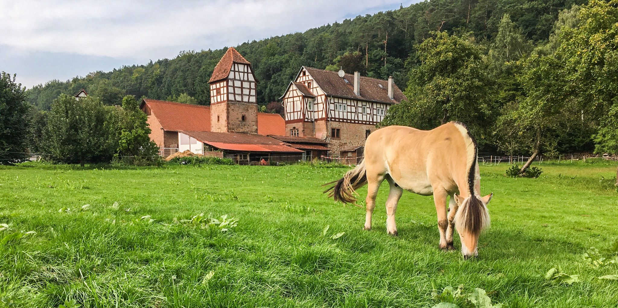
The Alemannenweg – Hiking in the Odenwald
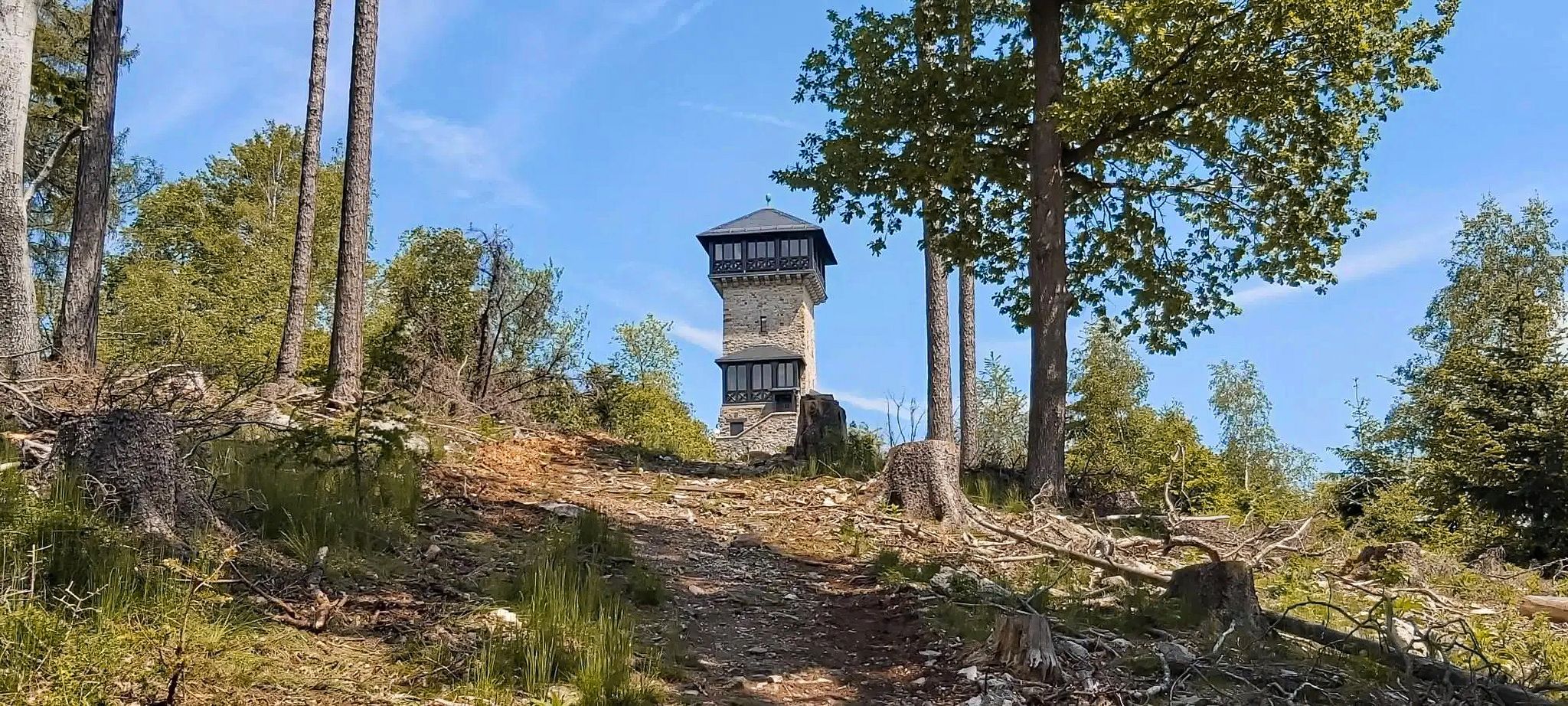
Autumn views: to the most beautiful vantage points in the RMV area
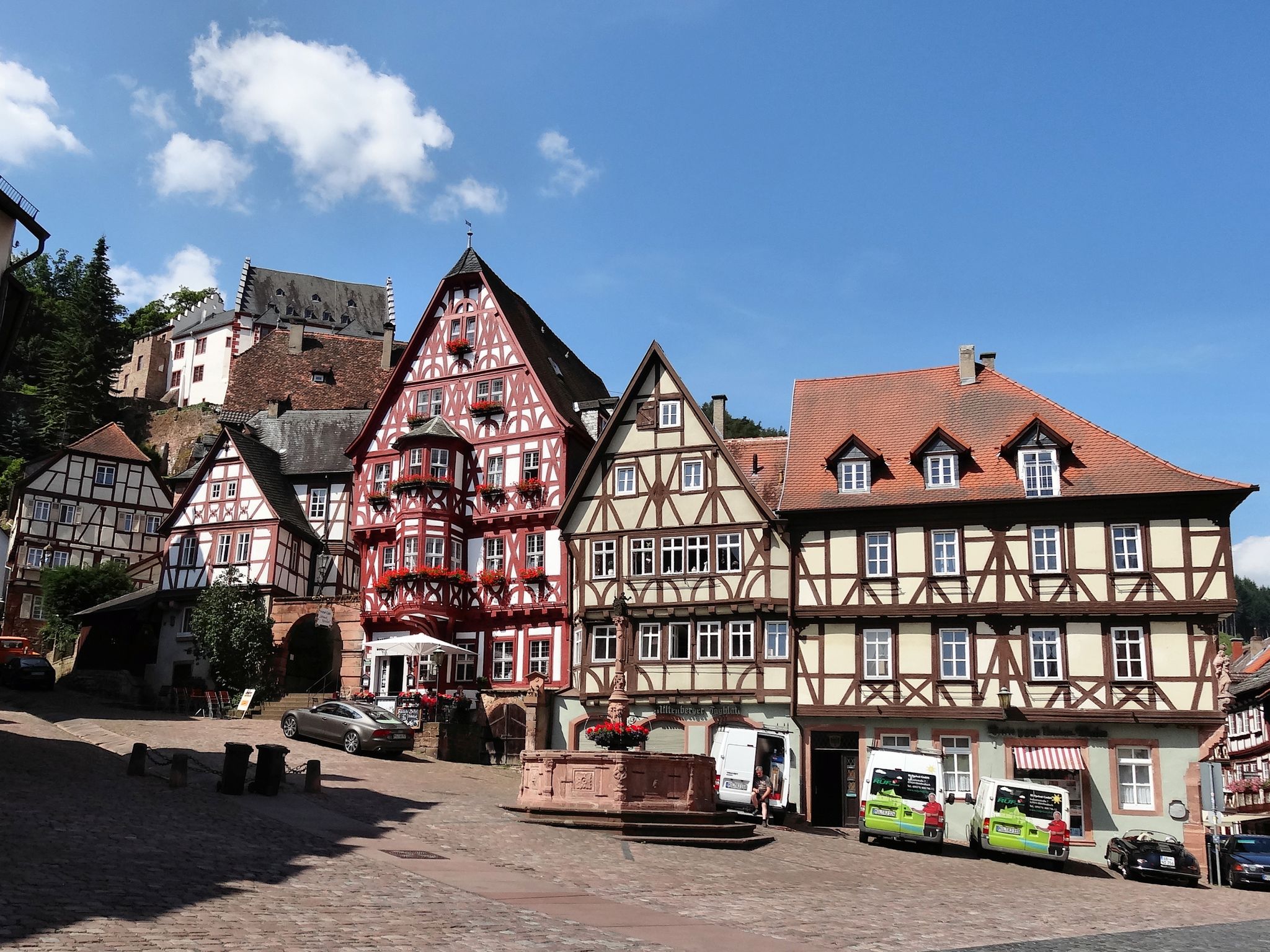
Give me four! - The Four-Country-Way

Varied winter hikes in Germany’s Rhine-Main region
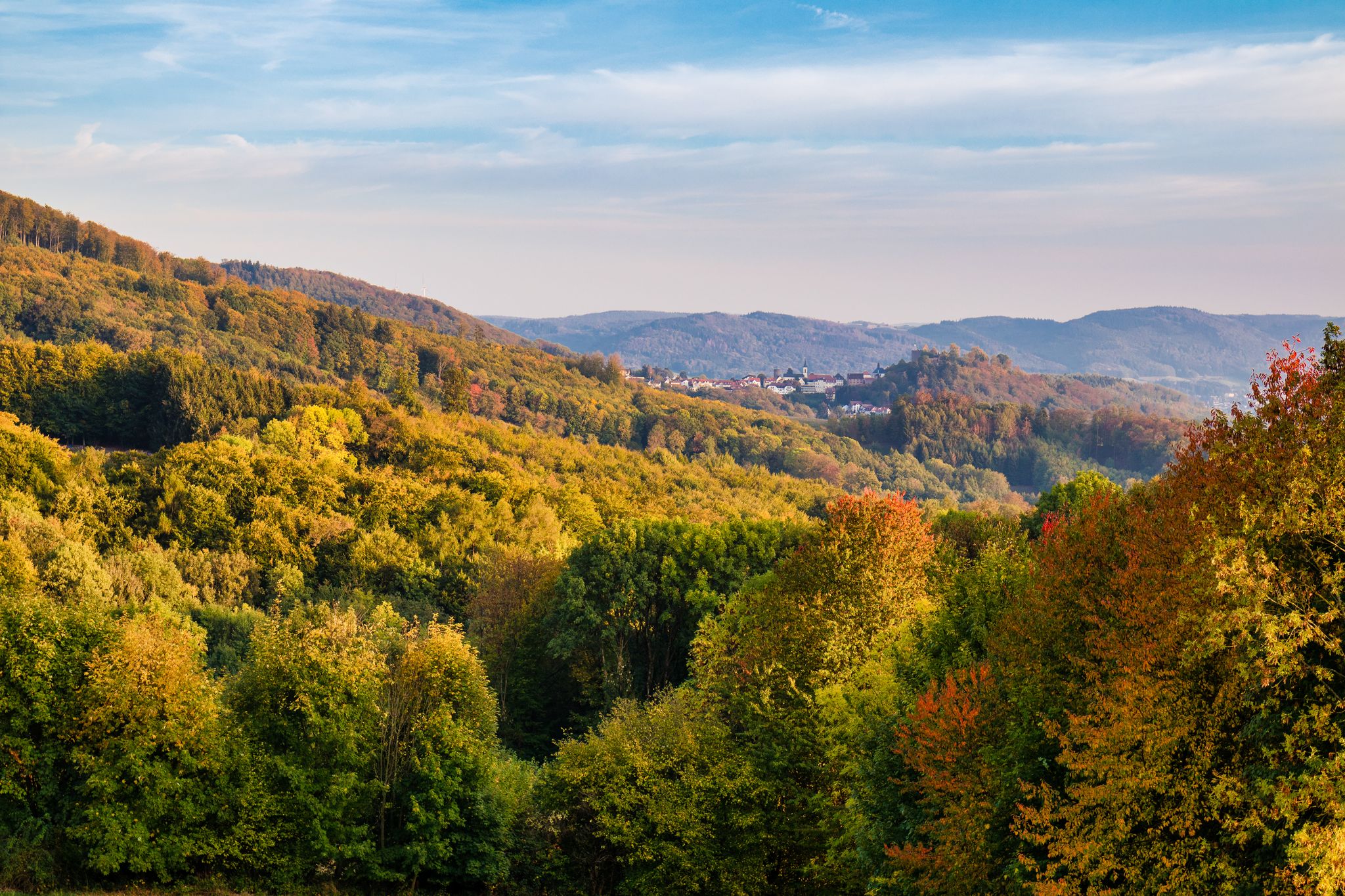
Wine, views, and world heritage – hiking in the Odenwald on the Bergstraße
From the River Rhine to the Main – R9 Cycle Route in Hesse
Cycling around Reichelsheim (Odenwald)
Road Cycling Routes around Reichelsheim (Odenwald)
MTB Trails around Reichelsheim (Odenwald)
Running Trails around Reichelsheim (Odenwald)
Other adventures around Reichelsheim (Odenwald)


Tips from the Community

...including a plaque about the Easter villages
0
0

Enormous long-distance view over the Odenwald.
1
0

Don't forget sunscreen before going to sleep 🦀 🦀 🦀
0
0

Here you have a beautiful view of the city. Behind Beerfurth you can see Reichenberg Castle.
1
0

Hike
0
5

A really great path. The hike here is a lot of fun.
2
0
It's just a great place with a fantastic view.
1
0
There are great panoramic views here.
2
0
Frequently Asked Questions
How many hiking trails are available around Reichelsheim (Odenwald)?
There are over 230 hiking routes in the Reichelsheim (Odenwald) area, catering to various preferences and skill levels. These trails traverse the Odenwald and Bergstrasse regions, offering diverse landscapes from dense woodlands to open meadows.
Are there easy hiking trails suitable for beginners or families in Reichelsheim (Odenwald)?
Yes, Reichelsheim (Odenwald) offers a good selection of easier trails. Out of the total routes, 140 are classified as easy, making them suitable for beginners or families looking for a more relaxed outdoor experience.
What kind of natural attractions can I expect to see on hikes in the region?
The region is part of the Odenwald-Bergstrasse Geopark, known for its unique geological formations. You can explore natural monuments such as the Felsenmeer (Sea of Rocks), the Fallbach Waterfall, and the Rimdidim Rock. These sites offer fascinating natural features to discover.
Are there any historical landmarks or points of interest along the hiking routes?
Absolutely. The area features several historical points of interest. You can visit the Ruins of Schnellerts Castle, which is featured on routes like the "View of Beerfurth – Ruins of Schnellerts Castle loop from Ober-Kainsbach." Other notable landmarks include the Roman Giant Column (Riesensäule) at the Felsenmeer and the Emperor's tower on the Neunkircher Höhe.
Are there circular hiking routes available in Reichelsheim (Odenwald)?
Yes, many of the trails in Reichelsheim (Odenwald) are designed as circular routes, allowing you to start and end at the same point. An example is the Stone Pyramid on Hohe Straße – Thieves' Path loop from Spreng, which offers a moderate 12.5 km experience.
What do other hikers say about the trails in Reichelsheim (Odenwald)?
The hiking routes in Reichelsheim (Odenwald) are highly rated by the komoot community, with an average score of 4.7 stars from over 1,600 reviews. Hikers often praise the diverse terrain, the well-maintained paths, and the scenic beauty of the Odenwald low mountain range.
What is the best time of year to go hiking in Reichelsheim (Odenwald)?
The Odenwald offers beautiful hiking opportunities throughout the year. Spring and autumn provide vibrant colors and pleasant temperatures, while summer allows for exploring open meadows and shaded forest paths. Even winter can be appealing for crisp walks through the serene landscape.
Are there any hikes with good viewpoints in the area?
Many trails in Reichelsheim (Odenwald) offer scenic viewpoints. For example, the View of Beerfurth – View of Fränkisch-Crumbach loop from Ober-Kainsbach provides excellent vistas over the surrounding landscape. The region's low mountain ranges naturally lend themselves to expansive views.
Can I find places to eat or drink along the hiking trails?
While specific cafes directly on every trail are not guaranteed, the region offers opportunities to combine hiking with cultural experiences. After a day of exploring, you can find places in nearby villages to enjoy meals in historic buildings, savoring local cuisine and regional wine.
What kind of terrain can I expect on the hiking trails?
The terrain in Reichelsheim (Odenwald) is diverse, characterized by low mountain ranges and deeply carved valleys. You can expect a mix of forested paths, open meadows, and varied geological formations. Trails range from moderate paths to more challenging ascents, offering something for every fitness level.
Is there parking available at the trailheads?
While specific parking details vary by trailhead, most popular hiking areas and starting points in the Odenwald region, including those around Reichelsheim, typically have designated parking facilities for hikers. It's advisable to check individual route descriptions for precise parking information.
Most popular routes around Reichelsheim (Odenwald)
Most popular attractions around Reichelsheim (Odenwald)

Get inspired with the komoot mobile app


Explore more
Browse the best Hikes in other regions.
