The best running trails around Civita Castellana
565
runners
32
runs
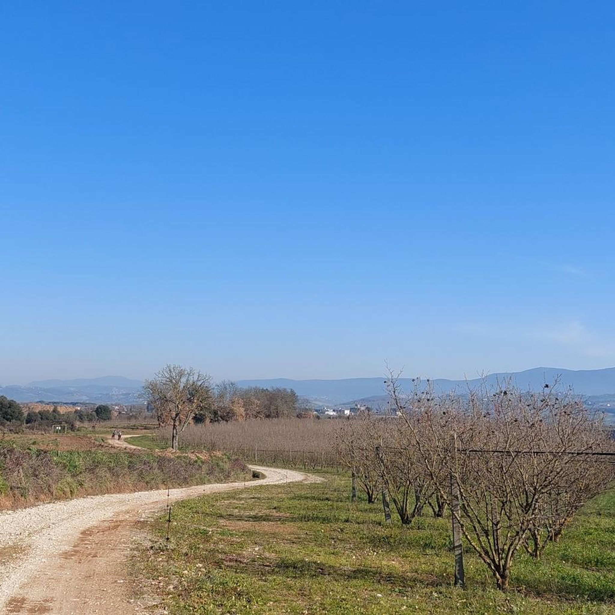
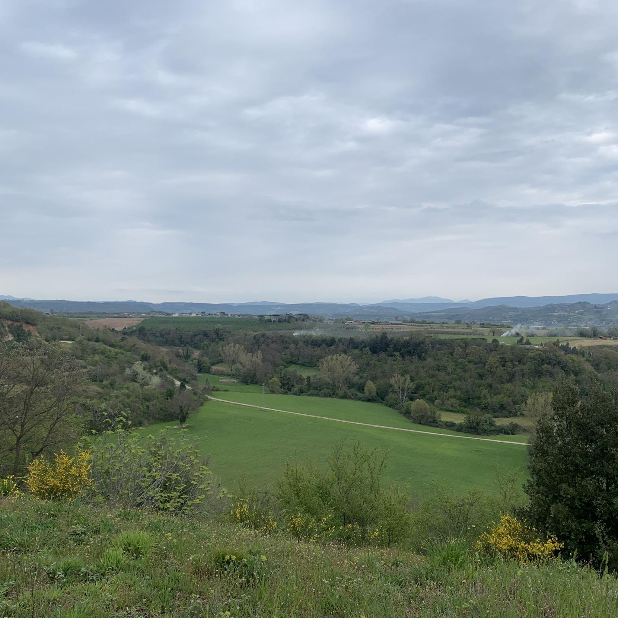
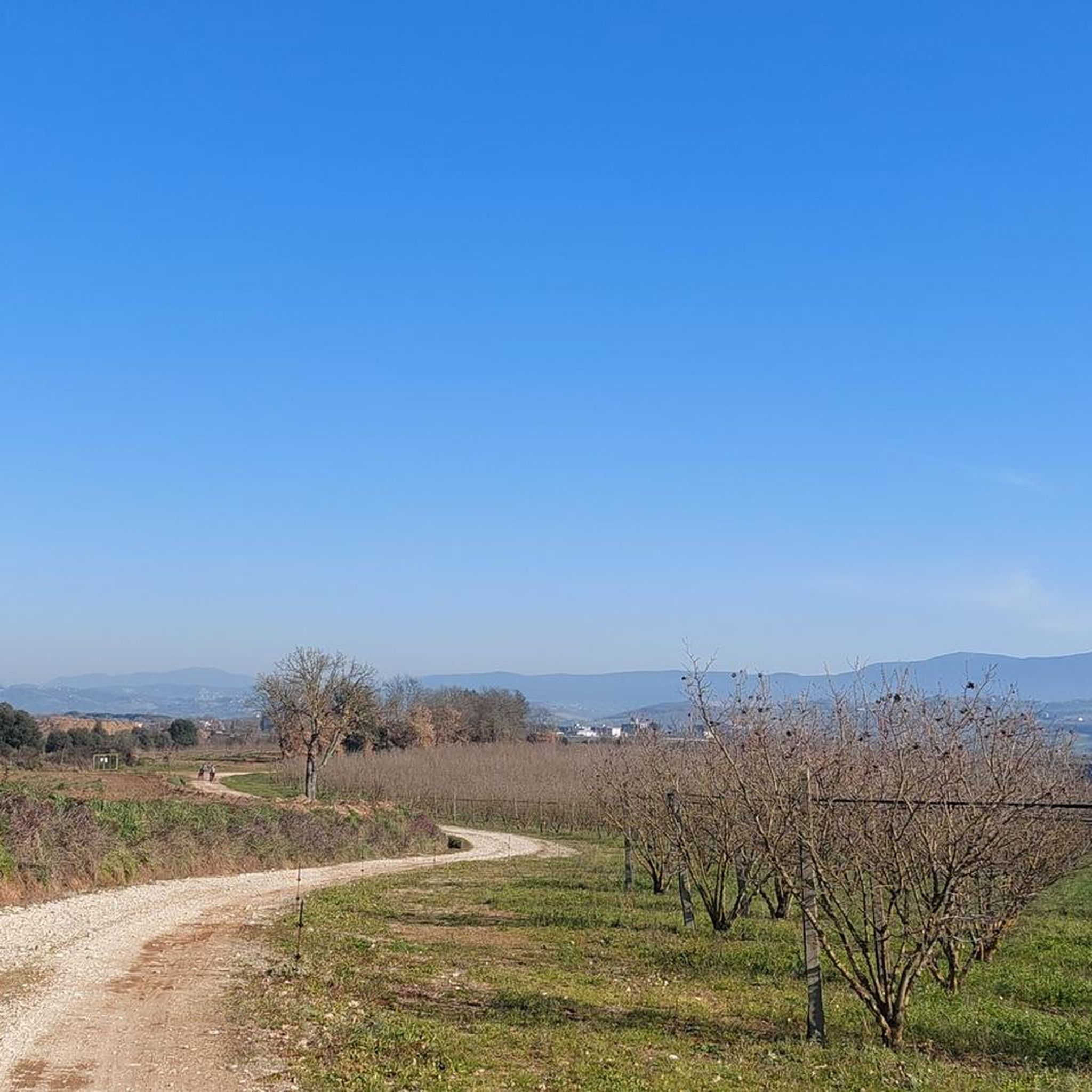
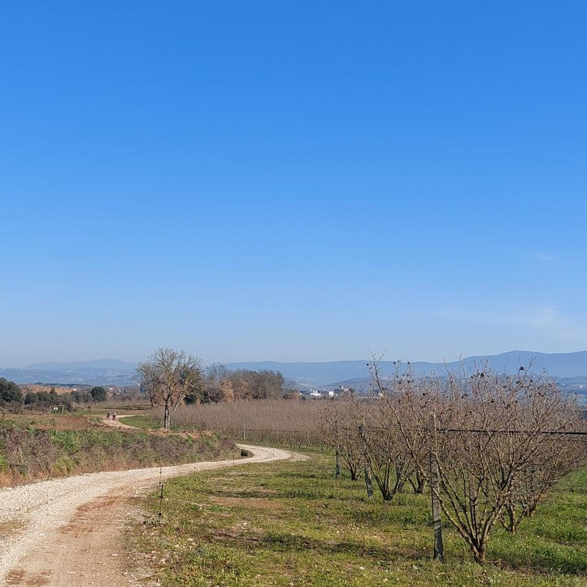
Jogging around Civita Castellana offers diverse running routes set within a unique natural landscape. The town is situated on a tufa spur, providing varied terrain and panoramic views over the Valle del Treja. This area is characterized by dramatic cliffs, river valleys, and historical elements, creating a compelling environment for running. The network of trails includes paths along the Treja River and routes incorporating ancient sites.
Best jogging routes around Civita Castellana
- The most popular jogging route is Forte Sangallo…
Last updated: August 29, 2026
157
runners
23.1km
02:28
310m
310m
Hard run. Very good fitness required. Mostly paved surfaces. Suitable for all skill levels.
17
runners
Hard run. Very good fitness required. Sure-footedness, sturdy shoes and alpine experience required.

Sign up for free
14
runners
5.57km
00:35
30m
30m
Moderate run. Good fitness required. Mostly paved surfaces. Suitable for all skill levels.
9
runners
Hard run. Very good fitness required. Mostly paved surfaces. Suitable for all skill levels.
5
runners
9.38km
00:58
60m
60m
Moderate run. Good fitness required. Mostly paved surfaces. Suitable for all skill levels.
Get access to more routes and recommendations from other explorers.
Sign up for free
Already have an account?
Our route recommendations are based on thousands of hikes, rides, and runs completed by other people on komoot.
Start today with a free account
Your next adventure awaits.
Login or Signup

Tips from the Community

An open-air museum, recommended
0
0

This is one of several tunnels that characterize Mount Soratte. The others are within the bunker system. Although short, it's a good idea to carry a torch to get through it.
2
0

Short panoramic walk with an exhibition of military vehicles.
0
0

On the way to the top of Soratte, just before the San Silvestro hermitage, you can take the path on the left that leads to the small San Sebastiano hermitage, of which modest wall traces remain. The latter was home to hermits in the 16th and 17th centuries, after which it began to be abandoned and fell into ruin. In the rock there is a cavity used to collect water. Short trail but to be followed with care.
0
1

This hermitage has a patronal name that is truly on everyone's lips, but only a few will know the person behind it: the feast day of Saint Sylvester (San Silvestro) is December 31st. He lived at the end of the third or beginning of the fourth century and was Bishop of Rome when Emperor Constantine - later generations gave him the nickname "the Great" - recognized Christianity as a religion with the so-called "Edict of Toleration" of Milan, thus ending - at least temporarily - the period of bloody persecution of Christians.
1
2

Cycle and pedestrian tunnel near the Soratte Bunker.
0
0

The Eremo di San Silvestro, located at the top of Mount Soratte, offers a stunning panoramic view of the surrounding valleys. This hermitage, one of the numerous hermitages scattered in the Sabina region, stands in a clearing overlooking the beautiful Tiber Valley. Its isolated location far from the town of Sant'Oreste gives it a suggestive atmosphere.
4
0

Climb up Mount Soratte with a concrete surface.
1
0
Frequently Asked Questions
How many running routes are available around Civita Castellana?
There are over 30 running routes available around Civita Castellana, offering a variety of distances and difficulty levels for joggers of all abilities.
Are there easy running paths suitable for beginners or families in Civita Castellana?
Yes, while many routes have elevation changes, there are moderate paths suitable for beginners or families. For example, the Tagliata fantibassi – Mola de Biscotto loop from Civita Castellana is a moderate 6.1-mile (9.9 km) trail that leads through the scenic Valle del Treja.
What kind of scenery can I expect on jogging routes in Civita Castellana?
Jogging routes in Civita Castellana offer diverse and dramatic scenery. You'll experience breathtaking views over the Valle del Treja, dramatic tufa cliffs, river valleys, and historical elements like ancient bridges and ruins. Many routes provide 'panorami mozzafiato' (breathtaking views) from various viewpoints.
Are there any historical sites or landmarks I can see while running?
Absolutely! The region is rich in history. You can incorporate historical sites into your runs, such as the ancient Roman settlement of Falerii Novi, which features intact triangular walls and gateways. The Rocca dei Borgia, a Renaissance fortress, also offers stunning views and can be a focal point during your run. You might also encounter highlights like the Ocriculum Archaeological Park or the Vie Cave of Corchiano.
Are the running trails in Civita Castellana dog-friendly?
While specific regulations for dogs on every trail vary, generally, many outdoor paths in the Civita Castellana area are accessible for dogs, especially those in natural settings like the Valle del Treja. It's always recommended to keep dogs on a leash and clean up after them to respect the environment and other users.
What is the best time of year to go running in Civita Castellana?
Civita Castellana offers good running conditions for much of the year. Spring and autumn provide pleasant temperatures and vibrant scenery. Summer can be warm, so early morning or late afternoon runs are advisable. Winter running is possible, but some trails might be muddy after rain, especially in the river valleys.
Are there circular running routes available?
Yes, many of the running routes around Civita Castellana are designed as loops. Examples include the popular Forte Sangallo loop from Civita Castellana and the View of Monte Soratte loop from Civita Castellana, allowing you to start and finish in the same location.
What are the typical distances and elevation gains for running routes in this area?
Running routes vary significantly. You can find shorter, moderate paths around 3-6 miles (5-10 km) with modest elevation gains, suitable for most fitness levels. More challenging routes, like the Monte Soratte Bunker – Hermitage of Santa Lucia loop from Mount Soratte, can extend over 7.5 miles (12 km) with substantial elevation gains of around 1300 feet (400 meters), requiring good fitness.
What do other runners say about the jogging experience in Civita Castellana?
The running routes in Civita Castellana are highly rated by the komoot community, with an average score of 5.0 stars. Runners often praise the unique natural landscapes, the dramatic tufa spur geology, and the integration of historical sites that make each run visually rewarding and engaging.
Are there any natural monuments or unique geological features to explore while running?
The region is known for its unique tufa spur geology, which creates dramatic cliffs and river-carved formations. You can explore natural monuments such as the Nazzano Tevere-Farfa Nature Reserve or the Meri del Soratte Karst Sinkholes, adding an extra layer of discovery to your running adventures.
Is public transport available to access the running trails?
Civita Castellana is accessible by public transport, and some routes start directly from the town center, making them convenient to reach. For routes further afield, checking local bus schedules or considering a short taxi ride might be necessary to reach specific trailheads.
Are there parking facilities near the trailheads?
Yes, many running routes, especially those starting from Civita Castellana itself or other nearby towns, have designated parking areas. It's advisable to check the specific route details on komoot for information on parking availability at the trailhead.
Most popular routes around Civita Castellana
Most popular attractions around Civita Castellana

Get inspired with the komoot mobile app


Explore more
Browse the best Running Trails & Routes in other regions.
