The best walks and hikes around Pietranico
4.3
(116)
578
hikers
33
hikes
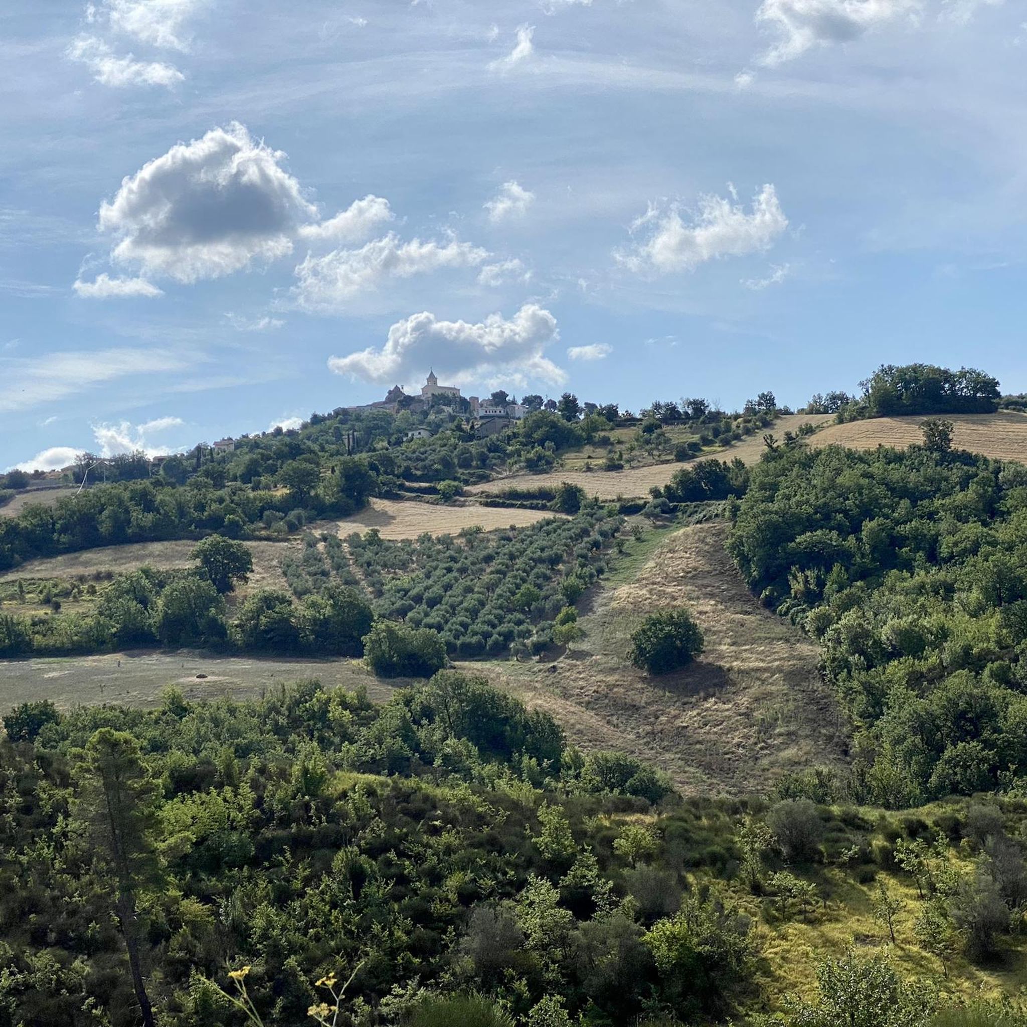
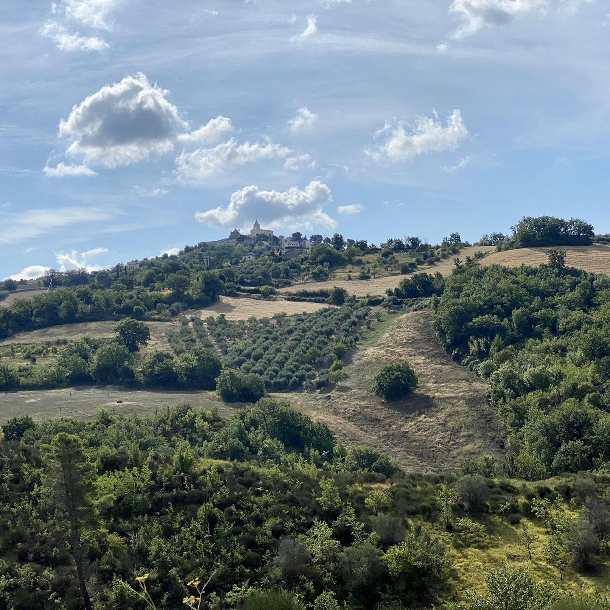
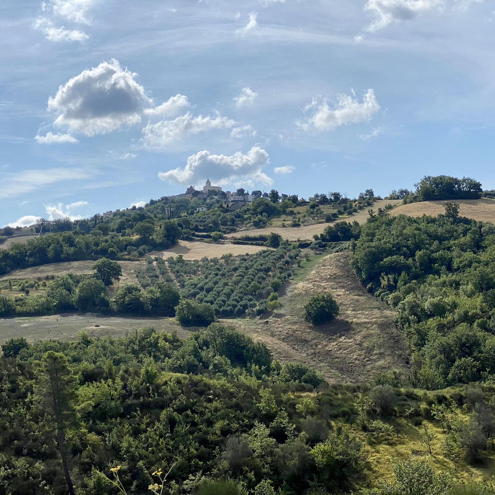
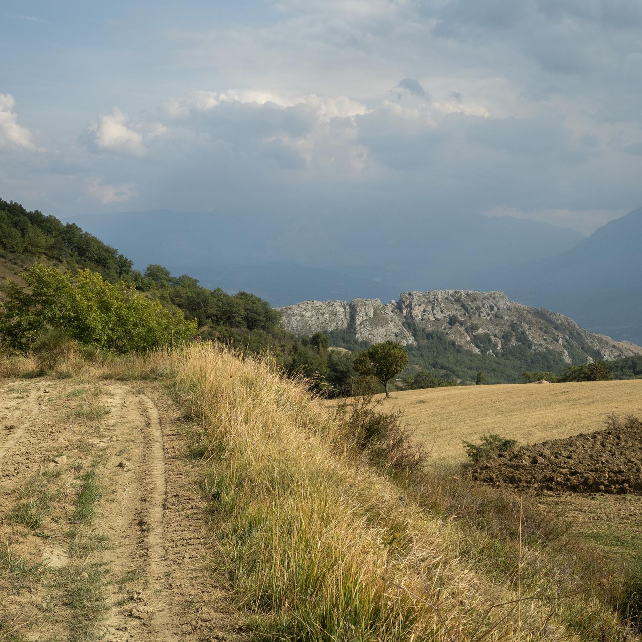
Hiking around Pietranico offers access to the diverse terrain of Italy's Abruzzo region, characterized by rolling countryside, vineyards, and olive groves. The area features varied topography, from gentle paths to more rugged mountainous sections, including proximity to the Gran Sasso National Park. Geological features like gorges and unique rock formations contribute to the landscape. These Pietranico hiking trails terrain elevation difficulty provide a range of experiences for outdoor enthusiasts.
Best hiking trails around Pietranico
- The most popular hiking route is…
Last updated: May 25, 2026
15.1km
05:18
860m
860m
Hard hike. Very good fitness required. Easily-accessible paths. Suitable for all skill levels.
4.6
(7)
22
hikers
7.29km
02:22
340m
340m
Moderate hike. Good fitness required. Easily-accessible paths. Suitable for all skill levels.

Sign up for free
3.5
(2)
18
hikers
8.31km
02:11
70m
70m
Moderate hike. Good fitness required. Easily-accessible paths. Suitable for all skill levels.
4.7
(3)
17
hikers
20.1km
09:01
1,390m
1,390m
Hard hike. Very good fitness required. Mostly accessible paths. Sure-footedness required.
4.3
(4)
14
hikers
10.2km
03:00
270m
270m
Moderate hike. Good fitness required. Easily-accessible paths. Suitable for all skill levels.
Get access to more routes and recommendations from other explorers.
Sign up for free
Already have an account?
Our route recommendations are based on thousands of hikes, rides, and runs completed by other people on komoot.
Start today with a free account
Your next adventure awaits.
Login or Signup
Tips from the Community


This is a little-known protected area. The characteristic feature is the sulphurous waters of the Lavino river, which are of an intense turquoise colour. Right at the entrance to the park there is an area equipped with tables and a play area.
2
0

Monte Cappucciata is one of the peaks that make up the Gran Sasso massif, located in the Gran Sasso and Monti della Laga National Park.
0
0

Bussi sul Tirino is a municipality located at an altitude of 344 metres. It has an interesting history that begins in the Italian era. Today it is possible to see the parish church of San Biagio and San Nicola di Bari of Baroque style, various other interesting churches and the Lombard tower.
2
0
From this point, almost 600 meters high, it is possible to see the Maiella massif (weather permitting), and Castiglione a Casauria.
2
0
Monte Rotondo, with its 1,731 meters of altitude, is part of the Morrone mountain group. From here you have a beautiful point of view on the Maiella and on the hinterland of Abruzzo.
2
0
Monte Cappucciata offers a beautiful panorama, and is located at 1800 meters high. The panorama includes the Gran Sasso massif, the Sirente-Velino and La Majella.
2
0

Frequently Asked Questions
What types of hiking trails can I expect around Pietranico?
Pietranico offers a diverse range of hiking experiences, from rolling countryside adorned with vineyards and olive groves to more rugged mountainous sections. You'll find paths suitable for various skill levels, including moderate loops and more challenging long-distance routes. The region's varied topography, including proximity to the Gran Sasso National Park, provides a rich natural backdrop for your adventures.
Are there any circular hiking routes near Pietranico?
Yes, there are several excellent circular routes. A popular choice is the Mount Cappucciata – Monte Cappucciata loop from Cannatina, a moderate 4.5-mile path offering scenic views. Another option is the Hiking loop from Scafa, which is about 5 miles long and takes you through the local countryside.
What natural landmarks or viewpoints can I discover on hikes around Pietranico?
The area around Pietranico is rich in natural beauty. You can explore impressive geological features like the Orta Gorge, which is part of the View of the Orta Gorge – Scura Cave loop. Hikers can also find stunning panoramic viewpoints, such as those offering views of the Abruzzo Apennines (View of the Abruzzo Apennines) and the Amphitheater of mountains (Amphitheater of mountains). The picturesque Lake Capodacqua is also a notable natural gem in the vicinity.
Are there any challenging hikes for experienced trekkers?
Absolutely. For those seeking a more demanding experience, routes like From Roccatagliata to Bussi sul Tirino offer a difficult 9.4-mile journey with significant elevation changes. Another challenging option is the Fonte Luigi – Monte Rotondo Summit loop from Tocco da Casauria, which is over 12 miles long and involves substantial ascent to Monte Rotondo Summit.
What is the best time of year to go hiking in Pietranico?
The Abruzzo region, where Pietranico is located, offers pleasant hiking conditions for much of the year. Spring and autumn are generally ideal, with mild temperatures and vibrant landscapes. Summer can also be suitable, especially for higher altitude trails, though it's wise to start early to avoid the midday heat. Winter hiking is possible, particularly on lower elevation paths, but requires appropriate gear and checking local conditions.
What do other hikers say about the trails around Pietranico?
The hiking routes in Pietranico are highly regarded by the komoot community, with an average rating of 4.3 stars from over 100 reviews. Hikers often praise the varied terrain, from tranquil countryside to more rugged mountain paths, and the stunning natural beauty of the Abruzzo region.
Are there any family-friendly hiking options in Pietranico?
While specific family-designated trails are not detailed, the region's diverse offerings include easier paths and moderate loops that could be suitable for families. Look for routes with lower elevation gains and shorter distances, particularly those exploring the rolling countryside and olive groves, which provide a gentler experience.
Can I bring my dog on the hiking trails in Pietranico?
Many trails in the Abruzzo region are dog-friendly, but it's always recommended to keep your dog on a leash, especially in protected areas or near livestock. Be mindful of local regulations and ensure your dog is well-behaved and can handle the terrain. Always carry water for your pet, especially during warmer months.
Where can I find parking for trailheads around Pietranico?
Parking availability varies by trailhead. For routes starting directly from villages or towns like Pietranico, Roccatagliata, or Tocco da Casauria, you can often find public parking areas. For more remote trailheads, roadside parking might be available, but it's advisable to check specific route details or local signage for designated parking spots before your hike.
Are there any historical or cultural sites to see while hiking near Pietranico?
Pietranico itself boasts a rich history, with its ancient town center and the Church of San Giovanni Battista offering cultural insights. The region also features unique historical elements like ancient 'Palmenti' (wine-making rock tanks). While hiking, you'll often pass through agricultural landscapes with vineyards and olive groves, connecting you to the area's agrarian heritage.
How many hiking trails are there in total around Pietranico?
There are over 25 hiking trails available for exploration around Pietranico, offering a wide variety of distances, difficulties, and scenic experiences for every type of hiker.
Are there any easy hiking trails suitable for beginners?
Yes, among the 26 available routes, there are 3 trails classified as easy. These typically feature less elevation gain and shorter distances, making them perfect for beginners or those looking for a relaxed stroll through the picturesque Abruzzo countryside.
Most popular attractions around Pietranico

Get inspired with the komoot mobile app


Explore more
Browse the best Hikes in other regions.
