The best walks and hikes around Casacanditella
4.4
(354)
1,595
hikers
63
hikes
Hiking around Casacanditella offers diverse terrain in the Abruzzo region of Italy. The area features a mix of hilly landscapes, river valleys, and historical points of interest. Trails often lead through wooded areas and past natural features like waterfalls. The elevation changes provide varied hiking experiences across the region.
Best hiking trails around Casacanditella
- The most popular hiking route is Hermit's Cave – Pretoro loop from Pretoro, a 7.7 miles (12.4 km) trail that takes 4 hours 25 minutes…
Last updated: July 5, 2026
4.0
(2)
10
hikers
12.4km
04:25
630m
630m
Moderate hike. Good fitness required. Mostly accessible paths. Sure-footedness required.
4.2
(5)
17
hikers
10.5km
03:18
410m
410m
Moderate hike. Good fitness required. Easily-accessible paths. Suitable for all skill levels.

Sign up for free
3.8
(4)
21
hikers
7.40km
02:18
290m
290m
Moderate hike. Good fitness required. Easily-accessible paths. Suitable for all skill levels.
6
hikers
18.6km
06:00
820m
820m
Hard hike. Very good fitness required. Easily-accessible paths. Suitable for all skill levels.
4.0
(2)
8
hikers
17.7km
05:54
740m
740m
Hard hike. Very good fitness required. Mostly accessible paths. Sure-footedness required.
Get access to more routes and recommendations from other explorers.
Sign up for free
Already have an account?
Our route recommendations are based on thousands of hikes, rides, and runs completed by other people on komoot.
Start today with a free account
Your next adventure awaits.
Login or Signup
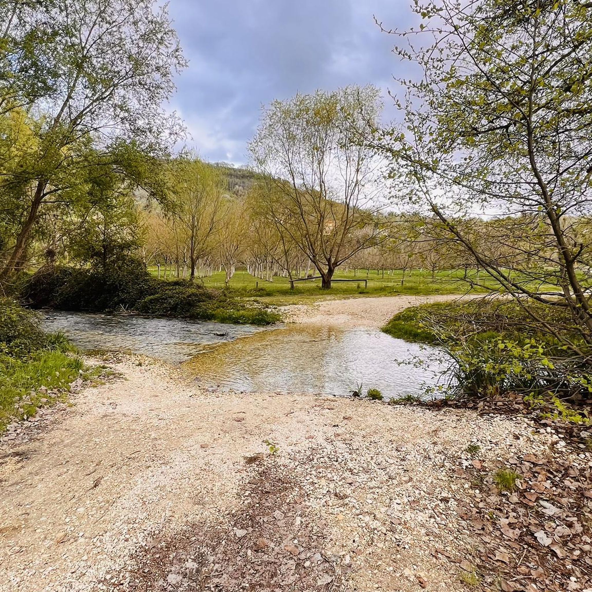
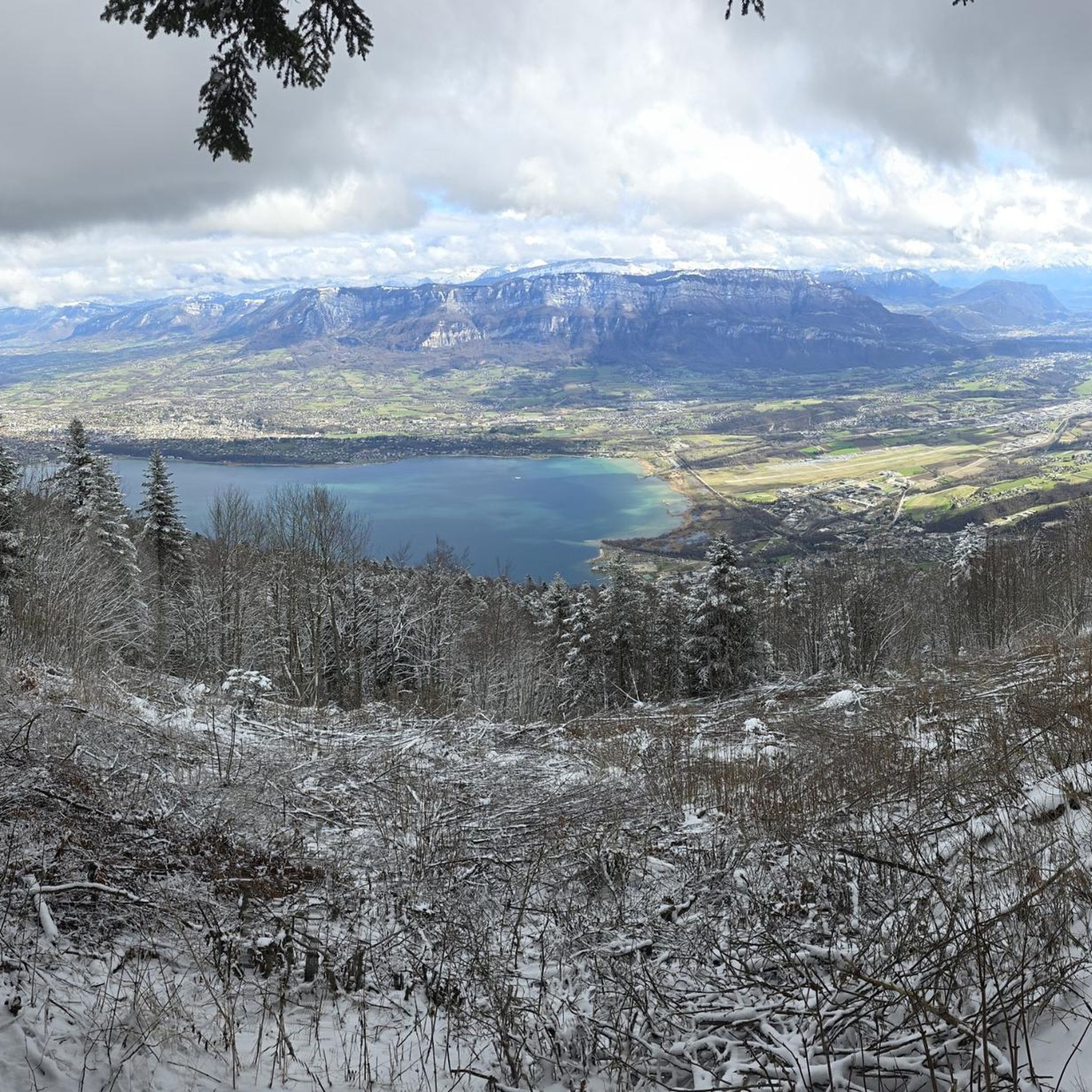
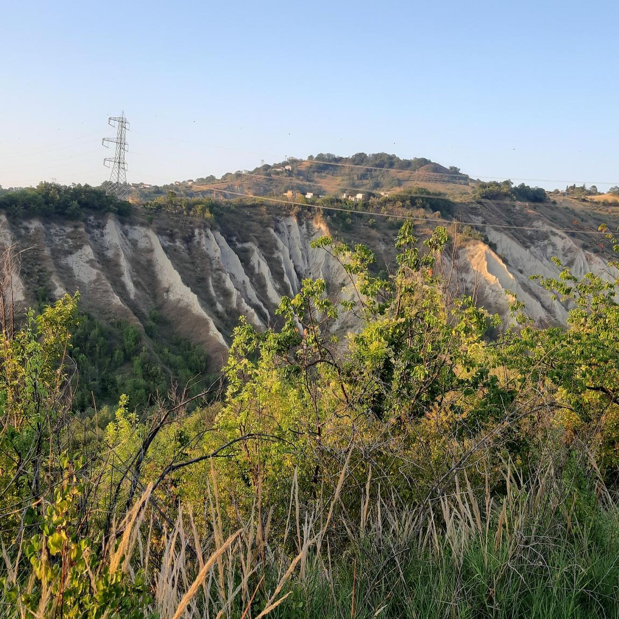
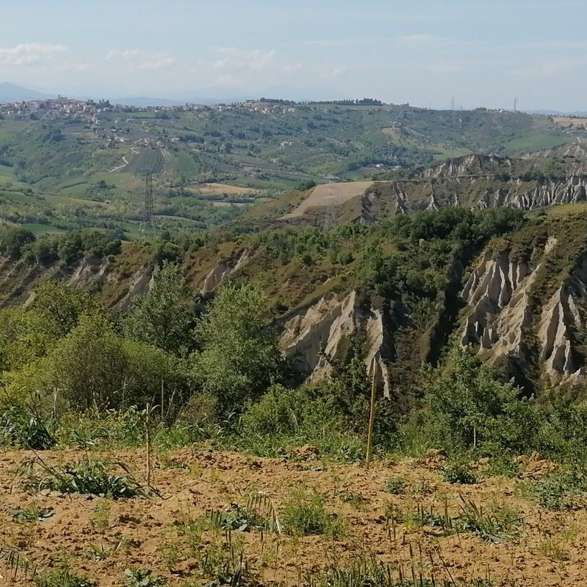
Tips from the Community

A full immersion in the wild Vesola Valley. The trail ascends through centuries-old beech trees, yew trees, and holly, offering spectacular views of the San Giovanni Waterfall, one of the highest in the Maiella. Keep your eyes peeled: squirrels leap among the branches, and near the water you might spot the rare spectacled salamander or the small carnivorous plant, the Pinguicola. The grand finale? The view from the Civita Plain, where your gaze sweeps from the woods to the Adriatic Sea. ⚠️ Technical note: Short steep sections uphill and downhill require a minimum of caution.
0
0

The tower overlooks the valley through which the Alento River flows. Half intact (and the other half collapsed), it's certainly a landmark for a beautiful hike and a view that sweeps across these lands.
0
0

Just read who Bafile was and understand how this is a place full of meaning, history, a place that excites
0
0


The hike is tough at times but the forest offers many emotions!
0
0

the place is magnificent and if you remain silent, you can hear the river flowing through the valley.
0
0


the san giovanni waterfalls are wonderful but the path to get there is simple and fun, suitable for practically everyone
0
0
Frequently Asked Questions
How many hiking trails are available around Casacanditella?
There are over 60 hiking routes in the Casacanditella area, offering a diverse range of experiences from easy strolls to more challenging treks. The region features varied terrain including hilly landscapes, river valleys, and historical points of interest.
Are there easy hiking trails suitable for beginners in Casacanditella?
Yes, Casacanditella offers 16 easy hiking routes perfect for beginners or those looking for a relaxed walk. These trails often lead through wooded areas and past natural features without significant elevation changes. One example is the Guardiagrele – Santa Maria Maggiore Church loop from Guardiagrele, which is a moderate 8.3 km path.
Can I find challenging hikes in the Casacanditella area?
For experienced hikers seeking a challenge, there are 11 difficult routes around Casacanditella. These trails often feature significant elevation gains and longer distances. A notable challenging route is the Torre di Polegra – Alento River Waterfalls loop from Roccamontepiano, which is 11.2 km long with considerable ascent.
Are there any hikes with waterfalls near Casacanditella?
Yes, the Casacanditella area is known for its river valleys and waterfalls. You can explore routes that lead past beautiful cascades, such as the Torre di Polegra – Alento River Waterfalls loop from Roccamontepiano. Other notable waterfalls in the region include San Giovanni Waterfall and the Alento River Waterfalls.
What kind of natural attractions can I see along the hiking trails?
Beyond waterfalls, the region offers diverse natural attractions. You might encounter caves like Grotta dei Pulcini or explore parts of the Majella Orientale Nature Reserve. The trails often wind through wooded areas, providing opportunities to experience the local flora and fauna.
Are there any historical landmarks or points of interest along the routes?
Many trails in the Casacanditella area pass by historical sites. For instance, the Hermit's Cave – Pretoro loop from Pretoro explores an area with a notable cave. You can also find landmarks such as the Torre di Polegra and the Bocca di Valle Memorial.
What do other hikers say about the trails in Casacanditella?
The hiking routes around Casacanditella are highly regarded by the komoot community, with an average rating of 4.3 stars from over 320 reviews. Hikers often praise the varied terrain, the scenic beauty of the river valleys, and the historical points of interest found along the paths.
Are there circular walks available in Casacanditella?
Yes, many of the routes around Casacanditella are designed as circular walks, allowing you to start and end at the same point. Examples include the Pretoro – Cava di Pretoro loop from Pretoro and the Hermit's Cave – Pretoro loop from Pretoro.
What is the best time of year to go hiking in Casacanditella?
The spring and autumn months generally offer the most pleasant hiking conditions in Casacanditella, with mild temperatures and vibrant natural scenery. Summer can be warm, especially in open areas, while winter hiking is possible but may require appropriate gear for cooler temperatures and potentially some snow at higher elevations.
Are the hiking trails in Casacanditella suitable for families?
Many of the easier and moderate trails in Casacanditella are suitable for families, offering enjoyable walks through nature without being overly strenuous. Look for routes with shorter distances and less elevation gain for a comfortable family outing.
Are there any long-distance hiking options in the area?
While many routes are day hikes, some trails offer longer distances for those looking for extended walks. For example, the difficult Pretoro – Asnara Waterfall loop from Pretoro covers over 18 kilometers, providing a substantial trek through the landscape.
What kind of wildlife might I encounter on the trails?
The diverse landscapes of Casacanditella, including wooded areas and river valleys, support various wildlife. Hikers might spot local bird species, small mammals, and insects. The region's natural reserves also contribute to its biodiversity.
Most popular attractions around Casacanditella

Get inspired with the komoot mobile app


Explore more
Browse the best Hikes in other regions.
