The best walks and hikes around Pescorocchiano
4.6
(423)
2,012
hikers
88
hikes
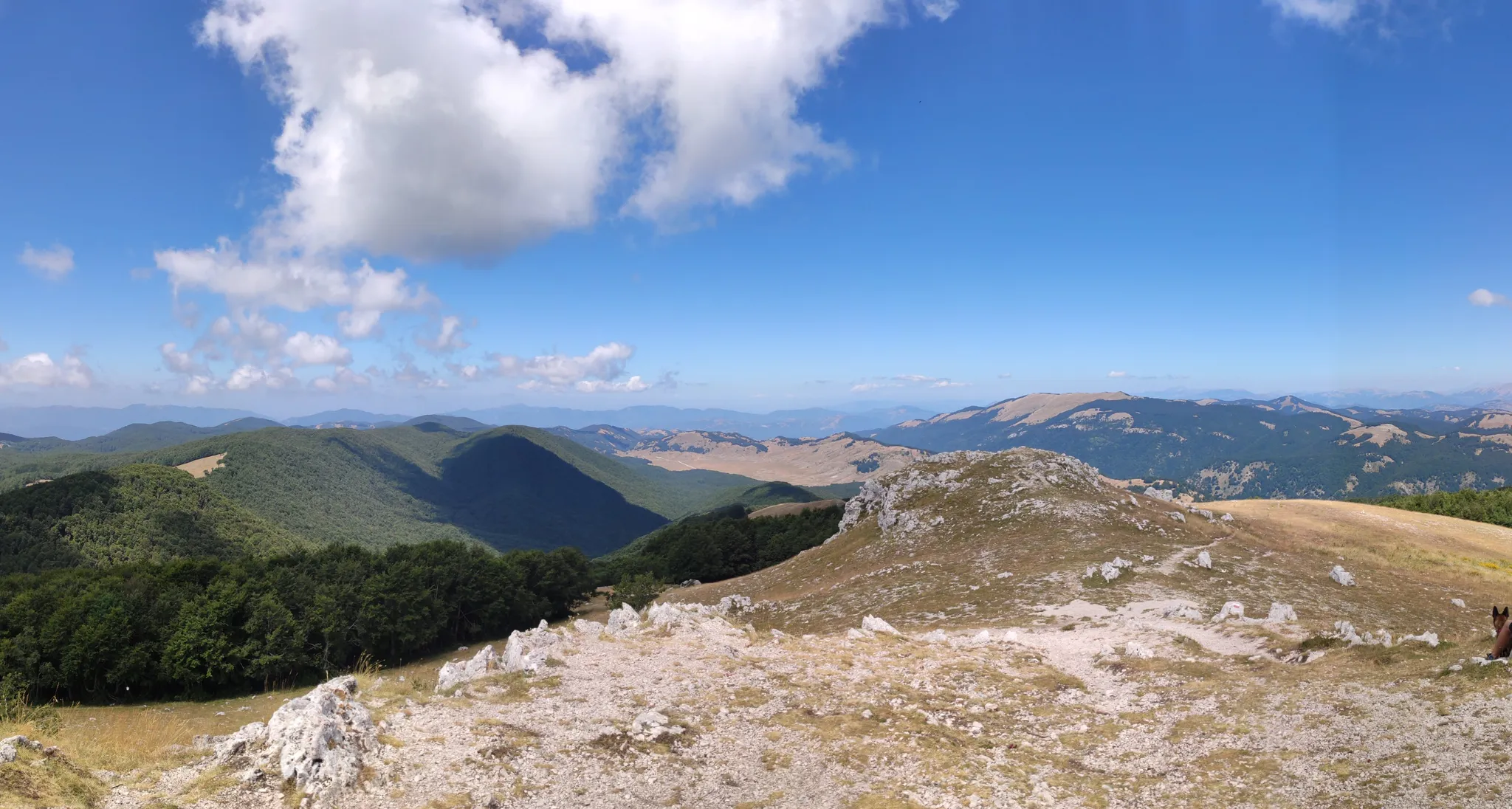
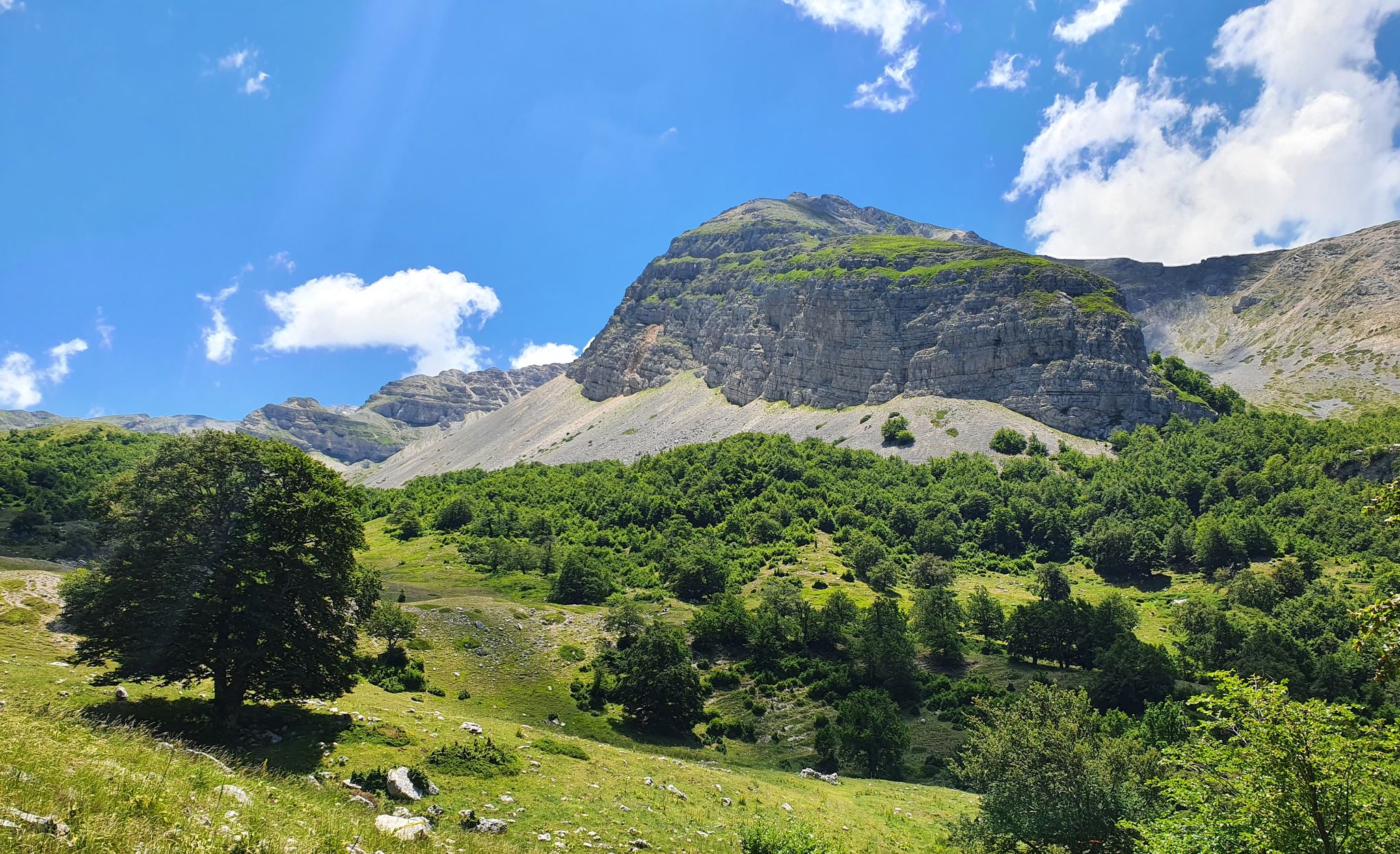
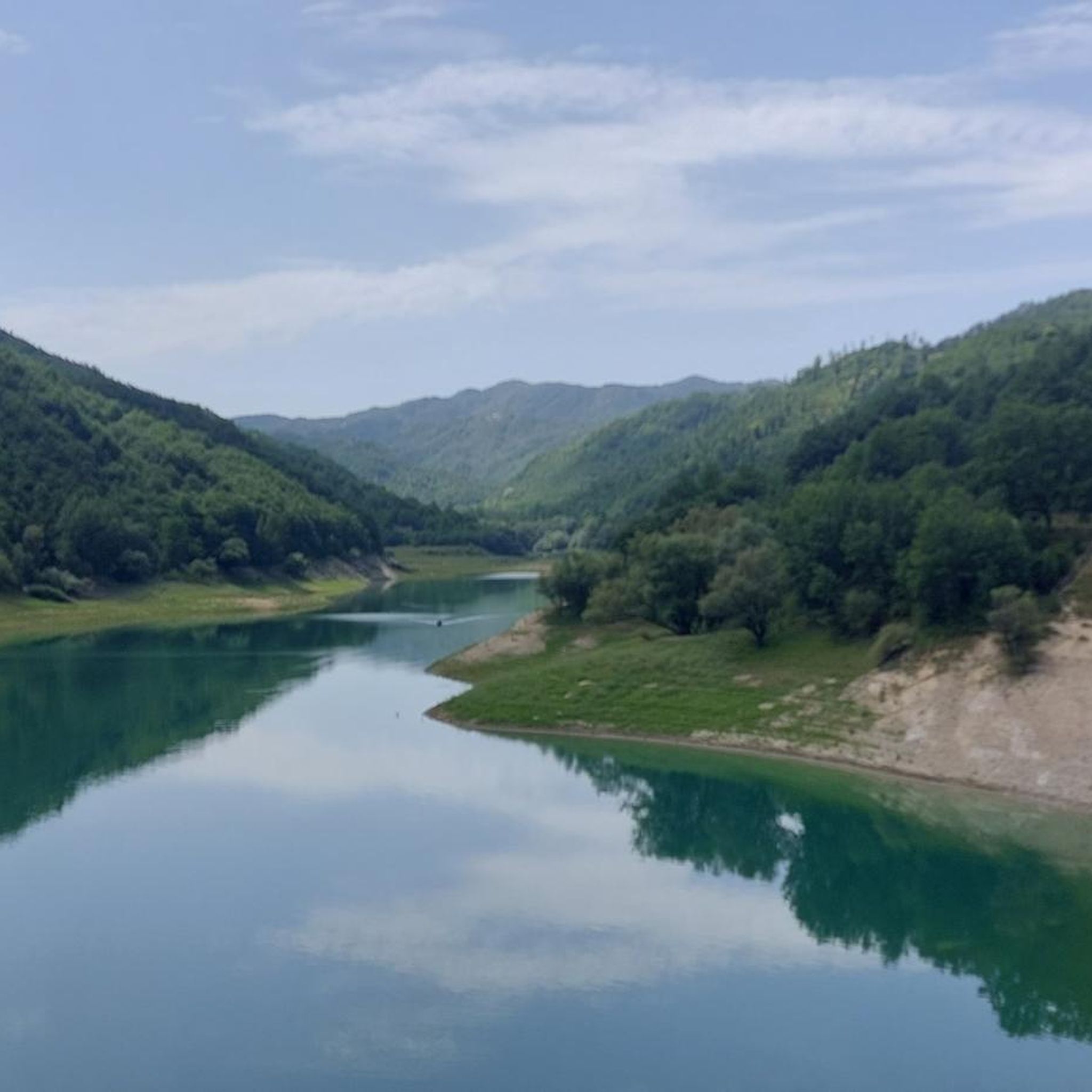
Hiking around Pescorocchiano offers routes through varied terrain, characterized by mountainous landscapes, forested slopes, and views of Lake Turano. The region features several prominent peaks and crests, providing diverse elevation changes for hikers. Trails often lead through natural areas with a mix of open vistas and wooded sections.
Best hiking trails around Pescorocchiano
- The most popular hiking route is Monte Navegna Summit Cross – View of Lake Turano loop from Varco Sabino, an 8.0 miles (12.9 km) trail that…
Last updated: July 5, 2026
4.5
(13)
29
hikers
Moderate hike. Good fitness required. Mostly accessible paths. Sure-footedness required.
4.8
(12)
50
hikers
10.8km
03:50
610m
610m
Moderate hike. Good fitness required. Easily-accessible paths. Suitable for all skill levels.

Sign up for free
4.3
(7)
35
hikers
11.8km
04:02
620m
620m
Moderate hike. Good fitness required. Easily-accessible paths. Suitable for all skill levels.
4.1
(11)
60
hikers
6.65km
02:52
420m
420m
Hard hike. Good fitness required. Sure-footedness, sturdy shoes and alpine experience required.
5.0
(3)
14
hikers
Moderate hike. Good fitness required. Easily-accessible paths. Suitable for all skill levels.
Get access to more routes and recommendations from other explorers.
Sign up for free
Already have an account?
Our route recommendations are based on thousands of hikes, rides, and runs completed by other people on komoot.
Start today with a free account
Your next adventure awaits.
Login or Signup
Popular around Pescorocchiano
Cammino Naturale dei Parchi – Part 2 Livata to Corvaro
Cammino dei Briganti – hike in the footsteps of Marsica and Cicolano rebels in Italy
MTB the border between Lazio and Abruzzo – Cammino dei Briganti
Running Trails around Pescorocchiano
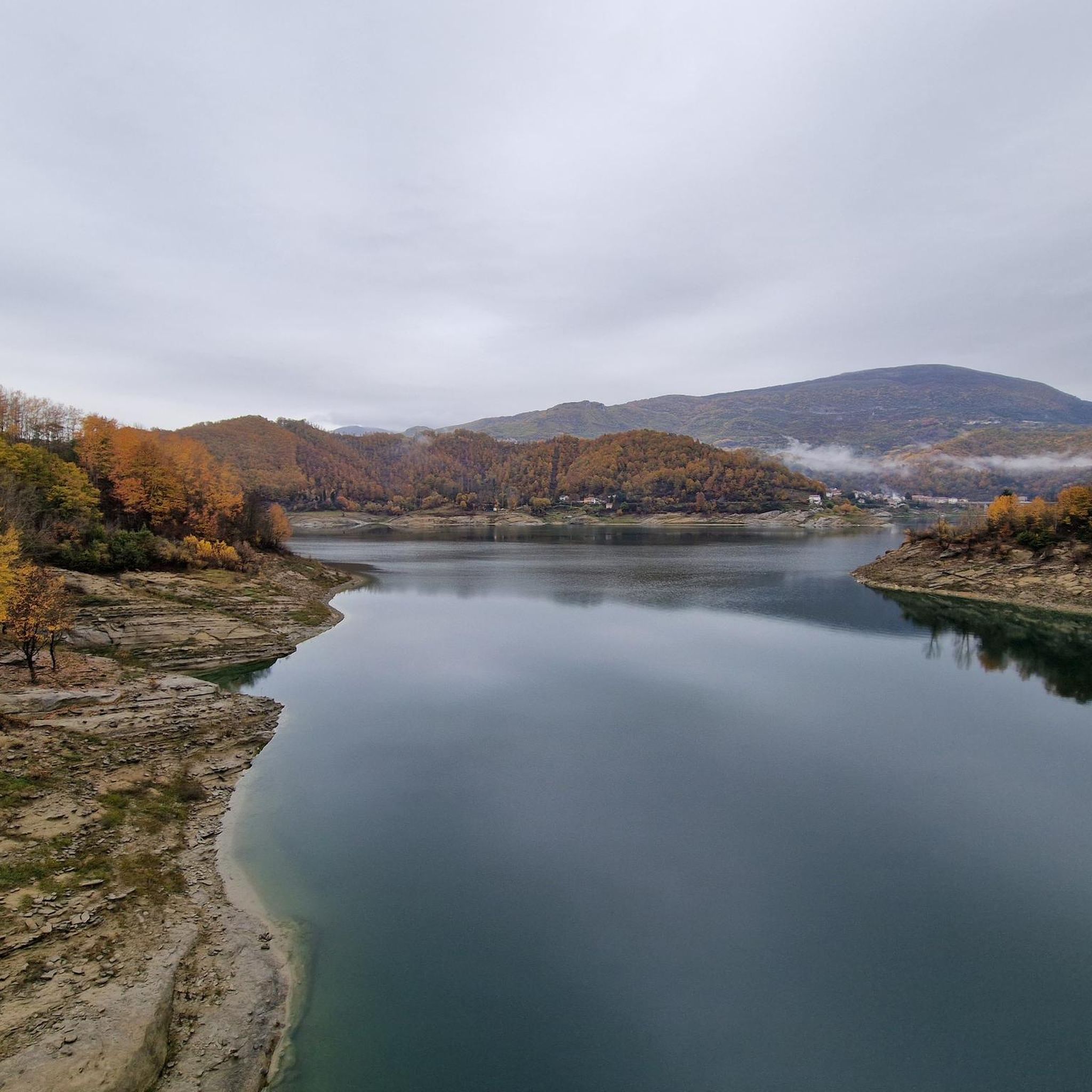
Road Cycling Routes around Pescorocchiano
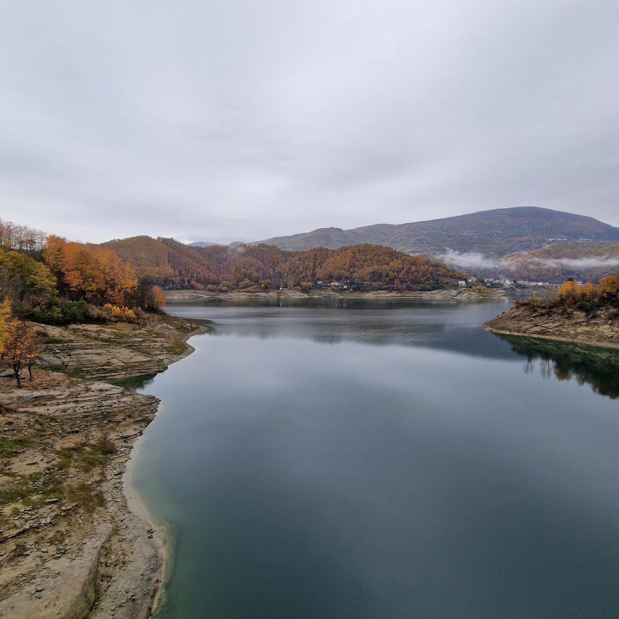
Cycling around Pescorocchiano
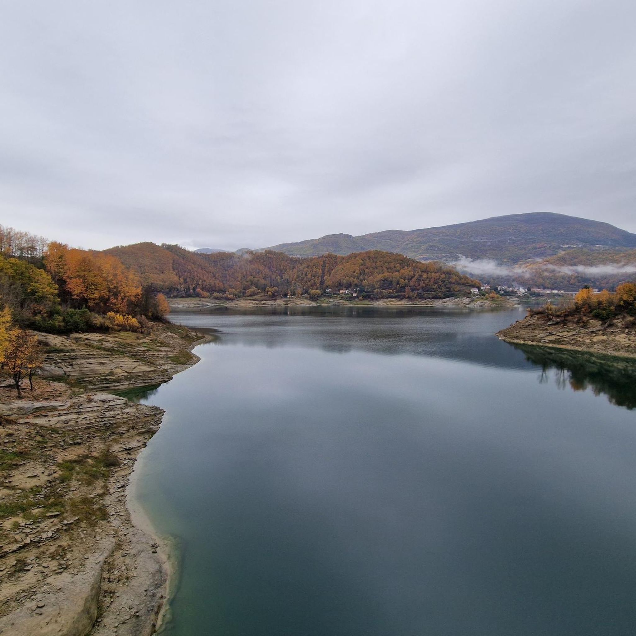
MTB Trails around Pescorocchiano
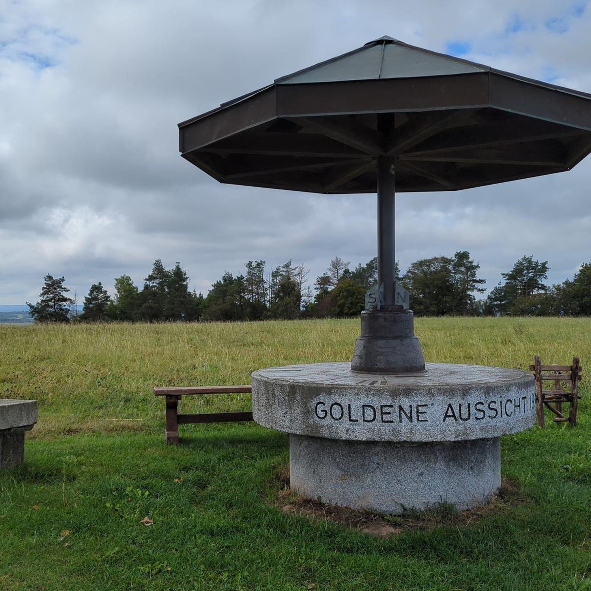
Gravel biking around Pescorocchiano
Other adventures around Pescorocchiano


Tips from the Community

View of Lake Salto
0
0

Beautiful, steep and challenging path but the view of Castel di Tora and the lake repays the effort, highly recommended
0
0
A nice hike, but the view of the two lakes of Turano and Salto is priceless.
0
0
Very well signposted, impossible to go wrong. There is a large car park nearby and a fountain where you can quench your thirst
0
1
From the top of Navegna it is possible to observe both Lake Turano and Lake Salto at the same time
0
0

One of the few sources that is not dry, in this period of severe drought in Abruzzo
0
0
A beautiful bouldering area in the middle of the woods, with several marked walls
0
0

Frequently Asked Questions
How many hiking trails are available in Pescorocchiano?
Pescorocchiano offers a wide variety of hiking experiences, with over 70 routes available. These range from easy strolls to more challenging mountain ascents, catering to different skill levels.
Are there easy hiking trails in Pescorocchiano, and how long do they typically take?
Yes, Pescorocchiano has 8 easy hiking trails. These routes are generally shorter and have less elevation gain, making them suitable for a relaxed outing. While specific durations vary, easy hikes often take between 1 to 3 hours to complete, depending on the route and your pace.
What is the best time of year to go hiking in Pescorocchiano?
The most pleasant times for hiking in Pescorocchiano are typically spring (April-June) and autumn (September-October). During these seasons, the weather is mild, and the landscapes are particularly beautiful. Summer can be hot, especially at lower elevations, while winter may bring snow to higher peaks, requiring appropriate gear.
What are the conditions like for winter hiking in Pescorocchiano?
Winter hiking in Pescorocchiano can be beautiful, especially with snow-covered landscapes. However, conditions can be challenging, particularly on higher trails where snow and ice may be present. It's advisable to check local weather forecasts, be prepared with appropriate winter hiking gear, and consider routes at lower elevations if you're not experienced with snow hiking.
Which hikes offer the best scenic viewpoints in Pescorocchiano?
Many trails in Pescorocchiano boast stunning views, especially those reaching higher elevations. For panoramic vistas, consider the Monte Navegna Summit Cross – View of Lake Turano loop from Varco Sabino, which offers expansive views of Lake Turano. Another excellent option is the Monte La Serra Summit – Crest of Monte La Serra loop from Fiamignano, providing impressive views from the Monte La Serra Summit.
Are there any interesting landmarks or attractions to see along the hiking trails?
Yes, the region around Pescorocchiano features several notable landmarks. You can encounter structures like the Salto Dam and the Posticciola Dam, as well as the historic Ponte Vecchio of Posticciola. The San Rocco Chapel at Lake Turano is another charming sight, and the Lake Turano itself is a prominent natural feature.
Are there family-friendly hiking options in Pescorocchiano?
Pescorocchiano offers several easy trails that are suitable for families. These routes typically have gentler gradients and shorter distances, making them enjoyable for all ages. Look for trails classified as 'easy' for the most family-friendly experiences.
Can I bring my dog on hikes in Pescorocchiano?
Generally, dogs are welcome on hiking trails in Pescorocchiano. However, it is always recommended to keep your dog on a leash, especially in areas with wildlife or near livestock, and to clean up after them. Always check for specific signage or local regulations that might apply to certain protected areas.
Are there circular hiking routes available in Pescorocchiano?
Yes, many of the hiking routes in Pescorocchiano are circular, allowing you to start and end at the same point without needing to retrace your steps. Examples include the Monte Navegna Summit Cross – View of Lake Turano loop from Varco Sabino and the Crest of Monte La Serra – Monte La Serra Summit loop from Piagge.
What do other hikers enjoy most about hiking in Pescorocchiano?
The hiking trails in Pescorocchiano are highly rated by the komoot community, with an average score of 4.6 stars from over 300 reviews. Hikers frequently praise the region's diverse terrain, which includes mountainous landscapes, forested slopes, and the stunning views of Lake Turano. The variety of routes, from moderate to difficult, also contributes to its popularity.
Are there any challenging hikes for experienced trekkers in Pescorocchiano?
Yes, Pescorocchiano offers 30 difficult hiking routes for those seeking a greater challenge. These trails typically feature significant elevation gains, longer distances, and more rugged terrain. An example of a challenging route is the Vena Maggiore summit cairn – Monte Cervia loop from Collegiove, which involves substantial ascent.
Is public transport available to access hiking trailheads in Pescorocchiano?
Public transport options directly to all trailheads in Pescorocchiano may be limited, as is common in more rural, mountainous regions. It's advisable to check local bus schedules for connections to the main villages or starting points. For greater flexibility, traveling by car is often recommended, as it allows easier access to various trailheads.
Where can I find parking for hiking trails in Pescorocchiano?
Parking is generally available in or near the villages that serve as starting points for hikes, such as Varco Sabino, Fiamignano, Piagge, or Collegiove. Look for designated parking areas or roadside parking where permitted. It's always a good idea to arrive early, especially on weekends, to secure a spot.
Most popular routes around Pescorocchiano
Most popular attractions around Pescorocchiano

Get inspired with the komoot mobile app


Explore more
Browse the best Hikes in other regions.
