The best walks and hikes around San Martino Sulla Marrucina
4.5
(623)
3,004
hikers
55
hikes
Hiking around San Martino Sulla Marrucina offers diverse terrain, characterized by the foothills of the Majella Mountains, river valleys, and forested areas. The landscape features natural waterfalls and varied elevation changes, providing a range of experiences for outdoor enthusiasts. This region in Abruzzo presents opportunities to explore both natural beauty and historical points of interest.
Best hiking trails around San Martino Sulla Marrucina
- The most popular hiking route is San Giovanni Waterfall – View of the Majella Mountains loop from Comino, a 4.7 miles (7.6 km) trail that takes 3 hours to complete, offering views of the Majella Mountains.
- Another top favourite among local hikers is San Giovanni Waterfall – San Giovanni Waterfalls loop from Comino, a moderate 4.4 miles (7.1 km) path. This route leads directly to the San Giovanni Waterfalls, providing a scenic experience.
- Local hikers also love the Hermit's Cave – Pretoro loop from Pretoro, a 7.7 miles (12.4 km) trail leading through varied terrain, often completed in about 4 hours 25 minutes.
- Hiking around San Martino Sulla Marrucina is defined by mountain views, waterfalls, and forested valleys. The network offers options for easy hikes, moderate excursions, and more challenging routes, catering to different ability levels.
- The routes in San Martino Sulla Marrucina are highly rated by the komoot community with an average score of 4.5 stars from over 600 reviews. More than 2900 hikers have used komoot to explore San Martino Sulla Marrucina's varied terrain.
Last updated: May 24, 2026
4.6
(82)
329
hikers
7.68km
03:00
500m
500m
Moderate hike. Good fitness required. Mostly accessible paths. Sure-footedness required.
4.7
(31)
195
hikers
7.18km
02:39
450m
450m
Moderate hike. Good fitness required. Mostly accessible paths. Sure-footedness required.

Sign up for free
4.0
(2)
10
hikers
12.4km
04:25
630m
630m
Moderate hike. Good fitness required. Mostly accessible paths. Sure-footedness required.
4.2
(5)
16
hikers
10.5km
03:18
410m
410m
Moderate hike. Good fitness required. Easily-accessible paths. Suitable for all skill levels.
4.5
(2)
17
hikers
15.5km
06:19
1,230m
1,230m
Hard hike. Very good fitness required. Easily-accessible paths. Suitable for all skill levels.
Get access to more routes and recommendations from other explorers.
Sign up for free
Already have an account?
Our route recommendations are based on thousands of hikes, rides, and runs completed by other people on komoot.
Start today with a free account
Your next adventure awaits.
Login or Signup
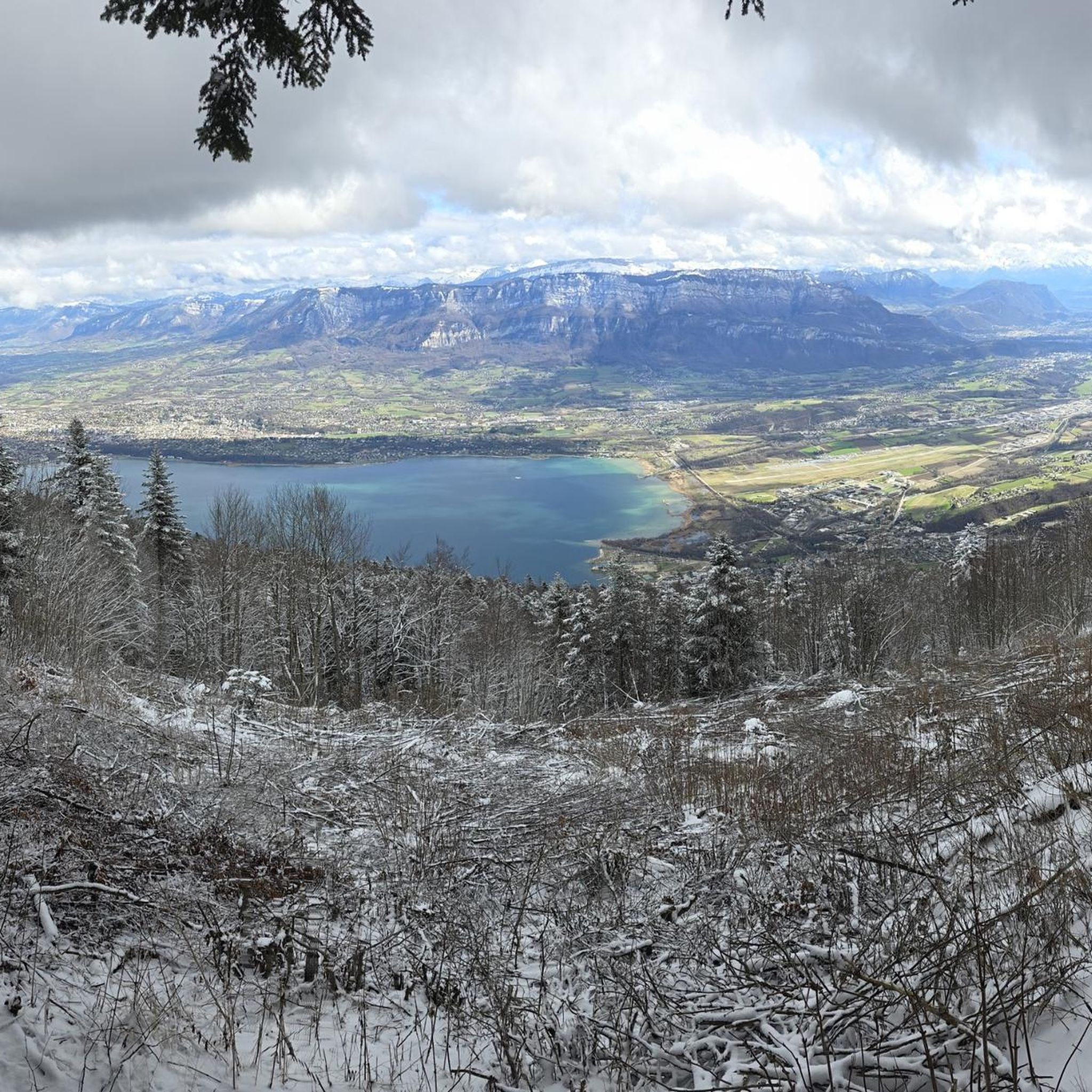
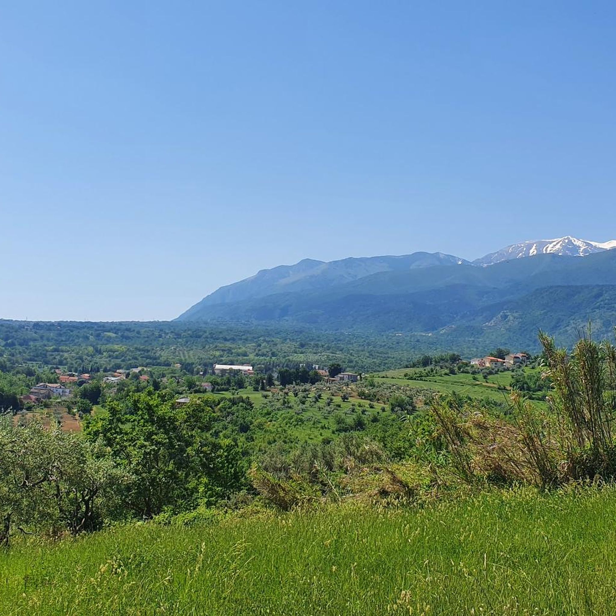
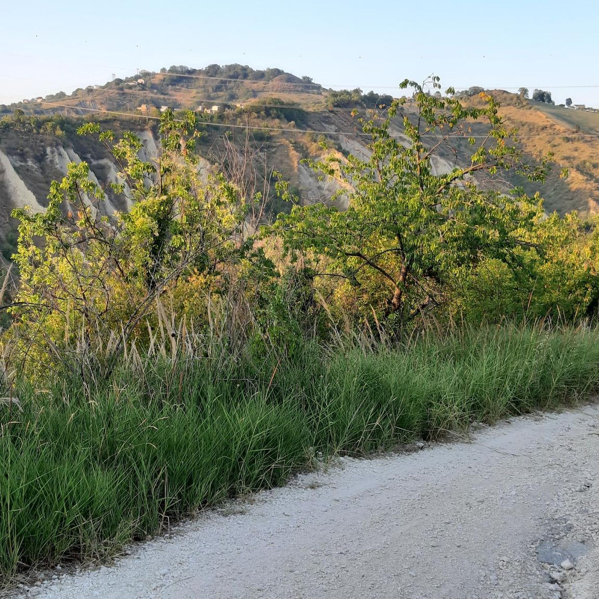
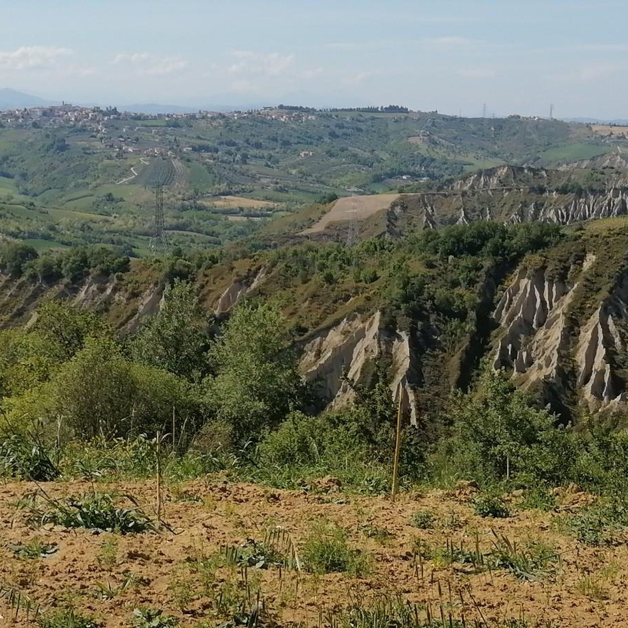
Tips from the Community

A full immersion in the wild Vesola Valley. The trail ascends through centuries-old beech trees, yew trees, and holly, offering spectacular views of the San Giovanni Waterfall, one of the highest in the Maiella. Keep your eyes peeled: squirrels leap among the branches, and near the water you might spot the rare spectacled salamander or the small carnivorous plant, the Pinguicola. The grand finale? The view from the Civita Plain, where your gaze sweeps from the woods to the Adriatic Sea. ⚠️ Technical note: Short steep sections uphill and downhill require a minimum of caution.
0
0


Just read who Bafile was and understand how this is a place full of meaning, history, a place that excites
0
0


The hike is tough at times but the forest offers many emotions!
0
0


the Pomilio refuge, in addition to being a good restaurant, is also the start of the blockhaus and the path to reach the top of Mount Amaro
0
0
Frequently Asked Questions
How many hiking trails are available around San Martino Sulla Marrucina?
There are over 50 hiking routes in the San Martino Sulla Marrucina area, offering a diverse range of experiences. These include 9 easy trails, 32 moderate options, and 13 more challenging routes, catering to various fitness levels.
Are there any easy, family-friendly hikes in San Martino Sulla Marrucina?
Yes, the region offers several easy trails suitable for families. One excellent option is the Tomb of Andrea Bafile loop from Comino, which is an easy 4.7 km route. These trails often feature gentle terrain and shorter durations, perfect for a leisurely outing.
Where can I find hikes with waterfalls in San Martino Sulla Marrucina?
The San Martino Sulla Marrucina area is known for its beautiful waterfalls. You can explore trails that lead to the San Giovanni Waterfall, the Macarone della Pila Waterfall, and the Alento River Waterfalls. Many routes incorporate these natural attractions into their paths.
Are there any circular hiking routes in the area?
Yes, many of the trails around San Martino Sulla Marrucina are circular, allowing you to start and end at the same point. For example, the Pretoro – Cava di Pretoro loop from Pretoro is a moderate 10.5 km circular hike that takes you through varied terrain.
What is the best time of year to go hiking in San Martino Sulla Marrucina?
The best time for hiking in San Martino Sulla Marrucina is typically from spring to autumn (April to October). During these months, the weather is generally mild and pleasant, with lush greenery in spring and vibrant colors in autumn. Summer offers warmer temperatures, ideal for enjoying the waterfalls.
Are dogs allowed on the hiking trails?
Generally, dogs are welcome on most hiking trails in the San Martino Sulla Marrucina region, especially if kept on a leash. It's always advisable to check local regulations or specific trail signs, particularly in protected areas, to ensure compliance. Remember to bring water for your dog and clean up after them.
Are there any challenging or advanced hiking routes?
Yes, for experienced hikers, there are 13 difficult routes available. These trails typically feature significant elevation changes and longer distances, often leading to higher viewpoints in the Majella foothills. Always check the route details for elevation gain and technical difficulty before setting out.
What kind of views can I expect on hikes around San Martino Sulla Marrucina?
Hikers can expect diverse and scenic views. Many trails offer panoramic vistas of the Majella Mountains, especially from higher elevations. You'll also encounter picturesque river valleys, dense forested areas, and the captivating natural beauty of waterfalls like the San Giovanni Waterfall.
What do other hikers say about the trails in San Martino Sulla Marrucina?
The hiking trails in San Martino Sulla Marrucina are highly regarded by the komoot community, holding an average rating of 4.5 stars from over 600 reviews. Hikers frequently praise the region's natural beauty, the variety of terrain, and the well-maintained paths that lead to stunning waterfalls and mountain views.
Are there any historical or cultural points of interest along the trails?
Yes, the region combines natural beauty with historical significance. Some routes may pass by or offer views of historical sites. For example, the Hermit's Cave – Pretoro loop from Pretoro leads through varied terrain that hints at the area's past, and the Bocca di Valle Memorial is a notable man-made monument in the vicinity.
What should I wear for hiking in San Martino Sulla Marrucina?
Given the varied terrain and potential for elevation changes, it's recommended to wear sturdy hiking boots with good ankle support. Layered clothing is advisable, as weather conditions can change, especially in the foothills of the Majella Mountains. Don't forget sun protection, a hat, and plenty of water.
Are there any specific parking facilities at trailheads?
While specific parking facilities vary by trailhead, many popular starting points for hikes around San Martino Sulla Marrucina, especially in villages like Comino or Pretoro, offer designated parking areas. It's always a good idea to check the route description on komoot for details on parking availability for your chosen trail.
Most popular routes around San Martino Sulla Marrucina
Most popular attractions around San Martino Sulla Marrucina

Get inspired with the komoot mobile app


Explore more
Browse the best Hikes in other regions.
