The best walks and hikes around Rechtmehring
4.6
(45)
157
hikers
23
hikes
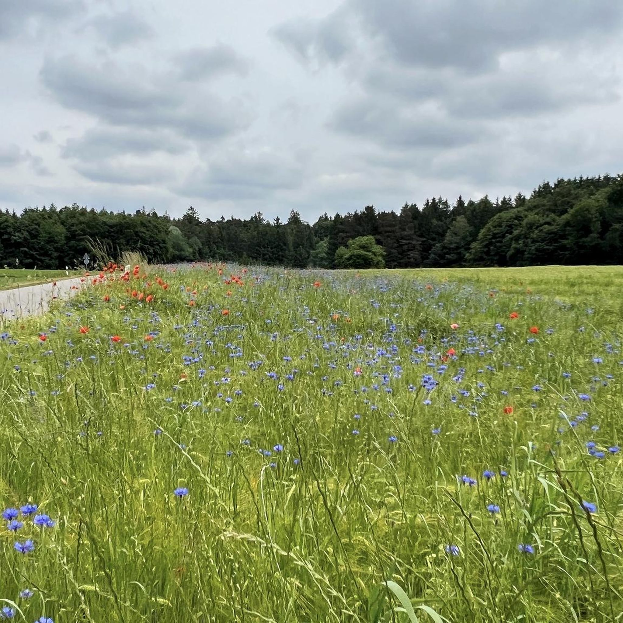
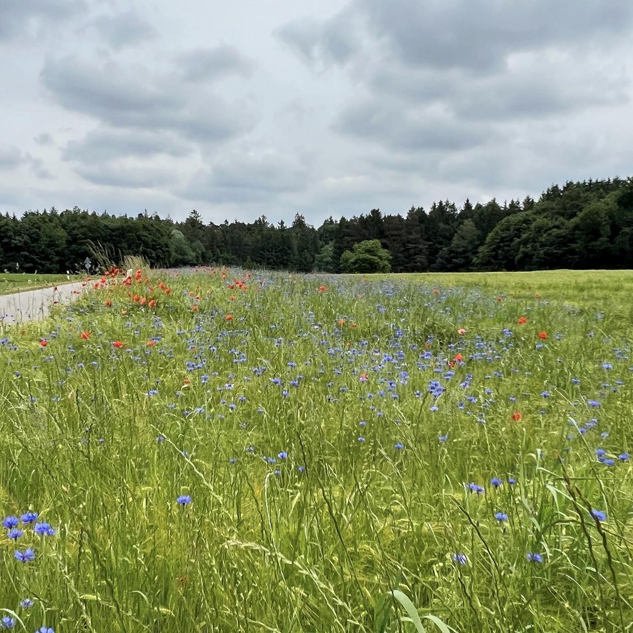
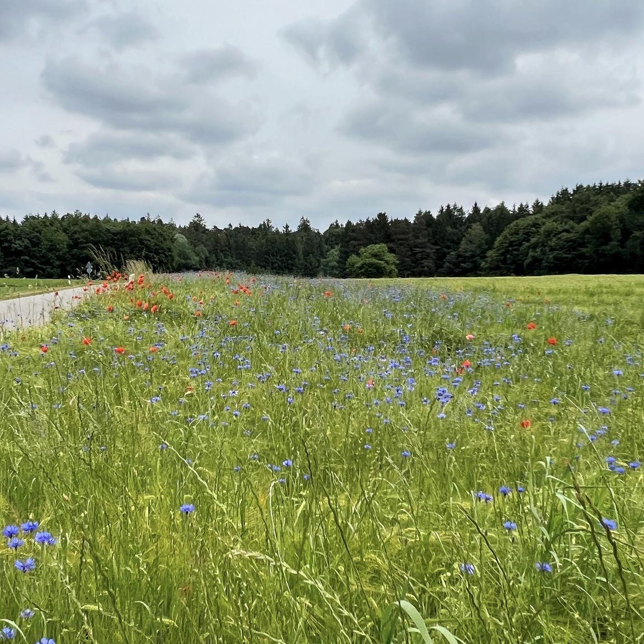
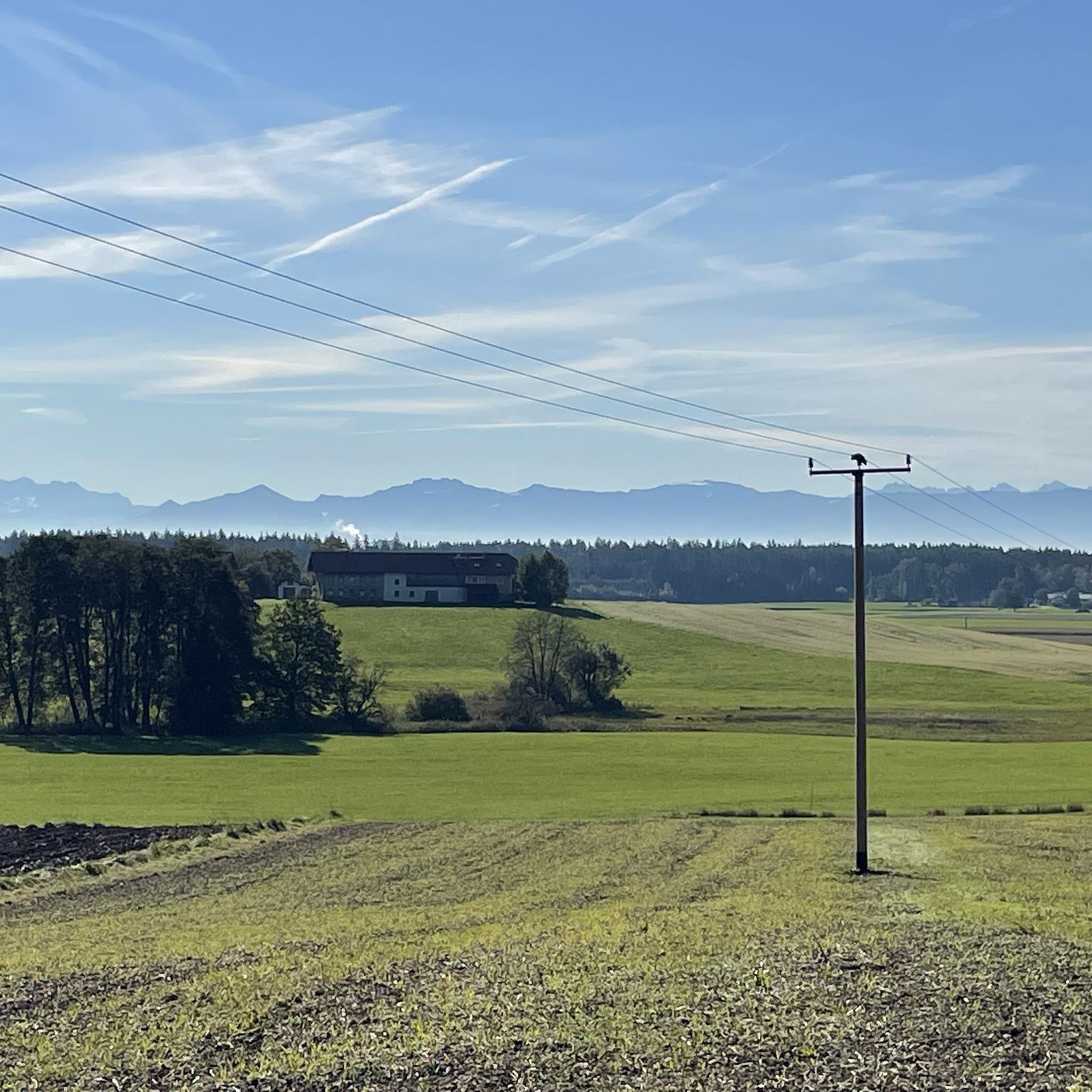
Hiking around Rechtmehring offers a network of trails through a gently undulating landscape. The region is characterized by rural paths, open fields, and small forested sections. Hikers can experience views towards the Alps from certain vantage points, with modest elevation changes across the routes. The terrain is generally accessible, providing opportunities for various outdoor activities.
Best hiking trails around Rechtmehring
- The most popular hiking route is Draxmühle loop from Maitenbeth Verwg., a 3.8 miles (6.2 km) trail that takes…
Last updated: October 1, 2026
5.0
(3)
10
hikers
6.19km
01:38
50m
50m
Easy hike. Great for any fitness level. Easily-accessible paths. Suitable for all skill levels.
5.0
(3)
11
hikers
Easy hike. Great for any fitness level. Easily-accessible paths. Suitable for all skill levels.

5.0
(2)
29
hikers
11.0km
02:56
120m
120m
Moderate hike. Good fitness required. Easily-accessible paths. Suitable for all skill levels.
3.0
(1)
14
hikers
6.12km
01:36
50m
50m
Easy hike. Great for any fitness level. Easily-accessible paths. Suitable for all skill levels.
4.0
(1)
11
hikers
Easy hike. Great for any fitness level. Easily-accessible paths. Suitable for all skill levels.
Get access to more routes and recommendations from other explorers.
Already have an account?
Our route recommendations are based on thousands of hikes, rides, and runs completed by other people on komoot.
Start today with a free account
Your next adventure awaits.

Tips from the Community

Beautiful inn, excellent cuisine, friendly service
0
0

Information about the monument: https://www.wikidata.org/wiki/Q41285180
0
0

Really nice market place where a small farmers market takes place every Friday
1
0
The Jäger dairy is the oldest private dairy in Germany. In the shop you can buy cheese made in-house and fresh milk for bottling yourself.
1
0

because there are many types of good white beer here
0
0
because it is a beautiful natural pool
0
0
because “honest” organic and best mill products can be purchased here, along with the best advice
2
0

Great outdoor pool and Carmen's Freibadstüberl with a summer kiosk and a great beer garden. Best hospitality with delicacies and many very good types of beer to choose from. Of course also the Unertl wheat beer here from Hague.
2
0
Frequently Asked Questions
How many hiking trails are there in Rechtmehring?
Rechtmehring offers a selection of over 20 hiking trails. These routes traverse a gently undulating landscape, providing options for various outdoor activities.
Are there easy hiking trails suitable for families in Rechtmehring?
Yes, the region is well-suited for family-friendly outings, with 17 easy routes available. An excellent option is the Draxmühle loop from Maitenbeth Verwg., which is 3.8 miles (6.2 km) long and explores the local countryside.
Can I find challenging hikes around Rechtmehring?
While Rechtmehring's terrain is generally accessible with gentle hills, there are 7 moderate trails for those seeking a bit more exertion. There are no difficult trails in this specific area. One moderate option is the Pilgrimage Church Hochhaus – View of the Alps from Kühlsöd loop from Rechtmehring, which covers 6.9 miles (11.0 km) through varied terrain.
Are there circular walks available in Rechtmehring?
Many of the trails around Rechtmehring are designed as circular routes, allowing you to start and end at the same point. For example, the View of the Alps from Kühlsöd – Haag Marketplace loop from Maitenbeth Verwg. is an easy 4.3-mile (6.9 km) circular path offering scenic views.
What kind of natural attractions can I see while hiking near Rechtmehring?
The area around Rechtmehring features several natural attractions. You can explore natural monuments like the Kettle hole or the impressive Ancient Lime (Linden) Tree of Pemmering. There are also various lakes, including Berger Lacke and the Kesselsee Boathouse.
Are the hiking trails in Rechtmehring dog-friendly?
Generally, the rural paths and open fields around Rechtmehring are suitable for dogs. It's always recommended to keep your dog on a leash, especially near livestock or in protected natural areas, and to carry waste bags.
What is the best time of year to go hiking in Rechtmehring?
The hiking season in Rechtmehring typically extends from spring through autumn, when the weather is mild and the landscape is green. Spring brings blooming fields, while autumn offers vibrant foliage. Summer is also pleasant, though it can be warmer.
Are there options for winter hiking in Rechtmehring?
While the region is not known for dedicated winter hiking trails, many of the paths remain accessible in winter, especially after light snowfall. Always check local conditions and wear appropriate footwear for potentially icy or muddy sections.
Where can I find places to eat or drink near the trails?
Rechtmehring and its surrounding villages offer traditional Bavarian guesthouses and pubs where you can enjoy local cuisine and refreshments. Many routes pass through or near these small towns, providing opportunities for a break.
What do other hikers say about the trails in Rechtmehring?
The trails in Rechtmehring are highly rated by the komoot community, with an average score of 4.6 stars from over 30 reviews. Hikers often praise the peaceful rural paths, the distant views of the Alps, and the generally accessible terrain.
Are there any hikes that offer views of the Alps?
Yes, several routes in Rechtmehring provide scenic views towards the Alps from certain vantage points. The View of the Alps from Kühlsöd – Haag Marketplace loop from Maitenbeth Verwg. is specifically highlighted for its Alpine vistas.
Is parking available at the trailheads in Rechtmehring?
Parking is generally available in the villages and at designated starting points for many trails around Rechtmehring. Look for public parking areas in towns like Rechtmehring or Maitenbeth, which often serve as trail access points.
How long are the typical hikes in Rechtmehring?
Hikes in Rechtmehring vary in length, but many are designed for shorter outings. For instance, the Naturbad Haag i. OB – View of the Alps from Kühlsöd loop from Maitenbeth Verwg. is about 3.5 miles (5.6 km), while longer options like the Draxmühle – Pilgrimage Church Hochhaus loop from Rechtmehring cover around 3.8 miles (6.1 km).
Most popular routes around Rechtmehring
Most popular attractions around Rechtmehring

Get inspired with the komoot mobile app


Explore more
Browse the best Hikes in other regions.
