The best walks and hikes around Rechtenstein
4.6
(8712)
35,325
hikers
28
hikes
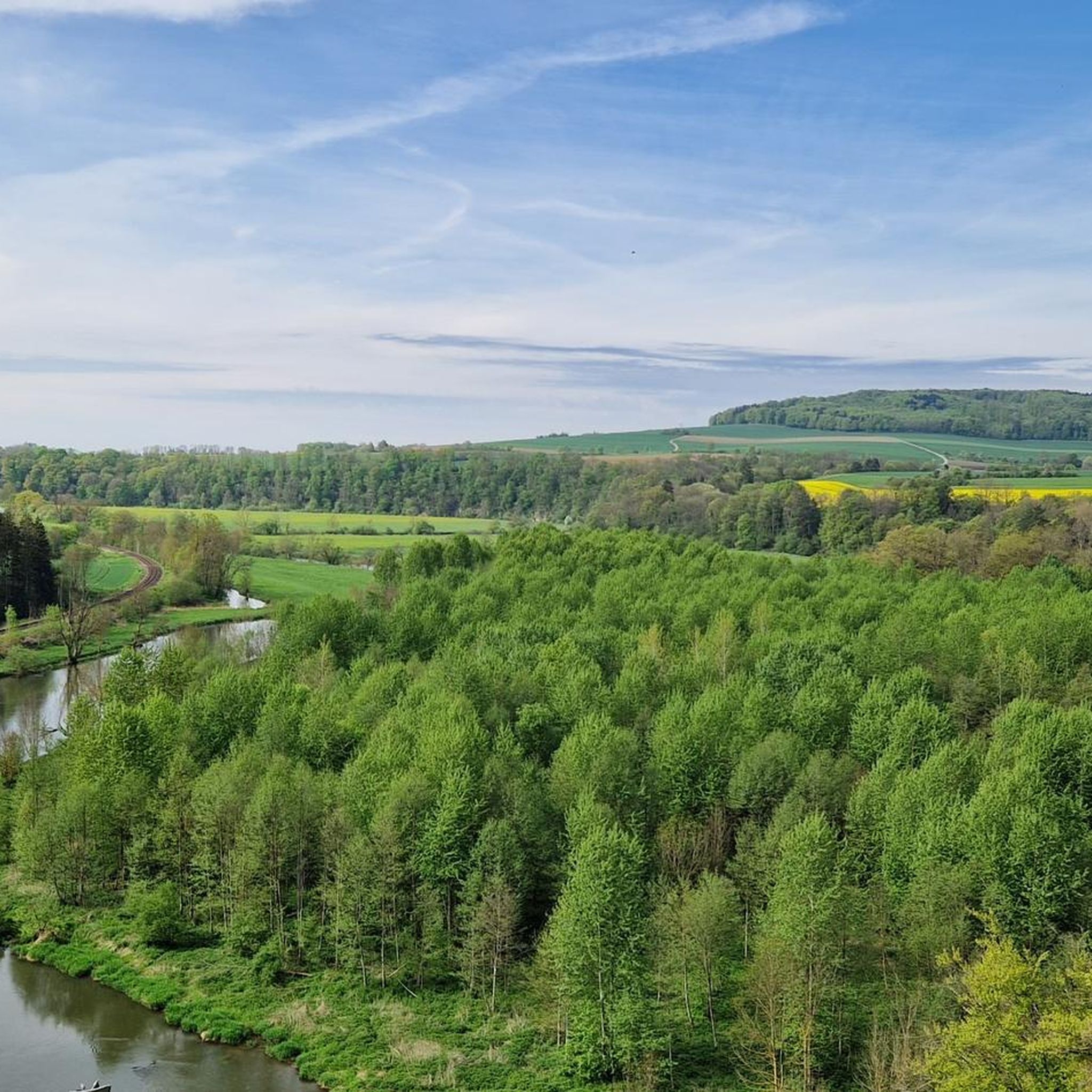
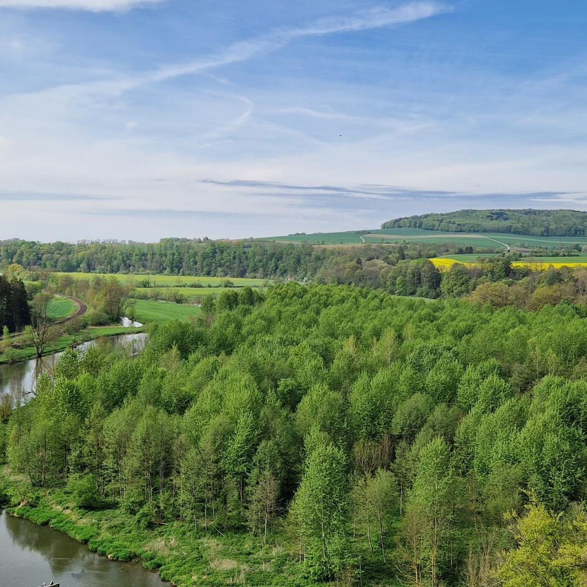
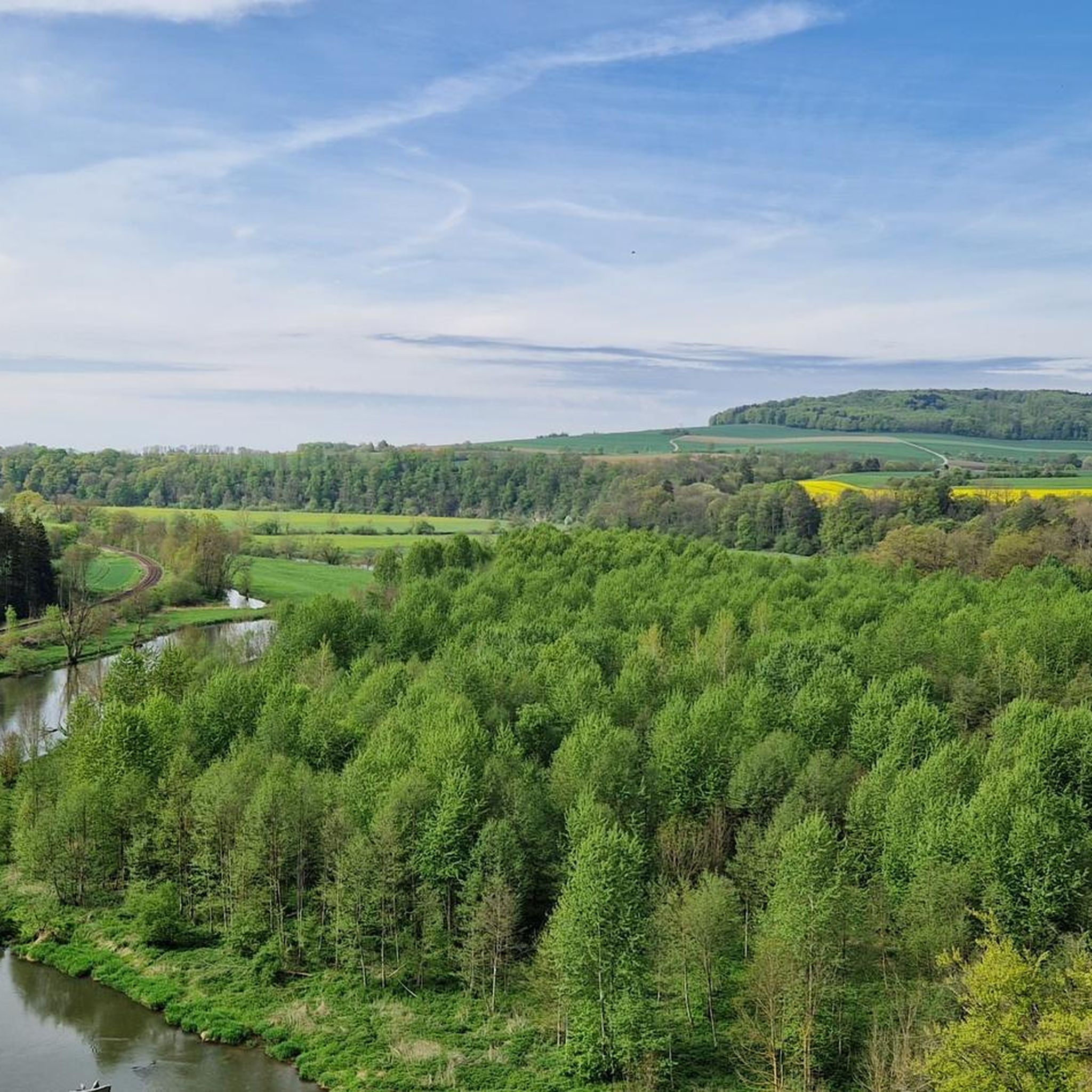
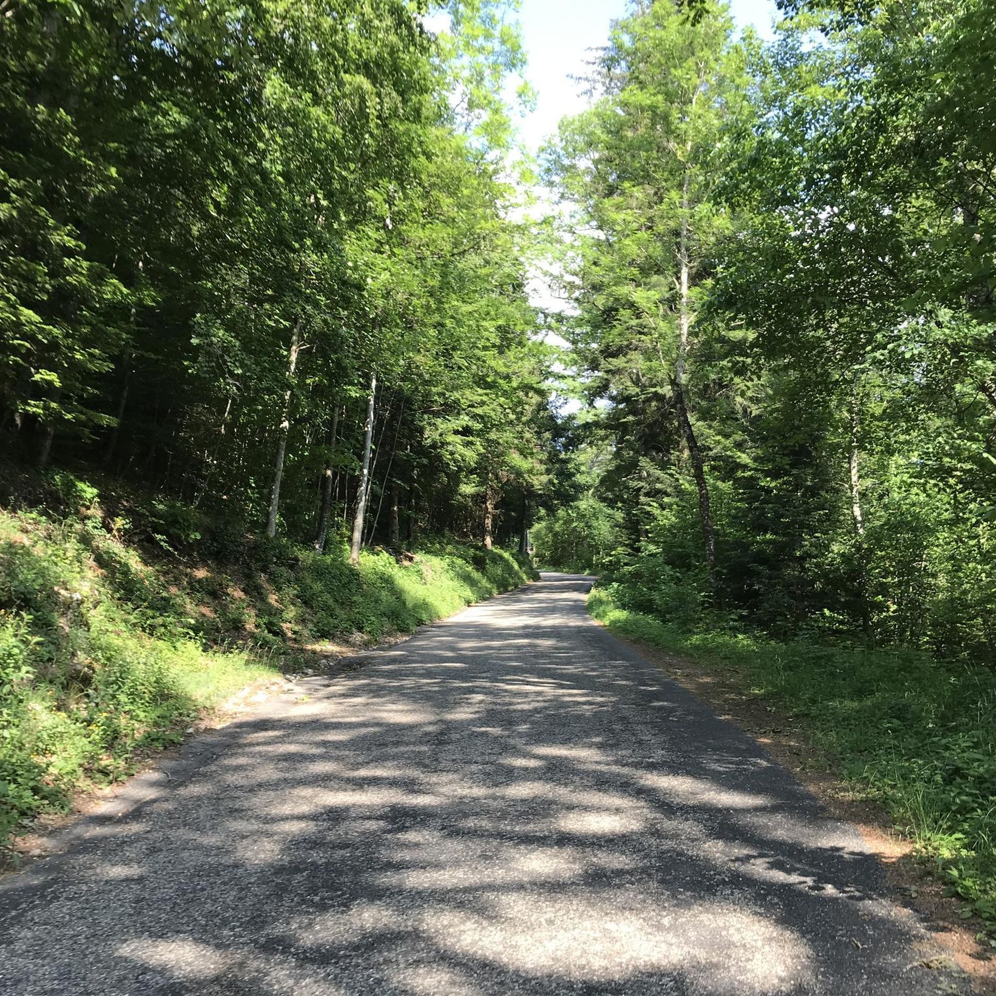
Hiking around Rechtenstein offers trails through the scenic Swabian Alb region. The landscape is characterized by river valleys, including the Lauter and Braunsel, alongside a mix of woodlands and open fields. Trails often feature gentle hills and provide views of the surrounding countryside. The area's geology includes limestone formations, contributing to varied terrain for hikers.
Best hiking trails around Rechtenstein
- The most popular hiking route is Lautertal near Reichenstein – Lauter Aqueduct loop from Rechtenstein, an 8.7 miles (13.9 km) trail that takes 3 hours 53 minutes to complete. This route follows the Lauter river and passes a historic aqueduct.
- Another top favourite among local hikers is Braunsel River – Hochwartfelsen loop from Rechtenstein, an easy 3.3 miles (5.3 km) path. This trail explores the Braunsel River valley and ascends to the Hochwartfelsen viewpoint.
- Local hikers also love the Rechtenstein Railway Station – View of Obermarchtal Abbey loop from Rechtenstein, a 4.9 miles (7.8 km) trail leading through varied terrain with views of Obermarchtal Abbey, often completed in about 2 hours 5 minutes.
- Hiking around Rechtenstein is defined by river valleys, forested sections, and viewpoints overlooking the Swabian Alb. The network offers options for different ability levels, from easy strolls to moderate ascents.
- The routes in Rechtenstein are highly rated by the komoot community with an average score of 4.6 stars from over 4800 reviews. More than 20000 hikers have used komoot to explore Rechtenstein's varied terrain.
Last updated: May 11, 2026
4.8
(95)
412
hikers
13.5km
03:47
270m
270m
Moderate hike. Good fitness required. Easily-accessible paths. Suitable for all skill levels.
4.8
(38)
161
hikers
5.34km
01:28
80m
80m
Easy hike. Great for any fitness level. Easily-accessible paths. Suitable for all skill levels.

Sign up for free
4.9
(24)
95
hikers
8.88km
02:28
150m
160m
Moderate hike. Good fitness required. Easily-accessible paths. Suitable for all skill levels.
4.7
(6)
23
hikers
Easy hike. Great for any fitness level. Easily-accessible paths. Suitable for all skill levels.
5.0
(4)
12
hikers
16.8km
04:36
250m
250m
Moderate hike. Good fitness required. Mostly accessible paths. Sure-footedness required.
Get access to more routes and recommendations from other explorers.
Sign up for free
Already have an account?
Our route recommendations are based on thousands of hikes, rides, and runs completed by other people on komoot.
Start today with a free account
Your next adventure awaits.
Login or Signup
Tips from the Community

In this part of the Lautertalweg there are two possibilities to walk the nature trail. The path over the stepping stones is the more adventurous way for hikers. Alternatively, you can also do it as a small circular hike and this would be the start.
0
0

-Great hiking cabin that can also be rented
0
0
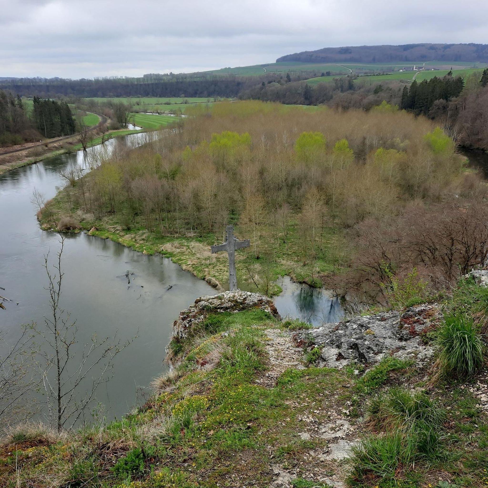
Great rock formation right on the Danube, superb path and bench
0
0

Beautiful inn near the monastery in Obermarchtal
1
0


Energy from nature - energy with nature. (Information board) It couldn't be expressed better!
0
0

Frequently Asked Questions
How many hiking trails are there in Rechtenstein?
Rechtenstein offers nearly 30 hiking trails, ranging from easy strolls to more challenging routes, exploring the diverse landscape of the Swabian Alb.
What do other hikers enjoy the most about hiking in Rechtenstein?
The hiking trails around Rechtenstein are highly rated by the komoot community, with an average score of 4.6 stars from over 4,800 reviews. Hikers frequently praise the scenic river valleys, the quiet forested sections, and the rewarding viewpoints overlooking the Swabian Alb.
Are there easy hiking routes suitable for beginners in Rechtenstein?
Yes, Rechtenstein has several easy hiking routes perfect for beginners. For example, the Braunsel River – Hochwartfelsen loop from Rechtenstein is an easy 3.3-mile (5.3 km) path that explores the Braunsel River valley and offers a gentle ascent to the Hochwartfelsen viewpoint.
Are there family-friendly hikes in Rechtenstein?
Many trails in Rechtenstein are suitable for families, especially those with less elevation gain and shorter distances. The region's river valleys and forests provide pleasant, shaded paths. Consider routes that pass by facilities like the Playground and barbecue area near Burg Derneck for a fun stop.
Are there circular walks available in Rechtenstein?
Yes, the majority of hiking routes in Rechtenstein are designed as circular walks, allowing you to start and end at the same point. Popular options include the Lautertal near Reichenstein – Lauter Aqueduct loop from Rechtenstein, which is 8.7 miles (13.9 km), or the shorter Rechtenstein Railway Station – View of Obermarchtal Abbey loop from Rechtenstein at 4.9 miles (7.8 km).
Can I find trails with waterfalls around Rechtenstein?
While Rechtenstein itself is known for its river valleys, you can find charming waterfalls nearby. The Small Waterfalls Near Wimsener Höhle are a notable natural attraction in the wider region, offering a picturesque sight during your hike.
What natural attractions can I explore on hikes near Rechtenstein?
Beyond the scenic river valleys like the Lauter and Braunsel, you can explore various natural monuments. Highlights include the impressive Great Lauter Valley, the unique Wimsener Cave, and the distinctive Rock Archway Entrance to Lautertal.
Are there viewpoints along the hiking trails in Rechtenstein?
Yes, many trails offer rewarding viewpoints. For instance, the Braunsel River – Hochwartfelsen loop from Rechtenstein ascends to the Hochwartfelsen viewpoint, providing panoramic views of the surrounding landscape. Other routes also offer glimpses of landmarks like Obermarchtal Abbey.
Are dogs allowed on hiking trails in Rechtenstein?
Generally, dogs are welcome on the hiking trails in Rechtenstein and the Swabian Alb. It's always recommended to keep them on a leash, especially in forested areas or near wildlife, and to be mindful of other hikers and local regulations.
Where can I find parking for hiking trails in Rechtenstein?
Parking is typically available at common starting points for hikes, such as near the Rechtenstein Railway Station or in the village center. Specific parking information is often detailed on individual route pages on komoot, helping you plan your starting point.
Are there cafes or places to eat near the hiking trails?
While Rechtenstein is a smaller community, you can find places to eat in the surrounding villages. Some routes might pass by or near local inns, like the Laufenmühle Inn, or designated picnic and barbecue areas such as the Hayinger Bridge Grill and Picnic Area.
How long do hiking routes typically take in Rechtenstein?
Hiking durations vary depending on the route's length and difficulty. Shorter, easy paths like the 3.3-mile (5.3 km) Braunsel River – Hochwartfelsen loop can take around 1 hour 30 minutes. Longer, moderate trails such as the 8.7-mile (13.9 km) Lautertal near Reichenstein – Lauter Aqueduct loop might take closer to 4 hours.
What is the best time of year for hiking in Rechtenstein?
The spring and autumn months are particularly pleasant for hiking in Rechtenstein, offering mild temperatures and beautiful scenery as the landscape changes. Summer is also popular, especially for shaded forest trails along the river valleys. Winter hikes are possible, but some paths might be slippery or less accessible depending on snow conditions.
Most popular routes around Rechtenstein
Most popular attractions around Rechtenstein

Get inspired with the komoot mobile app


Explore more
Browse the best Hikes in other regions.
