The best walks and hikes around Paglieta
4.6
(58)
821
hikers
62
hikes
Hiking around Paglieta offers diverse terrain, from coastal paths along the Adriatic Sea to tranquil routes through rolling hills and green fields. The region is characterized by its unique Costa dei Trabocchi, featuring traditional fishing structures and a dedicated cycle/pedestrian path. While Paglieta itself is set amidst gentle landscapes, its location in Abruzzo provides access to more rugged mountainous regions for challenging hikes. The area presents a variety of hiking experiences, blending coastal exploration with inland rural trails.
Best hiking…
Last updated: July 5, 2026
5.0
(1)
48
hikers
Moderate hike. Good fitness required. Easily-accessible paths. Suitable for all skill levels.
4.7
(3)
28
hikers
Moderate hike. Good fitness required. Easily-accessible paths. Suitable for all skill levels.

Sign up for free
13
hikers
Easy hike. Great for any fitness level. Easily-accessible paths. Suitable for all skill levels.
5.0
(2)
14
hikers
10.6km
02:41
30m
30m
Moderate hike. Good fitness required. Easily-accessible paths. Suitable for all skill levels.
5.0
(3)
10
hikers
Easy hike. Great for any fitness level. Easily-accessible paths. Suitable for all skill levels.
Get access to more routes and recommendations from other explorers.
Sign up for free
Already have an account?
Our route recommendations are based on thousands of hikes, rides, and runs completed by other people on komoot.
Start today with a free account
Your next adventure awaits.
Login or Signup

Tips from the Community

Interesting facts about the location: Family heirloom: this specific trabocco was built in 1887 by the Verì family. To this day, the structure is still in the hands of their great-grandchildren. Floating restaurant: Nowadays, the platform serves as a unique fish restaurant. You literally dine on a wooden platform above the waves. In the middle of the restaurant, there is even a section of transparent glass floor that allows you to see the Adriatic Sea splashing beneath your feet while you eat. Marathon lunch: If you want to eat here, you need to significantly adjust your Komoot planning. They work with an extensive fixed fish menu (approx. €60 - €70 p.p.) of no less than 11 courses. Lunch starts punctually at 1:00 PM for all guests simultaneously and lasts at least 3 hours. Plan your time and enjoy !
3
0
Even a short stop? Absolutely worth it. At Trabocco Punta Torre, a special fishing structure from 1850, time almost seems to stand still. The enormous wooden arms, cables, and nets are still used today for traditional net fishing, exactly as it happened generations ago. What makes this place extra special is the warm welcome from manager Claudio. Passers-by and cyclists are regularly spontaneously invited to take a look. With visible enthusiasm, he explains how the ingenious system works and how the nets are lowered into the Adriatic Sea via a mechanical lifting mechanism. A short stop that not only lets you experience a piece of history but also provides an encounter that you will remember for a long time.
3
0


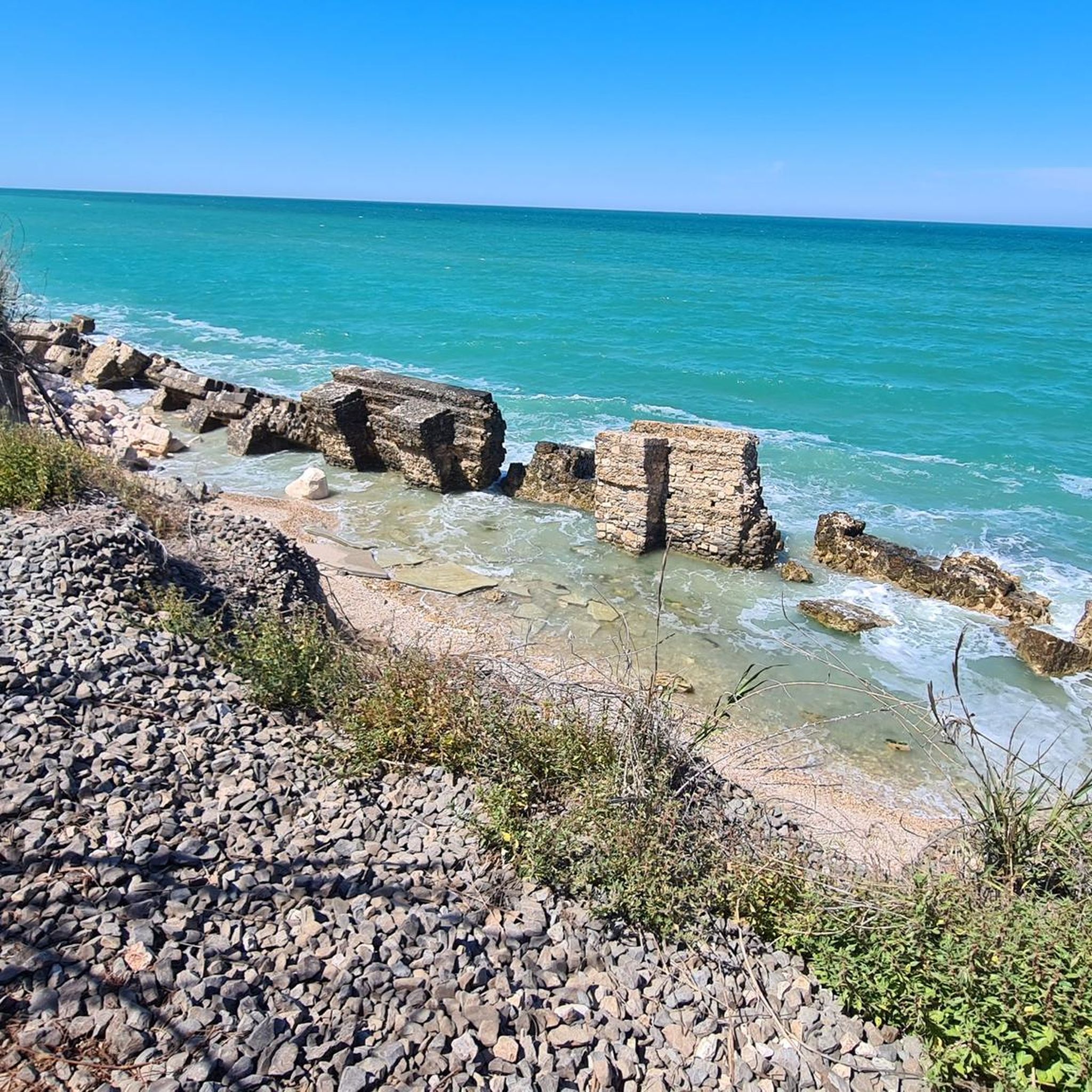
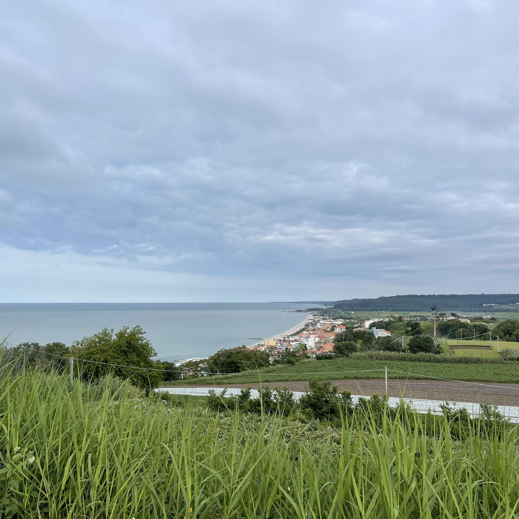
beautiful view of the mouth of the Sangro River.
0
0

The English Cemetery is always open
0
0

It is one of the best Trabocchi
0
0

One of the many overflows on this cycle path
0
0

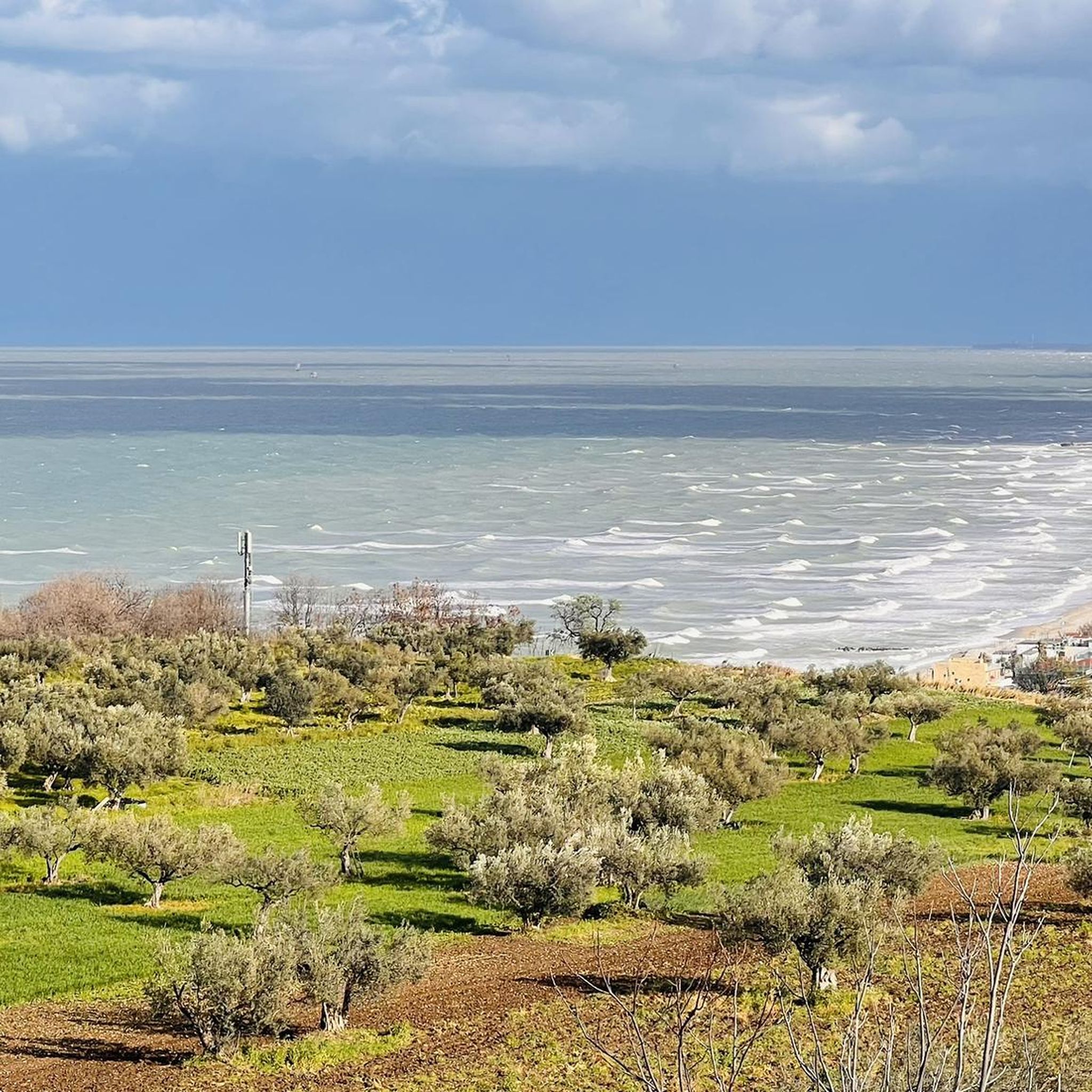
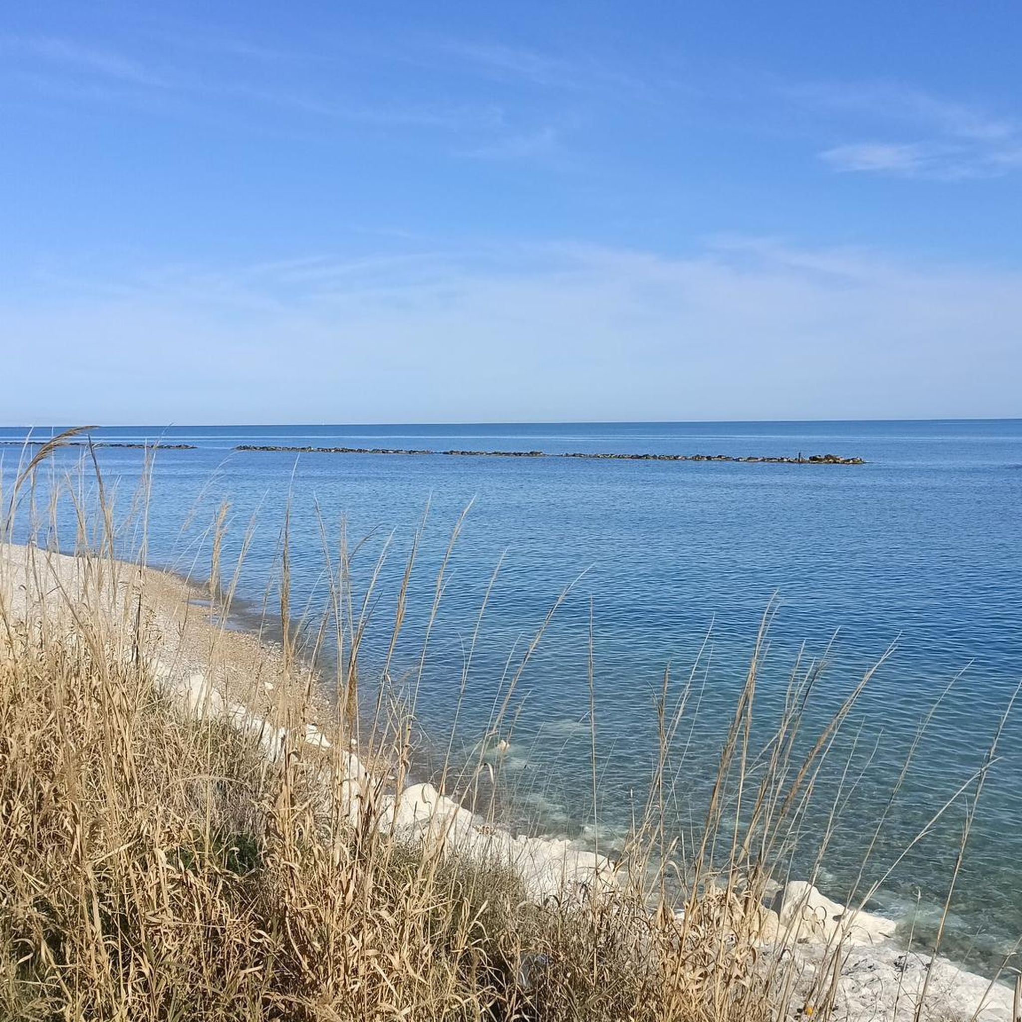
Beautiful cycle path and spectacular landscape
1
0
Frequently Asked Questions
How many hiking trails are available around Paglieta?
There are over 50 hiking trails around Paglieta, offering a diverse range of experiences. These include easy walks, moderate paths, and some more challenging routes, catering to various fitness levels.
What kind of terrain can I expect when hiking near Paglieta?
Hiking around Paglieta offers a mix of landscapes. You'll find scenic coastal paths along the Adriatic Sea, tranquil routes through rolling hills and green fields, and access to more rugged mountainous regions of Abruzzo for those seeking greater challenges.
What interesting landmarks or natural features can I see while hiking near Paglieta?
Many trails offer views of the unique Costa dei Trabocchi Cycle Path and Trabocchi Fishing Huts, traditional fishing machines suspended over the sea. You can also explore historical sites like the Abbey of St John in Venere, or even spot the underwater statue of The Christ of the Abyss at Vallevò from certain viewpoints.
Can I explore the famous Costa dei Trabocchi on foot?
Yes, the Costa dei Trabocchi is not just for cycling; it also provides excellent walking opportunities. You can hike along the dedicated cycle/pedestrian path, observing the traditional trabocchi up close. Some trabocchi are even open to visitors or transformed into restaurants, offering a unique cultural experience.
Are there hiking options for different fitness levels?
Absolutely. The trails in and around Paglieta cater to a wide range of fitness levels. You can find easy walks lasting up to two hours with minimal elevation gain, as well as more strenuous hikes that can take over five hours and involve significant ascents, requiring good fitness and sure-footedness.
What do other hikers enjoy most about the trails around Paglieta?
The hiking routes in Paglieta are highly rated by the komoot community, with an average score of 4.7 stars from over 50 reviews. Hikers often praise the diverse terrain, from coastal views to peaceful rolling hills, and the opportunity to combine natural beauty with cultural exploration, such as visiting the Abbey of San Giovanni in Venere.
Are there any family-friendly hiking trails in Paglieta?
Yes, Paglieta offers several easy trails suitable for families. For instance, the Commonwealth War Cemetery loop from Borgata Marina is an easy 7 km route that can be a pleasant option for a family outing.
Are dogs allowed on hiking trails around Paglieta?
Generally, dogs are welcome on many hiking trails in the Paglieta region, especially on public paths through rolling hills and along the coast. However, it's always advisable to keep them on a leash, especially in areas with wildlife or near agricultural land, and to check for specific local regulations if entering nature reserves.
Are there circular hiking routes available?
Yes, many of the popular routes around Paglieta are circular. Examples include the Abbey of San Giovanni in Venere loop from Riserva Naturale Regionale della Lecceta di Torino di Sangro and the Trabucco Punta Isolata – Isolated tip overflow loop from Fossacesia-Torino di Sangro, which allow you to start and end at the same point.
What is the best time of year for hiking in Paglieta?
The best time for hiking in Paglieta is typically during the spring (April to June) and autumn (September to October) when the weather is mild and pleasant. Summers can be hot, especially along the coast, while winters are generally mild but can be damp. These shoulder seasons offer comfortable temperatures for exploring both coastal paths and inland hills.
What are the parking options for hikers in Paglieta?
Parking is generally available near popular trailheads and attractions in and around Paglieta. For routes like those around the Abbey of San Giovanni in Venere or along the Costa dei Trabocchi, you can often find designated parking areas in nearby towns or villages such as Fossacesia or Torino di Sangro. It's recommended to check specific starting points for the best parking options.
Is public transport available to reach hiking trailheads?
While Paglieta is a smaller village, public transport options, primarily local bus services, connect it to larger towns in the Abruzzo region. From these towns, you might find connections closer to some trailheads, especially those along the Costa dei Trabocchi. However, for more remote starting points, a car might be more convenient.
Are there places to eat or stay near the hiking trails?
Yes, Paglieta and the surrounding coastal towns offer various options for accommodation and dining. You'll find cafes, restaurants, and agriturismi (farm stays) in Paglieta itself, as well as in nearby Fossacesia and along the Costa dei Trabocchi, many of which are easily accessible after a hike.
Most popular attractions around Paglieta

Get inspired with the komoot mobile app


Explore more
Browse the best Hikes in other regions.
