The best walks and hikes around Rechenberg-Bienenmühle
4.7
(1371)
4,540
hikers
252
hikes
Hiking around Rechenberg-Bienenmühle offers diverse experiences within the Central Saxony district of Germany. The region is characterized by its picturesque low mountain range landscape, part of the scenic Ore Mountains (Erzgebirge), with elevations ranging between 550 and 806 meters. The Freiberger Mulde river carves a deeply incised valley, featuring steep hillsides and extensive dark spruce forests, many of which are designated NATURA-2000 areas. Hikers can also find flowering meadows and unique moor landscapes.
Best hiking trails around Rechenberg-Bienenmühle
- The most…
Last updated: September 29, 2026
4.7
(119)
339
hikers
Moderate hike. Good fitness required. Easily-accessible paths. Suitable for all skill levels.
4.6
(48)
158
hikers
27.5km
07:34
450m
450m
Hard hike. Very good fitness required. Easily-accessible paths. Suitable for all skill levels.

4.7
(32)
98
hikers
12.3km
03:16
130m
130m
Moderate hike. Good fitness required. Easily-accessible paths. Suitable for all skill levels.
4.6
(33)
102
hikers
13.5km
03:43
230m
230m
Moderate hike. Good fitness required. Easily-accessible paths. Suitable for all skill levels.
4.7
(28)
91
hikers
8.28km
02:18
160m
160m
Moderate hike. Good fitness required. Easily-accessible paths. Suitable for all skill levels.
Get access to more routes and recommendations from other explorers.
Already have an account?
Our route recommendations are based on thousands of hikes, rides, and runs completed by other people on komoot.
Start today with a free account
Your next adventure awaits.
Popular around Rechenberg-Bienenmühle

Hiking with heart in the Ore Mountains

History meets nature – Erzgebirge-Vogtland Ridge Trail
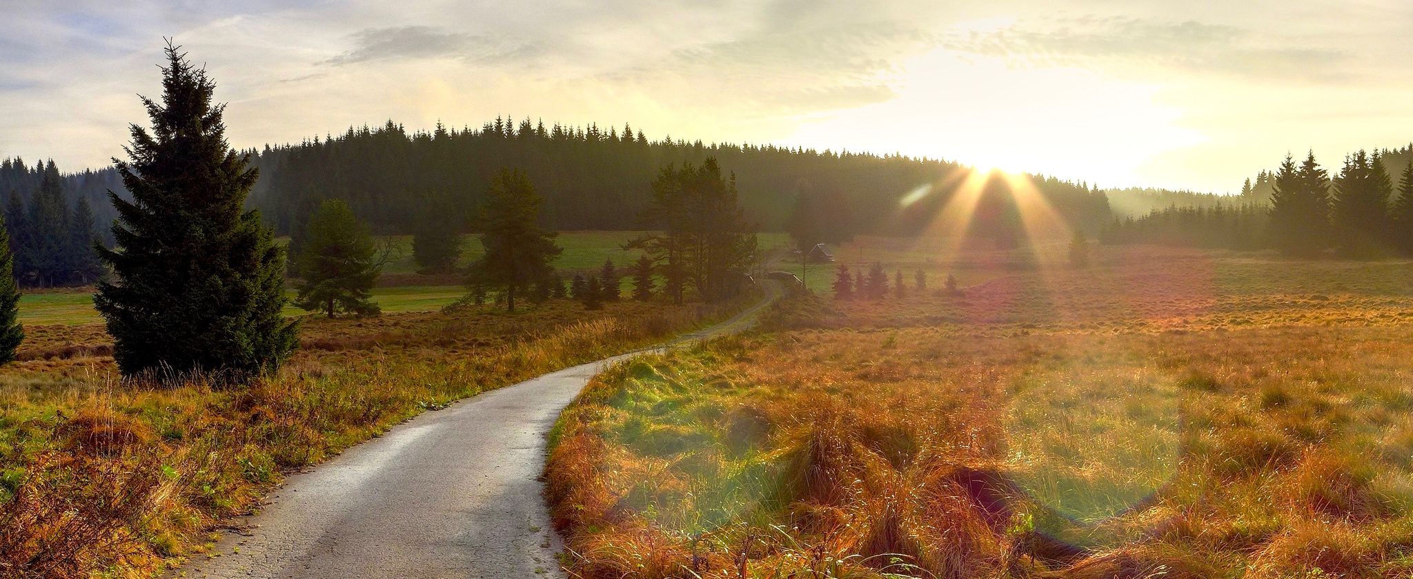
Ore Mountains — between forests and elevation
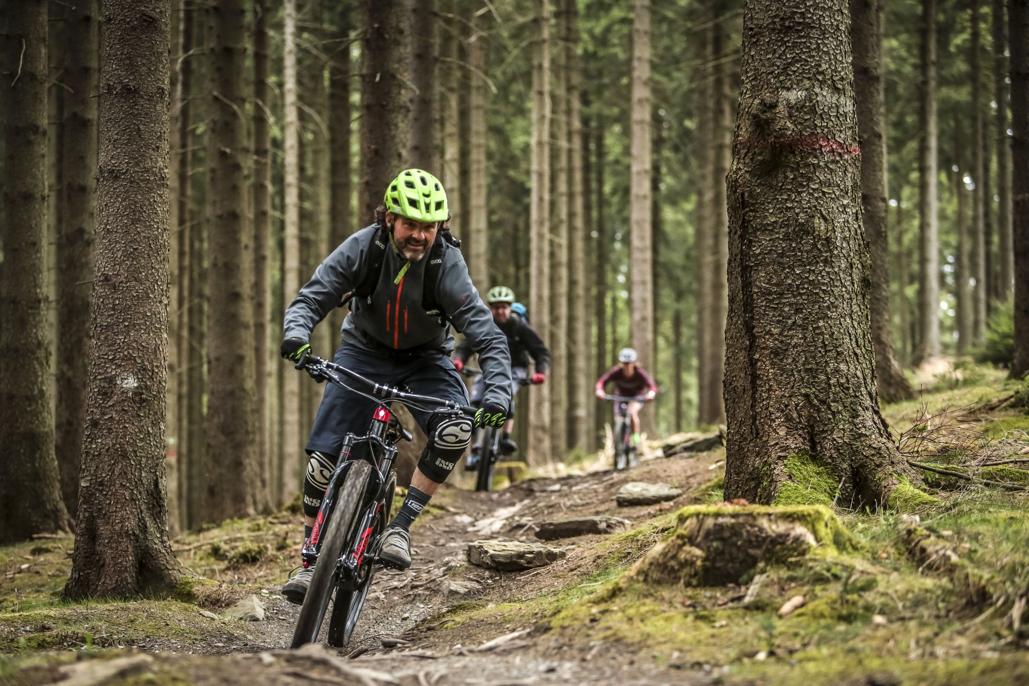
MTB adventures in Saxony
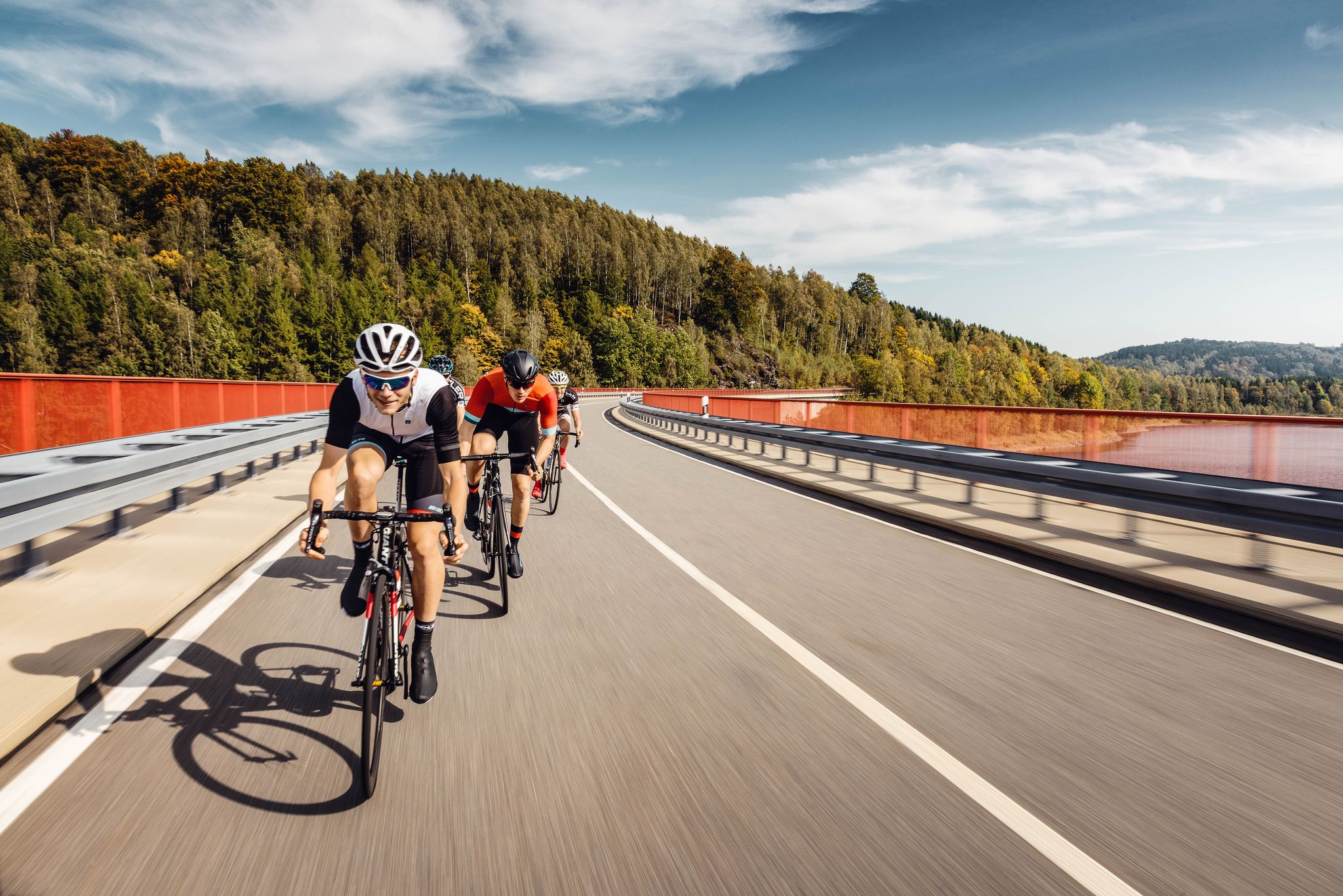
Pure road and gravel riding joy through Saxony
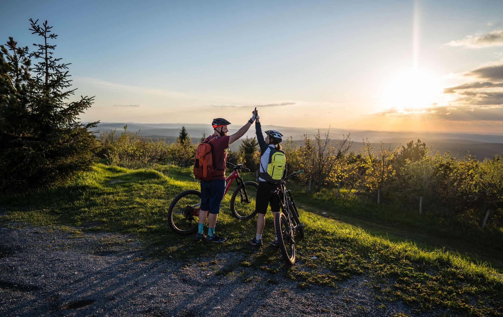
Flying high on two wheels – bike holidays in the Ore Mountains
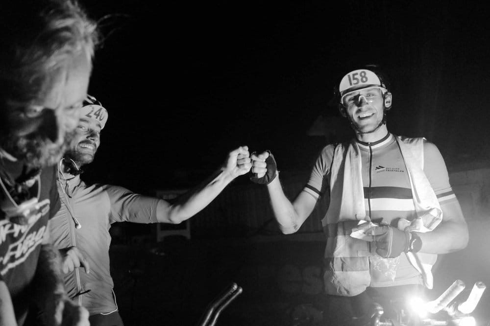
TCR No. 8 — racing across Europe
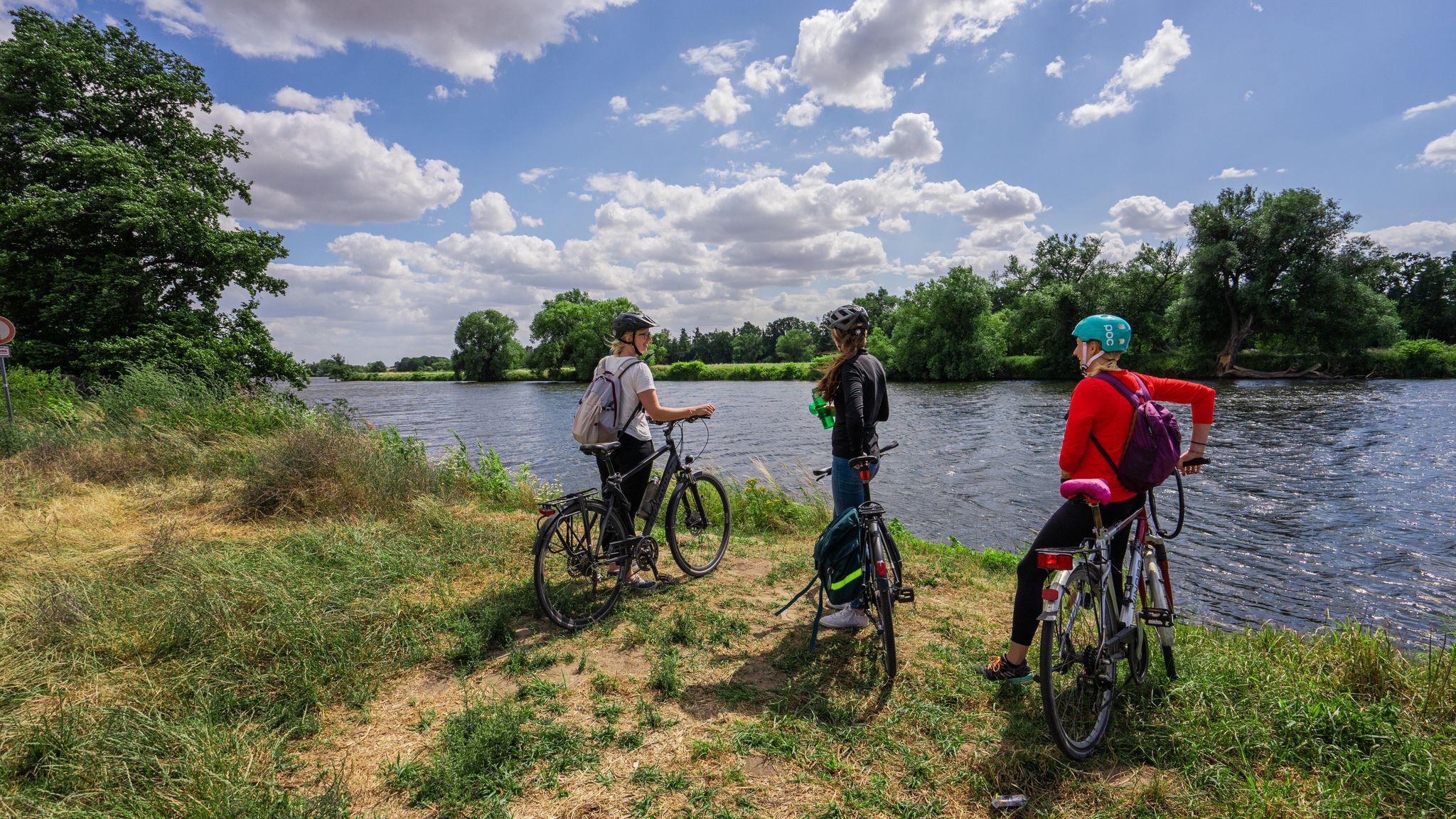
The Mulde Cycling Path
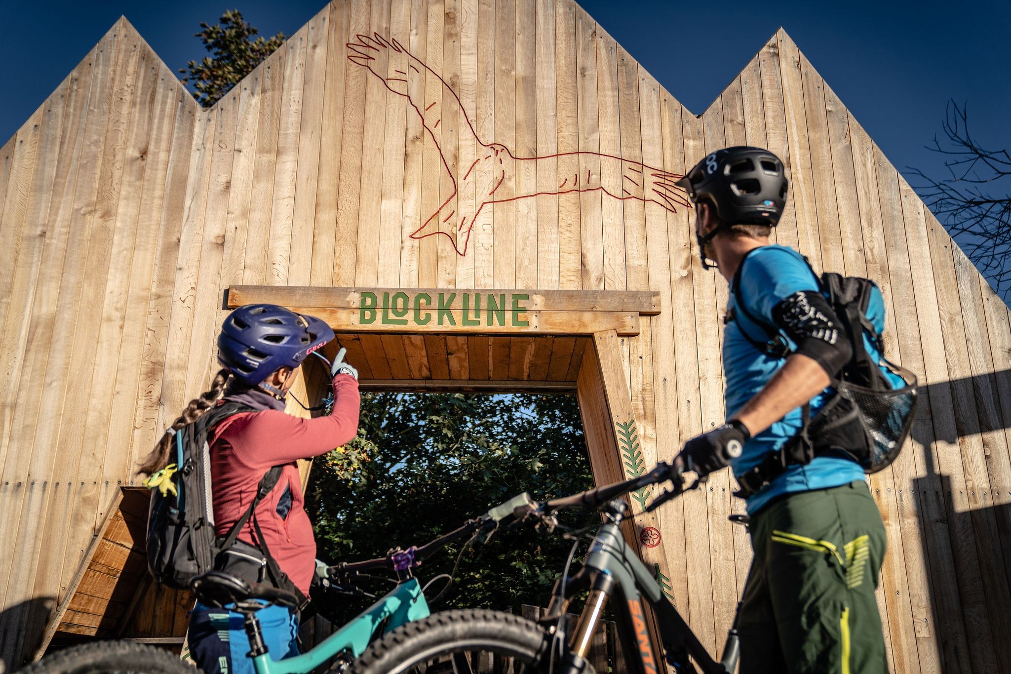
BLOCKLINE – Dein Bike-Abenteuer im Erzgebirge
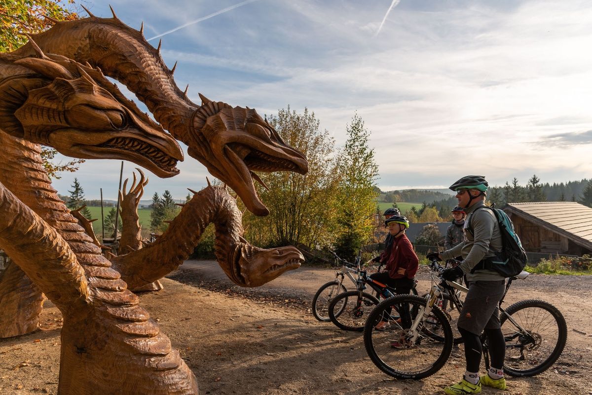
BLOCKLINE-Gesamtstrecke in 5 Tagen – Bike-Urlaub im Erzgebirge
Other adventures around Rechenberg-Bienenmühle


Tips from the Community

Interesting how the wood for mining used to get to Freiberg ;-)
0
1
A Kneipp foot bath to soothe swollen hiking feet. Great idea!
1
0

There were many railway lines along the Mulde river, unfortunately only a few remain.
0
0

In 2001, Fláje consisted of 3 houses, in which 20 people lived.[5] From the old village, the foundations of the relocated church and houses are still visible on the eastern shore of the reservoir.
3
0


Pretty little wooden bridge that sags a little and rocks slightly.
13
0

On weekdays, the train runs hourly towards Freiberg between 05:34 and 20:34.
0
1
Frequently Asked Questions
How many hiking trails are available in Rechenberg-Bienenmühle?
Rechenberg-Bienenmühle offers a vast network of over 250 marked hiking trails. These routes cater to various fitness levels, from easy strolls to more challenging multi-day treks, ensuring there's something for everyone.
What kind of landscapes can I expect to see while hiking in Rechenberg-Bienenmühle?
The region is characterized by its picturesque low mountain range landscape within the scenic Ore Mountains. You'll encounter diverse natural beauty, including flowering meadows, serene forests (many designated NATURA-2000 areas), and unique moor landscapes. The Freiberger Mulde river carves a deeply incised valley with steep hillsides, adding to the dramatic scenery.
Are there any family-friendly hiking options in Rechenberg-Bienenmühle?
Yes, Rechenberg-Bienenmühle offers numerous family-friendly hiking options. With over 90 easy routes, you can find paths suitable for all ages. Many trails are shorter and have less elevation gain, perfect for a leisurely outing with children. Look for routes that explore the charming villages or gentle forest paths.
Can I bring my dog on the hiking trails?
Most hiking trails in Rechenberg-Bienenmühle are dog-friendly, allowing you to enjoy the beautiful scenery with your canine companion. However, it's always recommended to keep dogs on a leash, especially in nature conservation areas or near wildlife, and to be mindful of other hikers and local regulations.
Are there any circular hiking routes in the area?
Yes, many of the trails in Rechenberg-Bienenmühle are designed as circular routes, allowing you to start and end at the same point. An example is the Fláje–Clausnitz Flume Trail – Fláje Dam Information Center loop from Holzhau, which is a moderate 9.8-mile (15.8 km) loop exploring the area around the Fláje Dam.
What are some notable viewpoints or landmarks I can discover on a hike?
The region offers several impressive panoramic viewpoints. The Kahleberg Summit (905 meters) provides enchanting vistas, while the Schwartenberg Summit (789 meters) offers a wonderful all-round view of the Ore Mountains. You can also visit the Luisen Tower on the Geisingberg for a breathtaking 360-degree perspective. Historic landmarks like the Burgruine Rechenberg are also accessible via hiking paths.
Are there any themed trails or unique attractions along the routes?
Beyond natural pathways, you can find unique themed trails. The Rechenberg Beer Tour is a 6 km circular walk that combines hiking with a visit to the Sächsische Brauereimuseum. There are also specialized trails like a herbal path and an educational path on local forestry. Parts of the long-distance Kammweg (Ridge Trail) also pass through the area.
What is the best time of year to go hiking in Rechenberg-Bienenmühle?
The best time for hiking in Rechenberg-Bienenmühle is generally from spring to autumn (April to October) when the weather is mild and the landscapes are vibrant with flowering meadows or autumn colors. However, the region also offers extensive cross-country skiing trails in winter, making it suitable for winter hikes and snowshoeing when conditions allow.
What do other hikers enjoy most about the trails in Rechenberg-Bienenmühle?
The hiking trails in Rechenberg-Bienenmühle are highly rated by the komoot community, with an average score of 4.7 stars. Hikers often praise the diverse low mountain range landscapes, the well-marked paths through dense spruce forests, and the serene beauty of the Freiberger Mulde river valley.
Are there any challenging hikes for experienced trekkers?
Yes, for experienced trekkers, there are challenging routes available. For instance, the Bridge. – Fláje Reservoir loop from Holzhau is a difficult 16.2-mile (26.1 km) path that offers extensive views around the Fláje Reservoir and typically requires over 7 hours to complete.
How accessible are the hiking trails by public transport?
While specific public transport connections vary by starting point, the region is generally well-served, especially around larger villages like Holzhau. Some routes, such as stages of the Kammweg, are designed with connections to local bus services, like the Wanderbus, to facilitate point-to-point hikes or return journeys.
Are there any natural features like moors or dams to explore?
Absolutely. The region is home to unique moor landscapes, such as the intriguing Georgenfelder High Moor Boardwalk. You can also explore the impressive Talsperre Rauschenbach (Rauschenbach Dam) and the picturesque Gimmlitz valley, featuring the Gimmlitzbach stream, which are popular destinations for hikers.
Most popular routes around Rechenberg-Bienenmühle
Most popular attractions around Rechenberg-Bienenmühle

Get inspired with the komoot mobile app


Explore more
Browse the best Hikes in other regions.
