The best road cycling routes around Rechberghausen
4.6
(674)
9,083
riders
165
rides
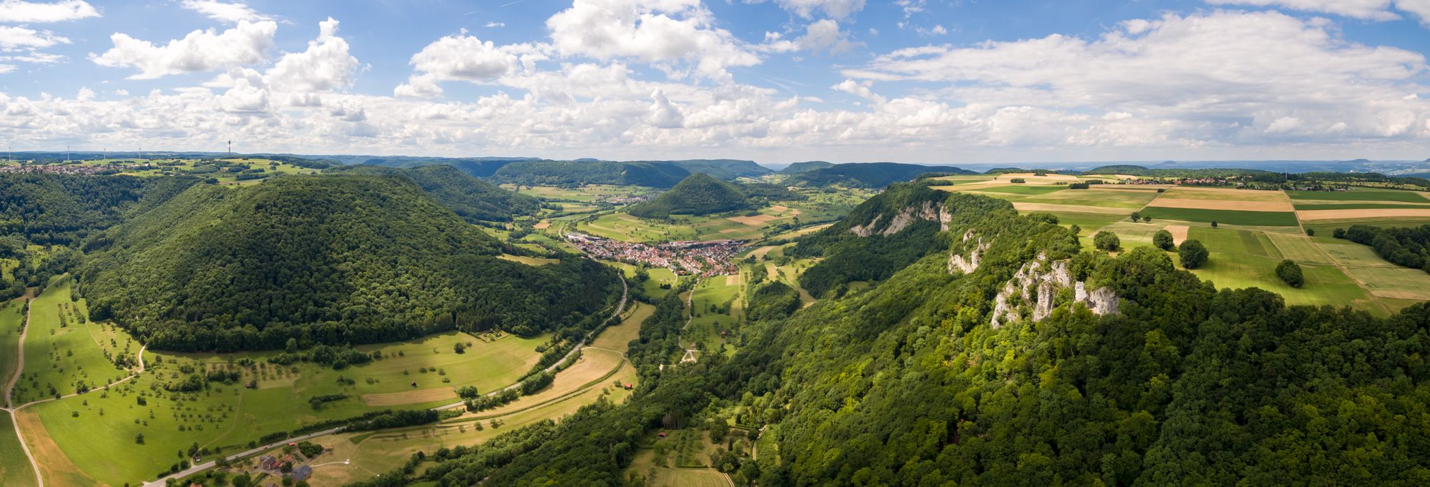
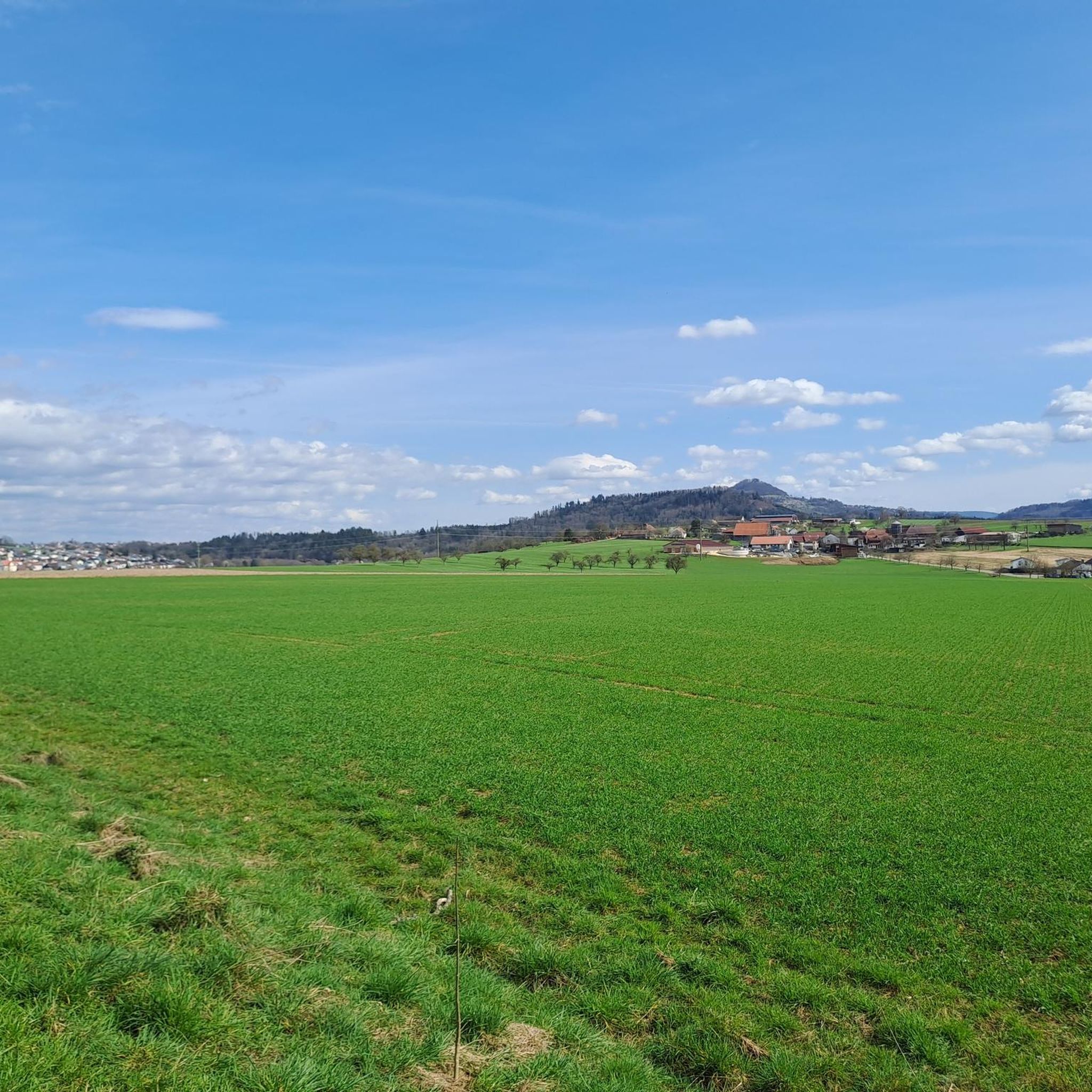
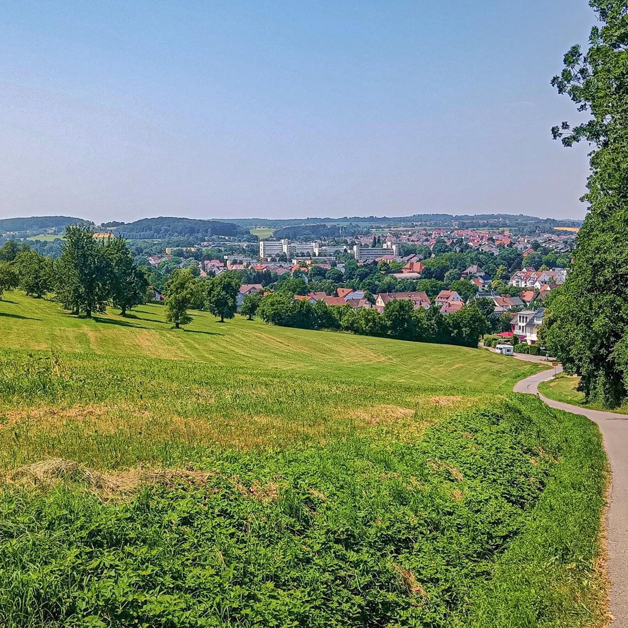
Road cycling routes around Rechberghausen are situated at the foot of the Swabian Alb, offering a diverse topography. The region features rolling hills, dense forests, and green meadows, providing varied terrain for road cyclists. Its proximity to the Swabian Alb means routes often include both challenging climbs and rewarding descents. This landscape creates a dynamic environment for road cycling, with many routes utilizing mostly paved surfaces.
Best road cycling routes around Rechberghausen
- The most popular road cycling route is Furtlepass…
Last updated: July 6, 2026
4.3
(11)
231
riders
73.2km
03:17
760m
760m
Moderate road ride. Good fitness required. Mostly well-paved surfaces and easy to ride.
4.6
(7)
115
riders
53.3km
02:33
690m
690m
Moderate road ride. Good fitness required. Mostly well-paved surfaces and easy to ride.

Sign up for free
4.6
(5)
98
riders
118km
05:37
1,470m
1,470m
Hard road ride. Very good fitness required. Mostly well-paved surfaces and easy to ride.
4.0
(3)
82
riders
Moderate road ride. Good fitness required. Some segments of this route may be unpaved and difficult to ride.
4.3
(4)
73
riders
Moderate road ride. Good fitness required. Mostly well-paved surfaces and easy to ride.
Get access to more routes and recommendations from other explorers.
Sign up for free
Already have an account?
Our route recommendations are based on thousands of hikes, rides, and runs completed by other people on komoot.
Start today with a free account
Your next adventure awaits.
Login or Signup


Tips from the Community

Even though the path is too narrow and heavily used by cyclists and pedestrians, it is one of the best cycling connections in the area.
0
0

March 2026: traffic lights still in place after the landslide – but no obstacle for cyclists.
0
0
Going uphill is a great way to improve your basic endurance.
0
0

simply beautiful and relaxing
0
0
Ingenious and ideal for winter training
0
0

Beautiful climb to the Aasrücken
0
0

On weekdays, expect to see trucks. The Furtle Pass appears to be a shortcut for the 40-tonners.
1
0
Frequently Asked Questions
How many road cycling routes are available around Rechberghausen?
There are over 160 road cycling routes around Rechberghausen, offering a wide variety of options for different skill levels. This includes 38 easy routes, 92 moderate routes, and 37 difficult routes.
What kind of terrain can I expect on road cycling routes in Rechberghausen?
The region around Rechberghausen, situated at the foot of the Swabian Alb, features diverse terrain. You can expect rolling hills, dense forests, and green meadows. Routes often include both challenging climbs and rewarding descents, with many utilizing mostly paved surfaces ideal for road cycling.
Are there road cycling routes suitable for beginners or less experienced cyclists?
Yes, Rechberghausen offers 38 easy road cycling routes. These routes are generally less demanding in terms of elevation gain and distance, making them suitable for beginners or those looking for a more relaxed ride.
What are some of the more challenging road cycling routes in the area?
For experienced cyclists seeking a challenge, there are 37 difficult routes. One such route is the Waldhausen–Rattenharz Climb – Beutentalstraße loop from Birenbach, which covers 73.8 miles (118.8 km) and features significant ascents.
What scenic viewpoints or historical landmarks can I see while road cycling near Rechberghausen?
The region is rich in scenic and historical points of interest. You can encounter landmarks like the majestic Hohenstaufen castle ruins, offering panoramic views, or the magnificent 12th-century Filseck Castle. Some routes also pass by natural highlights such as the Herrenbach Reservoir or Plüderhausen Lake.
Are there any specific routes that pass by notable attractions or natural features?
Yes, many routes incorporate the region's attractions. For example, the Ottenbach–Rechberg Climb – Plateau near Schönberg loop from Faurndau includes the Rechberg climb and traverses scenic plateaus. Another route, the Neckarinsel Pedestrian Bridge – Hundertwasser House Plochingen loop from Faurndau, offers views of the Neckarinsel and the unique Hundertwasser House.
What is the best time of year for road cycling in Rechberghausen?
The region's rolling hills and lush landscapes are particularly enjoyable during spring, summer, and early autumn. These seasons typically offer pleasant weather conditions for cycling, allowing you to fully appreciate the scenic beauty of the Swabian Alb foothills.
Are there options for parking near the road cycling routes in Rechberghausen?
While specific parking areas for each route are not detailed, Rechberghausen and its surrounding towns generally offer public parking facilities. It's advisable to check local parking options in the starting towns of your chosen route, such as Faurndau or Birenbach, before your ride.
Are there any cafes or places to stop for refreshments along the routes?
The towns and villages throughout the Rechberghausen region, including Bartenbach and Wäschenbeuren, often have local cafes, bakeries, or restaurants where cyclists can stop for refreshments. Additionally, some routes might pass by facilities like the Boller Heide Shelter and Barbecue Area or the Rehhalden Hut, which can serve as convenient rest stops.
What do other road cyclists say about the routes in Rechberghausen?
The road cycling routes around Rechberghausen are highly rated by the komoot community, with an average score of 4.7 stars from over 600 reviews. More than 9,000 road cyclists have explored the varied terrain, often praising the diverse topography, scenic views, and well-maintained paved surfaces.
Is Rechberghausen suitable for family-friendly road cycling?
While many routes feature challenging climbs, there are also easier options that could be suitable for families, particularly those with older children or more experienced young riders. It's recommended to choose from the 38 easy routes available and review their elevation profiles to ensure they match your family's fitness level.
Are dog-friendly cycling routes available in Rechberghausen?
The suitability of a route for cycling with a dog depends on the dog's fitness, the route's surface, and local regulations. While specific 'dog-friendly' road cycling routes are not designated, many paved paths in the region might be suitable. Always ensure your dog is comfortable with the distance and terrain, and check for any local leash laws or access restrictions.
What is the longest road cycling route in the area?
One of the longest routes is the Waldhausen–Rattenharz Climb – Beutentalstraße loop from Birenbach, which spans 73.8 miles (118.8 km) and is considered difficult due to its significant elevation gain.
Most popular routes around Rechberghausen
Most popular attractions around Rechberghausen

Get inspired with the komoot mobile app


Explore more
Browse the best Road cycling routes in other regions.
