The best running trails around Ovindoli
4.7
(3)
367
runners
35
runs
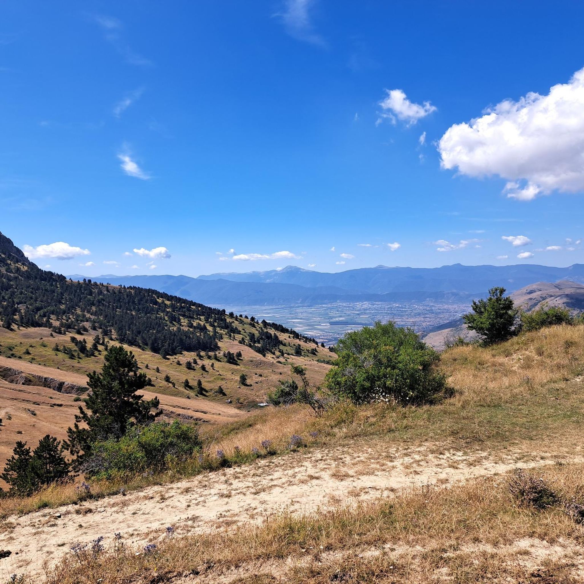
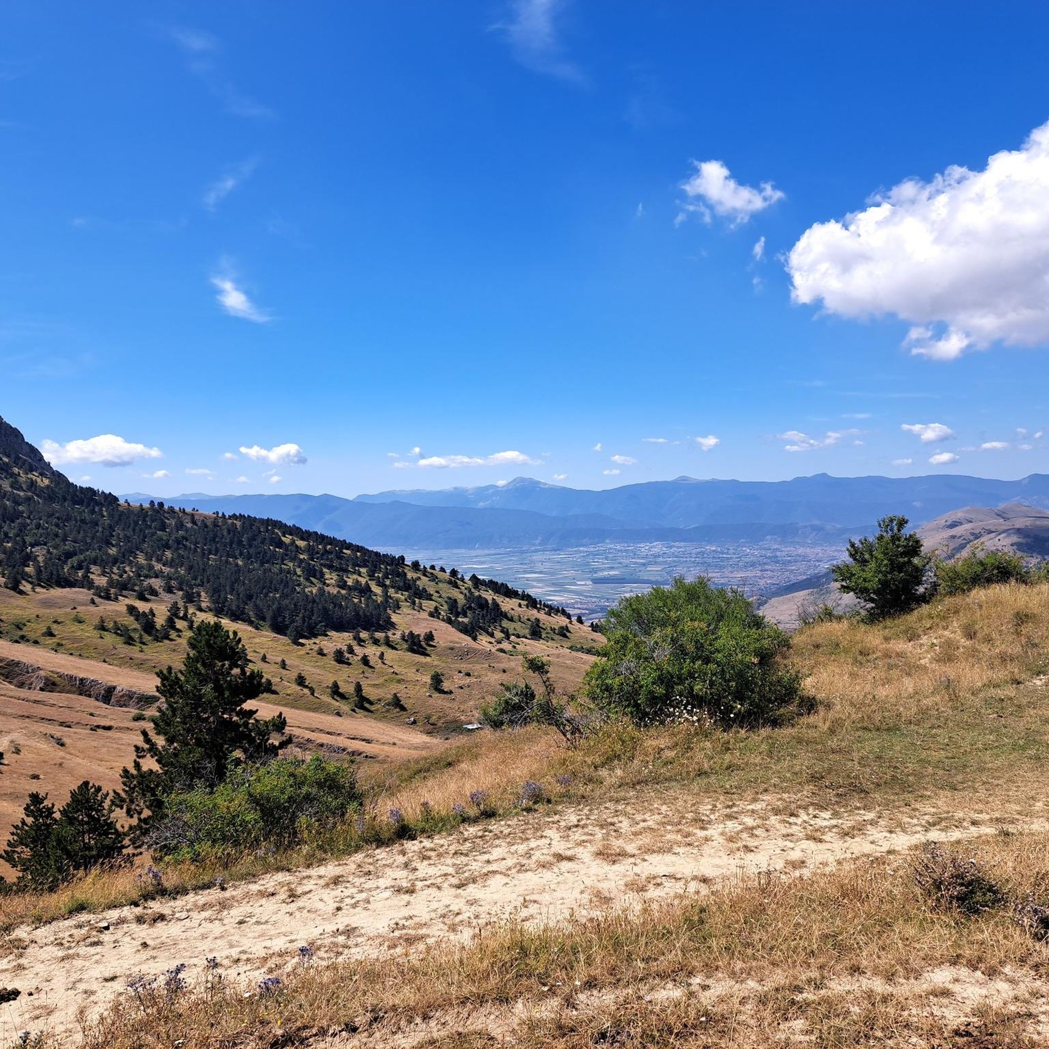
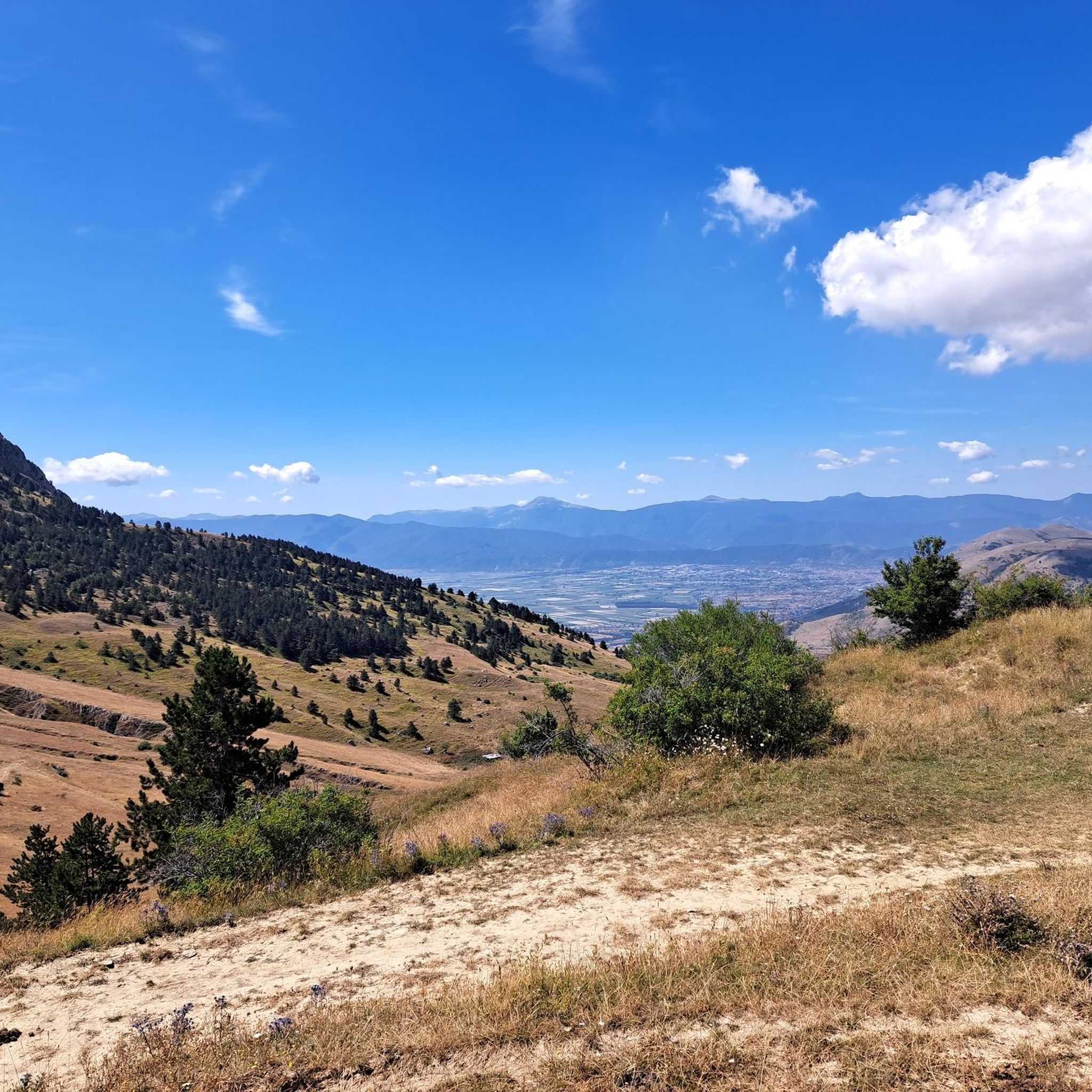
Jogging around Ovindoli offers diverse landscapes within Italy's Apennine Mountains, particularly in the Sirente-Velino Regional Natural Park. The region features dramatic mountain scenery, expansive high plains like Altopiano delle Rocche, and ancient lake basins such as Valle d'Arano. Runners can explore a mix of forests, rocky peaks, and open pastures, providing varied terrain for all levels.
Best jogging routes around Ovindoli
- The most popular jogging route is La Val d'Arano – loop run from Ovindoli, a 7.6 miles (12.2…
Last updated: October 25, 2026
4.0
(1)
59
runners
12.2km
01:21
160m
160m
Moderate run. Good fitness required. Mostly paved surfaces.
18
runners
Hard run. Very good fitness required. Mostly paved surfaces.

3
runners
Hard run. Very good fitness required. Sure-footedness, sturdy shoes and alpine experience required.
33
runners
21.9km
02:40
640m
640m
Hard run. Very good fitness required. Mostly paved surfaces.
32
runners
33.2km
04:55
1,420m
1,420m
Hard run. Very good fitness required. Sure-footedness, sturdy shoes and alpine experience required.
Get access to more routes and recommendations from other explorers.
Already have an account?
Our route recommendations are based on thousands of hikes, rides, and runs completed by other people on komoot.
Start today with a free account
Your next adventure awaits.


Tips from the Community

The cycle path is now asphalted. The surrounding panorama is beautiful, but sometimes there is little shade.
0
0

Is it also possible with gravel? Can October be considered as a period to do it?
0
0

Beautiful cycle path that is popular and therefore very well maintained.
0
0


Done many times, as well as with cross-country skis, also with Mtb. Enchanting scenery both in summer and in winter as someone has already commented. Did it again just yesterday in Mtb, and we'll do it again, and again 🚴🏻♀️😎✌🏾
1
1

Rocca di Mezzo is a town in the Sirente-Velino Regional Park, a tourist resort both in summer and winter, thanks to the proximity of the ski resorts of Campo Felice and Ovindoli and the possibilities for hiking, trekking and cycling.
0
0
Unpaved path that connects the villages of the Altopiano delle Rocche, between Ovindoli, Rovere and Rocca di Mezzo. It winds through the mountains of the Sirente-Velino Park and is perfect for walking, cycling and cross-country skiing in winter.
0
0
Monte delle Canelle is a mountain in the Apennines, in the Sirente-Velino Regional Natural Park. It has a height of 1811 meters and is located between Monte Velino and Monte Magnola.
0
0
Frequently Asked Questions
How many running routes are available around Ovindoli?
Ovindoli offers a wide selection of running routes, with over 35 trails available for exploration. These routes vary in difficulty and length, providing options for all levels of runners.
What kind of terrain can I expect on the running trails in Ovindoli?
The running trails around Ovindoli, nestled within the Sirente-Velino Regional Natural Park, feature incredibly diverse terrain. You can expect dramatic mountain scenery, expansive high plains like the Altopiano delle Rocche, and ancient lake basins such as Valle d'Arano. Routes wind through forests, rocky peaks, and open pastures, offering a varied and engaging experience.
Are there running routes suitable for beginners or those looking for an easy jog?
Yes, Ovindoli offers routes suitable for all levels. While many trails are moderate or difficult, there are at least 2 easy routes available. For example, the La Val d'Arano – loop run from Ovindoli is a moderate option that explores a scenic ancient lake basin, and the Celano Cliffs – Val d'Arano loop from Ovindoli is another moderate choice.
What natural features or landmarks can I see while jogging in the Ovindoli area?
While running in Ovindoli, you can encounter stunning natural features and landmarks. Highlights include the vast Piani di Pezza, a beautiful glacial plateau, and the impressive Gorges of Celano. You might also pass mountain passes like Valico Fonte Capo La Maina and enjoy panoramic views, such as the View of the Sirente-Velino Mountains.
Are there challenging running routes for experienced trail runners in Ovindoli?
Absolutely. Ovindoli is an excellent destination for experienced trail runners, with 15 difficult routes available. A notable challenging option is Through the Altopiano delle Rocche – race in the Parco Regionale Sirente-Velino, an 18.7 km path traversing high plains with significant elevation changes. Another demanding route is Piani di Pezza e Monte delle Canelle – loop run from Magnola in the Parco Regionale Sirente-Velino, which includes a substantial climb.
Can I find circular running routes in the Ovindoli area?
Yes, many of the running routes around Ovindoli are designed as loops, offering convenient circular paths. Examples include the popular La Val d'Arano – loop run from Ovindoli and the more challenging Piani di Pezza e Monte delle Canelle – loop run from Magnola in the Parco Regionale Sirente-Velino.
What do other runners enjoy the most about jogging in Ovindoli?
The running experience in Ovindoli is highly rated by the komoot community, with an average score of 4.7 stars. Runners often praise the dramatic mountain scenery, the diverse landscapes of the Sirente-Velino Regional Natural Park, and the extensive network of trails that cater to various ability levels.
Is Ovindoli suitable for family-friendly running or jogging with children?
While specific 'family-friendly' designations for running routes are not always explicit, the diverse terrain of Ovindoli includes easier, flatter sections that could be suitable for families. The Valle d'Arano, for instance, features a relatively flat 5 km loop trail that is accessible and offers a mix of unpaved, gravel, and path surfaces, making it a good option for a leisurely family jog.
Are there any mountain huts or refuges along the running routes for a break?
Yes, the area around Ovindoli features mountain huts that can serve as points of interest or rest stops. You might encounter the Vincenzo Sebastiani Mountain Hut or Rifugio La Vecchia (Mandra Murata Pass, Mount Sirente), which are popular spots for hikers and runners alike.
What is the best time of year to go running in Ovindoli?
Ovindoli offers running opportunities year-round, but the best time largely depends on your preference. Summer provides ideal conditions for exploring higher mountain trails and enjoying lush landscapes. In warmer months, challenging routes like those through the Gole di Celano become more accessible. Spring and autumn offer pleasant temperatures and beautiful scenery, while winter can be suitable for specific routes, though some higher trails may be covered in snow or ice.
Are there any running routes that offer panoramic views?
Yes, many routes in Ovindoli provide breathtaking panoramic views. The Altopiano delle Rocche offers wide vistas across the Fucino Plain and surrounding valleys. Additionally, trails leading towards Monte Magnola or Pizzo di Ovindoli can reward runners with spectacular mountain scenery and expansive views over the Sirente-Velino Regional Natural Park.
Are there options for long-distance running in Ovindoli?
For those seeking longer distances, Ovindoli provides several options. Routes like Through the Altopiano delle Rocche – race in the Parco Regionale Sirente-Velino extend to nearly 19 km. Another significant option is Val d'Arano – Ovindoli loop from Ovindoli, which covers over 21 km with substantial elevation gain, perfect for endurance training.
Most popular attractions around Ovindoli

Get inspired with the komoot mobile app


Explore more
Browse the best Running Trails & Routes in other regions.
