The best running trails around Gagliano Aterno
4.0
(1)
291
runners
13
runs
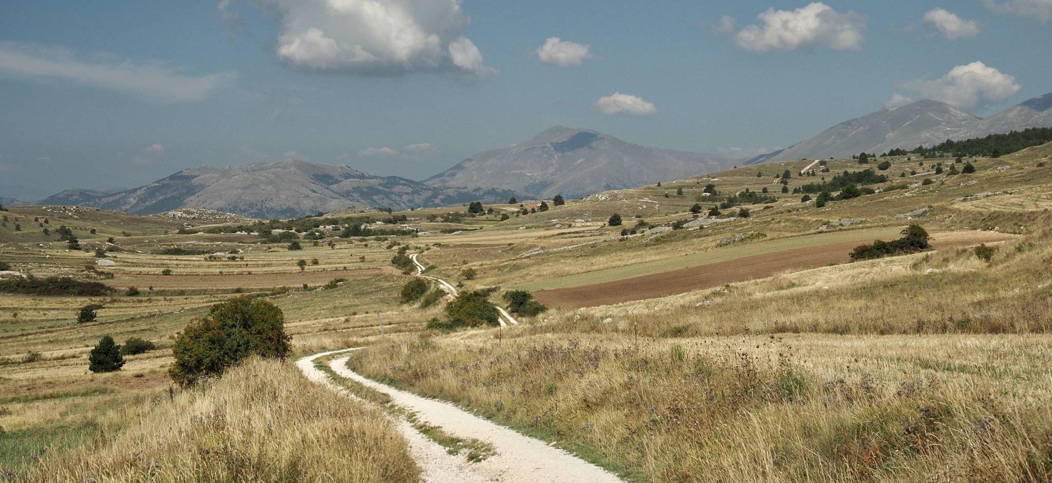
Jogging routes around Gagliano Aterno traverse a landscape characterized by the Sirente-Velino Regional Park, featuring varied terrain from high plateaus to significant mountain ascents. The region includes areas like the Altopiano delle Rocche and the Val d'Arano, offering a mix of open spaces and more challenging inclines. Runners can expect to encounter diverse natural environments, including forested sections and rocky formations.
Best jogging routes around Gagliano Aterno
- The most popular jogging route is La Val d'Arano – loop run from…
Last updated: November 4, 2026
11
runners
10.3km
03:15
1,140m
1,140m
Hard run. Very good fitness required. Sure-footedness, sturdy shoes and alpine experience required.
19
runners
12.7km
01:40
350m
350m
Hard run. Very good fitness required. Mostly paved surfaces.

23
runners
36.2km
06:12
2,290m
2,290m
Hard run. Very good fitness required. Sure-footedness, sturdy shoes and alpine experience required.
12
runners
5.13km
00:32
40m
40m
Moderate run. Good fitness required. Mostly paved surfaces.
3
runners
6.39km
00:46
130m
120m
Moderate run. Good fitness required. Mostly paved surfaces.
Get access to more routes and recommendations from other explorers.
Already have an account?
Our route recommendations are based on thousands of hikes, rides, and runs completed by other people on komoot.
Start today with a free account
Your next adventure awaits.


Other adventures around Gagliano Aterno

Tips from the Community

View over all the main Abruzzo peaks
1
0

excellent landscape overlooking the Gran Sasso and the Maiella mountains. Possibility of meeting chamois too
1
0


The town of Aielli is famous for its universe village, a real open-air museum. Walking through the universe village it is possible to admire 26 splendid murals.
0
0

Picnic area with tables, an excellent opportunity to stop and rest and catch your breath while admiring the views of the surrounding mountains and peaks.
0
0
Monte Sirente is a mountain in the Abruzzo Apennines, 2349 meters high, which is part of the Sirente-Velino Park. It is a destination for hikers and nature lovers, from the top you have a wonderful view of the surrounding landscape.
1
0
Val d'Arano is the result of the erosion of an ancient lake formed by the river La Foce, which has also carved out the suggestive Celano-Aielli Gorges. It is crossed by a 5 km loop trail that offers breathtaking views of the canyon and the mountain.
0
0
The village of Ovindoli stands at 1375 m asl in the presence of Mount Magnola. It is located within the Sirente-Velino Regional Natural Park, in the so-called "Altopiano delle Rocche". In addition to the naturalistic beauties, it is also worth mentioning its ancient castle-enclosure dating back to an era between the 12th and 14th centuries.
0
0
Frequently Asked Questions
What kind of terrain can I expect on running routes around Gagliano Aterno?
The running routes in Gagliano Aterno traverse a diverse landscape within the Sirente-Velino Regional Park. You'll encounter varied terrain, from high plateaus like the Altopiano delle Rocche to significant mountain ascents, as well as forested sections and rocky formations. It offers a mix of open spaces and more challenging inclines.
Are there any easy running trails suitable for beginners in the Gagliano Aterno area?
While there are no routes specifically classified as 'easy' in the immediate vicinity, you'll find several moderate running trails. For example, the La Val d'Arano – loop run from Ovindoli is a moderate 7.6-mile (12.2 km) trail that offers a scenic loop without extreme elevation changes.
Which running routes offer a more challenging experience near Gagliano Aterno?
For a more challenging run, consider the Through the Altopiano delle Rocche – race in the Parco Regionale Sirente-Velino, an 11.6-mile (18.7 km) difficult path with expansive views. Another demanding option is the Ascent to Monte Sirente from the Chalet, a 6.4-mile (10.3 km) trail with significant elevation gain.
Are there any circular running routes available in Gagliano Aterno?
Yes, several routes are designed as loops. A popular option is the La Val d'Arano – loop run from Ovindoli, which takes you through the scenic Val d'Arano. Another is the Abruzzo Way: Pagliare di Tione Loop, offering a longer, more challenging circular experience.
What are some points of interest or landmarks I can see while running in the Gagliano Aterno area?
The region is rich in historical and natural sights. You might encounter medieval structures like the Gagliano Aterno Castle or the Medieval Castle and Stone Wall Houses. Nature lovers can explore the impressive Gorges of Celano or the picturesque Gorges of San Venanzio, which also features the Fonte degli Innamorati Waterfall.
Are the running trails around Gagliano Aterno suitable for families?
The area offers moderate trails that could be suitable for active families, depending on the children's experience and fitness levels. Routes like the Celano Cliffs – Val d'Arano loop from Ovindoli are shorter and have less elevation gain, making them potentially more manageable for a family outing.
What do other runners say about the jogging experience in Gagliano Aterno?
The running routes in Gagliano Aterno are highly rated by the komoot community, with an average score of 4.0 stars. Runners often praise the varied terrain, the expansive views, and the opportunity to explore the natural beauty of the Sirente-Velino Regional Park.
Is Gagliano Aterno a good destination for trail running with dogs?
Many trails within the Sirente-Velino Regional Park are generally dog-friendly, but it's always advisable to keep dogs on a leash, especially in areas with wildlife or livestock. Always check local regulations for specific routes or protected areas to ensure a pleasant experience for both you and your dog.
What is the best time of year to go running in Gagliano Aterno?
Given the region's high plateaus and mountain ascents, spring and autumn generally offer the most pleasant running conditions with mild temperatures and beautiful scenery. Summer can be warm, especially at lower elevations, while winter may bring snow and colder temperatures, making some higher trails challenging or inaccessible.
Are there any shorter running routes for a quick workout near Gagliano Aterno?
Yes, if you're looking for a shorter run, the Celano Cliffs – Val d'Arano loop from Ovindoli is a moderate 7.95 km (4.9 miles) trail that can be completed in about 50 minutes, offering a good option for a quicker workout.
How many running routes are available to explore in the Gagliano Aterno area?
There are 6 distinct running routes documented around Gagliano Aterno, offering a range of moderate to difficult experiences through the diverse landscapes of the Sirente-Velino Regional Park.
Most popular attractions around Gagliano Aterno

Get inspired with the komoot mobile app


Explore more
Browse the best Running Trails & Routes in other regions.
