The best road cycling routes around Fara San Martino
4.5
(54)
1,659
riders
43
rides
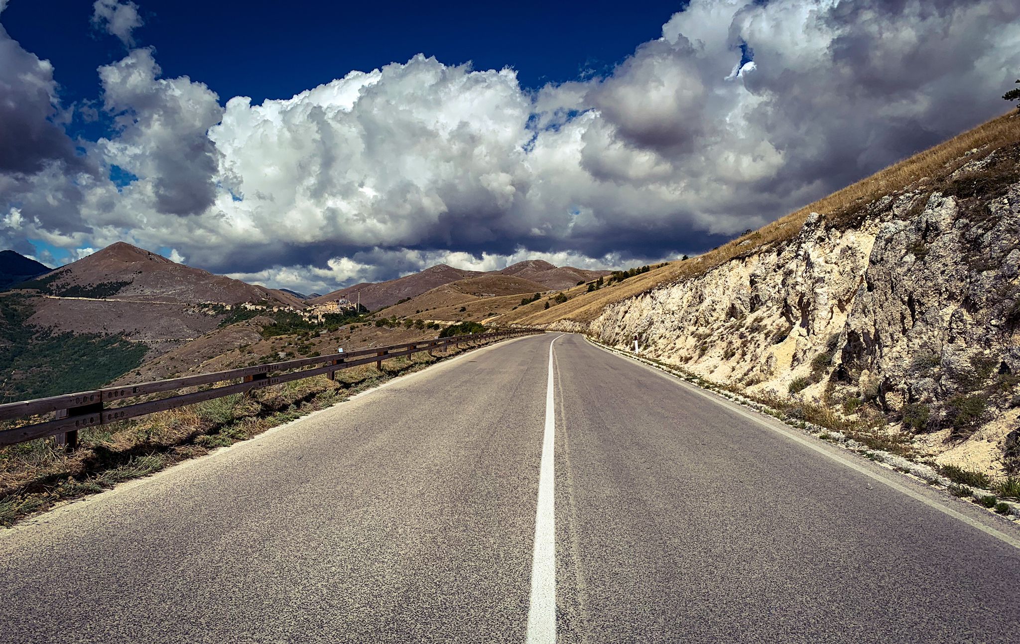
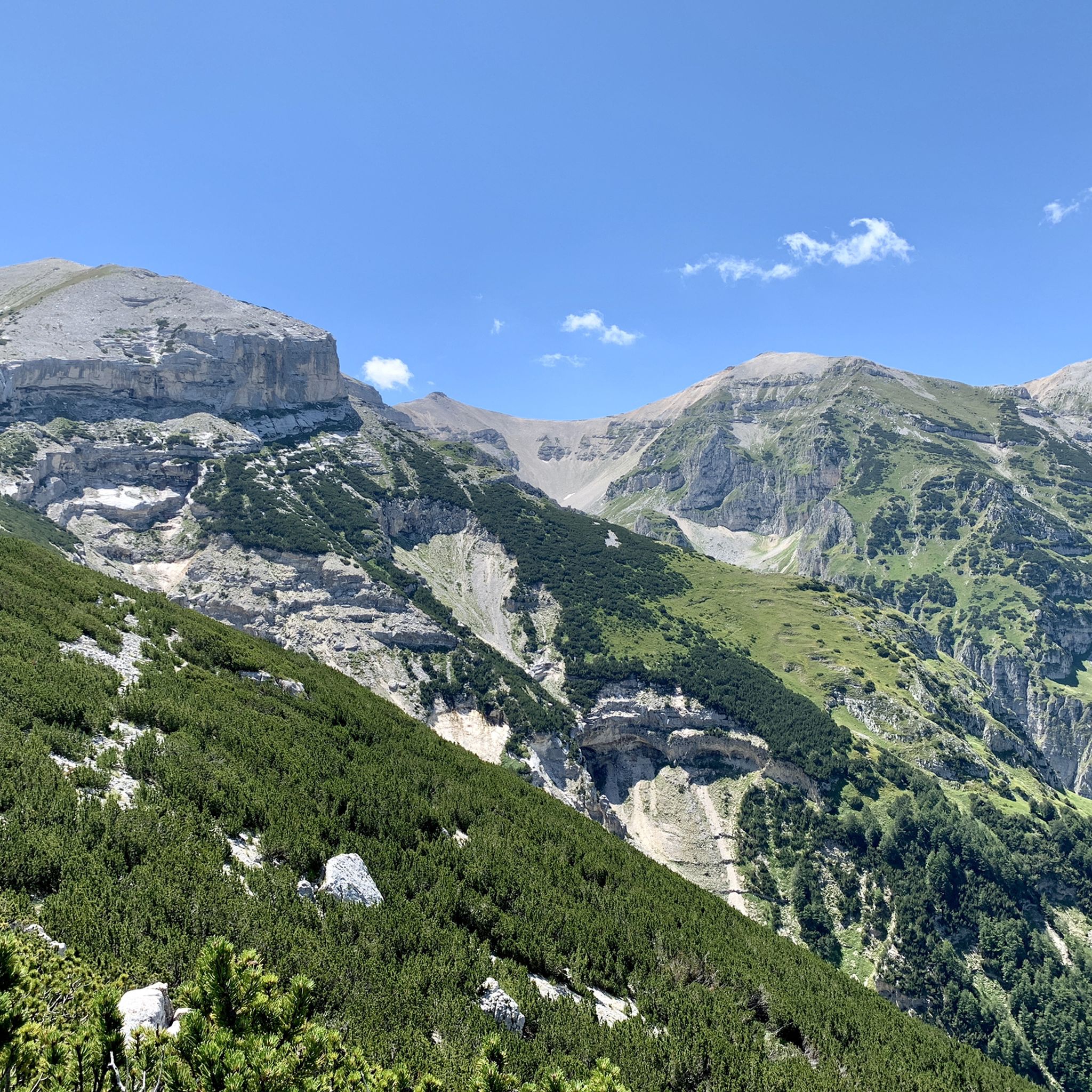
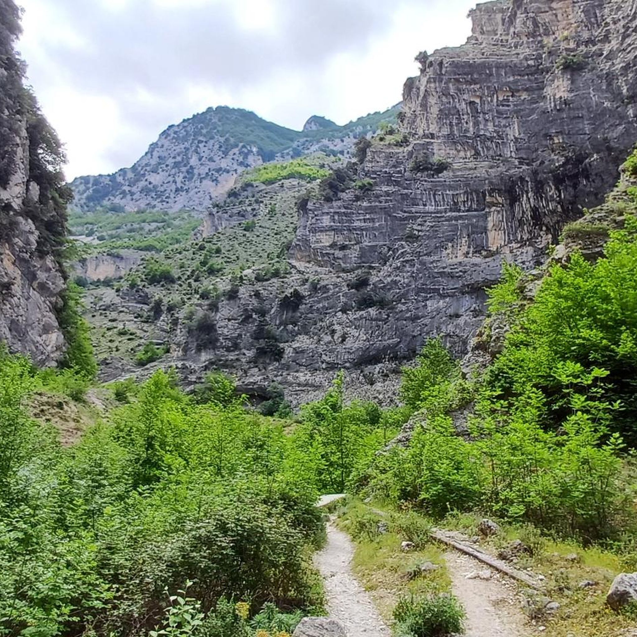
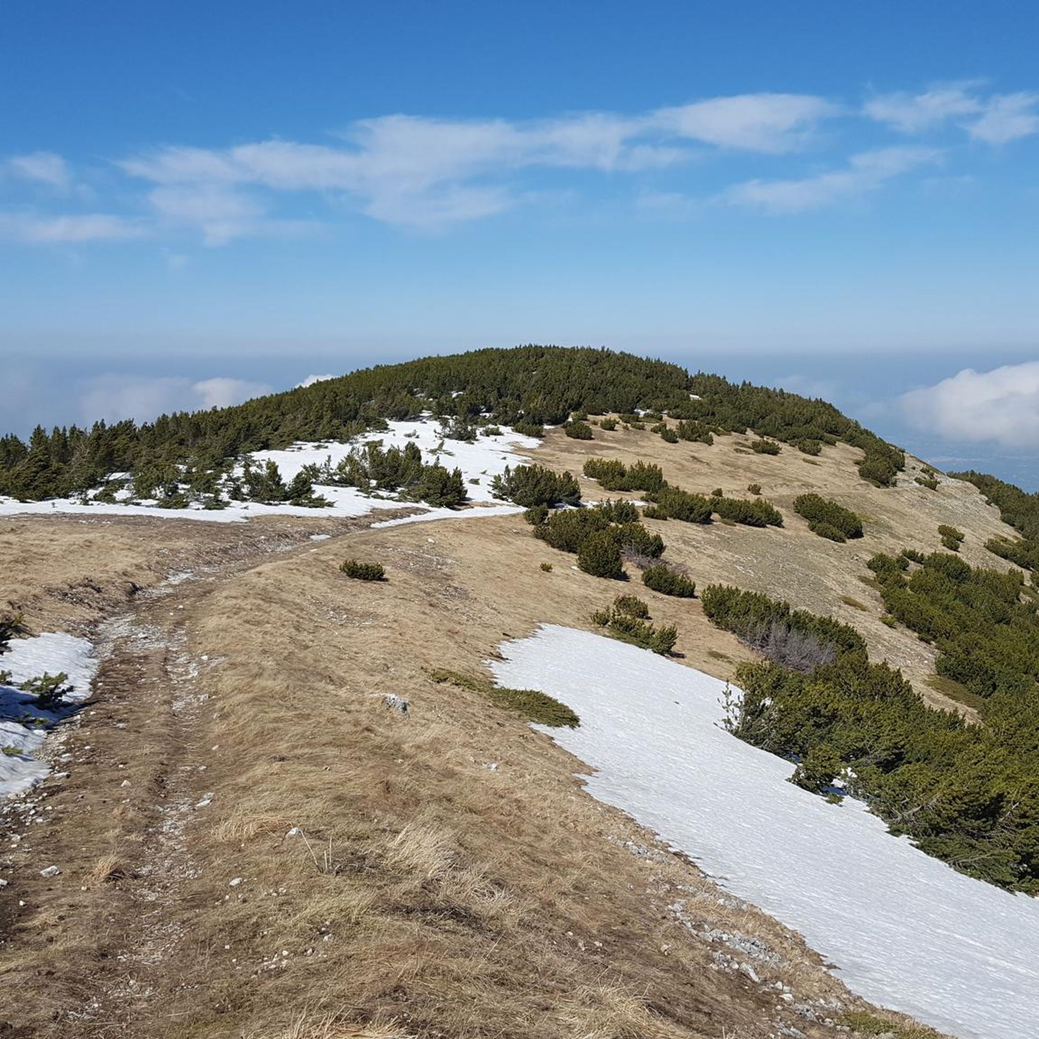
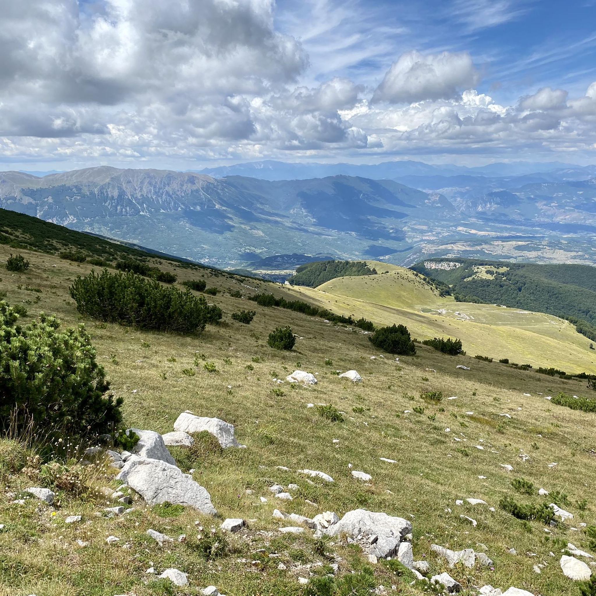
Road cycling routes around Fara San Martino are set within the dramatic landscapes of Italy's Majella National Park. The region features deep gorges, such as the Gole di Fara San Martino, carved by the Verde River, and rugged mountains with significant elevation gains. Cyclists navigate through varied terrain, including mountain passes and areas with pristine river springs. The mountainous environment provides a range of challenging ascents and descents.
Best road cycling routes around Fara San Martino
- The most popular road…
Last updated: July 6, 2026
5.0
(1)
36
riders
67.1km
03:38
1,350m
1,350m
Hard road ride. Very good fitness required. Mostly well-paved surfaces and easy to ride.
20
riders
67.5km
03:48
1,490m
1,480m
Hard road ride. Very good fitness required. Mostly well-paved surfaces and easy to ride.

Sign up for free
5.0
(2)
26
riders
84.5km
04:35
1,730m
1,730m
Hard road ride. Very good fitness required. Mostly well-paved surfaces and easy to ride.
22
riders
Moderate road ride. Good fitness required. Mostly well-paved surfaces and easy to ride.
10
riders
104km
05:57
2,280m
2,270m
Hard road ride. Very good fitness required. Some segments of this route may be unpaved and difficult to ride.
Get access to more routes and recommendations from other explorers.
Sign up for free
Already have an account?
Our route recommendations are based on thousands of hikes, rides, and runs completed by other people on komoot.
Start today with a free account
Your next adventure awaits.
Login or Signup


Tips from the Community

A beautiful village at 767 m. a.s.l. located at the foot of Mount Porrara. Land of orchids.
0
0

Built in the Middle Ages, this gateway is one of the main entrances to the ancient village. On one of its sides, you can read a verse by Gabriele D'Annunzio, which reads: "The city of stone, shone in the clear of May."
0
0

Palena, in Abruzzo, is known for its historic Ducal Castle, dating back to the 12th century. Although affected by earthquakes and conflicts, the castle has been restored maintaining its majesty. Today it represents a symbol of resistance and beauty in the Maiella region.
0
0
Lama dei Peligni, located in the heart of the Maiella National Park in Abruzzo, is famous as the "country of chamois". Immersed in an environment rich in biodiversity, it boasts landscapes including oak groves, steep crags and high plains.
0
0
This is a beautiful stretch of road between Corpi Santi and Casoli, from where you can admire Lake Casoli. The road is in good condition.
0
0

Originally known as Porta della Fiera, it was rebuilt in 1841 in its current form; it faces via Occidentale, former state road 363, next to the Torre Adriana. The structure, articulated around a round arch, has a regular stone facing only on the external facade. On the top there is a pediment with a coat of arms and an inscription commemorating the date of inauguration of the road.
0
0

You can get here by train with your bike and go for a ride.
8
0
It presents a floristic richness due to the low anthropic disturbance and the enormous environmental heterogeneity
0
0
Frequently Asked Questions
How many road cycling routes are available around Fara San Martino?
There are over 35 road cycling routes documented on komoot around Fara San Martino. These routes are primarily categorized as moderate to difficult, reflecting the region's mountainous terrain and significant elevation changes.
What kind of terrain can I expect on road cycling routes in Fara San Martino?
Road cycling in Fara San Martino is characterized by dramatic gorges, rugged mountain landscapes, and scenic passes within the Majella National Park. You can expect challenging ascents and descents, with routes featuring significant elevation gains. While most surfaces are paved, some sections may include unpaved roads.
Are there any easy road cycling routes for beginners or families in Fara San Martino?
The road cycling routes around Fara San Martino are generally geared towards cyclists with moderate to very good fitness, with 9 routes rated moderate and 26 rated difficult. There are no routes specifically classified as easy, so beginners or families with young children might find the terrain challenging due to the significant elevation changes.
What are some notable natural attractions I can see while cycling in the area?
The region is rich in natural beauty. You can cycle past the breathtaking Gole di Fara San Martino, a dramatic canyon carved by the Verde River. Another highlight is the Sorgenti del Fiume Verde, known for its strikingly bright turquoise water and picturesque walking paths. Many routes also offer expansive views of the surrounding Majella National Park and peaks like Passo San Leonardo.
What historical or cultural landmarks can I explore near the cycling routes?
Beyond the natural landscapes, you can explore the charming Centro Storico (Historic Center) of Fara San Martino, with its medieval streets and ancient houses. The ruins of the Abbey of San Martino in Valle, partly carved into the rock face, are hidden within the gorge and offer a glimpse into the region's ancient history. For more historical sites, consider exploring Pacentro Castle or Castello di Roccascalegna, which are also nearby.
When is the best time of year for road cycling in Fara San Martino?
The best time for road cycling in Fara San Martino is typically from spring to early autumn (April to October). During these months, the weather is generally more favorable, with milder temperatures and less chance of snow in the higher elevations, making the mountainous routes more accessible and enjoyable.
Are there any specific routes that offer particularly scenic views or challenging climbs?
Many routes offer panoramic views of the Majella National Park. For challenging climbs and expansive vistas, consider routes that traverse mountain passes like San Leonardo Pass – Majella National Park loop from Passo San Leonardo. Another difficult route, View of Palena – Quarto Grande Plateau loop from Casoli, leads through elevated plateaus with stunning scenery.
What do other road cyclists enjoy most about cycling in Fara San Martino?
The road cycling experience in Fara San Martino is highly rated by the komoot community, with an average score of 4.7 stars from over 40 reviews. Cyclists often praise the dramatic gorges, rugged mountain landscapes, and the variety of challenging routes that offer both demanding climbs and rewarding panoramic views.
Is there public transport access to the cycling routes in Fara San Martino?
While Fara San Martino is accessible, public transport options directly to the start points of all cycling routes might be limited due to the mountainous and rural nature of the Majella National Park. It's advisable to check local bus schedules or consider driving to a suitable starting point with parking facilities.
Are there places to eat or stay in Fara San Martino for cyclists?
Fara San Martino, with its historic center, offers various amenities. You can find local cafes and restaurants to refuel after your rides, often serving regional specialties. There are also accommodation options available, ranging from guesthouses to hotels, catering to visitors exploring the Majella National Park.
Are there any permits required for road cycling within the Majella National Park?
Generally, no specific permits are required for road cycling on public roads within the Majella National Park. However, it's always good practice to respect park regulations, stay on marked routes, and be aware of any specific rules for protected areas. For detailed information, you can visit the Majella National Park Visitor Center in Fara San Martino.
Can I find routes that combine coastal views with mountain cycling?
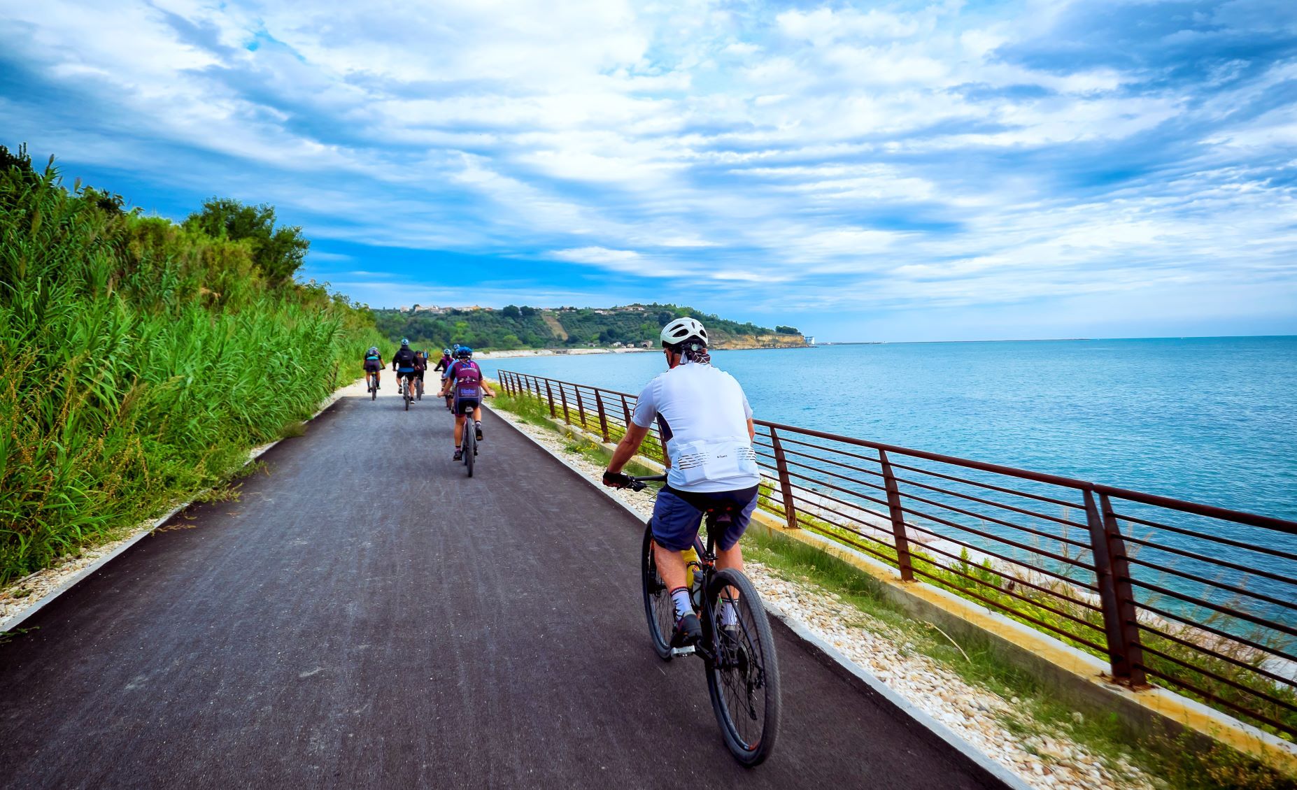
Yes, some routes in the broader region around Fara San Martino offer a diverse experience. For example, the difficult Trabocco Punta Torre – Mouth of the Sangro River loop from Casoli features coastal elements and river mouth scenery, providing a contrast to the typical mountain landscapes.
Most popular attractions around Fara San Martino

Get inspired with the komoot mobile app


Explore more
Browse the best Road cycling routes in other regions.
