The best walks and hikes around Pereto
4.4
(1393)
5,512
hikers
148
hikes
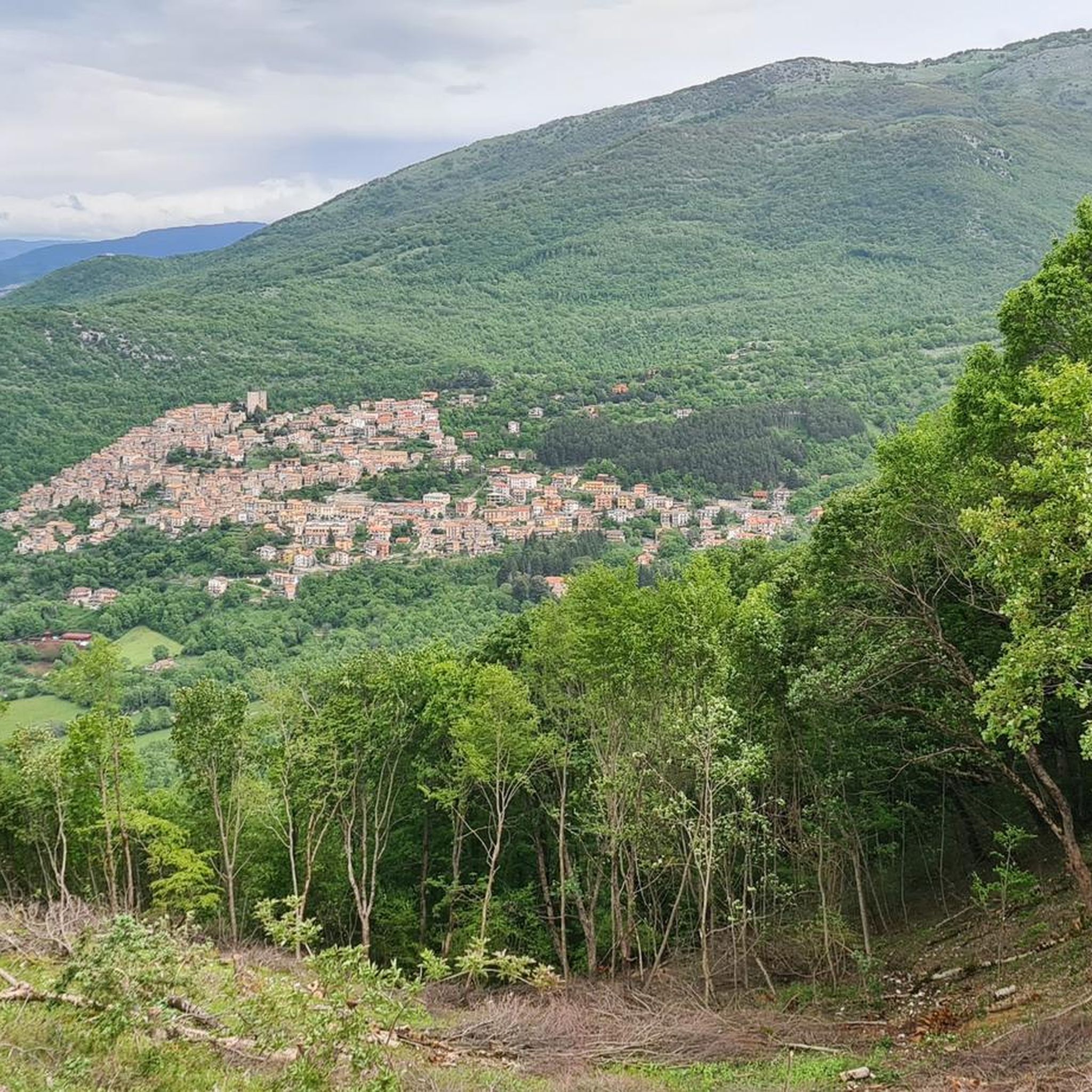
Hiking around Pereto offers a diverse range of trails through varied terrain. The region features elevated areas, such as Monte Midia, providing panoramic views, alongside paths that traverse meadows and historical points. The landscape is characterized by a mix of natural and cultural elements, with routes often including significant elevation changes.
Best hiking trails around Pereto
- The most popular hiking route is Prato dei frati – Cima la Torretta loop from Pereto, a difficult 10.2 miles (16.5 km) trail…
Last updated: October 22, 2026
4.6
(14)
49
hikers
16.4km
05:59
790m
790m
Hard hike. Very good fitness required. Mostly walkable paths. Sure-footedness required.
4.5
(2)
13
hikers
8.18km
02:32
270m
270m
Moderate hike. Good fitness required. Easily walkable paths.

3.5
(2)
8
hikers
12.3km
04:45
860m
860m
Moderate hike. Good fitness required. Easily walkable paths.
3
hikers
8.32km
02:24
200m
200m
Moderate hike. Good fitness required. Easily walkable paths.
11
hikers
8.56km
02:24
170m
170m
Moderate hike. Good fitness required. Easily walkable paths.
Get access to more routes and recommendations from other explorers.
Already have an account?
Our route recommendations are based on thousands of hikes, rides, and runs completed by other people on komoot.
Start today with a free account
Your next adventure awaits.

Tips from the Community

Cima di Vallevona (1,818 m) is the highest peak in the Carseolani Mountains, a subrange of the Abruzzo Apennines located between Abruzzo and Lazio. The most common route to the summit starts from the Sanctuary of Santa Maria dei Bisognosi, but it can also be reached from Pereto and Camerata Nuova. Less common, but equally fascinating, is the route starting from Marsia, in the municipality of Tagliacozzo.
2
0

Panoramic point, going towards Piano del Pozzo you take a very fun downhill path from here.
0
0
Trail 517 clearly visible. The trail that connects the arrival point of the ski lifts is not very visible and the climb is mostly done with the bike on your shoulder
0
0
Entrance to the path which then passes through a valley to descend again into a very technical winding path which comes out onto the Tiburtina Valeria
0
0

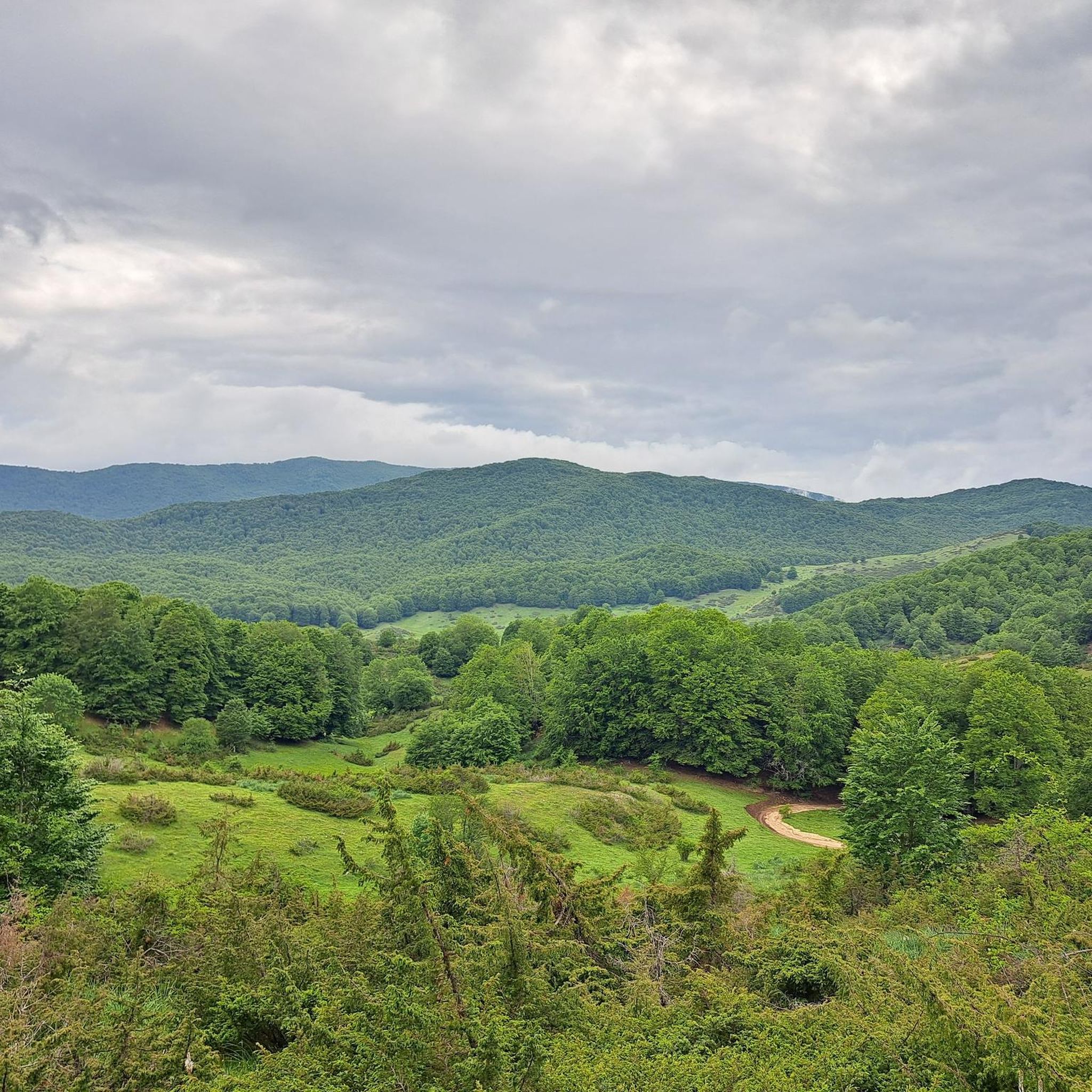
Here the slopes are lessened until they almost disappear and the road runs flat in the middle of the pastures.
3
0

main road from which all the paths wind
2
0
Frequently Asked Questions
How many hiking trails are available around Pereto?
There are over 130 hiking trails in the Pereto region, offering a wide variety of options for different skill levels and preferences. This includes 23 easy, 87 moderate, and 24 difficult routes.
Are there any easy hikes suitable for beginners or families in Pereto?
Yes, Pereto offers 23 easy hiking routes. While specific family-friendly trails aren't detailed, easy routes are generally suitable for those new to hiking or looking for a relaxed walk. Consider exploring paths that traverse meadows or less elevated areas.
Are there any circular hiking routes in Pereto?
Many of the trails around Pereto are designed as loops, allowing you to start and end in the same location. For example, the Piano del Pozzo Mountain Hut – Piano del Pozzo Pond loop from Roccacerro is a moderate 7.7 km circular hike that takes about 2 hours 12 minutes.
What kind of natural attractions can I expect to see while hiking in Pereto?
The Pereto region is rich in natural beauty. Hikers can discover various natural monuments and scenic spots such as the Prato di Camposecco, Campo Minio, and the Old Spring. For those seeking water features, the Rioscuro Stream Waterfalls are also a notable highlight.
Are there any historical or cultural landmarks to explore on the trails?
Yes, hiking around Pereto often combines natural landscapes with historical elements. You might encounter sites like the Sanctuary of the Holy Trinity (Santuario della Santissima Trinità), which offers a glimpse into the region's cultural heritage.
What do other hikers say about the trails in Pereto?
The hiking trails in Pereto are highly regarded by the komoot community, with an average rating of 4.4 stars from over 1,100 reviews. Hikers often praise the diverse terrain, the panoramic mountain views, and the well-maintained paths that connect natural and historical points.
Are there any hikes that lead to mountain summits with great views?
Absolutely. The region features elevated areas like Monte Midia, providing expansive views. You can find trails that lead to prominent summits such as Monte Autore Summit and Monna dell'Orso, offering rewarding panoramic vistas.
What is the typical duration for hikes in Pereto?
Hike durations in Pereto vary significantly depending on the trail's length and difficulty. Easy routes might take an hour or two, while moderate trails like the View from Monte Midia – Monte Midia loop from Marsia can be completed in under 3 hours. More challenging routes, such as the Prato dei frati – Cima la Torretta loop from Pereto, can take nearly 7 hours.
Are there any specific trails that are less frequented, offering a 'hidden gem' experience?
While popularity varies, exploring some of the less-known moderate trails, such as the Piana del Pozzo – Monte Midia loop from Marsia, might offer a quieter experience away from the most popular routes. These trails still provide beautiful scenery and a sense of discovery.
Is there parking available at the trailheads in Pereto?
While specific parking details for every trailhead are not provided, many hiking areas in Italy, especially those near villages or popular natural sites, typically offer designated parking spaces. It's advisable to check local signage or maps for parking options near your chosen starting point.
Can I reach the hiking trails in Pereto using public transport?
Pereto is a small town, and while local bus services might connect it to larger towns, direct public transport access to all trailheads can be limited. For many routes, especially those starting from more remote locations like Marsia or Roccacerro, a car is often the most convenient option.
Most popular attractions around Pereto

Get inspired with the komoot mobile app


Explore more
Browse the best Hikes in other regions.
