The best road cycling routes around Taranta Peligna
4.4
(25)
656
riders
20
rides
Road cycling routes around Taranta Peligna are set within the dramatic landscapes of Italy's Abruzzo region, specifically the Majella National Park. The area features a varied topography with high mountains, deep valleys, and significant passes like Passo San Leonardo. Cyclists encounter a mix of challenging ascents and more moderate terrain, with routes often following the scenic Aventino River Valley. This region provides diverse road cycling opportunities, from demanding climbs to less arduous rides.
Best road cycling routes in Taranta Peligna
…Last updated: July 5, 2026
4.5
(4)
56
riders
36.0km
02:06
840m
840m
Moderate road ride. Good fitness required. Mostly well-paved surfaces and easy to ride.
10
riders
Moderate road ride. Good fitness required. Mostly well-paved surfaces and easy to ride.

Sign up for free
5.0
(1)
36
riders
67.1km
03:38
1,350m
1,350m
Hard road ride. Very good fitness required. Mostly well-paved surfaces and easy to ride.
26
riders
Moderate road ride. Good fitness required. Mostly well-paved surfaces and easy to ride.
22
riders
55.7km
02:49
820m
820m
Moderate road ride. Good fitness required. Mostly well-paved surfaces and easy to ride.
Get access to more routes and recommendations from other explorers.
Sign up for free
Already have an account?
Our route recommendations are based on thousands of hikes, rides, and runs completed by other people on komoot.
Start today with a free account
Your next adventure awaits.
Login or Signup
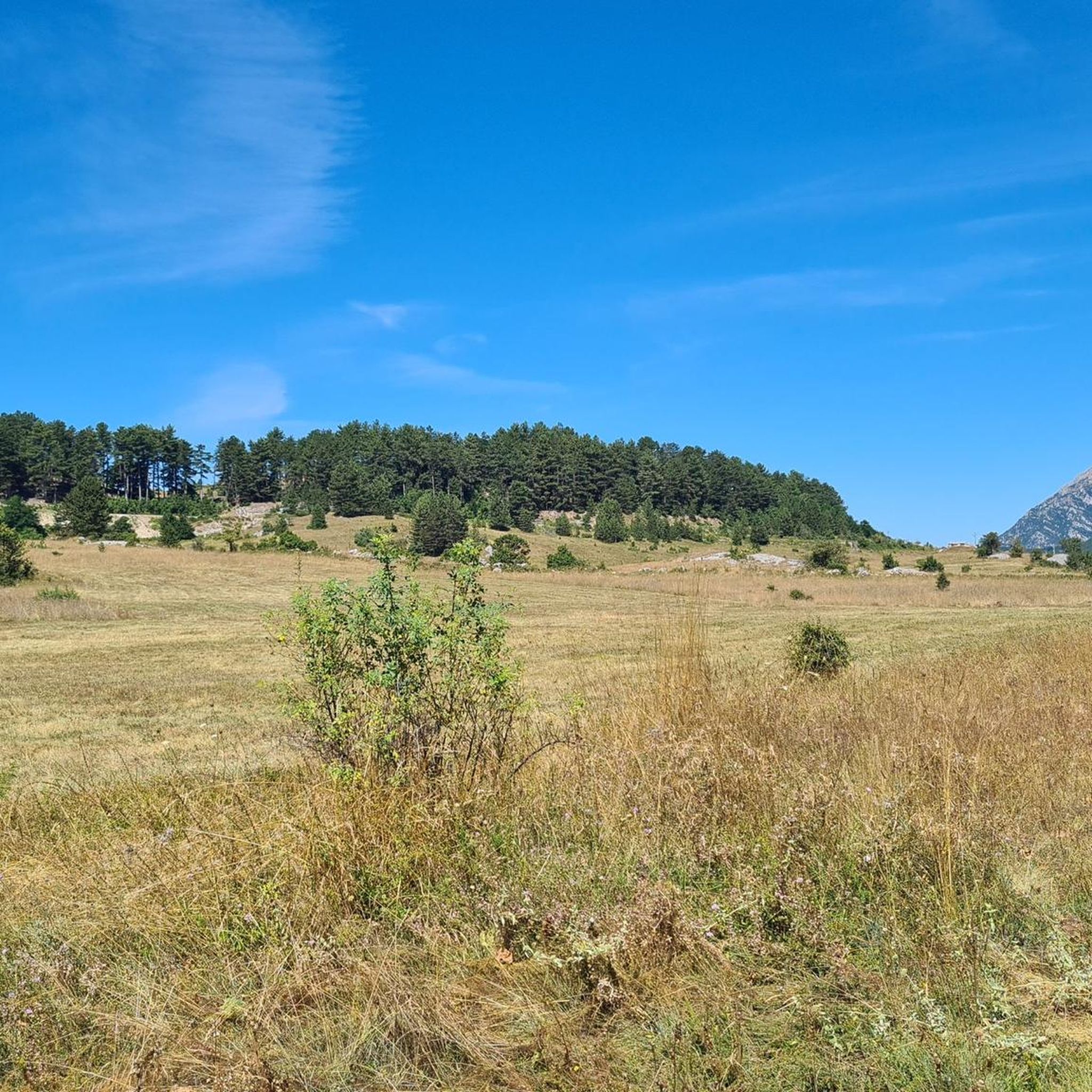
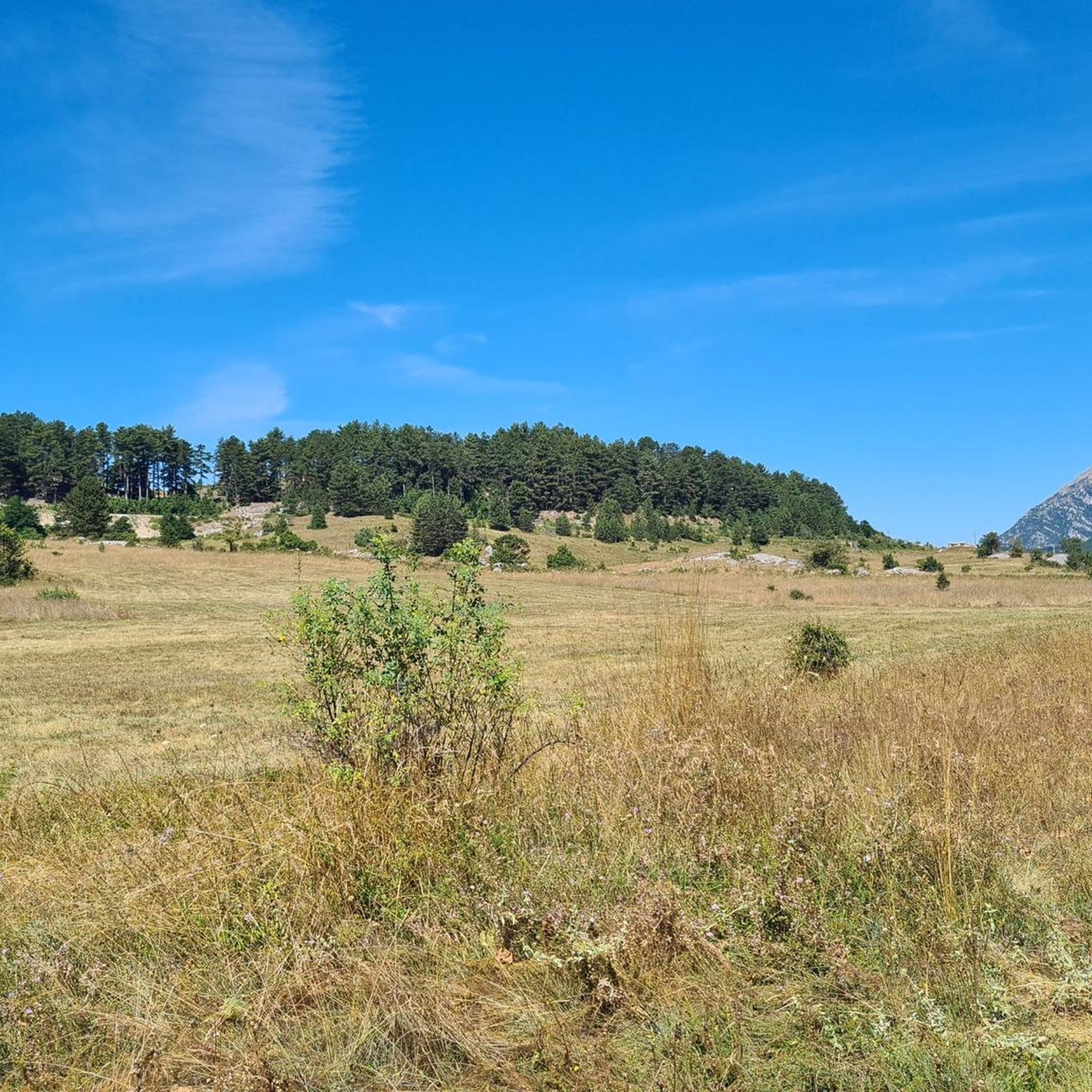
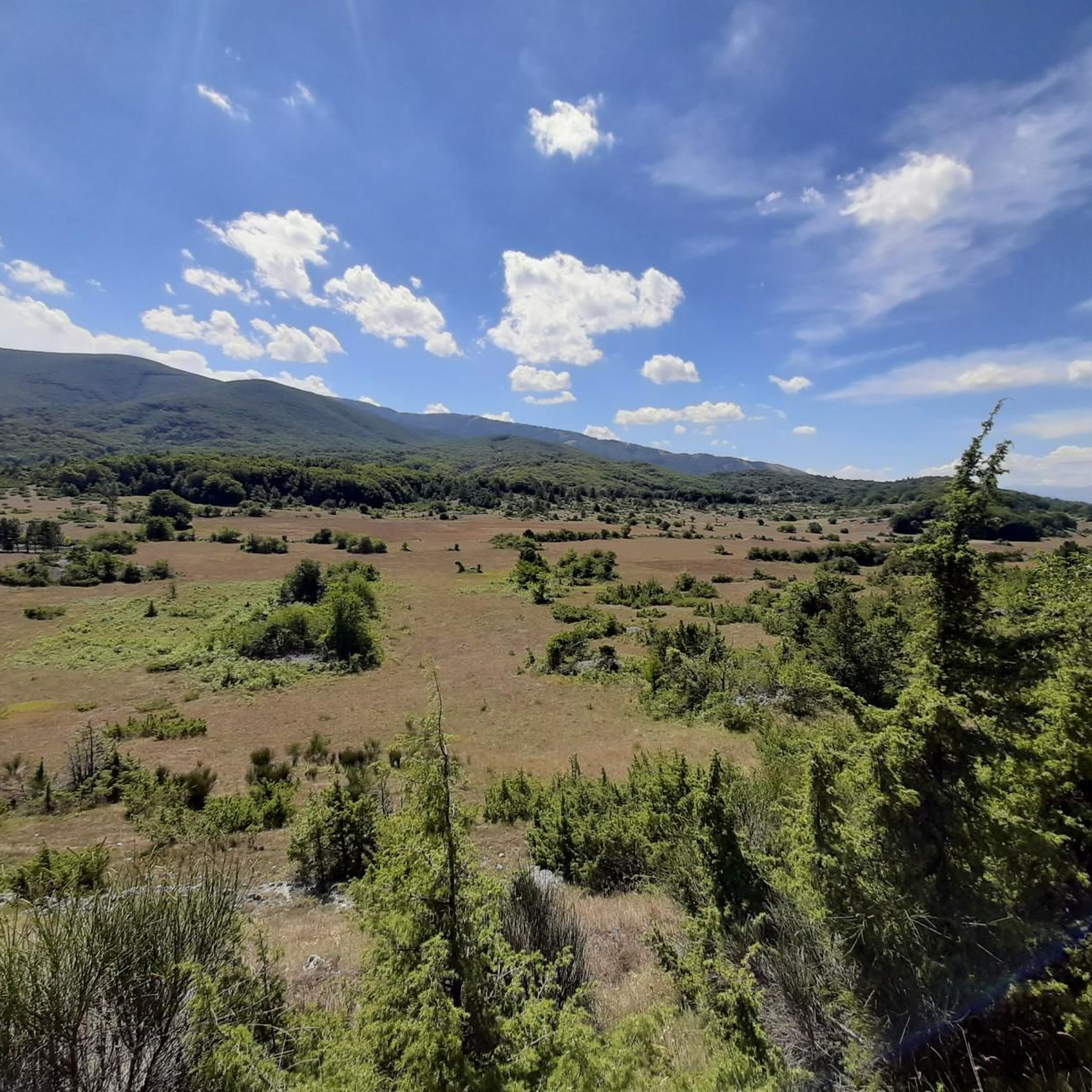
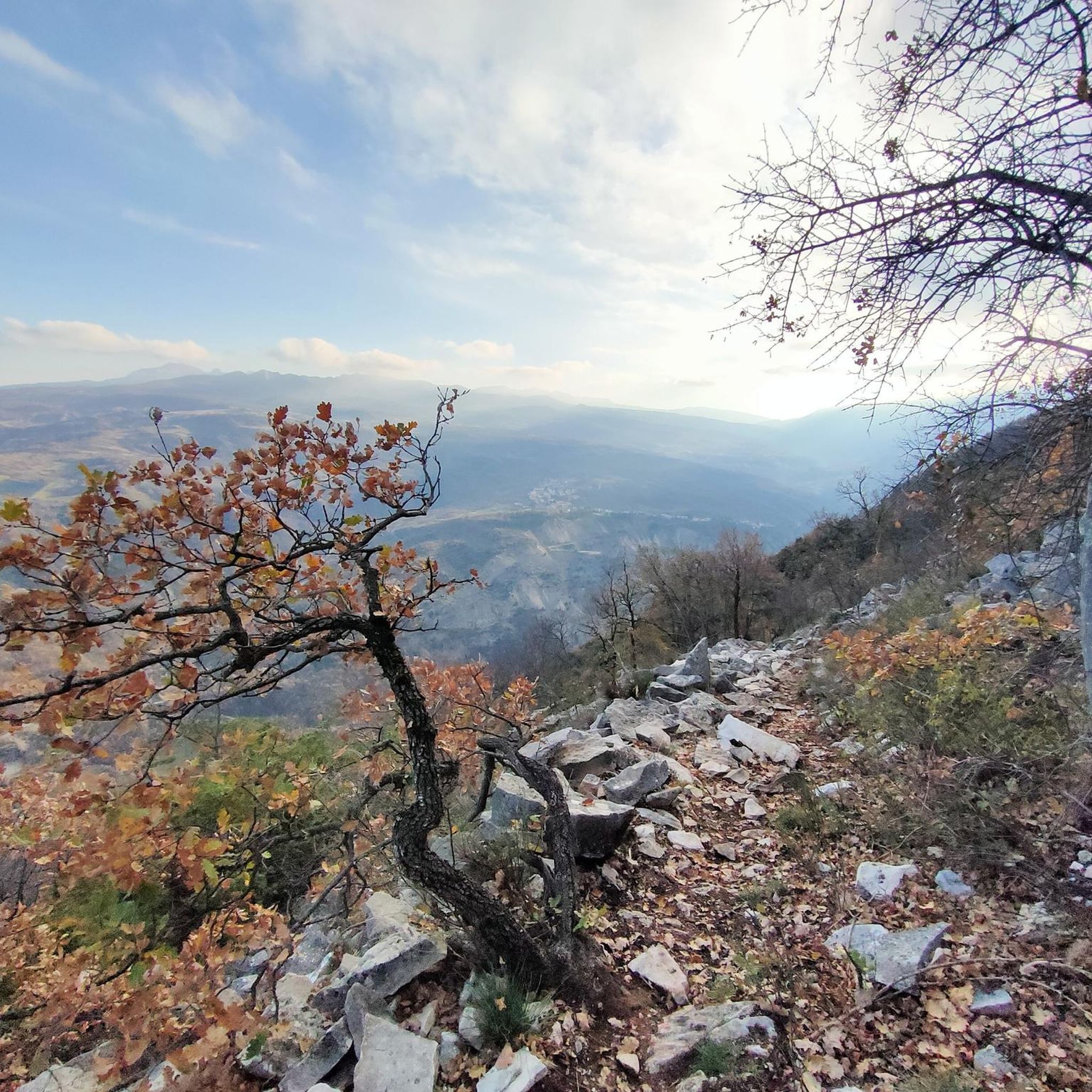
Tips from the Community

A beautiful village at 767 m. a.s.l. located at the foot of Mount Porrara. Land of orchids.
0
0

the view is magnificent
0
0

Interesting, well-restored castle complex with worthwhile views from the tower of the entire old town of the medieval village of Pacentro and the beautiful surroundings.
0
0

Murals depicting the environment and customs of the village of the Maiella National Park
0
0
The climb ends at 1280 meters above sea level at Passo San Leonardo
0
0

spectacular places, lots of wind.
0
0
I ride with my leg always in shot
1
1

The murals of Sant'Eufemia a Maiella, the work of the Trentino artist Liberio Furlini since 2013, portray daily scenes from the past, narrating the history of the town. While walking, you can also find WI-FI near the fountain.
0
0
Frequently Asked Questions
How many road cycling routes are available around Taranta Peligna?
There are over 18 road cycling routes in the Taranta Peligna area, offering a diverse range of experiences from moderate to difficult. These routes are highly rated by the komoot community, with an average score of 4.6 stars.
What are the typical difficulty levels for road cycling routes in Taranta Peligna?
The routes around Taranta Peligna primarily feature moderate and difficult grades. You'll find 12 moderate routes, perfect for a balanced ride, and 6 difficult routes for those seeking challenging ascents through the mountainous terrain of the Majella National Park.
When is the best time of year for road cycling in Taranta Peligna?
The region's varied topography means cycling is enjoyable across different seasons. For tackling significant ascents like Passo San Leonardo, late spring to early autumn generally offers the most favorable weather conditions. The higher altitudes can be cooler, while the valleys provide pleasant riding.
Are there any family-friendly road cycling routes in Taranta Peligna?
While many routes in the immediate mountainous area are moderate to difficult, the broader region offers options. For less arduous rides, the Valle Peligna, a plateau at 400-500 meters above sea level, provides cycling without excessive slopes, which might be more suitable for families or those preferring a gentler pace.
What kind of natural features and views can I expect along the road cycling routes?
Road cycling routes in Taranta Peligna offer stunning views of the Majella National Park, including high mountains, lush valleys, and the picturesque Aventino River Valley. You'll encounter significant passes like Passo San Leonardo, and some routes provide panoramic vistas from points like 'Madonnina'.
Are there any circular road cycling routes available?
Yes, many routes around Taranta Peligna are designed as loops. For example, you can explore the Cansano e Pacentro – loop from Campo di Giove, or the challenging View of Palena – Scenic Road Above Lettopalena loop from Fara San Martino.
What are some notable landmarks or points of interest along the cycling routes?
Beyond the natural beauty, you might encounter significant peaks such as Monte Amaro Summit and Blockhaus Peak. The region also features the dramatic Gorges of Fara San Martino and the unique Parco Fluviale delle Acquevive, known for its crystal-clear springs.
What is the road quality like for cycling in the Taranta Peligna area?
The region offers a mix of paved surfaces. While many routes feature well-paved sections suitable for road bikes, some segments might include unpaved sections, especially as you venture into more remote areas of the Majella National Park. It's advisable to check specific route details for surface conditions.
Are there any specific regulations or permits required for cycling in Majella National Park?
The Majella National Park has identified numerous routes for cycle tourism. While general road cycling on public roads typically doesn't require special permits, it's always recommended to respect park regulations, stay on designated paths, and be mindful of wildlife. For specific details on cycling regulations within the park, it's best to consult the official Majella National Park authority.
Where can I find parking for cyclists in Taranta Peligna?
Taranta Peligna, being a hub for outdoor activities, generally offers parking options within the village. For specific trailheads, parking availability can vary. It's often possible to find parking near the starting points of popular routes or in designated areas within the town center before heading out on your ride.
Can I reach Taranta Peligna by public transport with my bike?
Connecting to Taranta Peligna by public transport with a bike can be challenging, as options may be limited and vary by season. While some regional buses or trains might allow bikes, it's crucial to verify specific policies and schedules with local transport providers in advance, especially if traveling from further afield.
Are there any cafes, pubs, or accommodation options in Taranta Peligna suitable for cyclists?
Taranta Peligna, as a small mountain village, offers local amenities including cafes and traditional eateries where cyclists can refuel. Accommodation options range from guesthouses to small hotels. It's a good idea to check availability and opening hours, especially during off-peak seasons, to ensure you have a comfortable stop or stay.
Most popular attractions around Taranta Peligna

Get inspired with the komoot mobile app


Explore more
Browse the best Road cycling routes in other regions.
