The best road cycling routes around Colledimacine
4.6
(6)
157
riders
12
rides
Road cycling routes around Colledimacine are characterized by rolling hills and valleys, with many paths offering scenic viewpoints over the surrounding landscape. The region features varied terrain, including routes that traverse gorges and ascend to elevated positions. Road cyclists can expect a mix of climbs and descents across this area.
Best road cycling routes around Colledimacine
- The most popular road cycling route is Scenic Road Above Lettopalena – View of Palena loop from Taranta Peligna, a 42.7 miles (68.8…
Last updated: July 5, 2026
5.0
(1)
33
riders
66.6km
03:35
1,340m
1,340m
Hard road ride. Very good fitness required. Mostly well-paved surfaces and easy to ride.
3.0
(1)
19
riders
49.7km
02:50
1,030m
1,030m
Hard road ride. Very good fitness required. Mostly well-paved surfaces and easy to ride.

Sign up for free
5.0
(2)
24
riders
84.5km
04:35
1,730m
1,730m
Hard road ride. Very good fitness required. Mostly well-paved surfaces and easy to ride.
22
riders
Moderate road ride. Good fitness required. Mostly well-paved surfaces and easy to ride.
8
riders
48.8km
03:38
1,020m
1,020m
Hard road ride. Very good fitness required. Some segments of this route may be unpaved and difficult to ride.
Get access to more routes and recommendations from other explorers.
Sign up for free
Already have an account?
Our route recommendations are based on thousands of hikes, rides, and runs completed by other people on komoot.
Start today with a free account
Your next adventure awaits.
Login or Signup
Tips from the Community

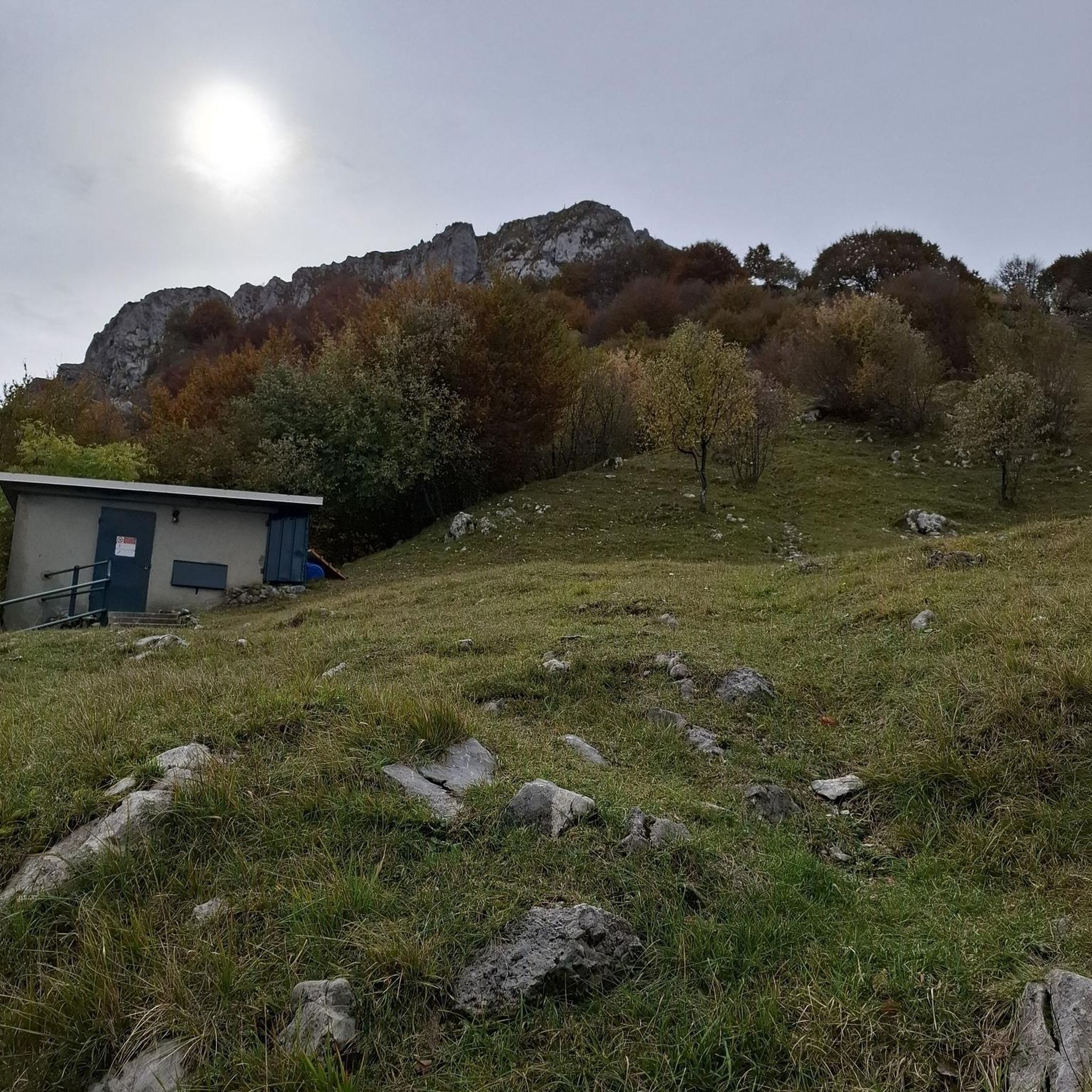
Palena, in Abruzzo, is known for its historic Ducal Castle, dating back to the 12th century. Although affected by earthquakes and conflicts, the castle has been restored maintaining its majesty. Today it represents a symbol of resistance and beauty in the Maiella region.
0
0
Lama dei Peligni, located in the heart of the Maiella National Park in Abruzzo, is famous as the "country of chamois". Immersed in an environment rich in biodiversity, it boasts landscapes including oak groves, steep crags and high plains.
0
0

You can get here by train with your bike and go for a ride.
8
0

It presents a floristic richness due to the low anthropic disturbance and the enormous environmental heterogeneity
0
0
At the foot of Lama dei Peligni is the Aventino river, which flows in the homonymous valley.
0
0
Panoramic road in the Majella park.
10
1

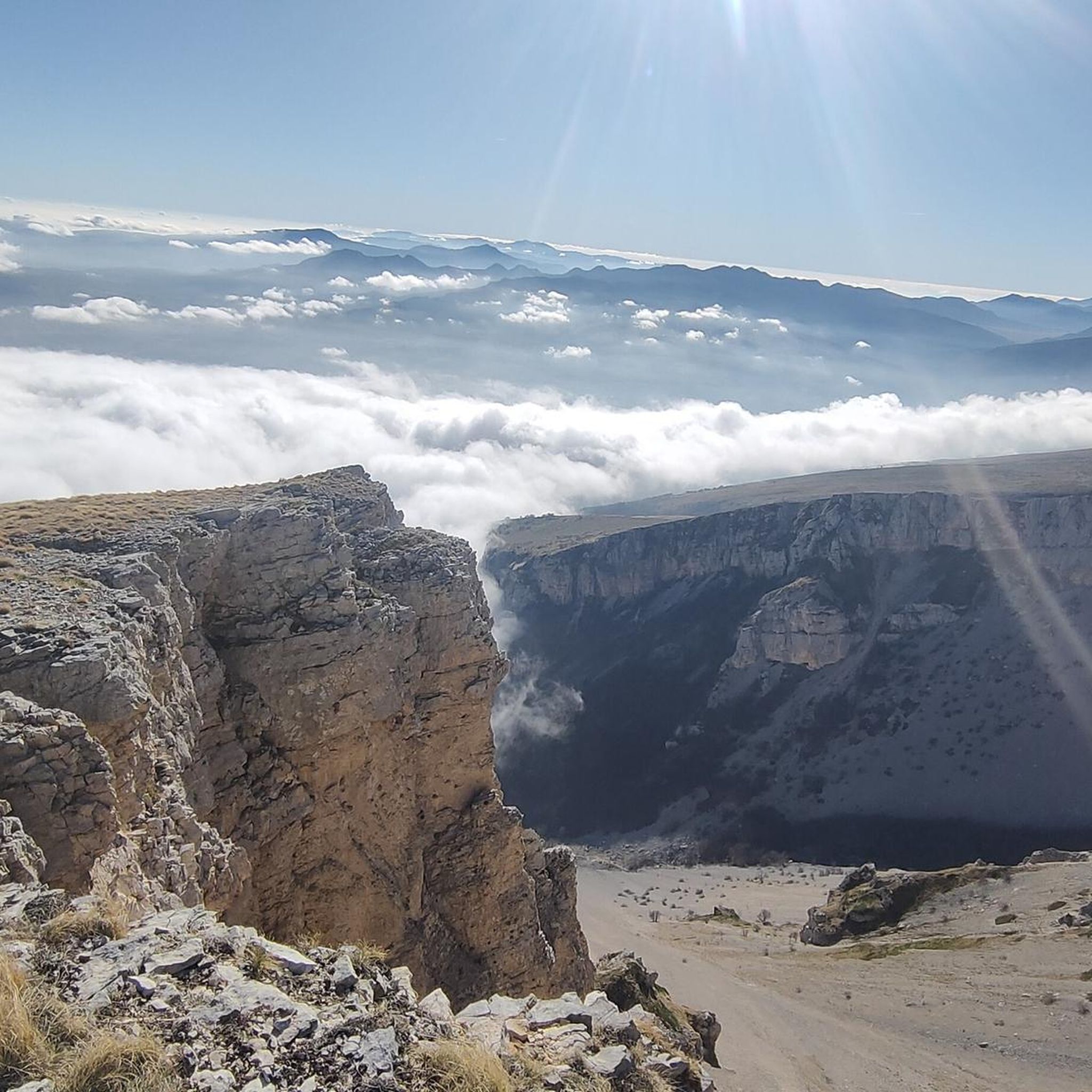
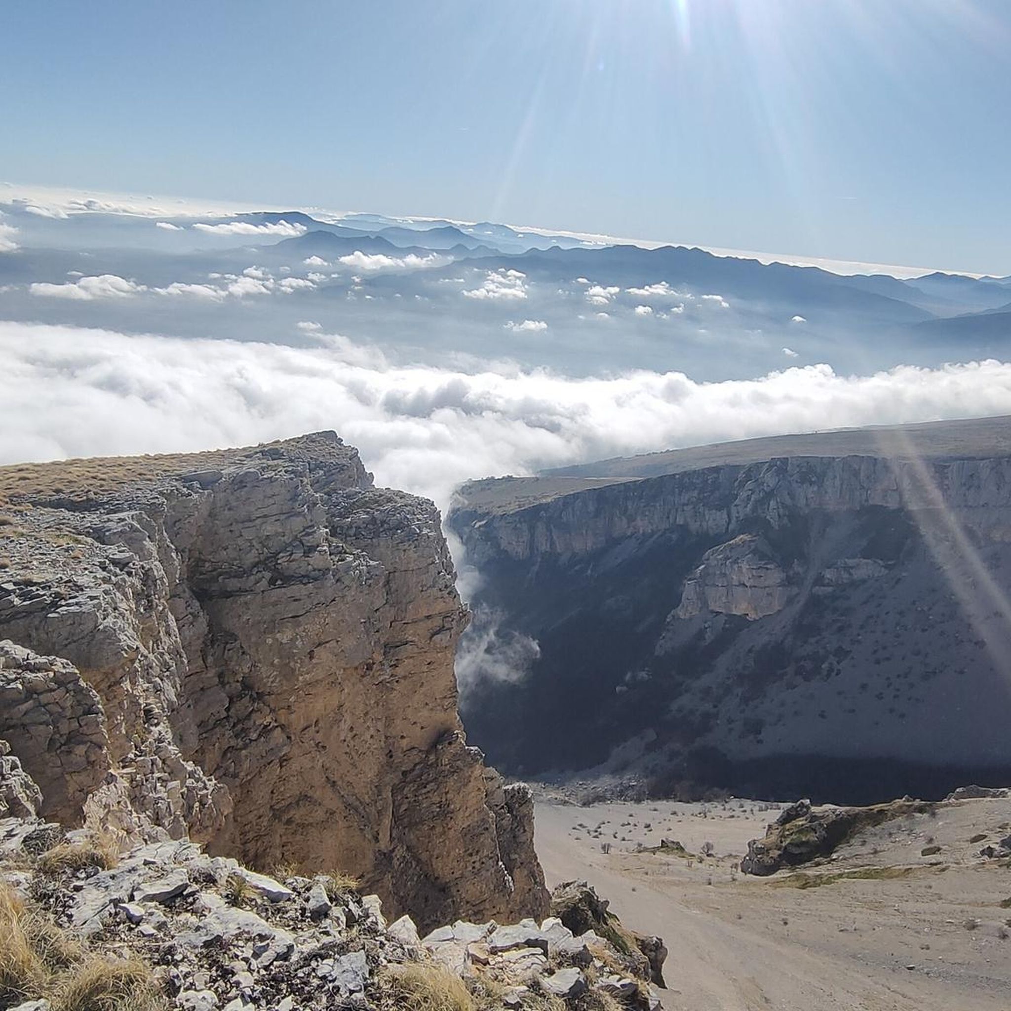
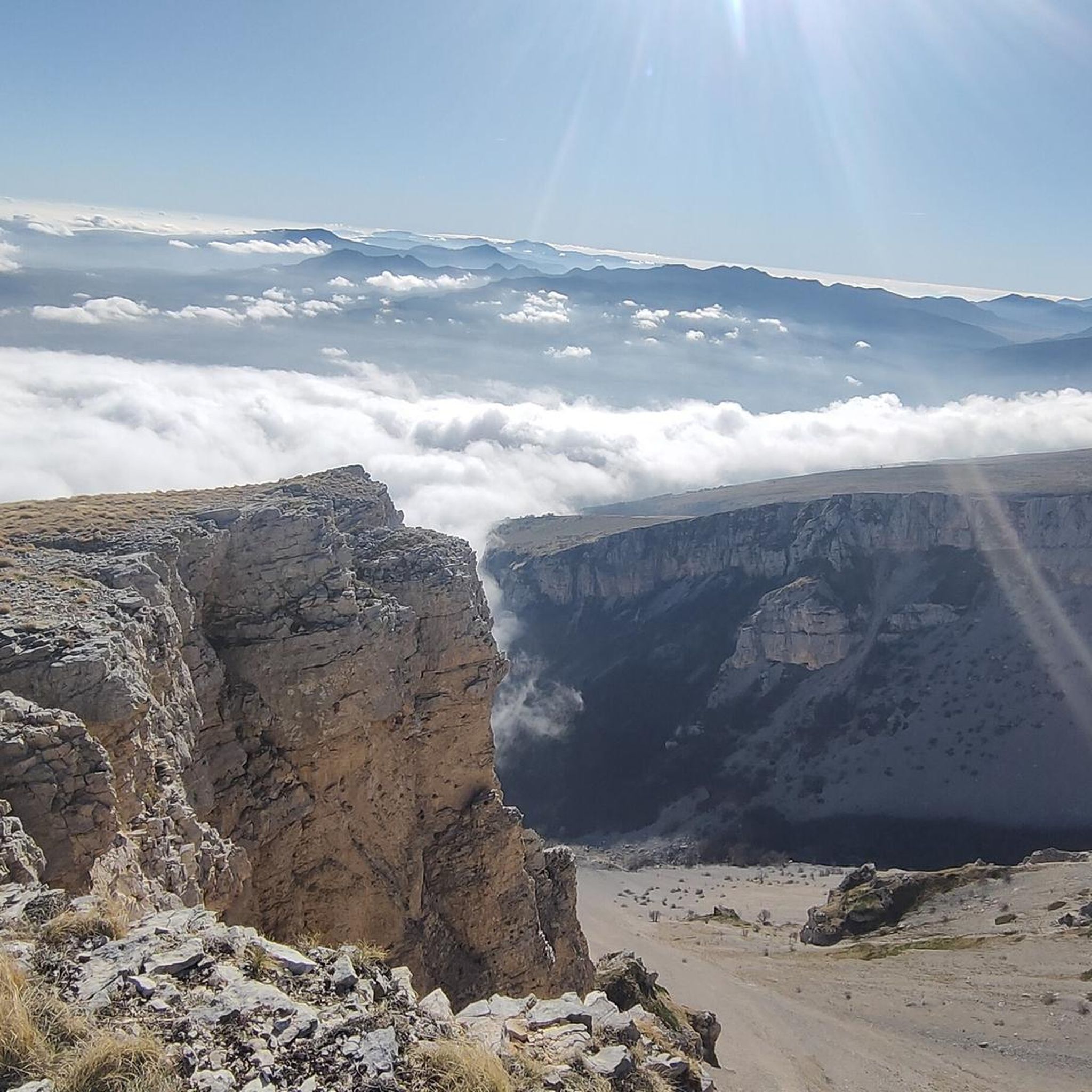
Between Palena and Lama dei Peligni the road is very scenic. South of the Majella National Park, slightly uphill (slightly downhill from Palena) with a view of the upper Aventine Valley.
3
0
The position of the castle is strategic, perched on top of a rocky ledge. Legend has it that, in 1646, the then baron of the castle (Corvo de Corvis) demanded the application in the town of the Ius primae noctis (all the women of the town to spend their wedding night with him instead of with their newly married consort ). For this reason he was assassinated.
1
0
Frequently Asked Questions
What kind of terrain can I expect when road cycling around Colledimacine?
Road cycling in Colledimacine is characterized by rolling hills and valleys. You'll encounter a mix of climbs and descents, with routes traversing gorges and ascending to elevated positions, offering varied terrain for cyclists.
Are there challenging road cycling routes in Colledimacine?
Yes, Colledimacine offers several challenging road cycling routes. Out of the 10 routes available, 7 are rated as difficult, featuring significant elevation gains. For example, the View of Palena – Scenic Road Above Lettopalena loop from Fara San Martino covers over 82 km with substantial climbing.
Are there any moderate road cycling options for less experienced riders?
While many routes are challenging, there are moderate options available. The Rolling Hills Route – Gorges of Fara San Martino loop from Fara San Martino is a moderate 51.8 km trail, and the Rolling Hills Route loop from Lama dei Peligni is another moderate option at 35.8 km.
What are some of the most scenic viewpoints along the road cycling routes?
Many routes offer extensive views over the surrounding landscape. The Scenic Road Above Lettopalena – View of Palena loop from Taranta Peligna is known for its panoramic vistas above Lettopalena and Palena. You can also expect scenic sections through gorges, such as the Gorges of Fara San Martino.
What can I see along the road cycling routes in Colledimacine?
Beyond the natural beauty, you can explore several points of interest. Routes may pass near the dramatic Gorges of Fara San Martino, the serene Vallone di Santo Spirito, or offer views of Mount Porrara. Some routes also offer glimpses of cultural sites like the Hermitage of Madonna dell'Altare.
When is the best time of year for road cycling in Colledimacine?
The spring and autumn months generally offer the most pleasant conditions for road cycling in Colledimacine, with milder temperatures and beautiful scenery. Summer can be warm, especially on exposed climbs, while winter typically brings colder weather and potential snow at higher elevations.
Are there any road cycling routes that pass by waterfalls?
Yes, the Waterfall in Gola di Pennadomo – Castello di Roccascalegna loop from Pennadomo is a difficult 48.8 km route that specifically includes a waterfall in Gola di Pennadomo as a point of interest.
What do other road cyclists say about the routes in Colledimacine?
The road cycling routes in Colledimacine are highly rated by the komoot community, with an average score of 4.7 stars. Cyclists often praise the varied terrain, the extensive views, and the opportunities to explore both rolling hills and dramatic gorges.
Are the road cycling routes in Colledimacine suitable for families?
Given that most routes are rated as moderate to difficult, with significant elevation changes, they may not be ideal for young families or very inexperienced riders. However, more experienced cycling families might enjoy the challenge and scenery.
Where can I find parking for road cycling routes in Colledimacine?
Many road cycling routes in Colledimacine start from towns such as Taranta Peligna, Fara San Martino, Pennadomo, or Lama dei Peligni. You can typically find parking facilities within these towns to begin your ride.
Are there any long-distance road cycling routes in the Colledimacine area?
Yes, Colledimacine offers several long-distance road cycling routes. For instance, the View of Palena – Scenic Road Above Lettopalena loop from Fara San Martino is over 82 km, and the Scenic Road Above Lettopalena – View of Palena loop from Taranta Peligna is nearly 69 km, providing extensive rides.
Can I access the road cycling routes using public transport?
While specific public transport links to every trailhead are not detailed, the routes generally start from established towns like Fara San Martino or Taranta Peligna. It's advisable to check local bus or train schedules for connections to these starting points, as regional public transport can vary.
Most popular attractions around Colledimacine

Get inspired with the komoot mobile app


Explore more
Browse the best Road cycling routes in other regions.
