The best cycling routes around Villa Santa Maria
4.8
(4)
98
riders
19
rides
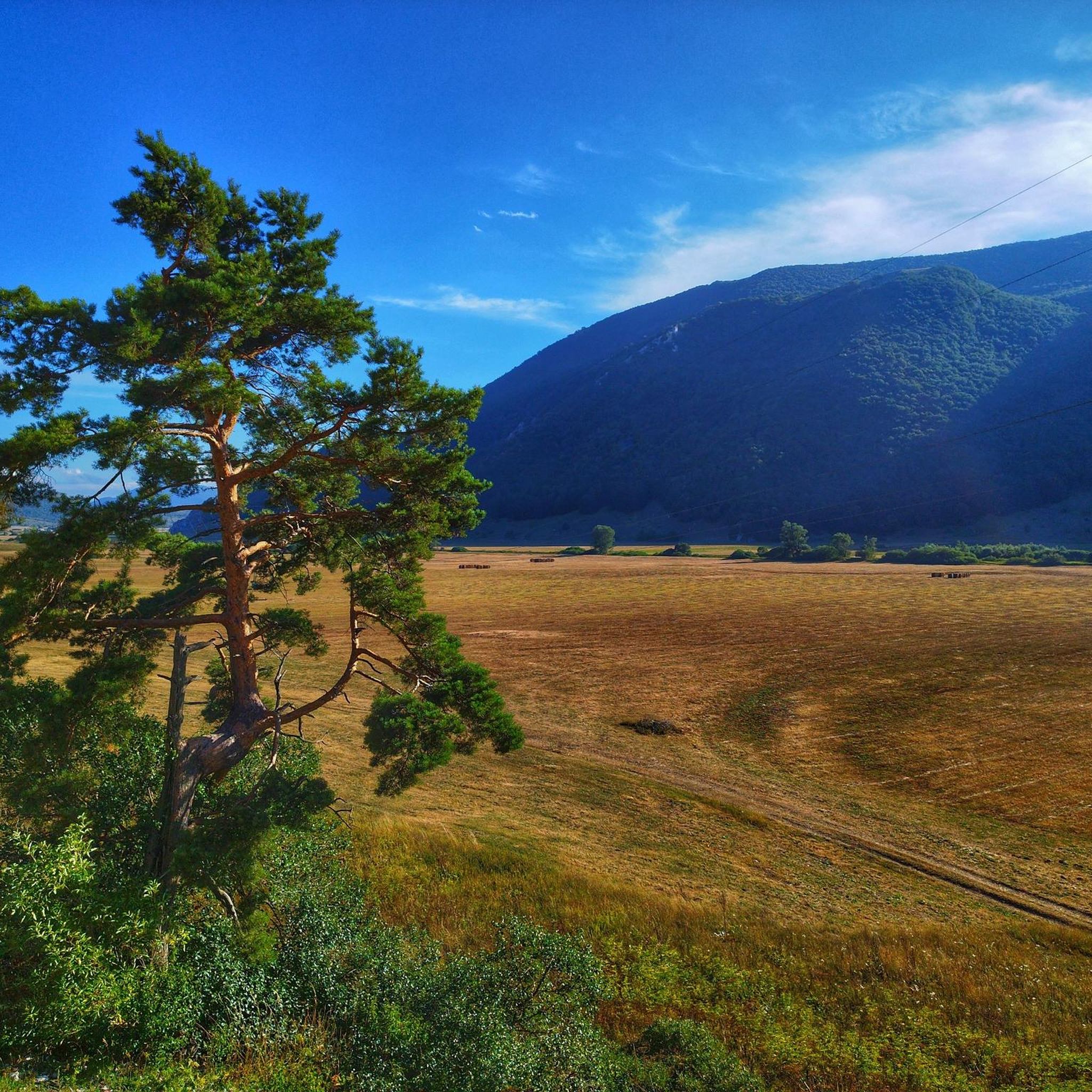
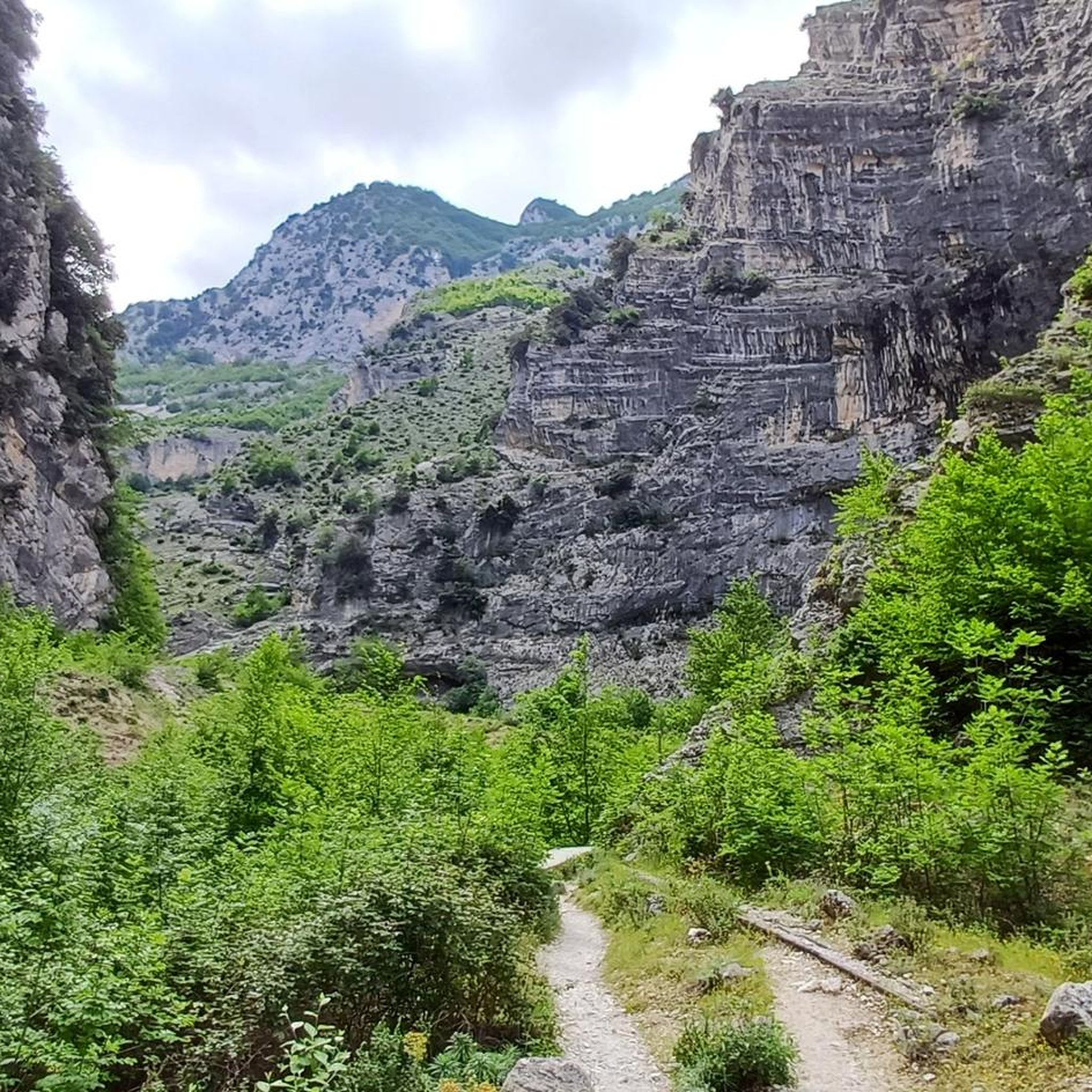
Touring cycling around Villa Santa Maria offers routes through a landscape characterized by rolling hills, river valleys, and historical villages. The terrain often includes significant elevation changes, providing challenging climbs and rewarding descents. This region features a mix of open countryside and areas near water bodies like the Sangro River and Lago di Sant'Angelo. The routes navigate through the Abruzzo region, known for its rugged beauty.
Best touring cycling routes around Villa Santa Maria
- The most popular touring cycling route…
Last updated: August 25, 2026
15.7km
01:29
550m
550m
Hard bike ride. Very good fitness required. You may need to push your bike for some segments of this route.
9
riders
60.7km
04:18
1,150m
1,150m
Hard bike ride. Very good fitness required. Mostly paved surfaces. Suitable for all skill levels.

Sign up for free
8
riders
126km
08:19
1,430m
1,430m
Hard bike ride. Very good fitness required. Mostly paved surfaces. Suitable for all skill levels.
7
riders
54.5km
03:54
1,120m
1,120m
Hard bike ride. Very good fitness required. Mostly paved surfaces. Suitable for all skill levels.
7
riders
20.3km
01:27
420m
420m
Moderate bike ride. Good fitness required. Mostly paved surfaces. Suitable for all skill levels.
Get access to more routes and recommendations from other explorers.
Sign up for free
Already have an account?
Our route recommendations are based on thousands of hikes, rides, and runs completed by other people on komoot.
Start today with a free account
Your next adventure awaits.
Login or Signup


Tips from the Community

Suitable for Gravel or MTB, less so for road bikes on the dirt sections
0
0

Riserva Naturale Punta dell'Acquabella: a wild coastal paradise 🌿🌊 One of the absolute ecological pearls along this route is the Riserva Naturale Punta dell'Acquabella. While many coastal towns are busy and touristy, here you'll discover a hidden oasis where rugged cliffs, fragrant pine forests, and an azure sea come together perfectly. Why you should definitely stop here: 💧 Crystal clear water The name Acquabella – “beautiful water” – says it all. The sheltered bay boasts remarkably clear seawater that invites a refreshing dip. 🎨 Art along the route The reserve lies right next to the Galleria Aurelia. Just before you dive into the tunnel, you'll cycle past impressive murals by street artist Millo, a tribute to the local war resistance. 🏚️ An abandoned fishing village in the green Hidden behind the pebble beach lie the ruins of Borgo dell’Acquabella. This small fishing hamlet was abandoned in the '70s and has since been slowly reclaimed by nature. 🚴 A place made for cyclists By car, this hidden bay is barely accessible due to the narrow and steep access roads. By bike, you reach the reserve via the Via Verde and roll almost effortlessly to this unique coastal spot. A short stop that feels like a discovery: wild nature, sea views, and a piece of hidden history in one place.
5
0
Trabocco Mucchiola – Picnic with sea view Trabocco Mucchiola is a lovely place to take a break during your tour along the Via Verde dei Trabocchi. Next to the cycle path, there is a shady picnic area with tables, ideal for resting, eating something, or simply enjoying the view of the Adriatic Sea. The charming wooden trabocco stands on the rocky Punta Mucchiola and is one of the first fishing platforms you will encounter south of Ortona. Thanks to its splendid location, this is also a beautiful stop along the route to capture a beautiful memory.
4
0
Trabocco Torre Il Sole – The wooden spider above the Adriatic Sea 🌊🪵 Along the Via Verde dei Trabocchi, you'll encounter special wooden fishing platforms, but the Trabocco Torre Il Sole is a real eye-catcher. This impressive 'wooden spider' hovers on high stilts above the waves, forming one of the most photogenic spots along the coast of San Vito Chietino. The trabocchi were built centuries ago not by seafarers, but by local farmers. They sought a safe way to fish without having to venture onto the dangerous open sea. With long wooden arms, nets, and an ingenious construction, they could catch deep-sea fish from the shore. Built from strong and flexible Aleppo pine wood, these special structures have defied the salty sea air and powerful coastal winds for generations. A perfect place to pause, enjoy the view, and take an unforgettable photo with the azure Adriatic Sea as a backdrop.
1
0
Imagine: the Adriatic Sea shimmering beside you, a fresh sea breeze on your face, and an endless cycle path winding along the coast. The Via Verde dei Trabocchi is one of those routes where you don't actually want the ride to end. This cycle path, over 50 kilometers long and largely flat, follows a former railway line and takes you along one of the most beautiful coastal stretches of Abruzzo. Along the way, you'll pass the iconic trabocchi: impressive wooden fishing platforms that seem to float above the sea on stilts. With their long arms and nets, they stand out against the horizon like gigantic wooden works of art.
5
0
The Ciclovia Adriatica in Abruzzo (better known as Bike to Coast) is a 131-kilometer cycle path that covers the entire coastline of the Abruzzo region. The route runs from Martinsicuro (coastal border with Marche) to San Salvo (border with Molise). The route is mostly flat, mostly car-free, and crosses 19 coastal municipalities.
5
0
Interesting facts about the location: Family heirloom: this specific trabocco was built in 1887 by the Verì family. To this day, the structure is still in the hands of their great-grandchildren. Floating restaurant: Nowadays, the platform serves as a unique fish restaurant. You literally dine on a wooden platform above the waves. In the middle of the restaurant, there is even a section of transparent glass floor that allows you to see the Adriatic Sea splashing beneath your feet while you eat. Marathon lunch: If you want to eat here, you need to significantly adjust your Komoot planning. They work with an extensive fixed fish menu (approx. €60 - €70 p.p.) of no less than 11 courses. Lunch starts punctually at 1:00 PM for all guests simultaneously and lasts at least 3 hours. Plan your time and enjoy !
5
0
Imagine: the Adriatic Sea shimmering beside you, a fresh sea breeze on your face, and an endless cycle path winding along the coast. The Via Verde dei Trabocchi is one of those routes where you don't really want the ride to end. This cycle path, over 50 kilometers long and largely flat, follows a former railway line and takes you along one of the most beautiful coastal stretches of Abruzzo. Along the way, you'll pass the iconic trabocchi: impressive wooden fishing platforms that seem to float on the sea on stilts. With their long arms and nets, they stand out against the horizon like gigantic wooden works of art. Thanks to the flat course, this route is suitable for almost everyone, from recreational cyclists to avid mileage eaters. Along the way, charming beaches, atmospheric villages, and countless spots beckon where you can stop for an espresso, an ice cream, or a fresh fish lunch with a sea view. The Via Verde dei Trabocchi is not just a cycle path, but an experience that effortlessly combines nature, culture, and relaxation. A route you must cycle at least once.
5
0
Frequently Asked Questions
What is the general difficulty level of touring cycling routes around Villa Santa Maria?
Touring cycling around Villa Santa Maria is primarily suited for experienced riders. Out of 14 available routes, 12 are classified as difficult, featuring significant elevation changes and challenging climbs. There are 2 moderate routes, such as the Lago di Sant'Angelo – View of Casoli loop from Gessopalena, which might be more accessible.
Are there any family-friendly touring cycling routes near Villa Santa Maria?
While there are no routes specifically classified as 'easy' for touring cycling in Villa Santa Maria, two routes are rated as moderate. The Lago di Sant'Angelo – View of Casoli loop from Gessopalena, at 12.6 miles (20.3 km), offers lake views and rural landscapes. These might be suitable for families with older, more experienced children who are comfortable with some elevation.
What scenic viewpoints or historical sites can I explore while touring cycling near Villa Santa Maria?
The region offers several points of interest. You can cycle past the impressive Castello di Roccascalegna, a medieval castle perched on a rock. Other notable sites include the Convent of San Pasquale (Atessa) and the Church of Saint Peter. Many routes, like the Fountain of Roccascalegna – Castello di Roccascalegna loop from Roccascalegna, incorporate these historical landmarks.
Are there circular touring cycling routes available around Villa Santa Maria?
Yes, many of the touring cycling routes around Villa Santa Maria are circular, allowing you to start and end in the same location. Examples include the popular Scenic loop from Fallo, the Church of Villa Santa Maria – Pennadomo Rocky Hill loop from Villa Santa Maria, and the Sangro River – Sangro River Swimming Area loop from Civitaluparella.
What is the typical length and duration of touring cycling routes in this region?
The touring cycling routes around Villa Santa Maria vary in length and duration. You'll find shorter loops like the Scenic loop from Fallo, which is 9.8 miles (15.7 km) and takes about 1 hour 28 minutes. Longer, more challenging routes, such as the Sangro River – Sangro River Swimming Area loop from Civitaluparella, can be up to 46 miles (74 km) and take over 4 hours to complete.
When is the best time of year for touring cycling around Villa Santa Maria?
The Abruzzo region, where Villa Santa Maria is located, generally offers pleasant touring cycling conditions from spring through autumn. Spring (April-May) brings blooming landscapes, while autumn (September-October) provides cooler temperatures and vibrant foliage. Summer can be warm, especially in the valleys, so early morning rides are recommended. Always check local weather forecasts before heading out.
What do other touring cyclists say about the routes around Villa Santa Maria?
The touring cycling routes around Villa Santa Maria are highly regarded by the komoot community, with an average rating of 4.25 stars. Cyclists often praise the challenging climbs, rewarding descents, and the rugged beauty of the Abruzzo landscape, including views of river valleys and historical villages.
Are there less crowded touring cycling routes for a more tranquil experience?
While specific crowd levels aren't tracked, routes that venture further into the rural countryside, away from main villages, are generally less frequented. Consider exploring routes that focus on river valleys or less-traveled historical areas for a more peaceful ride. The Lago di Sant'Angelo – View of Casoli loop from Gessopalena, for instance, offers rural landscapes that might provide a quieter experience.
Can I reach the touring cycling routes around Villa Santa Maria using public transport?
Public transport options in the mountainous Abruzzo region can be limited, especially to smaller villages and trailheads. While some larger towns might have bus connections, reaching specific starting points for touring cycling routes often requires personal vehicle transport. It's advisable to research local bus schedules for your specific starting point in advance.
Are there places to stop for refreshments along the touring cycling routes?
Many of the touring cycling routes pass through or near small villages where you can find local cafes or trattorias for refreshments. However, given the rural nature of the Abruzzo region, it's always recommended to carry sufficient water and snacks, especially on longer routes or those that venture into more remote areas. Plan your stops by checking the route map for villages along the way.
Where can I find parking and trailheads for touring bikes near Villa Santa Maria?
Parking is generally available in the villages where many of the routes begin, such as Fallo, Villa Santa Maria, Gessopalena, Roccascalegna, or Civitaluparella. Look for designated parking areas or public spaces within these towns. Trailheads are typically accessible from these central points, often starting directly from the village centers.
How do the different touring cycling routes around Villa Santa Maria compare in terms of scenery?
The routes offer diverse scenery. The Lago di Sant'Angelo – View of Casoli loop from Gessopalena provides picturesque lake views. Routes like the Sangro River – Sangro River Swimming Area loop from Civitaluparella follow river valleys, while others, such as the Church of Villa Santa Maria – Pennadomo Rocky Hill loop from Villa Santa Maria, explore historical areas and notable rocky hills, all set against the backdrop of the rugged Abruzzo landscape.
Most popular attractions around Villa Santa Maria

Get inspired with the komoot mobile app


Explore more
Browse the best Cycling routes in other regions.
