The best walks and hikes around Trasacco
4.6
(210)
884
hikers
47
hikes
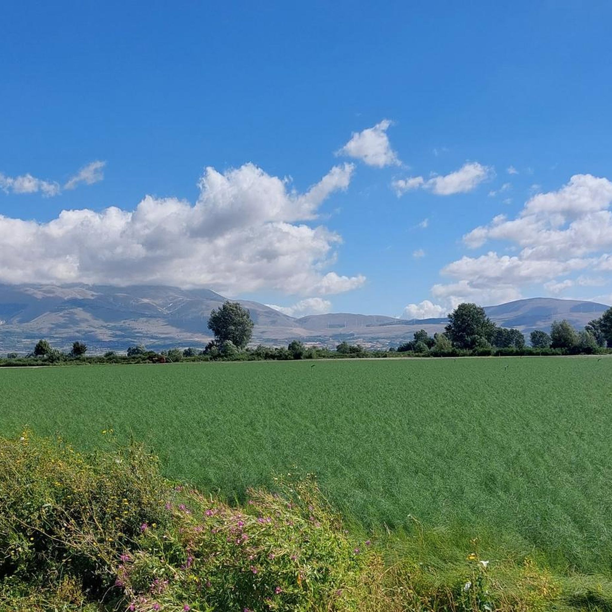
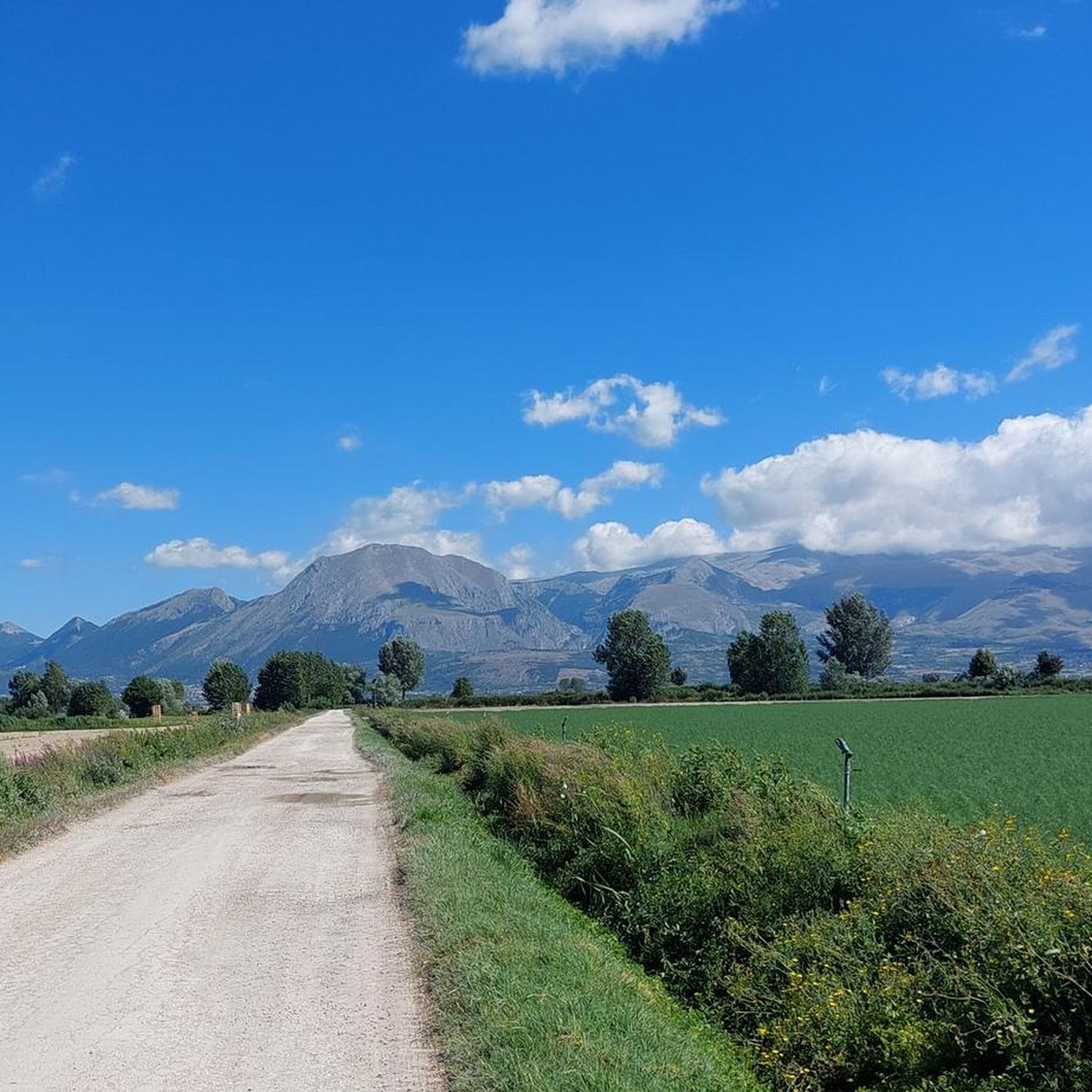
Hiking around Trasacco offers access to trails within the Fucino Plain and the surrounding hills of the Abruzzo region. The landscape is characterized by the vast, cultivated Fucino Plain, once a large lake, now offering panoramic views surrounded by mountains. To the south and west, the rugged Monti Marsicani present extensive beech forests and an alpine, rocky appearance. The area provides varied terrain, from valley paths to higher elevations and routes through local villages.
Best hiking trails around Trasacco
- The most popular hiking route is Hiking loop from Civita d'Antino, a 6.7 miles (10.8 km) trail that takes 3 hours 27 minutes to complete. This moderate route features a steady climb and offers views of the surrounding countryside.
- Another top favourite among local hikers is Views – Panoramic View of the Valley loop from Luco dei Marsi, a difficult 13.2 miles (21.3 km) path. This trail provides extensive panoramic views across the valley.
- Local hikers also love the Alpini Chapel La Cunicella loop from Luco dei Marsi, a 6.1 miles (9.9 km) trail leading through local terrain to a notable chapel, often completed in about 3 hours 9 minutes.
- Hiking around Trasacco is defined by valley views, rolling hills, and paths connecting rural communities. The network offers options for various ability levels, from easy family-friendly walks to more demanding ascents.
- The routes in Trasacco are highly rated by the komoot community with an average score of 4.6 stars from over 180 reviews. More than 800 hikers have used komoot to explore Trasacco's varied terrain.
Last updated: July 5, 2026
4.9
(7)
13
hikers
10.8km
03:27
440m
440m
Moderate hike. Good fitness required. Easily-accessible paths. Suitable for all skill levels.
12
hikers
Hard hike. Very good fitness required. Easily-accessible paths. Suitable for all skill levels.

Sign up for free
5.0
(2)
8
hikers
9.89km
03:09
380m
380m
Moderate hike. Good fitness required. Easily-accessible paths. Suitable for all skill levels.
12
hikers
8.34km
02:24
200m
200m
Moderate hike. Good fitness required. Easily-accessible paths. Suitable for all skill levels.
8
hikers
13.3km
05:39
800m
800m
Hard hike. Very good fitness required. Sure-footedness, sturdy shoes and alpine experience required.
Get access to more routes and recommendations from other explorers.
Sign up for free
Already have an account?
Our route recommendations are based on thousands of hikes, rides, and runs completed by other people on komoot.
Start today with a free account
Your next adventure awaits.
Login or Signup

Tips from the Community

A typical destination for hiking from Avezzano. There are also nice places around to enjoy a picnic, the view or small hikes
0
0

Beautiful views of the valley and mountains.
0
0
The church is open. Sanctuary visited by Pope John Paul II in 1985. Beautiful views.
0
0

Collelongo is a suggestive town located in Abruzzo, framed by the majestic Apennine mountains. The village offers a characteristic historic center with ancient architecture and narrow cobbled streets. Here you can discover the rich local culture and traditions, while admiring the breathtaking views of the surrounding valleys. Collelongo is also known for its authentic cuisine, where you can taste local delicacies.
0
0

1200m above sea level. Challenging to get there but wonderful.
0
0

The Vali di Monte Salviano is located at 902 m above sea level within the homonymous nature reserve. In 2000 the work entitled "Teatro della Germinazione" was installed, a sculpture by the artist Pietro Cascella.
1
0
At an altitude of 1860 m asl is the Sant'Elia pass. Once you reach the top, the effort is over, you can enjoy the view and then head downhill.
1
0
Built on the occasion of the Jubilee of 1700, the Floridi chapel is dedicated to the Madonna del Rosario. Today it is the site of the memorial to the fallen of all wars and in fact there are the tombstones with the names of the soldiers.
1
0
Frequently Asked Questions
How many hiking trails are available around Trasacco?
There are over 40 hiking trails in the Trasacco area, offering a diverse range of experiences. You'll find everything from easy strolls to more challenging ascents, catering to various fitness levels.
Are there any easy hiking trails suitable for beginners or families in Trasacco?
Yes, Trasacco offers several easy trails perfect for beginners or families. One such option is the Alpini Chapel La Cunicella loop from Luco dei Marsi, which is 6.1 km long and takes less than two hours to complete, leading through local terrain to a notable chapel.
What kind of views can I expect on hikes around Trasacco?
Hikes around Trasacco frequently offer expansive views of the Fucino Plain and the surrounding hills of the Abruzzo region. Many routes feature panoramic viewpoints, showcasing agricultural areas, rolling hills, and distant mountain ranges. For extensive vistas, consider the difficult Views – Panoramic View of the Valley loop from Luco dei Marsi.
Are there any circular hiking routes in the Trasacco area?
Yes, many of the trails around Trasacco are designed as circular routes, allowing you to start and end in the same location. An example is the Hiking loop from Trasacco, a moderate 12.1 km path that offers a great way to explore the local landscape.
What do other hikers say about the trails in Trasacco?
The hiking trails in Trasacco are highly regarded by the komoot community, holding an average rating of 4.6 stars from over 180 reviewers. Hikers often praise the varied terrain, the beautiful valley views, and the paths connecting rural communities.
Are there any waterfalls or interesting natural features to see on the trails?
Yes, the region around Trasacco features natural points of interest. You can find a Small Waterfall which can be a refreshing stop on your hike. The area also includes several mountain passes like Monte Salviano Pass and Sant'Elia Pass, offering unique geological formations and views.
Are there any specific viewpoints or landmarks worth visiting during a hike?
Absolutely. The region is dotted with notable viewpoints and landmarks. The View of the Fucino Plain from Monte Longagna offers a spectacular panorama. Additionally, the Ascent to Monte Alto via the Cento Pozzi Trail is a highlight for those seeking a specific trail experience.
What is the best time of year for hiking in Trasacco?
The Fucino Plain and surrounding hills of Trasacco are generally pleasant for hiking from spring through autumn. Spring brings blooming wildflowers, while autumn offers comfortable temperatures and vibrant foliage. Summer can be warm, so early morning or late afternoon hikes are recommended. Winter hiking is possible, especially on lower elevation trails, but higher routes may require appropriate gear for colder conditions.
Are there any trails that pass through local villages or offer cultural insights?
Many routes in Trasacco connect rural communities and pass through local villages, offering a glimpse into the regional culture and architecture. The trails are defined by rolling hills and paths that link these communities, providing a blend of natural beauty and local life.
Are there options for longer, more challenging hikes in Trasacco?
Yes, for experienced hikers seeking a challenge, Trasacco offers several difficult routes. The Views – Panoramic View of the Valley loop from Luco dei Marsi is a demanding 21.3 km path that takes approximately 6 hours and 15 minutes to complete, featuring significant elevation changes and extensive views.
Can I find moderate difficulty hikes around Trasacco?
Trasacco has a good selection of moderate hikes. The Hiking loop from Civita d'Antino is a popular moderate route, spanning 10.8 km with a steady climb, offering great views of the countryside and taking around 3 hours and 27 minutes.
Most popular attractions around Trasacco

Get inspired with the komoot mobile app


Explore more
Browse the best Hikes in other regions.
