The best road cycling routes around Pizzoferrato
4.7
(6)
259
riders
16
rides
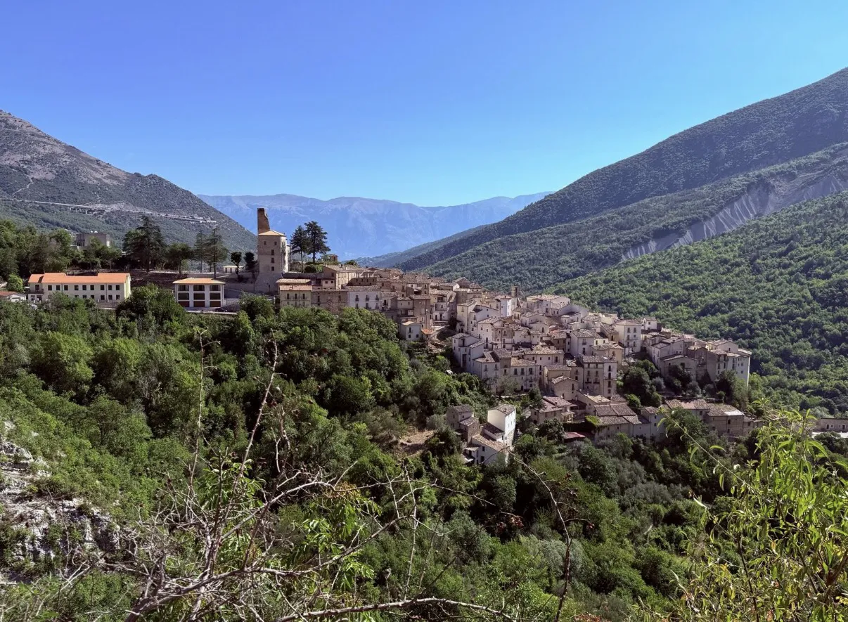
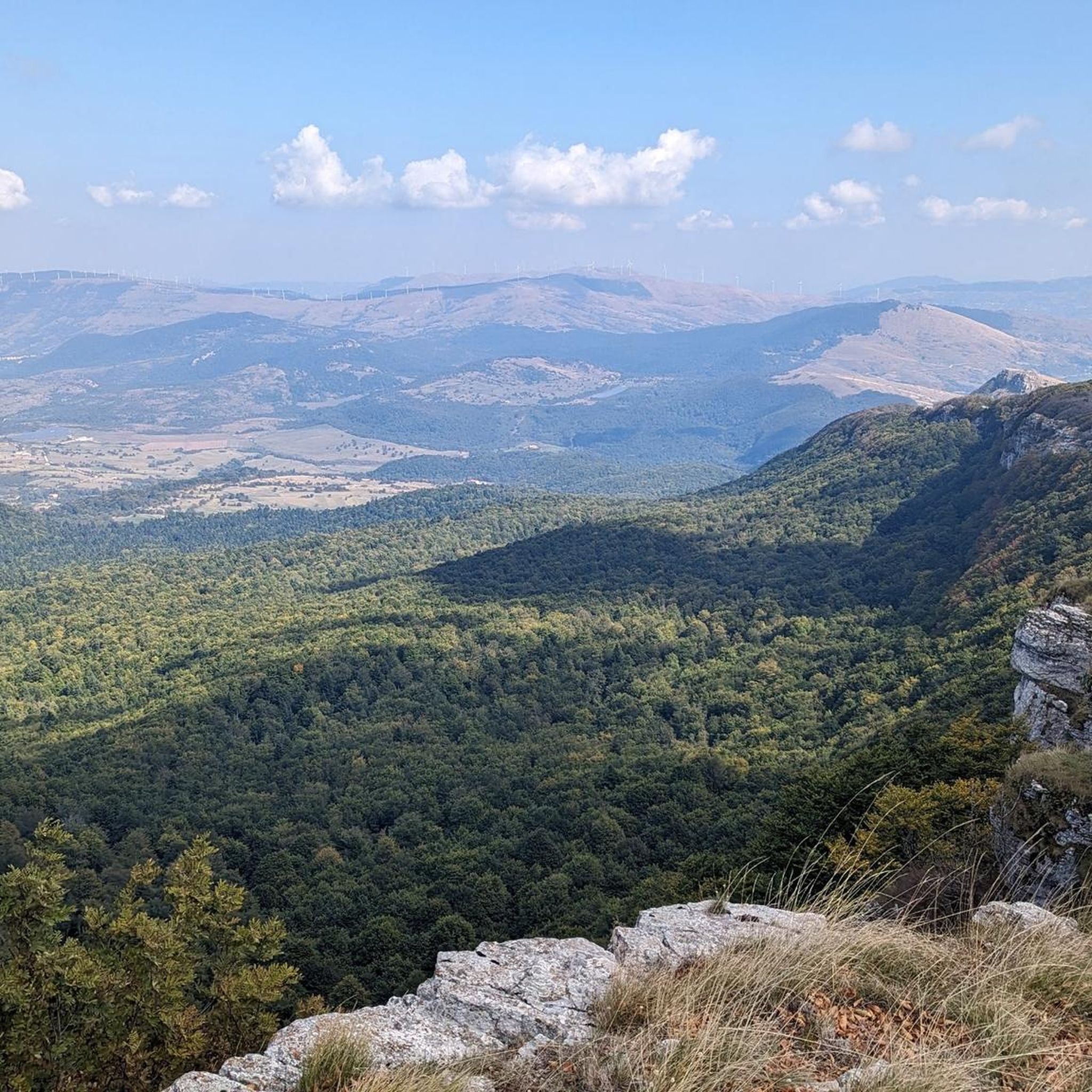
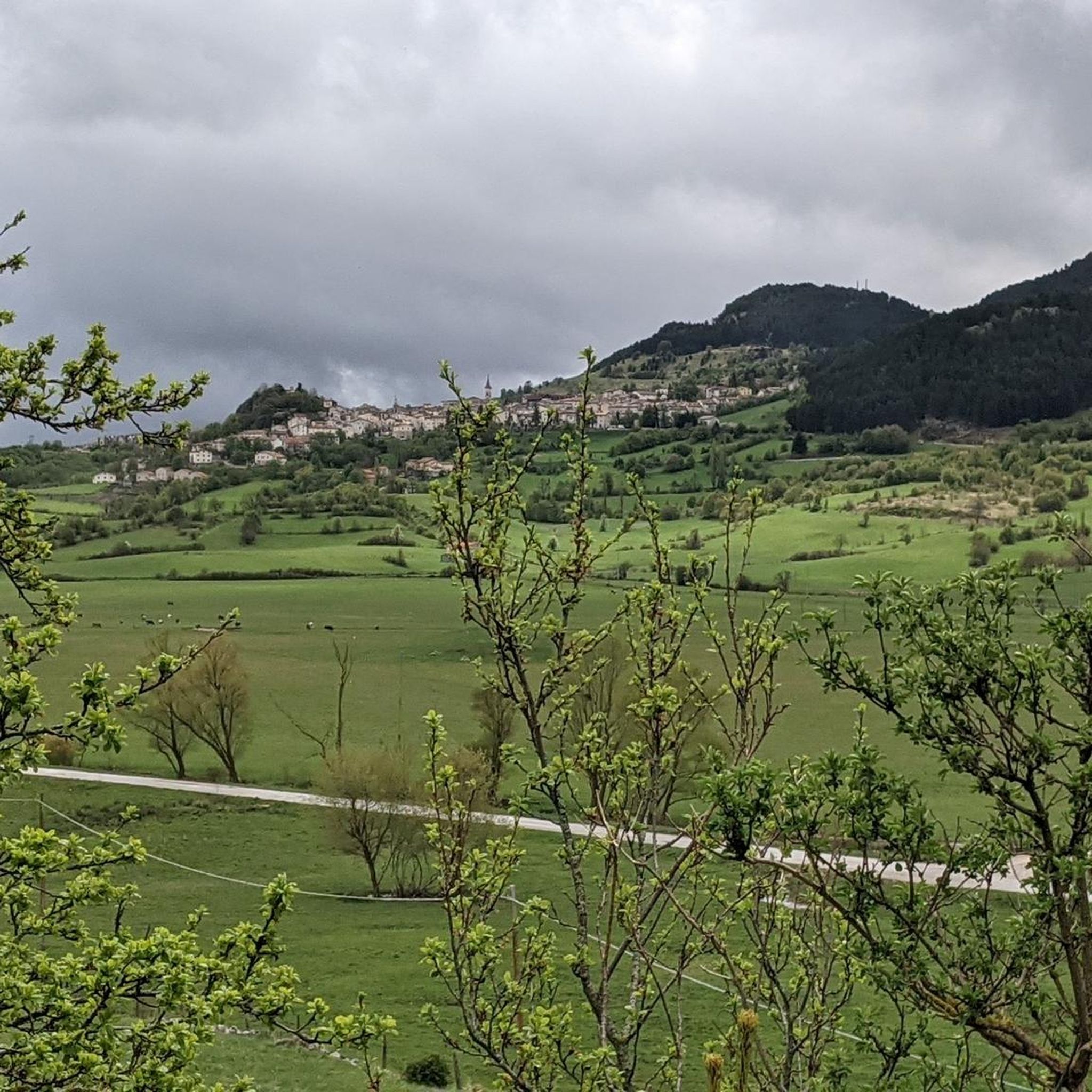
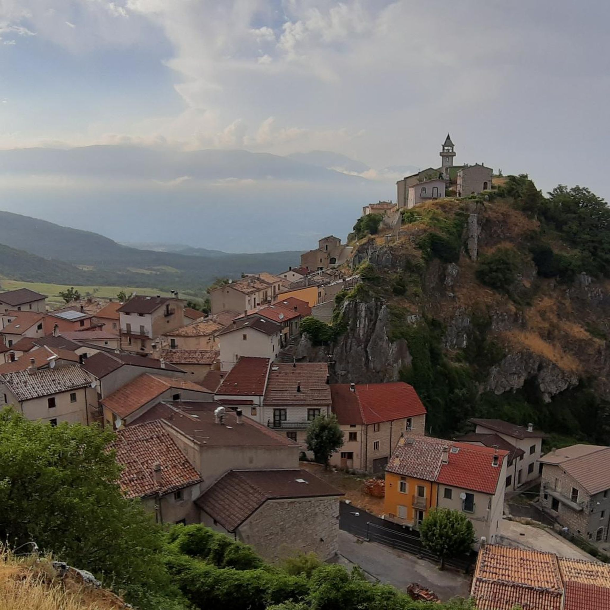
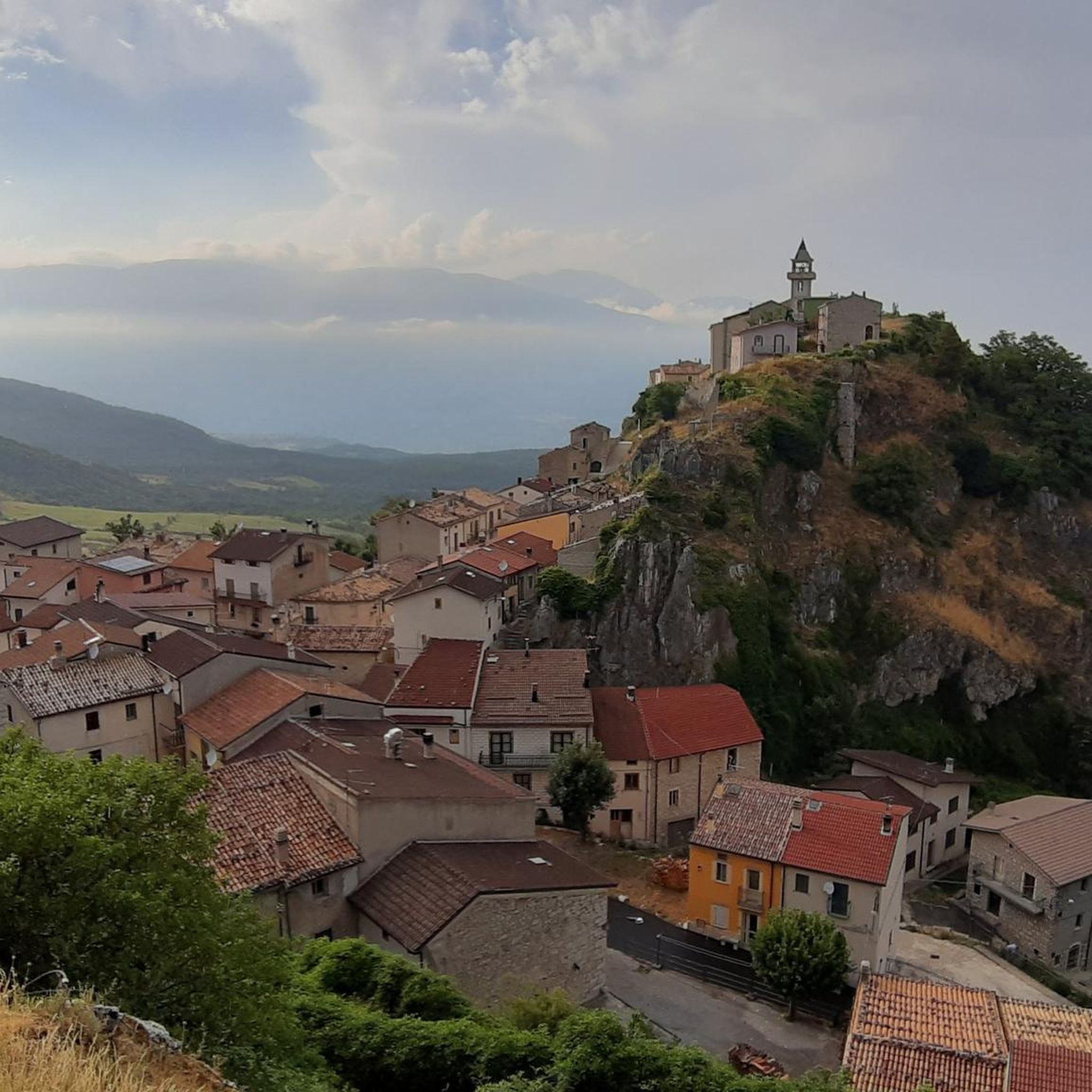
Road cycling around Pizzoferrato is characterized by its diverse and rugged natural features within Italy's Abruzzo region. The area is situated on a rocky ridge of the Maiella Mountains, offering routes with significant elevation changes. Cyclists navigate through extensive forests, mountain passes, and valleys, providing a challenging environment for road cycling. The landscape includes dramatic elevations and panoramic views over the Sangro Valley and surrounding peaks.
Best road cycling routes around Pizzoferrato
- The most popular road cycling route is Quarto…
Last updated: July 5, 2026
5.0
(1)
22
riders
82.7km
04:33
1,730m
1,730m
Hard road ride. Very good fitness required. Mostly well-paved surfaces and easy to ride.
5.0
(1)
19
riders
79.5km
03:49
1,120m
1,120m
Hard road ride. Very good fitness required. Mostly well-paved surfaces and easy to ride.

Sign up for free
11
riders
109km
06:01
2,310m
2,310m
Hard road ride. Very good fitness required. Mostly well-paved surfaces and easy to ride.
5.0
(1)
19
riders
90.1km
04:48
1,050m
1,050m
Hard road ride. Very good fitness required. Some segments of this route may be unpaved and difficult to ride.
11
riders
61.9km
03:18
1,180m
1,180m
Hard road ride. Very good fitness required. Some segments of this route may be unpaved and difficult to ride.
Get access to more routes and recommendations from other explorers.
Sign up for free
Already have an account?
Our route recommendations are based on thousands of hikes, rides, and runs completed by other people on komoot.
Start today with a free account
Your next adventure awaits.
Login or Signup
Other adventures around Pizzoferrato

Tips from the Community

Famous for winter cross-country skiing, in summer it transforms into a green expanse ideal for resting.
0
0

The sanctuary of the Madonna in Saletta is a religious building located in the middle of a pine and fir forest, three kilometers away from the center of the municipality of Castel del Giudice, in the province of Isernia
1
0

spectacular places, lots of wind.
0
0

The Sangro river originates from Mount Turchio at 1,400 meters and flows into the Adriatic Sea. It is 122 kilometers long and has become quite famous in the world of sport fishing.
2
0

Pescopennataro is a village in upper Molise perched on a beautiful rocky ridge. The town offers enchanting views of the surrounding valleys. You can also enjoy a nature walk in the Pinocchio Park.
0
0

Passo Forchetta, connecting Roccaraso to Campo di Giove, offers a journey through a fresh and lush forest. The road, although the asphalt is not in perfect condition and subject to small landslides, offers a picturesque and fascinating driving experience.
1
0

You can get here by train with your bike and go for a ride.
8
0

The Refuge and the Baita Prato Gentile are accommodation facilities in a panoramic area surrounded by nature, close to the cross-country ski runs and hiking trails of Prato Gentile. Various services are available with a bar and restaurant serving typical Molise cuisine, as well as having an area equipped for outdoor picnics.
1
0
Frequently Asked Questions
What is the typical difficulty level for road cycling routes in Pizzoferrato?
Road cycling around Pizzoferrato is known for its challenging terrain, featuring significant elevation changes and demanding ascents. Most routes are classified as difficult, with 11 out of 16 routes falling into this category. There are also 5 moderate routes, but no easy routes, making the area best suited for experienced cyclists seeking a rewarding challenge.
Are there any family-friendly or easy road cycling routes around Pizzoferrato?
Pizzoferrato's road cycling routes are primarily characterized by their rugged and mountainous terrain, offering challenging ascents and descents. Currently, there are no routes specifically classified as 'easy' for road cycling. The available routes are either moderate or difficult, making them more suitable for experienced cyclists rather than families with young children or beginners looking for flat paths.
What is the best time of year for road cycling in Pizzoferrato?
The best time for road cycling in Pizzoferrato is generally during the warmer months, from late spring through early autumn. This period offers more stable weather conditions and avoids the harsh winter conditions of the Maiella Mountains. Cyclists can enjoy the fresh, wooded roads and panoramic views without the challenges of snow or ice, particularly on passes like Passo Forchetta.
What kind of scenery can I expect while road cycling around Pizzoferrato?
Road cyclists in Pizzoferrato can expect breathtaking and diverse scenery. The routes traverse the rocky ridges of the Maiella Mountains, offering panoramic views over the Sangro Valley and surrounding peaks. You'll cycle through extensive forests, high pastures, and dramatic elevations, experiencing the rugged beauty of the Apennines. The region is often called 'Europe's Green Region' due to its rich tapestry of natural landscapes.
Are there any notable landmarks or attractions along the road cycling routes?
Yes, several interesting landmarks and attractions can be found near the road cycling routes. You might pass by the historic mountain village of Capracotta, known for its pristine landscapes. The Hermitage of Madonna dell'Altare, a historically significant sanctuary, is also situated at approximately 1300 meters. Additionally, the routes offer views of imposing peaks like Mount Porrara.
Are there any circular road cycling routes available?
Yes, many of the road cycling routes around Pizzoferrato are designed as loops, offering circular journeys. Examples include the challenging Quarto Grande Plateau – Bar Stazione di Palena loop from Civitaluparella, which spans over 82 km, and the scenic Carovilli – View of Pietrabbondante loop from Ateleta. Another option is the Sanctuary of Madonna in Saletta loop from Civitaluparella, which takes you through varied mountain scenery.
What do other road cyclists say about their experience in Pizzoferrato?
The road cycling routes around Pizzoferrato are highly rated by the komoot community, with an average score of 4.8 stars from over 6 reviews. Cyclists often praise the challenging nature of the routes, the incredible ups and downs, and the panoramic views over the Sangro Valley and surrounding peaks. The diverse and rugged natural features of the Maiella Mountains provide a rewarding experience for those seeking a demanding ride.
Is public transportation available to reach Pizzoferrato with a bike?
While Pizzoferrato is a charming hilltop village, direct public transportation options that easily accommodate bicycles can be limited, especially for reaching specific trailheads. It's advisable to research local bus services or regional trains to nearby towns and then consider cycling the remaining distance or arranging private transport. Due to the mountainous terrain, driving to the starting points of routes is often the most practical option for cyclists with their own bikes.
Are there places to eat or refuel along the road cycling routes?
While specific cafes directly on every route might be sparse due to the remote nature of some areas, you can find options in nearby villages and at facilities like the Prato Gentile Hut. This hut, located in a panoramic natural area, offers accommodation, a bar, and a restaurant serving typical Molise cuisine, making it a good stop for refuelling. Planning your route to pass through villages like Capracotta will also provide opportunities for food and drink.
Can I find parking at the trailheads for road cycling routes in Pizzoferrato?
Parking availability at specific trailheads can vary. Given Pizzoferrato's location as a village, parking is generally available within the village itself or in nearby towns that serve as common starting points for routes. For routes originating from smaller hamlets or more remote areas, roadside parking might be an option. It's recommended to check the specific route details on komoot for information regarding parking at the suggested starting points.
Are the road cycling routes in Pizzoferrato suitable for dog owners?
Road cycling, especially on challenging routes with significant elevation changes and traffic, is generally not recommended for cycling with dogs. The focus of these routes is on the physical demands of the ride and the scenic views from the road. If you wish to explore the area with your dog, consider alternative activities like hiking in areas such as the Bosco di Sant'Antonio, where trails are more suitable for pets.
What are some of the longer, more challenging road cycling routes in the area?
For experienced cyclists seeking a significant challenge, Pizzoferrato offers several long and demanding routes. The Quarto Grande Plateau – Bar Stazione di Palena loop from Civitaluparella covers 82.7 km with over 1700m of ascent. Another option is the Capracotta – Hermitage of San Luca loop from Capracotta, which spans nearly 79 km with over 1370m of climbing, offering a truly rewarding experience through the mountainous landscape.
Most popular attractions around Pizzoferrato

Get inspired with the komoot mobile app


Explore more
Browse the best Road cycling routes in other regions.
