The best road cycling routes around San Gregorio Da Sassola
4.1
(331)
5,134
riders
141
rides
Road cycling routes around San Gregorio Da Sassola are situated within the Monti Prenestini, a region characterized by hills, valleys, lush forests, and pristine streams. Located about 40 kilometers from Rome, the area offers varied terrain suitable for road cycling. Ancient Roman aqueducts and historic bridges are integrated into the landscape, providing points of interest along many routes. The elevation changes in the region range from moderate climbs to significant ascents.
Best road cycling routes around San Gregorio Da Sassola
…Last updated: July 10, 2026
4.6
(5)
401
riders
108km
05:33
1,820m
1,810m
Hard road ride. Very good fitness required. Mostly well-paved surfaces and easy to ride.
3.9
(7)
132
riders
85.5km
04:09
1,230m
1,230m
Hard road ride. Very good fitness required. Mostly well-paved surfaces and easy to ride.

Sign up for free
4.1
(17)
133
riders
58.3km
02:47
740m
740m
Moderate road ride. Good fitness required. Mostly well-paved surfaces and easy to ride.
3.6
(25)
128
riders
68.9km
03:13
750m
750m
Moderate road ride. Good fitness required. Mostly well-paved surfaces and easy to ride.
3.7
(20)
113
riders
61.8km
02:54
560m
560m
Moderate road ride. Good fitness required. Mostly well-paved surfaces and easy to ride.
Get access to more routes and recommendations from other explorers.
Sign up for free
Already have an account?
Our route recommendations are based on thousands of hikes, rides, and runs completed by other people on komoot.
Start today with a free account
Your next adventure awaits.
Login or Signup

Tips from the Community


From Tivoli's Gregorian Bridge, you can enjoy a spectacular view of the Aniene Gorge, the natural canyon carved by the river, and the Roman Acropolis with its ancient temples. Looking toward the "old" part, you can admire the houses clinging to the rock and the Temple of the Sibyl, which turns golden at sunset. Here's what you can see from the bridge: The Tivoli Gorge: The Aniene River flowing deep within, part of the evocative Villa Gregoriana Park. Roman Temples: The acropolis with the Temple of the Sibyl and the Temple of Vesta, symbols of ancient "Tibur." Historical Panorama: The medieval and historic houses overlooking the chasm, offering a glimpse of old Tivoli. The Great Waterfall: With the surrounding landscape of the gorge. The bridge itself, built in the 19th century by Pope Gregory XVI, is an iconic vantage point located at the entrance to the historic center. WEBSITE: https://visittivoli.it/sito-turistico/ponte-gregoriano/#:~:text=Today%20rappresenta%20un%20passaggio%20monumentale%20da%20cui,*%20Via%20Ponte%20Gregoriano%2C%2000019%20Tivoli%20RM.9
0
0

Villa d'Este is a masterpiece of engineering, architecture, and nature. This Italianate Renaissance garden has been a UNESCO World Heritage Site since 2001. The interplay of water and architecture is truly extraordinary. The villa can only be visited on foot, and it takes about a couple of hours, so it's a good idea to plan on parking your bike.
0
0

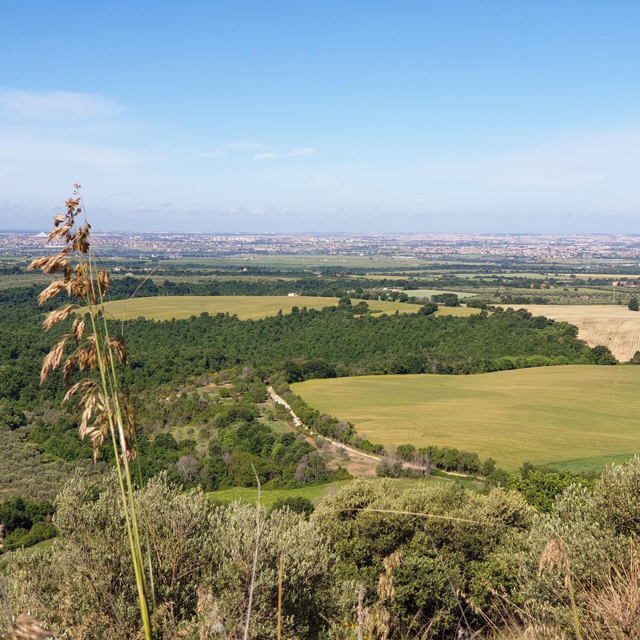
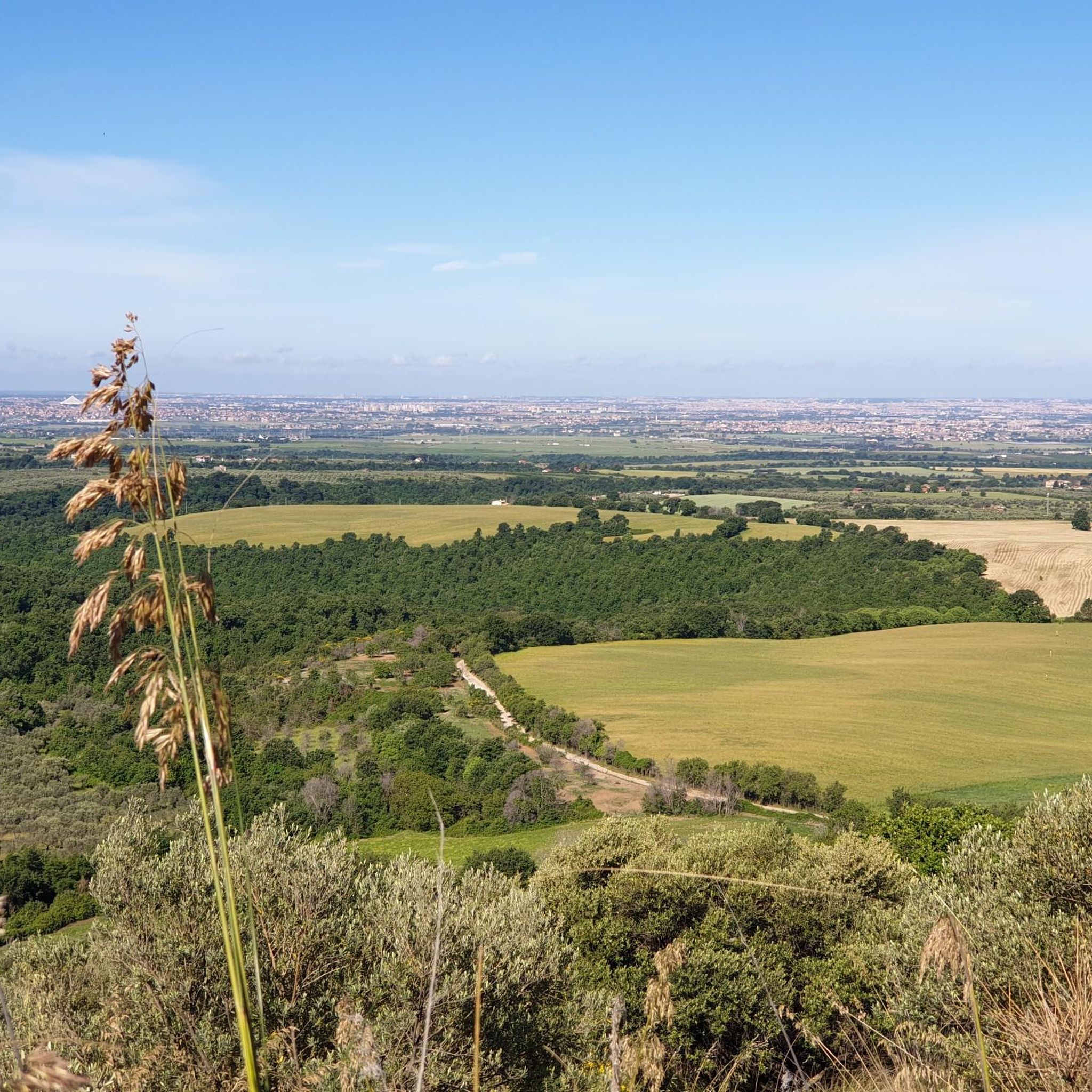
Beautiful village in the Lazio Apennines
0
0

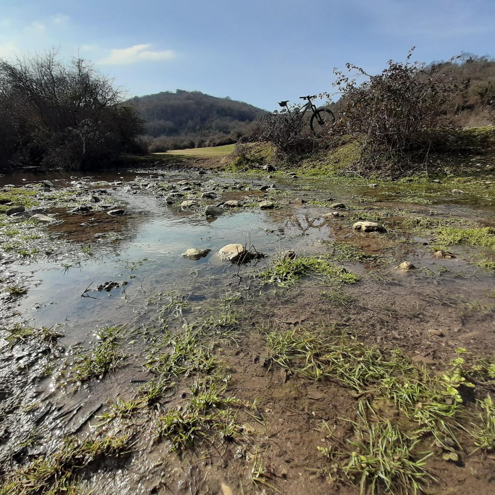
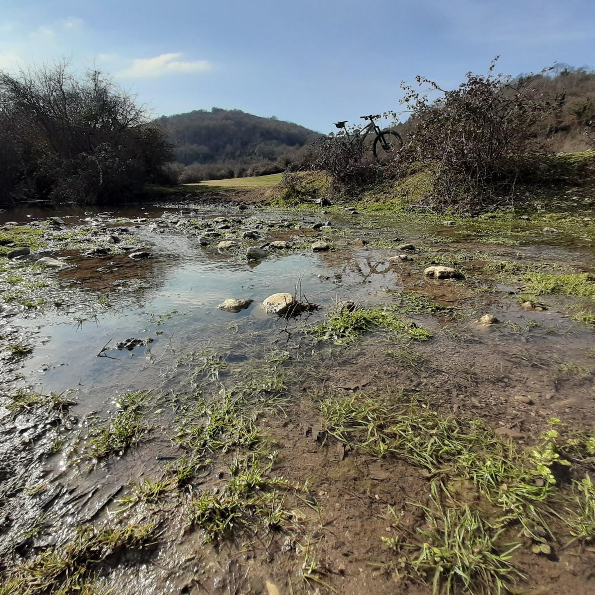
Beautiful road surrounded by greenery from which you can admire charming villages perched on the hills. It is part of the cycling route of the Cammino di San Benedetto.
4
0


Great place with outdoor tables where you can stop for a coffee or a bite to eat before, after or during your ride.
0
0
Frequently Asked Questions
What is the best time of year for road cycling around San Gregorio Da Sassola?
The most pleasant times for road cycling in the Monti Prenestini region are spring and autumn. During these seasons, the climate is moderate, and temperatures are ideal for outdoor activities, allowing you to fully enjoy the diverse landscapes.
What kind of terrain can I expect on road cycling routes near San Gregorio Da Sassola?
The region around San Gregorio Da Sassola, nestled in the Monti Prenestini, offers varied terrain. You'll find a mix of hills, valleys, lush forests, and pristine streams. Routes range from mostly paved surfaces suitable for all skill levels to more challenging rides with significant elevation gains, sometimes exceeding 1500 feet.
Are there any family-friendly road cycling routes in San Gregorio Da Sassola?
While many routes in the area feature significant elevation changes, there are options suitable for varying abilities. Among the 124 road cycling routes available, 13 are classified as easy, offering gentler terrain for families or those seeking a more relaxed ride. It's always recommended to check the route profile for specific details on elevation and surface before heading out.
What historical landmarks or natural features can I see along the road cycling routes?
Road cycling routes around San Gregorio Da Sassola are rich in historical and natural sights. You can encounter numerous ruins of ancient Roman aqueducts, such as the Anio Novus and Acqua Marcia, and historic bridges like Ponte degli Arci. The village itself boasts a medieval core with the impressive Brancaccio Castle in San Gregorio da Sassola. Further afield, you might pass by the Fountain of the Organ, Villa d'Este, or the Monumental Oak of Pierluigi da Palestrina.
Are there any challenging road cycling routes for experienced riders?
Yes, San Gregorio Da Sassola offers plenty for experienced cyclists. Out of 124 routes, 53 are classified as difficult, featuring substantial climbs and significant elevation gains. For example, the Aniene Waterfalls – Orvinio Historic Center loop from Tivoli is a difficult 67.2-mile route with over 1800 meters of elevation gain, providing a demanding and rewarding experience.
What do other road cyclists think about the routes in San Gregorio Da Sassola?
The road cycling routes in San Gregorio Da Sassola are highly regarded by the komoot community, holding an average rating of 4.0 stars from over 250 reviews. Cyclists often praise the varied terrain, the integration of historical sites like Roman aqueducts, and the scenic beauty of the Monti Prenestini.
Are there any loop routes for road cycling in the area?
Yes, many of the road cycling routes around San Gregorio Da Sassola are designed as loops, offering diverse scenery without retracing your path. A popular example is the Murals of the Gold Mine Silos – Aniene Waterfalls loop from Tivoli, a difficult 33.7-mile route that combines cultural landmarks with natural features.
Can I find cafes or restaurants along the cycling routes in San Gregorio Da Sassola?
The historic center of San Gregorio Da Sassola, with its narrow cobblestone streets, offers local establishments where you can find refreshments. Many routes pass through or near villages in the Monti Prenestini, providing opportunities to stop for a coffee or a meal. It's advisable to check specific route details or local guides for exact locations of cafes and restaurants.
Is public transport available to San Gregorio Da Sassola for cyclists?
San Gregorio Da Sassola is located about 40 kilometers from Rome. While direct public transport options specifically designed for cyclists with bikes might be limited, you can research regional bus or train services that connect to nearby larger towns like Tivoli, from where you could cycle to San Gregorio Da Sassola. Always check the specific operator's policy regarding bikes.
Where can I find parking for road cycling in San Gregorio Da Sassola?
Parking is generally available within or near the historic center of San Gregorio Da Sassola. For routes starting from Tivoli, which is a common starting point for many of the region's cycling tours, there are various parking facilities. It's recommended to check local signage for designated parking areas and any potential restrictions.
Are there any routes that feature waterfalls?
Yes, the region is known for its natural beauty, including waterfalls. Several routes incorporate the Aniene Waterfalls into their itinerary. For instance, the Ponte degli Arci – Aniene Waterfalls loop from Tivoli is a moderate 70.2-kilometer route that allows you to experience these natural cascades.
What is the longest road cycling route available in the area?
For those seeking longer rides, the Aniene Waterfalls – Orvinio Historic Center loop from Tivoli stands out as one of the longest, covering 67.2 miles (108.1 km). This difficult route typically takes over 5 hours to complete and features significant elevation gain, making it a substantial challenge.
Most popular routes around San Gregorio Da Sassola
Most popular attractions around San Gregorio Da Sassola

Get inspired with the komoot mobile app


Explore more
Browse the best Road cycling routes in other regions.
