The best walks and hikes around Roio Del Sangro
3.8
(50)
245
hikers
16
hikes
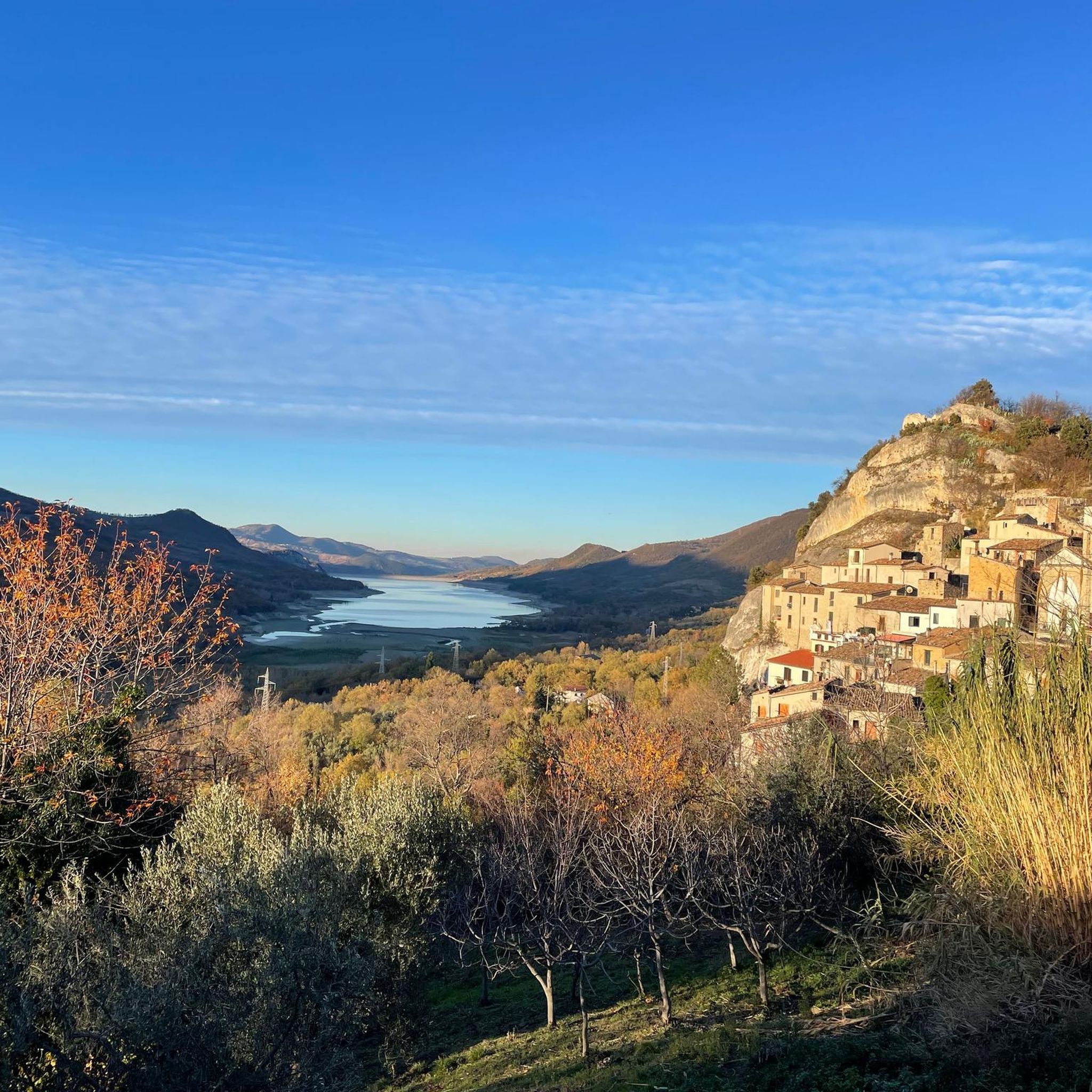
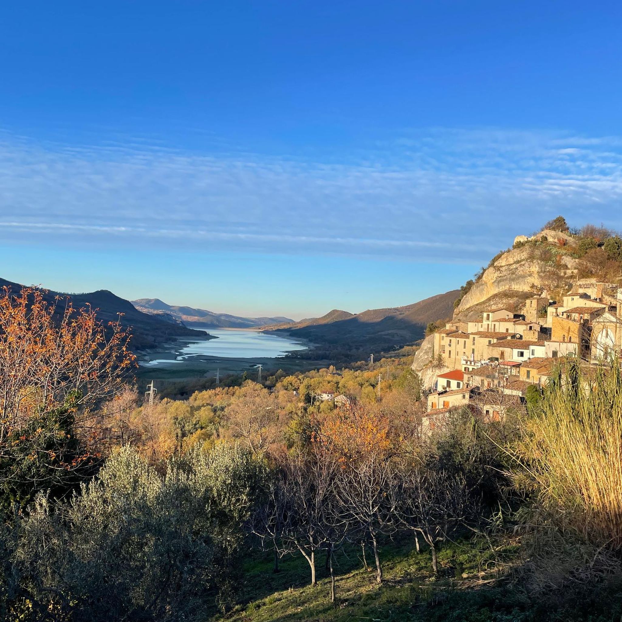
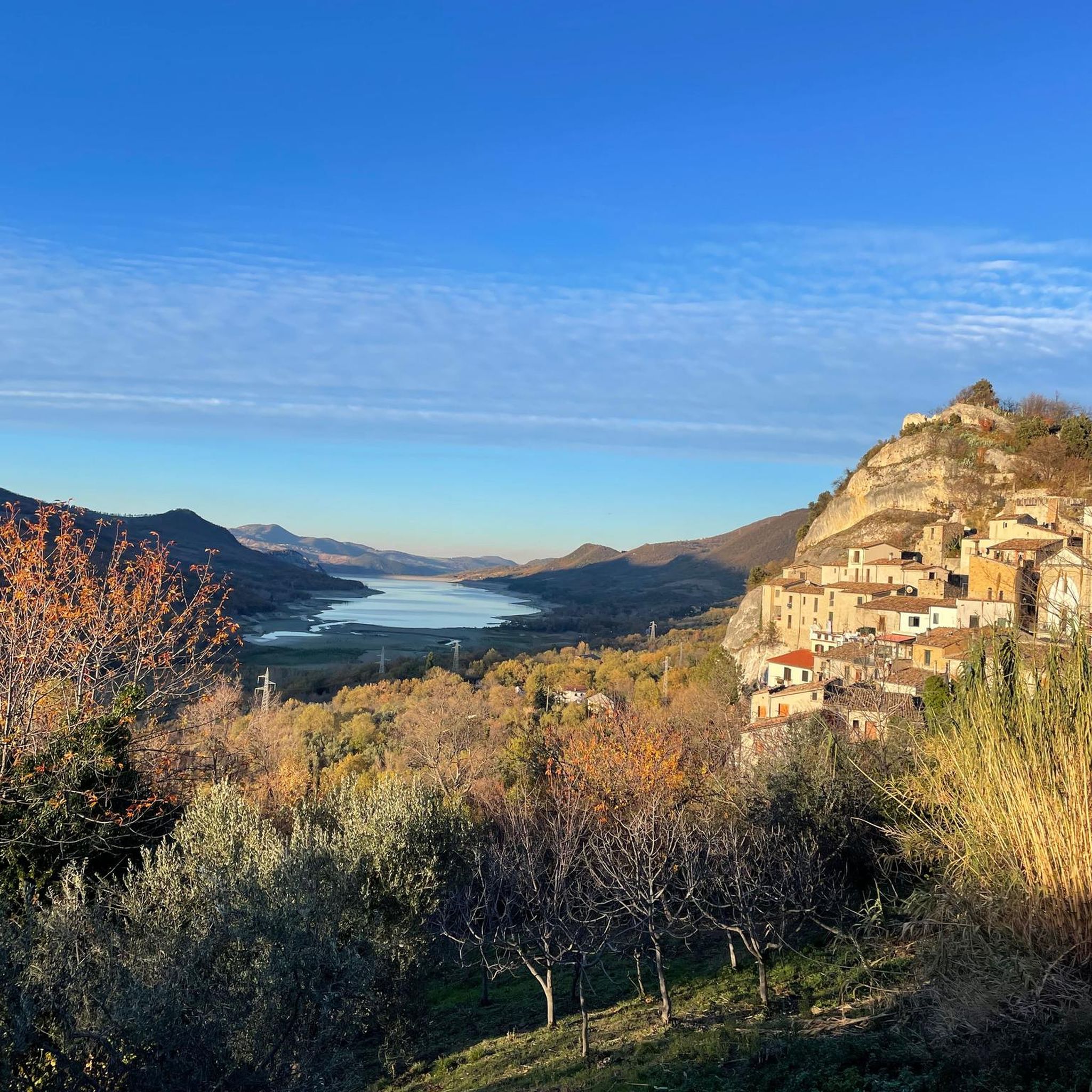
Hiking around Roio Del Sangro offers access to varied landscapes in the Abruzzo region. The village is situated on a rocky spur at an elevation of around 870 meters, providing views towards the Majella Massif and the Sangro River valley. The terrain includes thick forests on the slopes of Mount Lupara and diverse habitats ranging from riverine environments to high-altitude grasslands. The area is characterized by its mountainous setting and proximity to the Sangro River.
Best hiking trails around Roio…
Last updated: August 28, 2026
4.3
(3)
6
hikers
4.66km
01:22
120m
120m
Easy hike. Great for any fitness level. Easily-accessible paths. Suitable for all skill levels.
3.3
(3)
23
hikers
4.94km
01:29
150m
150m
Easy hike. Great for any fitness level. Easily-accessible paths. Suitable for all skill levels.

Sign up for free
4.0
(4)
15
hikers
9.05km
02:51
340m
340m
Moderate hike. Good fitness required. Easily-accessible paths. Suitable for all skill levels.
3.0
(6)
11
hikers
7.76km
02:23
270m
270m
Moderate hike. Good fitness required. Easily-accessible paths. Suitable for all skill levels.
4.0
(1)
9
hikers
5.97km
01:43
150m
150m
Easy hike. Great for any fitness level. Easily-accessible paths. Suitable for all skill levels.
Get access to more routes and recommendations from other explorers.
Sign up for free
Already have an account?
Our route recommendations are based on thousands of hikes, rides, and runs completed by other people on komoot.
Start today with a free account
Your next adventure awaits.
Login or Signup
Popular around Roio Del Sangro
Tips from the Community

Recommended: Aperol Spritz
0
0

The excursion was done on June 16, 2024 and there was a total lack of water!
1
0

The Green Falls are located within a Special Area of Conservation (SAC), with the falls originating from the Rio Verde. The organic quality is remarkable, there are crayfish and river crab, the dipper and the yellow wagtail, as well as the peregrine falcon and the red kite.
2
0
The green waterfalls are the highest perennial natural waterfalls in the Apennines. In total they fall for over 200 meters before joining the Sangro River.
2
0

In addition to numerous small frogs and fish, this small water snake also lives in the Gola and presumably feeds on the former. Now, at the beginning of October, the waterfall is more of a small trickle. To do this, it can be easily reached from the parking lot at the entrance to the gorge after a few minutes of walking over round stones and mini climbing inserts over two slightly larger rocks with dry feet. Sturdy footwear is still advisable and, especially in bad weather, you should take the notice at the entrance to the gorge that you should only enter it with a helmet because of the risk of falling rocks.
0
0
Frequently Asked Questions
How many hiking trails are available around Roio del Sangro?
There are over 10 hiking routes around Roio del Sangro, offering a variety of experiences from easy strolls to more moderate treks. The area features diverse landscapes, from river valleys to mountain slopes.
Are there any easy hiking trails suitable for beginners or families?
Yes, Roio del Sangro offers several easy trails. For instance, the Regional Natural Reserve Cascate del Verde is an easy 4.7 km route that takes about 1 hour 22 minutes to complete, exploring the beautiful natural reserve. Another option is the View of the Cascate del Verde – View of the Cascate del Verde loop from Borrello, an easy 5.0 km path with scenic views.
What kind of views can I expect on hikes around Roio del Sangro?
Hikes around Roio del Sangro offer breathtaking panoramic views. Situated on a rocky outcrop, the village provides vistas that stretch from the majestic Majella Massif all the way to the Adriatic Sea. Many trails also offer views of the Sangro River valley and the surrounding thick forests.
Are there any circular hiking routes in the area?
Yes, several circular routes are available. The View of the Cascate del Verde – View of the Cascate del Verde loop from Borrello is an easy 5.0 km loop. For a moderate option, consider the Forest House loop from Rosello, which is 9.0 km long and takes about 2 hours 51 minutes through dense forests.
What are some notable natural attractions or landmarks to see while hiking?
A significant natural attraction is the Riserva Naturale Regionale Cascate del Verde, home to the impressive Green Waterfalls. You can explore this area on trails like the Regional Natural Reserve Cascate del Verde. Other points of interest include the Prato Gentile Hut, located in a panoramic area, and the Waterfall in Gola di Pennadomo.
Can I bring my dog on the hiking trails?
Many trails in the Roio del Sangro area are suitable for dogs, especially those through forests and along river paths. However, it's always recommended to keep your dog on a leash, especially in natural reserves or areas with wildlife, and to check local regulations for specific trails.
What is the best time of year to go hiking in Roio del Sangro?
The spring and autumn months generally offer the most pleasant hiking conditions with mild temperatures and vibrant natural scenery. Summer can also be enjoyable, particularly in the higher elevations, but be prepared for warmer weather. Winter hiking is possible, especially on lower trails, but some higher routes may be affected by snow.
Are there any challenging hikes for experienced hikers?
While there are no trails explicitly graded as 'difficult' in our current selection, the region offers moderate routes that provide a good challenge. Trails like the Forest House loop from Rosello (9.0 km, 343m elevation gain) or the Bridge – Eremo di San Luca loop from Pescopennataro (7.9 km, 270m elevation gain) offer more significant distances and elevation changes, providing a rewarding experience for those seeking a moderate challenge.
What do other hikers say about the trails in Roio del Sangro?
The hiking trails around Roio del Sangro are highly rated by the komoot community, with an average score of 3.9 stars from over 30 reviews. Hikers often praise the diverse landscapes, from river environments to high-altitude prairies, and the stunning panoramic views of the Majella Massif and the Adriatic Sea.
Are there opportunities for wild swimming near the hiking trails?
The Sangro River valley, which Roio del Sangro overlooks, offers opportunities for various outdoor activities, including water-based excursions. While specific wild swimming spots are not detailed, the river's course has been made accessible for activities like rafting and canoeing, suggesting potential areas for enjoying the water. Always exercise caution and check local safety guidelines if considering swimming in natural bodies of water.
Is public transport available to access hiking trailheads?
Information on specific public transport links directly to trailheads is limited. It is generally recommended to have private transportation to access many of the more remote hiking starting points around Roio del Sangro, as the village itself is nestled in a mountainous area. However, local bus services might connect to nearby towns, from which you could potentially arrange further transport.
What should I bring for a hike in Roio del Sangro?
For hiking in Roio del Sangro, it's advisable to bring appropriate footwear, sufficient water, snacks, sun protection, and layers of clothing suitable for changing mountain weather. A map or GPS device is also recommended, especially for longer or less-trafficked routes. If hiking near the Sangro River, consider insect repellent.
Most popular routes around Roio Del Sangro
Most popular attractions around Roio Del Sangro

Get inspired with the komoot mobile app


Explore more
Browse the best Hikes in other regions.
