The best road cycling routes around Montecilfone
4.3
(12)
419
riders
33
rides
Road cycling routes around Montecilfone are characterized by a blend of coastal proximity and inland rolling terrain. The region features routes that often provide sea views, particularly near areas like Montenero di Bisaccia and Termoli. Cyclists can expect varied elevation changes, moving between lower coastal plains and higher ground offering panoramic vistas. The landscape includes agricultural areas and small towns, providing a mix of open road and village passages.
Best road cycling routes around Montecilfone
- The most popular road cycling…
Last updated: May 24, 2026
5.0
(1)
10
riders
57.3km
03:10
1,190m
1,190m
Hard road ride. Very good fitness required. Mostly well-paved surfaces and easy to ride.
10
riders
69.7km
04:02
1,490m
1,490m
Hard road ride. Very good fitness required. Mostly well-paved surfaces and easy to ride.

Sign up for free
7
riders
Moderate road ride. Good fitness required. Mostly well-paved surfaces and easy to ride.
5.0
(2)
10
riders
Moderate road ride. Good fitness required. Mostly well-paved surfaces and easy to ride.
5.0
(1)
10
riders
Moderate road ride. Good fitness required. Mostly well-paved surfaces and easy to ride.
Get access to more routes and recommendations from other explorers.
Sign up for free
Already have an account?
Our route recommendations are based on thousands of hikes, rides, and runs completed by other people on komoot.
Start today with a free account
Your next adventure awaits.
Login or Signup


Tips from the Community

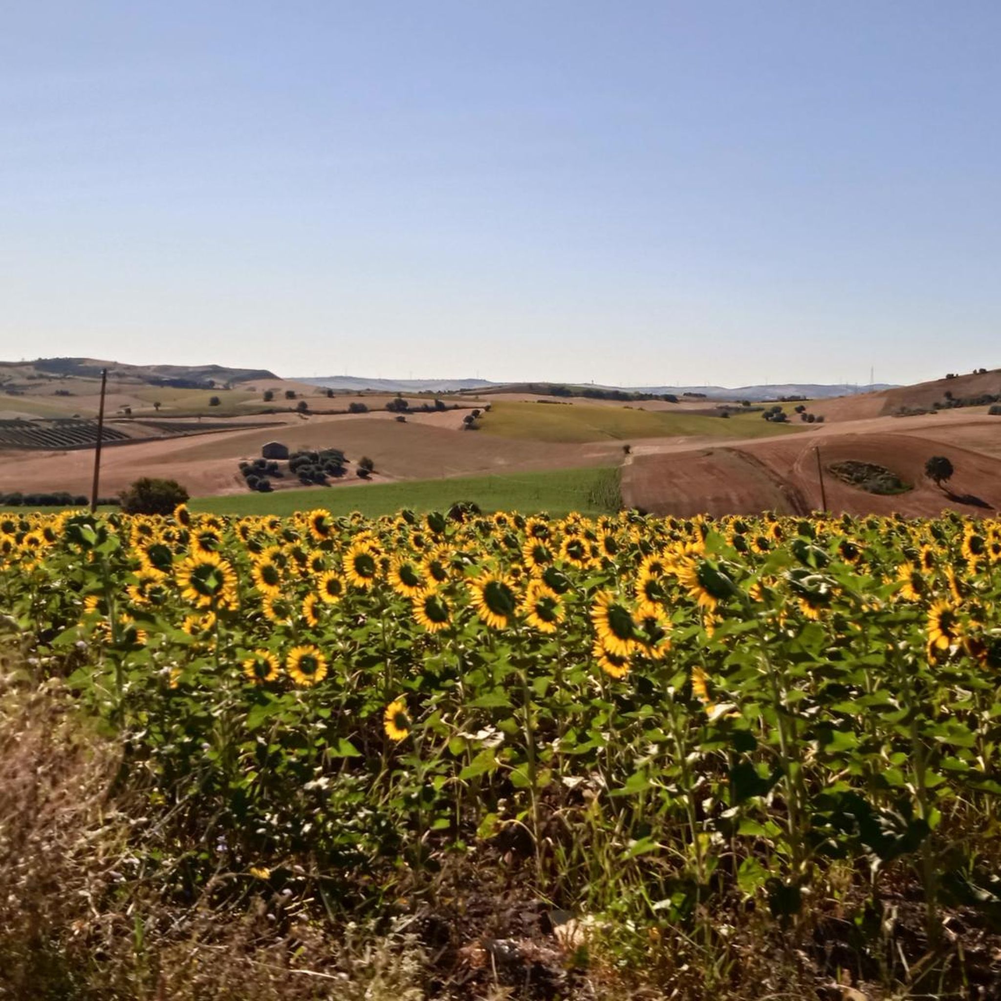
Short tour but with beautiful landscapes.
0
0

An important part of the defense system, a sturdy wall that surrounded the old village.
0
0

The coast of Molise is 35 kilometers long and ten kilometers are dedicated to the city of Termoli. A small town, Termoli is one of the important centers of the Molise region for tourism. It is worth a visit to the ancient village and the Swabian castle, the symbol of the city.
2
0

Monument bearing the indication of the 42nd parallel and 15th meridian; then determines the time for Italy Central Europe.
1
0
Palata is a municipality located in the province of Campobasso, Molise. It is known for its medieval streets, historic buildings and captivating natural scenery. Its history and culture are rooted in the rural environment, with an additional influence of the Croatian migrations of the 16th century.
0
0
From this point it is possible to admire the view of the village of Calanchi di Montenero and Montenero di Bisaccia.
0
0

42nd parallel and 15th meridian
2
0

The Swabian castle of Termoli characterizes the image of the medieval village of the city with its profile. Its construction is traced back approximately to the XIII century, a period in which Frederick II of Swabia designed a fortification system of the south-eastern Italian borders up to Sicily, while the central Norman tower dates back to the XII century, maintaining the structural characteristics of the Norman towers existing. (Source Wikipedia.)
4
0
Frequently Asked Questions
How many road cycling routes are available in Montecilfone?
Montecilfone offers a diverse selection of over 40 road cycling routes. These routes cater to various skill levels, with options ranging from moderate to difficult, ensuring there's a suitable ride for most cyclists.
What is the general difficulty level of road cycling routes in Montecilfone?
The majority of road cycling routes in Montecilfone are rated as moderate, making them accessible to cyclists with some experience. There are also several difficult routes for those seeking a greater challenge, and a few easy options for a more relaxed ride.
Are there any long-distance road cycling routes around Montecilfone?
Yes, Montecilfone features several longer routes. For instance, the View of Montenero di Bisaccia – San Rocco Fountain loop from Montenero di Bisaccia covers nearly 60 miles (94.5 km), offering an extensive ride through elevated areas with panoramic views.
What kind of scenery can I expect on road cycling routes in Montecilfone?
Road cycling in Montecilfone is characterized by a blend of coastal proximity and inland rolling terrain. Many routes offer consistent sea views, especially near areas like Montenero di Bisaccia and Termoli. You'll also pass through agricultural areas, small towns, and elevated points providing panoramic vistas.
Are there any circular road cycling routes in Montecilfone?
Yes, many of the routes in Montecilfone are designed as loops, allowing you to start and finish in the same location. A popular example is the Sea View – Monument to the Bather loop from Montenero di Bisaccia, which offers continuous sea views.
What are some notable landmarks or attractions along the road cycling routes?
While cycling, you can explore various points of interest. The Guglionesi Historic Center – Termoli Seafront Cycle Path loop from Guglionesi combines exploration of the Guglionesi Historic Center with a dedicated seafront path. Other attractions in the region include the View of the badlands and the Cave of the Madonna di Bisaccia.
What is the best season for road cycling in Montecilfone?
The region's Mediterranean climate makes spring and autumn ideal for road cycling, offering pleasant temperatures and less crowded routes. Summer can be warm, especially in coastal areas, while winter is generally mild but may have more unpredictable weather.
What do other road cyclists enjoy most about the routes in Montecilfone?
The komoot community highly rates the road cycling experience in Montecilfone, with an average score of 4.5 stars. Cyclists frequently praise the blend of coastal views, the challenge of rolling hills, and the opportunity to explore historic towns.
Are there any challenging road cycling routes for experienced riders?
Absolutely. For experienced riders seeking a challenge, routes like the Church Tower of Palata – View of Montenero di Bisaccia loop from Montenero di Bisaccia offer significant elevation gains, with over 1600 meters of ascent, providing a demanding yet rewarding ride.
Are there road cycling routes that pass through or near Montenero di Bisaccia?
Yes, Montenero di Bisaccia is a prominent feature in many routes. The Montenero di Bisaccia – View of Montenero di Bisaccia loop from Montenero di Bisaccia is a challenging route that specifically highlights the area, offering extensive views and climbs.
What kind of terrain can I expect on the road cycling routes?
The terrain around Montecilfone is varied, featuring a mix of coastal plains, rolling hills, and elevated areas. You'll encounter both flat sections, particularly near the coast, and significant climbs as you venture inland, providing a dynamic cycling experience.
Most popular routes around Montecilfone
Most popular attractions around Montecilfone

Get inspired with the komoot mobile app


Explore more
Browse the best Road cycling routes in other regions.
