The best road cycling routes around Randegg
4.4
(153)
5,742
riders
168
rides
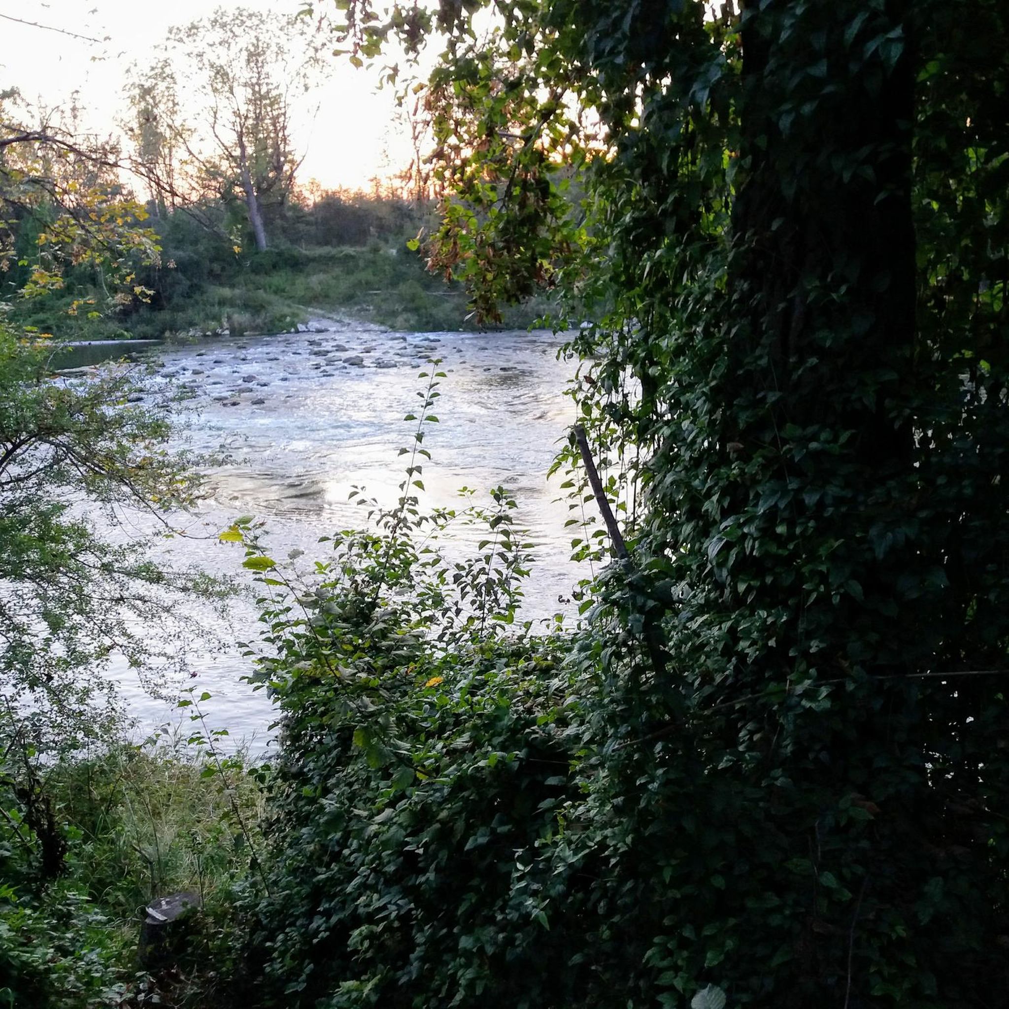
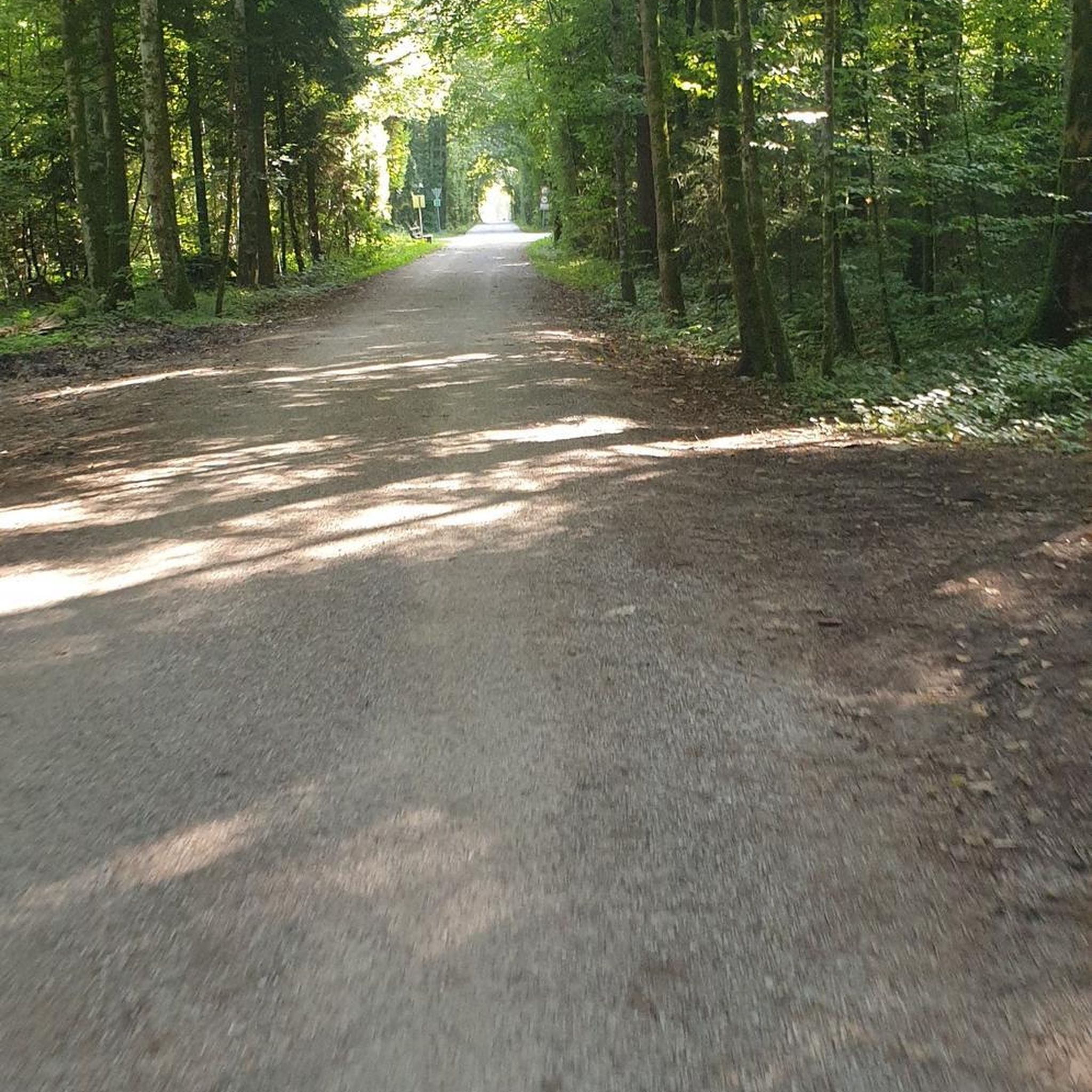
Road cycling routes around Randegg traverse a varied landscape characterized by river valleys, rolling hills, and historical sites. The region features moderate elevation changes, with some routes including significant climbs. Terrain often includes paved roads winding through agricultural areas, forests, and past castles. The area provides a network of routes suitable for different skill levels, from gentle loops to challenging mountain passes.
Best road cycling routes around Randegg
- The most popular road cycling route is Zellerrain – Erlaufsee loop from…
Last updated: October 5, 2026
5.0
(7)
227
riders
120km
06:01
1,910m
1,910m
Hard road ride. Very good fitness required. Mostly well-paved surfaces and easy to ride.
4.0
(2)
114
riders
50.8km
02:07
340m
340m
Moderate road ride. Good fitness required. Mostly well-paved surfaces and easy to ride.

55
riders
68.2km
03:17
880m
880m
Moderate road ride. Good fitness required. Mostly well-paved surfaces and easy to ride.
5.0
(2)
21
riders
29.6km
01:09
100m
100m
Easy road ride. Great for any fitness level. Mostly well-paved surfaces and easy to ride.
13
riders
67.8km
02:48
440m
440m
Moderate road ride. Good fitness required. Mostly well-paved surfaces and easy to ride.
Get access to more routes and recommendations from other explorers.
Already have an account?
Our route recommendations are based on thousands of hikes, rides, and runs completed by other people on komoot.
Start today with a free account
Your next adventure awaits.
Tips from the Community

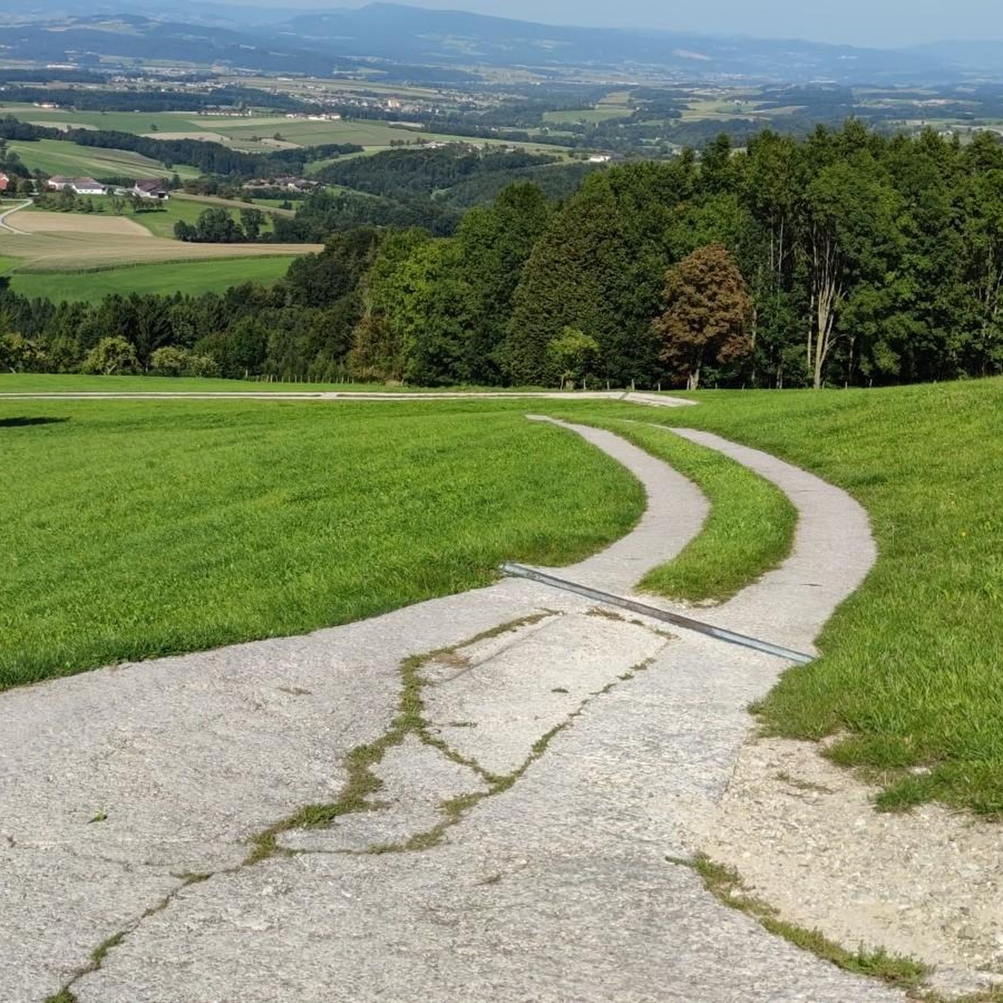
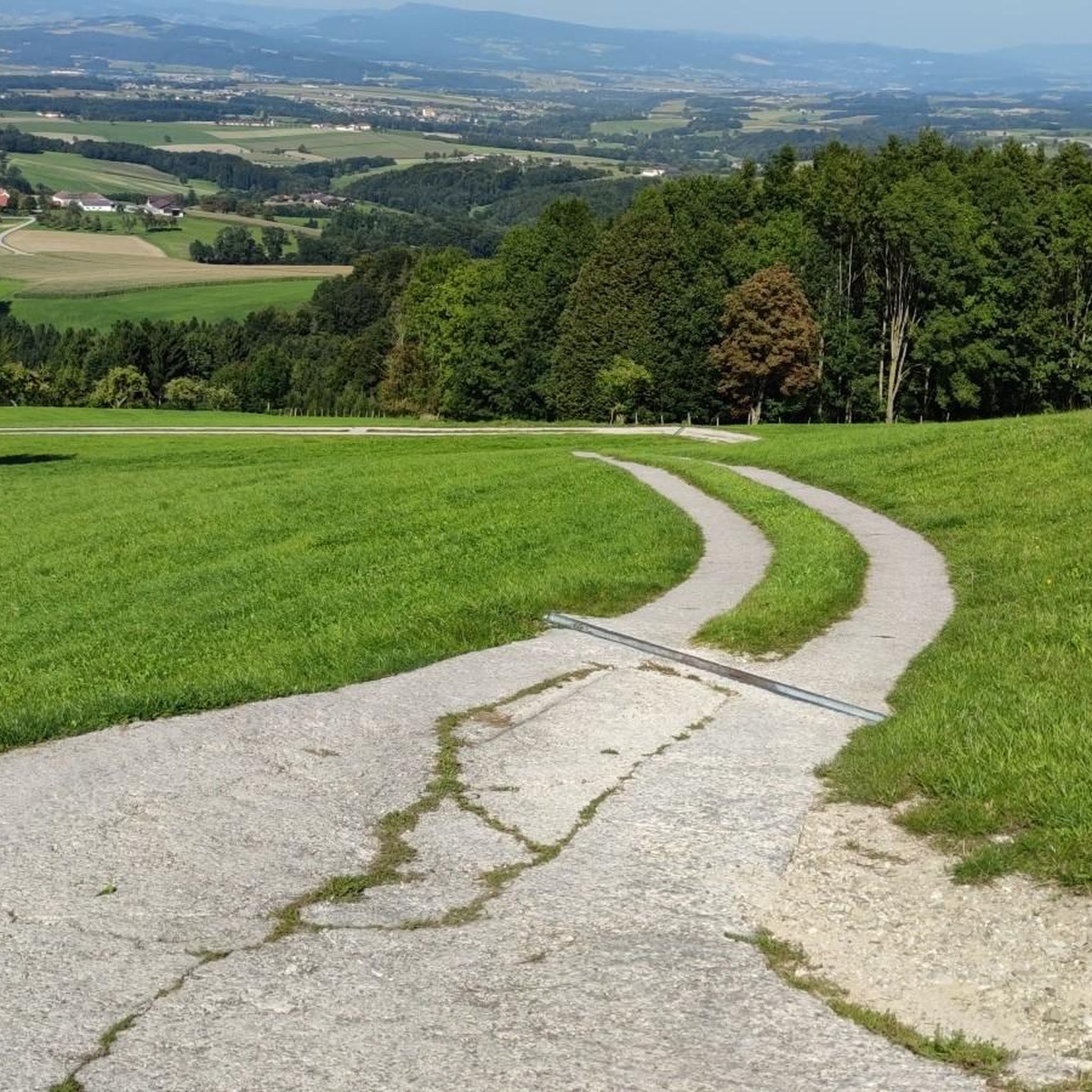
Beautiful passage at the entrance to Mariazell
3
0

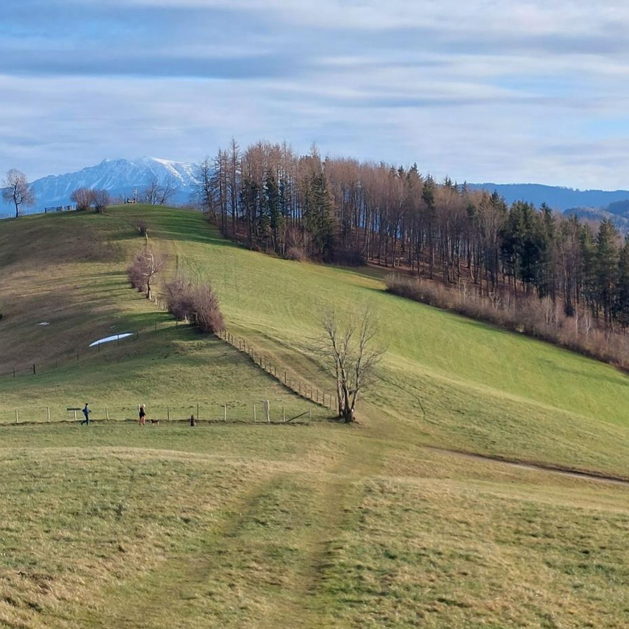
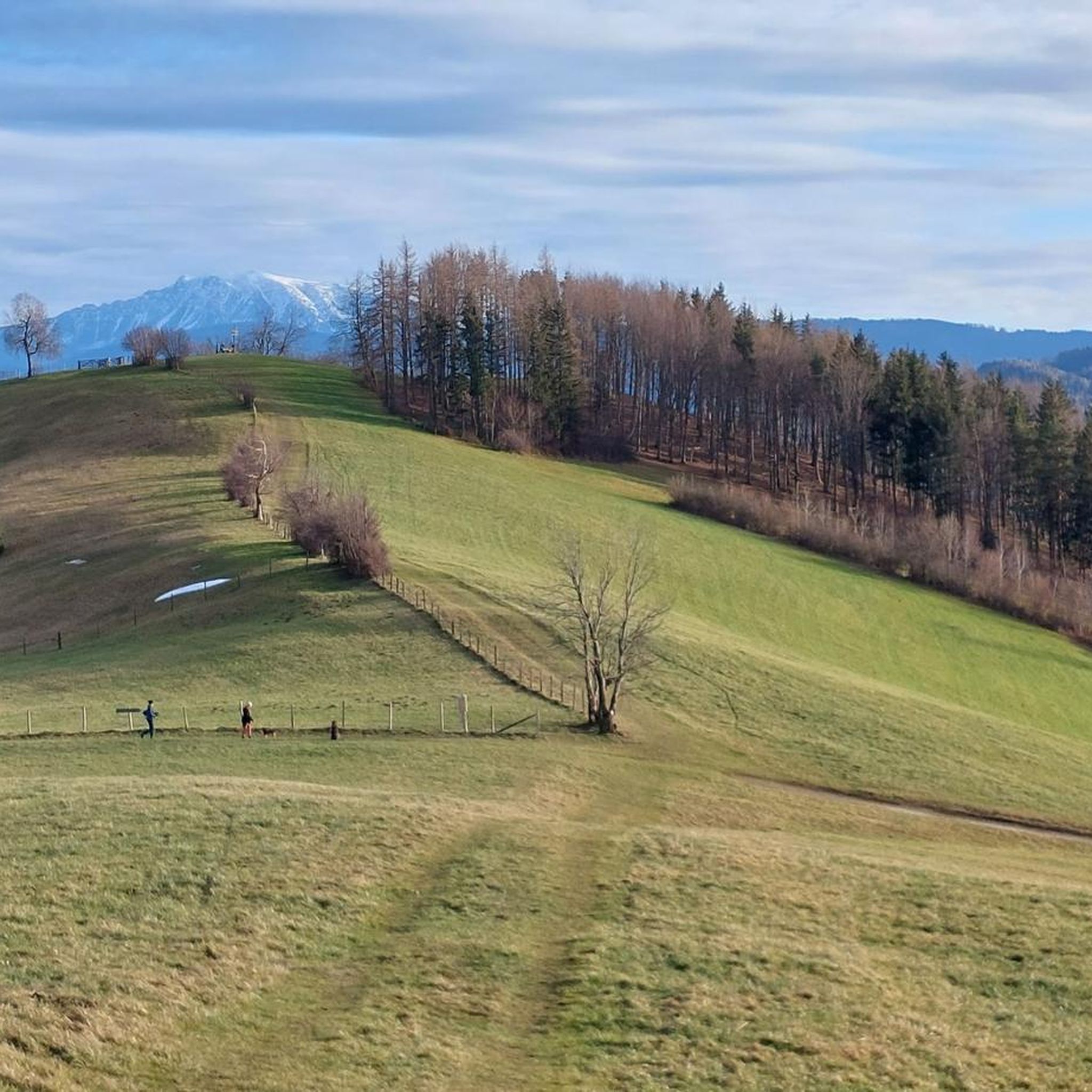
Great view into the Mostviertel towards Ötscher
0
0
Two beautiful linden trees invite you to stop and linger in their shade while your gaze wanders to the Ötscher, whose sight inspires dreams.
0
0

The scenery is very beautiful, but the riding technique and terrain are definitely not up to the challenge of mountain biking!!!! What a pity😩
0
0

The beautiful castle park with its impressive old trees is also freely accessible through the campus of the agricultural college
0
0

Waidhofen is always worth a stay
1
0

nice view of the city,and truly beautiful medieval structures!
0
0
Frequently Asked Questions
How many road cycling routes are available around Randegg?
There are over 170 road cycling routes around Randegg, offering a wide variety of options for different skill levels and preferences.
Are there easy road cycling routes suitable for beginners in Randegg?
Yes, Randegg offers several easy road cycling routes. For instance, the Schloss Weinzierl – Wolfpassing Castle loop from Wang is an easy 18.4-mile (29.6 km) route with minimal elevation gain, perfect for a relaxed ride.
What are some options for long-distance road cycling in Randegg?
For those seeking a longer challenge, the Zellerrain – Erlaufsee loop from Randegg is a difficult 74.5-mile (119.8 km) route featuring significant elevation gain through a mountain pass and past a lake. Another option is the Wolfpassing Castle – Perwarth Castle Ruins loop from Randegg, a moderate 42.7-mile (68.7 km) ride.
Where can I find challenging road cycling routes with significant climbs in Randegg?
Challenging routes with substantial climbs are a hallmark of road cycling in Randegg. The Zellerrain – Erlaufsee loop from Randegg, for example, involves over 1900 meters of elevation gain, traversing a mountain pass and offering a demanding experience for experienced cyclists.
Are there family-friendly road cycling routes in the Randegg area?
While many routes in Randegg feature rolling hills, there are options suitable for families. Look for routes described as 'easy' or those that follow river valleys, which often have gentler gradients. The region's varied terrain means you can find paths that avoid major climbs.
What kind of scenery can I expect on road cycling routes around Randegg?
Road cycling routes around Randegg offer diverse scenery, including river valleys, rolling hills, agricultural areas, and forests. You'll also encounter historical sites like castles and castle ruins, providing a mix of natural beauty and cultural interest.
Are there historical landmarks or points of interest along the road cycling routes?
Yes, many routes pass by historical landmarks. For example, the Perwarth Castle Ruins – Wolfpassing Castle loop from Gresten connects historical castle ruins and a castle. You can also find highlights like the Turkish Fountain at Sonntagberg or the Mostviertel Solstice Circle on Haberg near some routes.
When is the best time of year to go road cycling in Randegg?
The best time for road cycling in Randegg is typically from spring through autumn. During these seasons, the weather is generally mild, and the landscapes are vibrant. Summer offers longer daylight hours, while spring and autumn provide pleasant temperatures and beautiful foliage.
What do other road cyclists enjoy most about road cycling in Randegg?
The road cycling routes in Randegg are highly rated by the komoot community, with an average score of 4.3 stars from over 100 reviews. Cyclists often praise the varied terrain, the mix of natural and historical sights, and the well-maintained paved roads that wind through the picturesque region.
Are there road cycling routes in Randegg that are loop trails?
Yes, many road cycling routes around Randegg are designed as loops, allowing you to start and end at the same point. Examples include the Kleiner Erlauftal Cycle Path – Zogelgraben Road loop from Gresten and the Perwarth Castle Ruins – Wolfpassing Castle loop from Gresten.
Can I find places to stop for refreshments or coffee along the routes?
Given the region's agricultural areas and villages, it's common to find opportunities for cafe stops or refreshments, especially in larger towns or villages along the routes. While specific cafes aren't listed for every route, the presence of historical sites and communities suggests amenities are available. For example, the Malt's Bistro at Ausee 3 is a known cafe near some routes.
What are the typical elevation changes on road cycling routes in Randegg?
Randegg's road cycling routes feature moderate to significant elevation changes. While some easy routes have minimal climbs, many include rolling hills and even mountain passes. For instance, the difficult routes can involve over 1900 meters of ascent, providing a good workout for cyclists.
Most popular routes around Randegg
Most popular attractions around Randegg

Get inspired with the komoot mobile app


Explore more
Browse the best Road cycling routes in other regions.
