The best walks and hikes around Castiglione Messer Marino
4.2
(58)
378
hikers
15
hikes
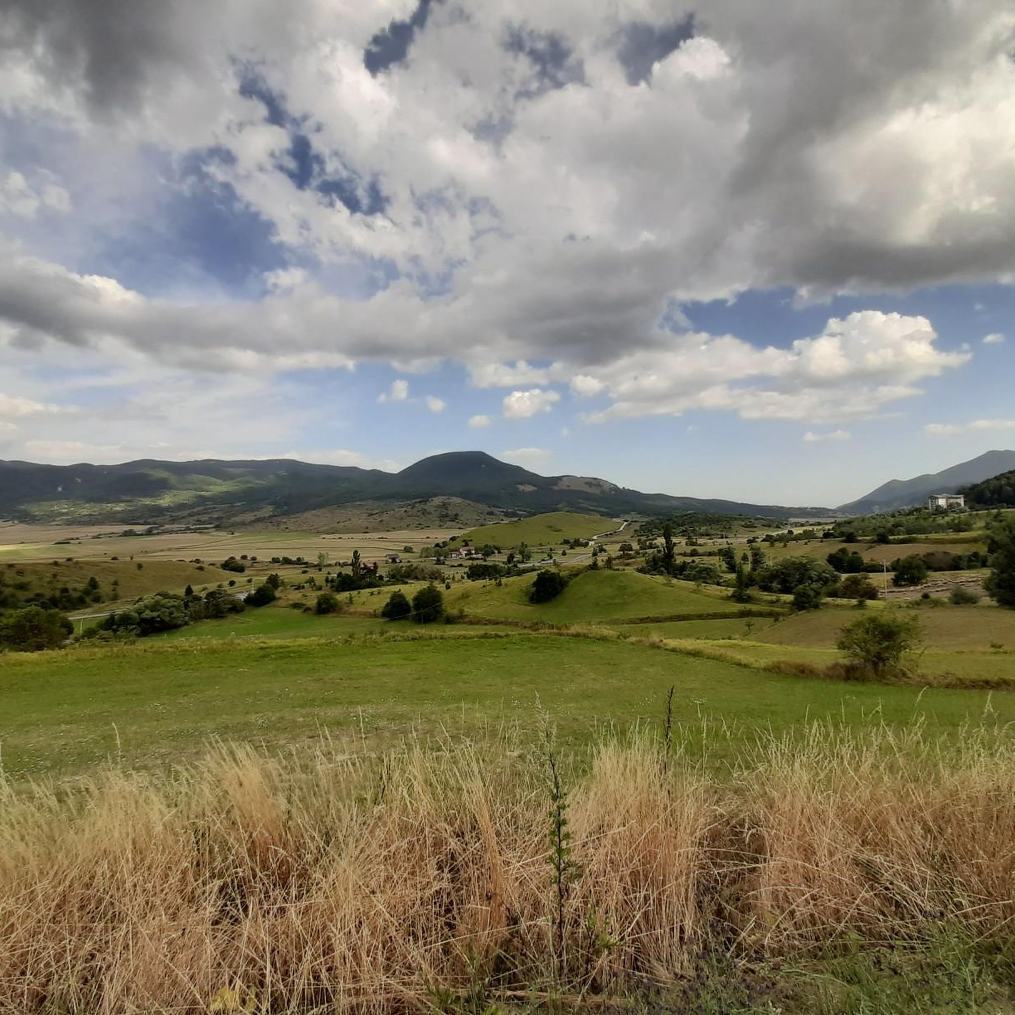
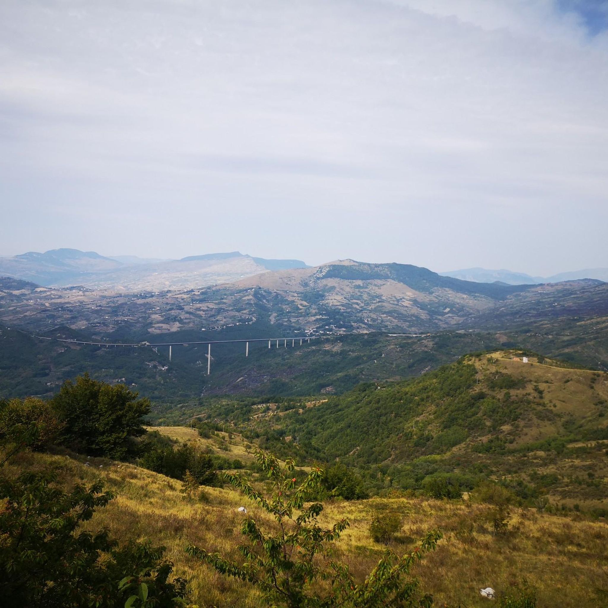
Hiking around Castiglione Messer Marino offers exploration of a landscape characterized by hilly terrain, dense woodlands, and river valleys. The region, situated in the Apennine foothills, provides a mix of elevations and natural features. Trails often traverse forested areas and open slopes, revealing views of the surrounding countryside. The area is suitable for those seeking varied natural environments for outdoor activity.
Best hiking trails around Castiglione Messer Marino
- The most popular hiking route is View of the Cascate del Verde…
Last updated: July 9, 2026
4.0
(10)
58
hikers
3.66km
01:06
100m
100m
Easy hike. Great for any fitness level. Easily-accessible paths. Suitable for all skill levels.
4.0
(4)
14
hikers
9.05km
02:51
340m
340m
Moderate hike. Good fitness required. Easily-accessible paths. Suitable for all skill levels.

Sign up for free
3.8
(4)
9
hikers
8.04km
02:37
380m
380m
Moderate hike. Good fitness required. Easily-accessible paths. Suitable for all skill levels.
5.0
(2)
6
hikers
7.51km
02:14
230m
220m
Moderate hike. Good fitness required. Easily-accessible paths. Suitable for all skill levels.
3
hikers
Moderate hike. Good fitness required. Easily-accessible paths. Suitable for all skill levels.
Get access to more routes and recommendations from other explorers.
Sign up for free
Already have an account?
Our route recommendations are based on thousands of hikes, rides, and runs completed by other people on komoot.
Start today with a free account
Your next adventure awaits.
Login or Signup
Popular around Castiglione Messer Marino

Tips from the Community

The excursion was done on June 16, 2024 and there was a total lack of water!
1
0

The fortress of Castelfraiano, which gives its name to Monte Castelfraiano, had the function of being a supervisory point for transhumance and regulating access from Monteferrante and the Val di Sangro.
1
0
The Green Falls are located within a Special Area of Conservation (SAC), with the falls originating from the Rio Verde. The organic quality is remarkable, there are crayfish and river crab, the dipper and the yellow wagtail, as well as the peregrine falcon and the red kite.
2
0
The green waterfalls are the highest perennial natural waterfalls in the Apennines. In total they fall for over 200 meters before joining the Sangro River.
2
0
Frequently Asked Questions
How many hiking trails are available around Castiglione Messer Marino?
There are over a dozen hiking routes around Castiglione Messer Marino, offering a variety of experiences through hilly terrain, dense woodlands, and river valleys. These trails cater to different ability levels, from easy walks to more moderate ascents.
Are there easy hiking trails suitable for beginners or families in Castiglione Messer Marino?
Yes, Castiglione Messer Marino offers several easy trails perfect for beginners or families. An excellent option is the View of the Cascate del Verde loop from Borrello, which is 3.1 miles (4.9 km) long and takes about 1 hour 29 minutes to complete, providing beautiful views of the Cascate del Verde.
What kind of terrain can I expect on hikes in this region?
The hiking trails around Castiglione Messer Marino are characterized by hilly terrain, dense woodlands, and river valleys. Situated in the Apennine foothills, routes often traverse forested areas and open slopes, providing varied natural features and elevations.
Are there any circular walks available in Castiglione Messer Marino?
Many of the trails in the region are designed as circular loops. For example, the Forest House loop from Rosello is a moderate 5.6 miles (9.0 km) path that winds through woodland, offering a complete loop experience.
What are some notable viewpoints or natural attractions along the trails?
Hikers can enjoy various viewpoints and natural attractions. The View of the Cascate del Verde loop from Borrello offers direct views of the Cascate del Verde. Additionally, the region features highlights such as the Monte Campo Ridge Crossing, providing scenic vistas.
Are there any historical sites or landmarks to explore near the hiking routes?
Yes, the area around Castiglione Messer Marino has several interesting historical sites. You can visit the San Nicola Staircase and Trivento Cathedral or the ancient Torre della Fara, offering glimpses into the region's past.
What do other hikers say about the trails in Castiglione Messer Marino?
The trails in Castiglione Messer Marino are highly rated by the komoot community, with an average score of 4.4 stars from over 40 reviews. Hikers often praise the varied terrain, the quiet woodlands, and the opportunities to explore the Apennine foothills.
Are there any challenging trails for experienced hikers?
While there are no trails classified as 'difficult' in this guide, there are several moderate routes that offer a good challenge. The Colle Carunchina loop from Torrebruna, for instance, is a 5.0 miles (8.0 km) trail leading through hilly landscapes, often completed in about 2 hours 37 minutes.
What is the typical duration for a hike in Castiglione Messer Marino?
Hike durations vary depending on the trail's length and difficulty. Easy routes like the View of the Cascate del Verde loop from Borrello can be completed in under 1.5 hours, while moderate trails such as the Bridge – Eremo di San Luca loop from Pescopennataro might take around 2 hours 45 minutes.
Are there any trails that pass by huts or shelters?
Yes, some areas offer access to facilities like huts. The Prato Gentile Hut is a notable point of interest in the vicinity, which could be a destination or a stop along a longer route.
Can I find trails that are suitable for cross-country skiing in winter?
While primarily a hiking guide, the region does offer winter sports opportunities. The Valley Loop Cross-Country Ski Trails are available for those looking to explore the area on skis during the colder months.
Most popular routes around Castiglione Messer Marino
Most popular attractions around Castiglione Messer Marino

Get inspired with the komoot mobile app


Explore more
Browse the best Hikes in other regions.
