The best road cycling routes around Randa
4.3
(16)
1,088
riders
15
rides
Road cycling around Randa is defined by its dramatic alpine setting within the Matter Valley, framed by the majestic Weisshorn and the formidable Mischabel massif. The region features routes that traverse flourishing alpine meadows, earthy high forests, and the wild waters of the Vispa river. Cyclists can expect varying terrain with the constant presence of snow-capped mountains, offering a diverse experience for different skill levels.
Best road cycling routes around Randa
- The most popular road cycling route is Mattmark Reservoir…
Last updated: October 8, 2026
5.0
(5)
154
riders
29.2km
01:55
880m
870m
Moderate road ride. Good fitness required. Some segments of this route may be unpaved and difficult to ride.
74
riders
98.8km
05:52
2,450m
2,450m
Hard road ride. Very good fitness required. Mostly well-paved surfaces and easy to ride.

3.0
(1)
77
riders
107km
06:06
2,370m
2,370m
Hard road ride. Very good fitness required. Mostly well-paved surfaces and easy to ride.
5.0
(2)
80
riders
47.5km
03:20
1,560m
1,560m
Hard road ride. Very good fitness required. Some segments of this route may be unpaved and difficult to ride.
4.0
(2)
79
riders
40.2km
02:07
650m
650m
Moderate road ride. Good fitness required. Mostly well-paved surfaces and easy to ride.
Get access to more routes and recommendations from other explorers.
Already have an account?
Our route recommendations are based on thousands of hikes, rides, and runs completed by other people on komoot.
Start today with a free account
Your next adventure awaits.
Popular around Randa
Walker's Haute Route – The ultimate alpine adventure
As versatile as a pocket knife: Exploring the Zermatt mountains with Victorinox
Fantastic hiking through the Alps with the Matterhorn Gotthard Railway
Between Italy and Switzerland – Tour of Monte Rosa
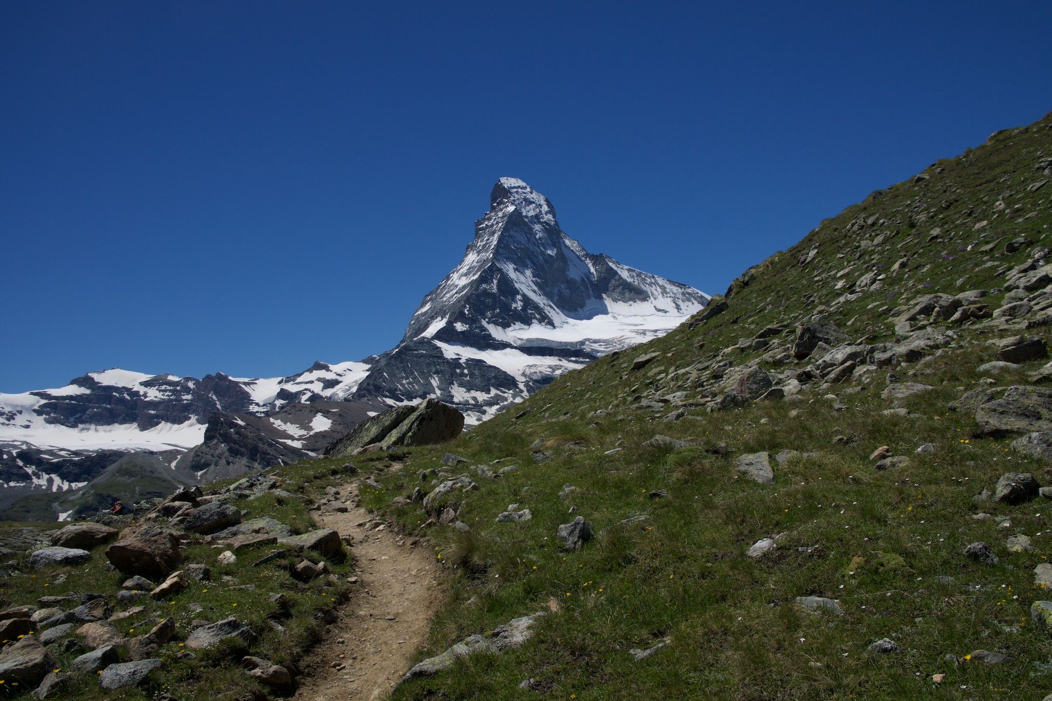
On the noble rock of the Alps – Cervino Matterhorn Ultra Race
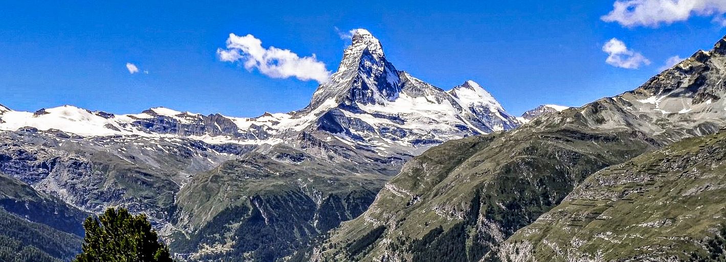
The arena of the 4000ers on the Swiss Tour Monte Rosa
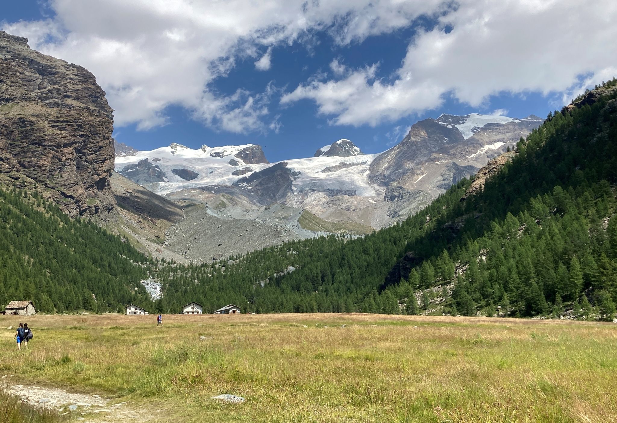
Tour of Monte Rosa – a trek among the Giants between Italy and Switzerland
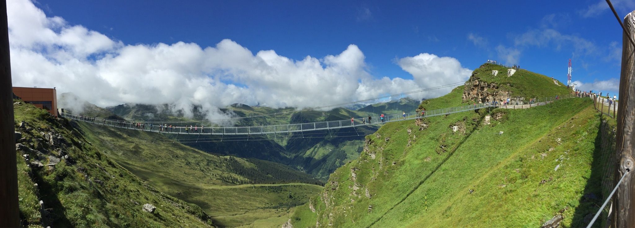
Spectacular suspension bridges
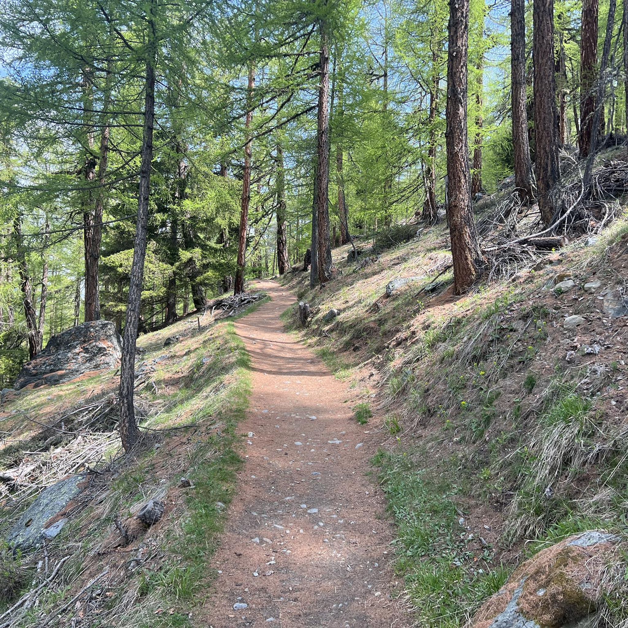
Hiking around Randa
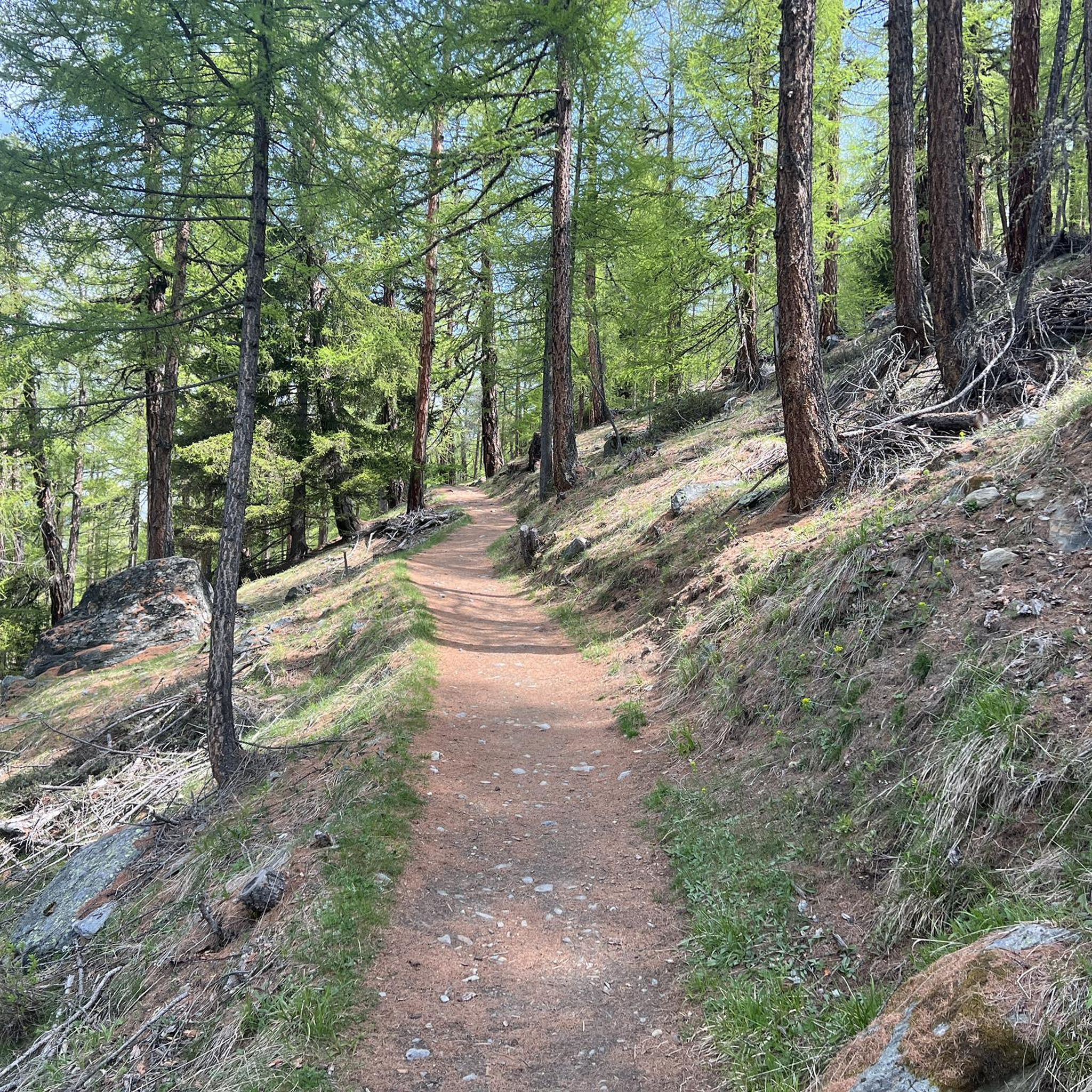
Cycling around Randa
Other adventures around Randa


Tips from the Community

The inn has up to 80 seats in the dining room and additionally a large sun terrace as well as a lounge area. It is only open during the summer season. Further information and opening hours can be found here: https://www.dorbia.ch/unser-restaurant
2
0

From here you have a great view towards Mattmark and there is a very nice playground.
8
0
From the dam you have a great view of the Saas Valley and the Valais mountains.
7
0

Chaos! Grab a seat on a patio and enjoy an espresso and a treat!
0
0

Super beautiful view ☺️ , also of the many waterfalls.
5
0

Simply a beautiful place!
0
0

Surrounded by high alpine tranquility and glacial peaks, the turquoise-blue Mattmarksee lies at your feet. This artificial lake is located at over 2,000 meters in the farthest reaches of the Saas Valley. It stores meltwater and supplies the region with renewable energy.
1
0

From Saas-Fee via Saas-Grund to the dam, the road is easily accessible for any bicycle.
0
0
Frequently Asked Questions
How many road cycling routes are available around Randa?
There are 15 road cycling routes around Randa listed on komoot. These routes offer a diverse experience, ranging from easy valley rides to challenging ascents through the alpine landscape.
What kind of terrain can I expect on road cycling routes in Randa?
Road cycling around Randa is defined by its dramatic alpine setting. You can expect routes that traverse flourishing alpine meadows, earthy high forests, and river valleys. The terrain varies significantly, with options from moderate loops to difficult paths featuring substantial elevation changes and the constant presence of snow-capped mountains.
Are there road cycling routes suitable for beginners or less experienced riders in Randa?
Yes, while Randa is known for its challenging alpine terrain, there are routes suitable for various ability levels. The guide lists 3 easy and 5 moderate routes, offering less strenuous options for those new to road cycling in the mountains or looking for a more relaxed ride.
What are some challenging road cycling routes for experienced riders in Randa?
For experienced riders seeking a challenge, Randa offers several difficult routes. One such route is the Grächen village center – Sankt Niklaus loop from Sunneggabahn Talstation, a 34.2-mile (55.0 km) path with significant elevation changes. Another demanding option is the Mountain restaurant Dorbia Moosalp – Moosalp South Ascent loop from Zermatt GGB, a 61.3-mile (98.7 km) trail leading through high alpine landscapes with substantial climbs.
What are the best times of year for road cycling in Randa?
The best time for road cycling in Randa, given its alpine location, is typically from late spring through early autumn (roughly May to October). During these months, the weather is generally more stable, and mountain passes are clear of snow, offering optimal conditions to enjoy the scenic routes and majestic peaks.
Are there any scenic viewpoints or natural attractions along the road cycling routes?
Absolutely. Randa is set against the backdrop of the mighty Weisshorn pyramid and surrounded by towering peaks like the Täschhorn and Dom. The routes offer breathtaking views of Switzerland's highest peaks and traverse the unspoiled Matter Valley. While cycling, you might encounter flourishing alpine meadows and earthy high forests. The region is also home to the Charles Kuonen Suspension Bridge, the longest pedestrian suspension bridge in the Alps, which offers spectacular views and could be a unique stop on a longer tour.
Can I find circular road cycling routes in Randa?
Yes, many of the road cycling routes around Randa are designed as loops, allowing you to start and end at the same point. Examples include the Mattmark Reservoir – Saas-Fee loop from Saas-Fee and the Grächen village center – Sankt Niklaus loop from Sunneggabahn Talstation.
What facilities are available for cyclists, such as cafes or accommodation, in Randa?
Randa is a charming and authentic mountain village. While specific cafes directly on every route aren't listed, the village itself and nearby towns like Zermatt (only 9 km away) offer various accommodation options, restaurants, and cafes where cyclists can refuel and relax. The region also features several mountain huts that can serve as a break point or an overnight stay.
Is Randa a good destination for family-friendly road cycling?
While Randa offers routes for varying skill levels, road cycling, especially in an alpine environment, can be demanding. For families with younger children or those seeking very gentle rides, it's best to stick to the designated 'easy' routes or flatter valley sections. The more challenging routes with significant elevation gain might not be suitable for all family members.
Where can I park my car when starting a road cycling tour in Randa?
Randa is accessible by car, and parking facilities are available within the village. Specific parking areas for cyclists starting tours are usually well-marked. For tours starting from nearby locations like Zermatt, note that Zermatt is car-free, so you would need to park in Täsch and take a shuttle or train to Zermatt.
How can I reach Randa using public transport for a cycling trip?
Randa is well-connected by public transport, particularly by train. It is located in the Matter Valley and has its own train station on the Matterhorn Gotthard Bahn line, making it easily accessible from major Swiss cities. You can transport your bike on the train, though specific rules and fees may apply, so it's advisable to check with the railway company beforehand.
What do other cyclists say about the road cycling experience in Randa?
The road cycling routes in Randa are highly rated by the komoot community, with an average score of 4.1 stars from over 10 reviews. Cyclists often praise the stunning alpine scenery, the variety of terrain, and the challenging climbs that offer rewarding panoramic views.
Are there any mountain passes I can cycle over near Randa?
Yes, the region around Randa is rich with mountain passes that offer challenging climbs and spectacular views. Some notable passes include Augstbord Pass, Gässi Pass Section, and Furggji Pass. These passes are often integrated into longer, more demanding road cycling tours.
Are there any huts or cabins along the road cycling routes for a break or overnight stay?
Yes, the alpine region around Randa features several huts and cabins that can provide a welcome break or even an overnight stay during longer tours. Examples include the Europa Hut, Turtmann Hut, and Britannia Hut. These offer a unique alpine experience and often serve food and drinks.
Most popular attractions around Randa

Get inspired with the komoot mobile app


Explore more
Browse the best Road cycling routes in other regions.
