The best walks and hikes around Castel Di Sangro
4.4
(761)
3,668
hikers
141
hikes
Hiking around Castel Di Sangro offers diverse landscapes, characterized by the Sangro River valley, dense forests, and rolling hills. The region features several nature reserves, providing varied terrain for outdoor activities. Hikers can explore paths through woodlands and along waterways, with routes often leading to scenic viewpoints.
Best hiking trails around Castel Di Sangro
- The most popular hiking route is Montedimezzo Nature Reserve Loop, a 4.4 miles (7.0 km) trail that takes 2 hours 5 minutes to complete, winding through the protected Montedimezzo Nature Reserve.
- Another top favourite among local hikers is Montedimezzo Forest Trail – Montedimezzo Nature Reserve loop from Montedimezzo Riserva Naturale MAB - Unesco, an easy 3.5 miles (5.7 km) path through the tranquil Montedimezzo Forest.
- Local hikers also love the Sangro River loop from Castel di Sangro, a 9.0 miles (14.5 km) trail leading through the Sangro River valley, often completed in about 3 hours 42 minutes.
- Hiking around Castel Di Sangro is defined by river valleys, nature reserves, and forested hills. The network offers options for different ability levels, from easy strolls to more challenging ascents.
- The routes in Castel Di Sangro are highly rated by the komoot community with an average score of 4.6 stars from over 700 reviews. More than 3500 hikers have used komoot to explore Castel Di Sangro's varied terrain.
Last updated: June 25, 2026
4.5
(2)
7
hikers
7.05km
02:06
210m
210m
Embark on a moderate hike through the serene woodlands of the Montedimezzo Nature Reserve, a UNESCO 'Man and Biosphere' site. This loop covers 4.4 miles (7.0 km) with an elevation gain of 700 feet (213 metres), taking about 2 hours and 5 minutes to complete. As you walk, you will find yourself surrounded by ancient beeches and Turkey oaks, offering a peaceful escape into nature. Keep an eye out for the monumental 'King Faione' beech, a 300-year-old tree so vast it requires five people to encircle its trunk. In spring, the forest floor transforms with colorful primroses and blue anemones, enhancing the quiet magic of the woods.
Before you set out, know that the Montedimezzo Nature Reserve is well-prepared for visitors. You will find a Visitor Centre and a Nature Museum on site, which can be helpful starting points. Parking is generally available at the reserve's main access points, making it easy to begin your adventure. For those seeking accessible options, the Colle San Biagio Trail within the reserve is specifically designed for ease of use, even providing electric scooters for individuals with mobility impairments.
The Montedimezzo Nature Reserve is not just a beautiful forest; it is a designated UNESCO 'Man and Biosphere' site, highlighting its ecological importance and commitment to conservation. This status means the area is managed to balance human activity with the preservation of its rich biodiversity. The presence of ancient trees like the 'King Faione' beech underscores the long-standing natural heritage protected within these boundaries. Exploring this reserve offers a unique opportunity to connect with a carefully preserved natural environment.
4.8
(12)
32
hikers
Easy hike. Great for any fitness level. Easily-accessible paths. Suitable for all skill levels.

Sign up for free
5.0
(2)
21
hikers
Moderate hike. Good fitness required. Easily-accessible paths. Suitable for all skill levels.
17
hikers
Easy hike. Great for any fitness level. Easily-accessible paths. Suitable for all skill levels.
5.0
(1)
10
hikers
11.5km
03:55
570m
570m
Moderate hike. Good fitness required. Easily-accessible paths. Suitable for all skill levels.
Get access to more routes and recommendations from other explorers.
Sign up for free
Already have an account?
Our route recommendations are based on thousands of hikes, rides, and runs completed by other people on komoot.
Start today with a free account
Your next adventure awaits.
Login or Signup
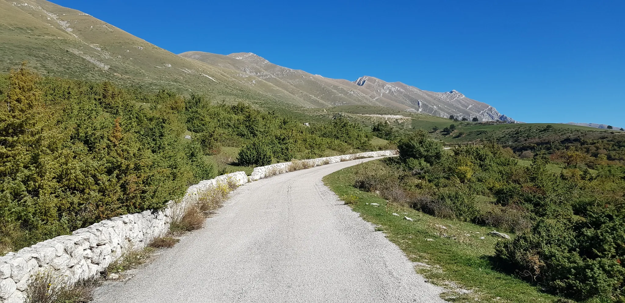
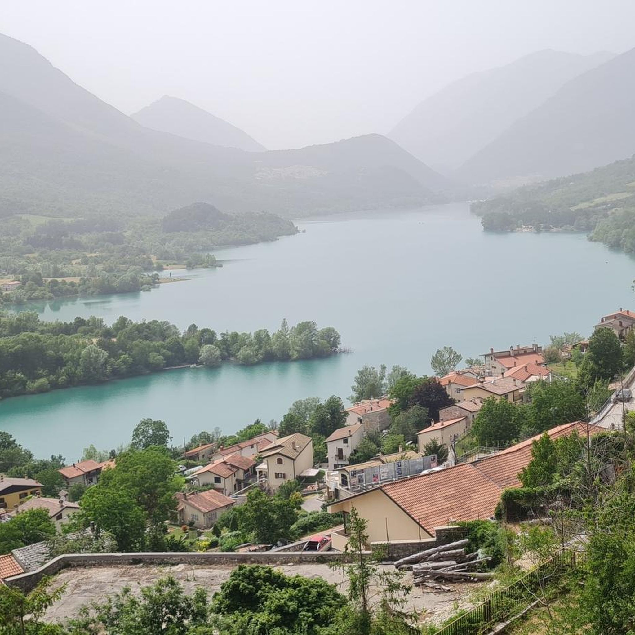
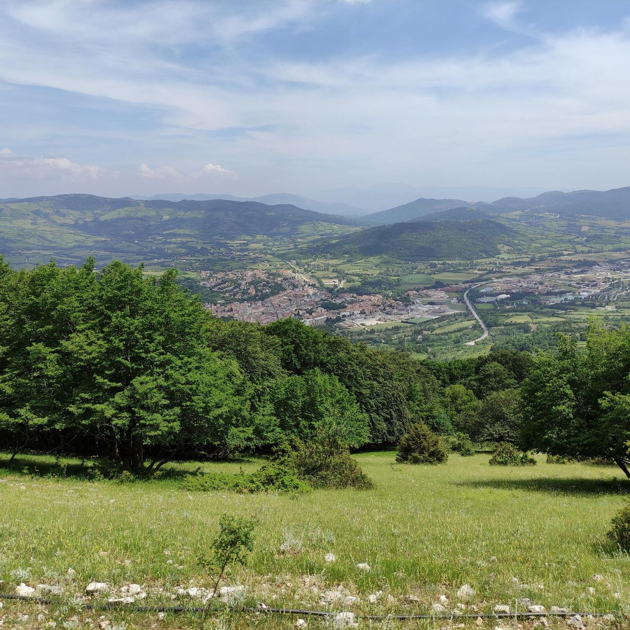
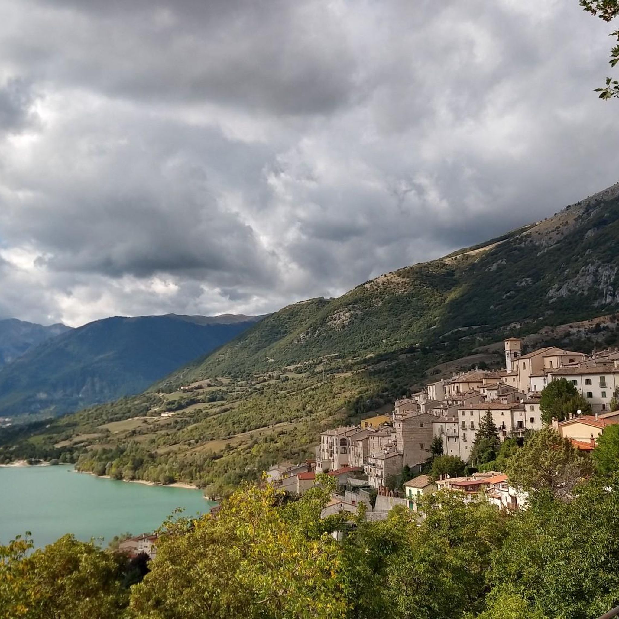
Other adventures around Castel Di Sangro

Tips from the Community

The Sangro river originates from Mount Turchio at 1,400 meters and flows into the Adriatic Sea. It is 122 kilometers long and has become quite famous in the world of sport fishing.
2
0

The Montedimezzo reserve is a nature reserve in the municipality of Vastogirardi and is part of the Unesco biosphere reserve of Collemeluccio-Montedimezzo. It houses a forest of centuries-old beech trees and is an ideal place for hiking, picnics and visiting the naturalistic museum and wildlife area.
1
0
The path immersed in the beech forest of the Montedimezzo Reserve arrives here at a crossroads called Pietra Quadra and located at almost 1200 meters above sea level. From here you can continue the Sentiero della Pietra Quadra (S11) or the Sentiero del Confine towards the Sentiero del Faione (S16 and S8).
2
0

The Celano-Foggia tratturo passes over the Sella Colle Mandrone, at an altitude of 1,061 metres, and descends towards San Pietro Avellana. Along the way, it runs alongside the Collemeluccio-Montedimezzo Biosphere Reserve, recognized by UNESCO in 1977. within that area there are silver firs, oaks and beech woods.
2
0

A beautiful natural area, lots of walking trails, all impeccably marked, impossible to get lost. There are also aviaries with animals inside where you can see the typical species that inhabit Molise.
14
0

a wonderful place of water fun for young and old 😉😉
17
0
The cycle path allows you to avoid the city circuit and enjoy the peace along the Sangro river in tranquility
16
0
At the end of the cycle path it is possible to cross the Sangro river thanks to the bridge therein.
13
0
Frequently Asked Questions
How many hiking trails are available around Castel Di Sangro?
There are over 130 hiking trails around Castel Di Sangro, offering a wide variety of options for different skill levels. You'll find everything from easy strolls to more challenging ascents through the region's diverse landscapes.
What types of hiking trails can I expect in Castel Di Sangro?
The trails around Castel Di Sangro are quite varied. You'll find approximately 45 easy routes, 69 moderate trails, and 16 more difficult options. This mix allows hikers to choose paths through river valleys, dense forests, and rolling hills, often leading to scenic viewpoints.
Are there any circular hiking routes in Castel Di Sangro?
Yes, Castel Di Sangro offers several excellent circular routes. A popular choice is the Montedimezzo Nature Reserve Loop, which is 4.4 miles (7.0 km) long and takes about 2 hours 5 minutes to complete. Another option is the Cima al Castello loop from Castel di Sangro, an easy 3.1 miles (3.2 km) trail.
Are the hiking trails in Castel Di Sangro suitable for families?
Many trails in Castel Di Sangro are suitable for families, especially those looking for easier walks. The Montedimezzo Forest Trail – Montedimezzo Nature Reserve loop is an easy 3.5 miles (5.7 km) path through tranquil woodlands, perfect for a family outing. Look for routes marked as 'easy' for the most family-friendly experiences.
Can I bring my dog on the hiking trails in Castel Di Sangro?
Generally, dogs are welcome on many hiking trails in the Castel Di Sangro area. However, it's always advisable to keep your dog on a leash, especially in nature reserves like Montedimezzo, and to check specific regulations for protected areas. Always carry water for your pet and clean up after them.
What is the best time of year to go hiking in Castel Di Sangro?
The best time for hiking in Castel Di Sangro is typically during spring (April to June) and autumn (September to October). During these seasons, the weather is mild, and the landscapes are particularly beautiful with blooming flowers or vibrant fall foliage. Summer can be warm, while winter offers opportunities for snowshoeing or winter hiking, though some higher trails may be inaccessible.
Are there any scenic viewpoints or landmarks along the trails?
Yes, the region offers several scenic spots. Many trails provide views of the Sangro River valley and surrounding hills. You can also explore nearby attractions such as Barrea and Lake Barrea, or historical sites like the Fanzago Palace in Castel Di Sangro itself.
What do other hikers say about the trails in Castel Di Sangro?
The hiking trails in Castel Di Sangro are highly rated by the komoot community, with an average score of 4.6 stars from over 700 reviews. Hikers often praise the diverse landscapes, the tranquility of the nature reserves, and the well-maintained paths that cater to various fitness levels.
Are there any trails that lead to lakes or rivers for a refreshing stop?
Absolutely. The region is characterized by the Sangro River, and routes like the Sangro River loop from Castel di Sangro follow its course, offering pleasant riverside walks. Additionally, you can find beautiful lakes nearby, such as Montagna Spaccata Lake and Lake Castel San Vincenzo, which are great for a scenic break.
Is there parking available at the trailheads?
While specific parking details vary by trailhead, many popular starting points for hikes around Castel Di Sangro, especially those near nature reserves or villages, offer designated parking areas. It's always a good idea to check the tour details on komoot for specific parking information for your chosen route.
Are there any less-known or 'hidden gem' trails in the area?
For a less-trafficked experience, consider the Stazzo dell'Acqua Puzza loop from Castel di Sangro. This moderate 7.1 miles (11.5 km) trail offers a more secluded journey through the landscape, with significant elevation gain for those seeking a bit more challenge and solitude away from the more popular paths.
Most popular attractions around Castel Di Sangro

Get inspired with the komoot mobile app


Explore more
Browse the best Hikes in other regions.
