The best walks and hikes around Rionero Sannitico
4.4
(99)
436
hikers
26
hikes
Hiking around Rionero Sannitico offers access to diverse landscapes, characterized by forested areas, river valleys, and nature reserves. The region's terrain includes gentle slopes and more challenging ascents, providing varied experiences for hikers. Trails often lead through protected natural environments, showcasing local flora and fauna.
Best hiking trails around Rionero Sannitico
- The most popular hiking route is Montedimezzo Nature Reserve Loop, a 4.4 miles (7.0 km) trail that takes 2 hours 5 minutes to complete. This moderate route explores…
Last updated: June 25, 2026
4.5
(2)
7
hikers
7.05km
02:06
210m
210m
Moderate hike. Good fitness required. Easily-accessible paths. Suitable for all skill levels.
4.8
(12)
32
hikers
Easy hike. Great for any fitness level. Easily-accessible paths. Suitable for all skill levels.

Sign up for free
5.0
(1)
10
hikers
18.2km
06:46
1,100m
1,100m
Hard hike. Very good fitness required. Mostly accessible paths. Sure-footedness required.
12
hikers
Easy hike. Great for any fitness level. Easily-accessible paths. Suitable for all skill levels.
5.0
(1)
2
hikers
Moderate hike. Good fitness required. Easily-accessible paths. Suitable for all skill levels.
Get access to more routes and recommendations from other explorers.
Sign up for free
Already have an account?
Our route recommendations are based on thousands of hikes, rides, and runs completed by other people on komoot.
Start today with a free account
Your next adventure awaits.
Login or Signup
Tips from the Community

The path immersed in the beech forest of the Montedimezzo Reserve arrives here at a crossroads called Pietra Quadra and located at almost 1200 meters above sea level. From here you can continue the Sentiero della Pietra Quadra (S11) or the Sentiero del Confine towards the Sentiero del Faione (S16 and S8).
1
0
The Montedimezzo reserve is a nature reserve in the municipality of Vastogirardi and is part of the Unesco biosphere reserve of Collemeluccio-Montedimezzo. It houses a forest of centuries-old beech trees and is an ideal place for hiking, picnics and visiting the naturalistic museum and wildlife area.
1
0
The path immersed in the beech forest of the Montedimezzo Reserve arrives here at a crossroads called Pietra Quadra and located at almost 1200 meters above sea level. From here you can continue the Sentiero della Pietra Quadra (S11) or the Sentiero del Confine towards the Sentiero del Faione (S16 and S8).
2
0

The Celano-Foggia tratturo passes over the Sella Colle Mandrone, at an altitude of 1,061 metres, and descends towards San Pietro Avellana. Along the way, it runs alongside the Collemeluccio-Montedimezzo Biosphere Reserve, recognized by UNESCO in 1977. within that area there are silver firs, oaks and beech woods.
2
0

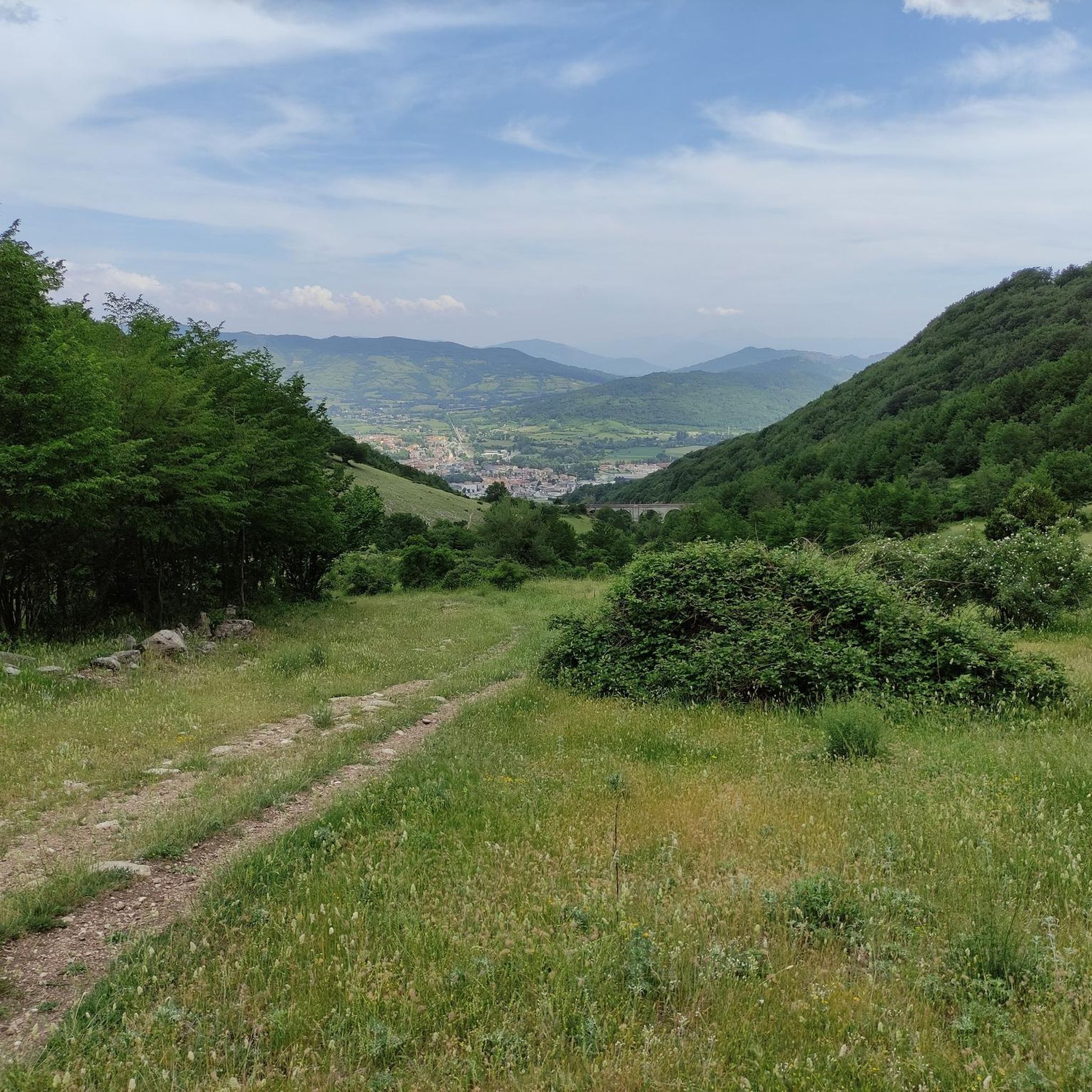
A beautiful natural area, lots of walking trails, all impeccably marked, impossible to get lost. There are also aviaries with animals inside where you can see the typical species that inhabit Molise.
14
0

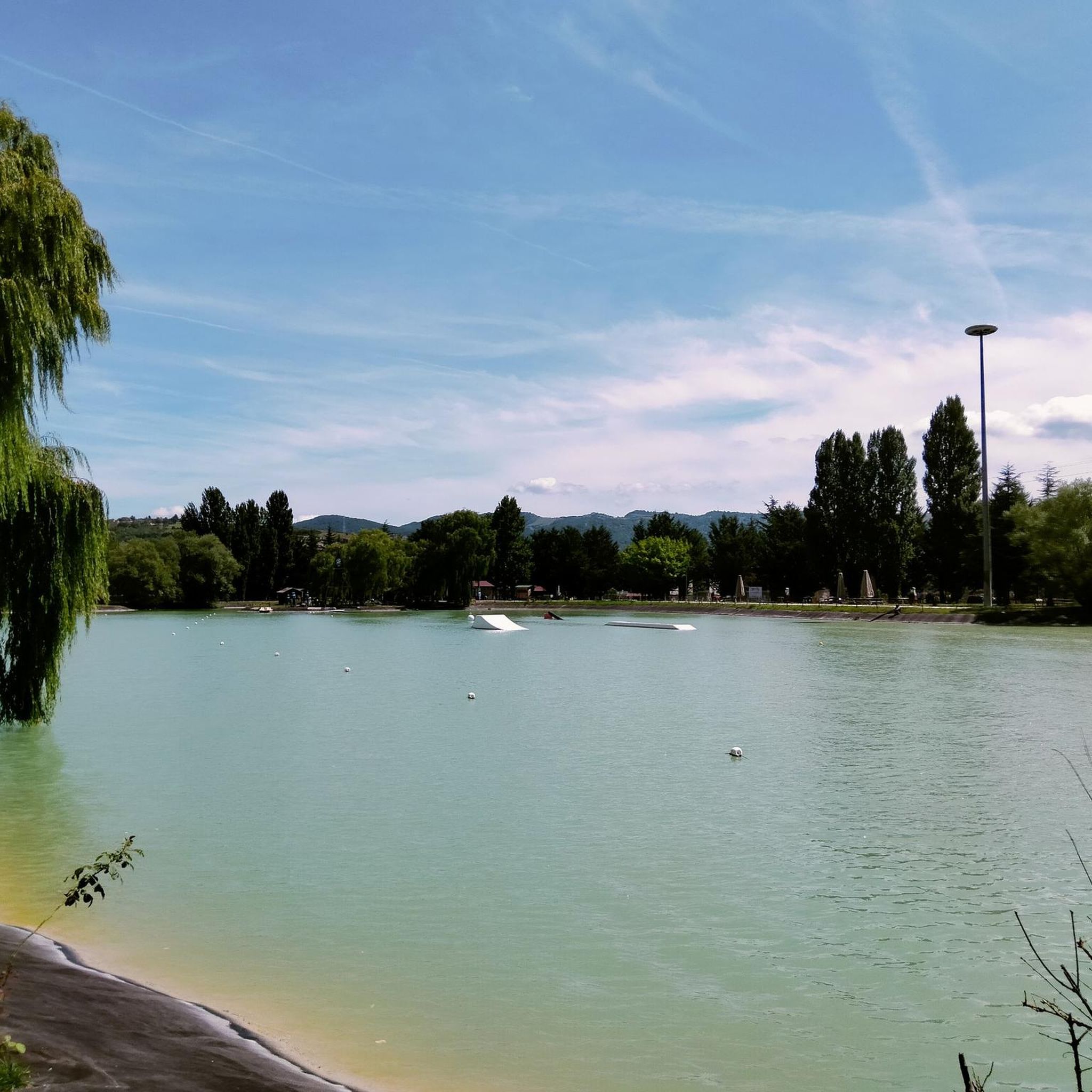
a wonderful place of water fun for young and old 😉😉
17
0
The cycle path allows you to avoid the city circuit and enjoy the peace along the Sangro river in tranquility
16
0

the beautiful Montedimezzo reserve
1
0
Frequently Asked Questions
How many hiking trails are available around Rionero Sannitico?
There are over 25 hiking trails around Rionero Sannitico, offering a variety of experiences from easy walks to more challenging ascents. The region is known for its diverse landscapes, including forested areas, river valleys, and nature reserves.
Are there easy hiking trails suitable for beginners or families in Rionero Sannitico?
Yes, Rionero Sannitico offers several easy trails perfect for beginners and families. For a gentle experience, consider the Montedimezzo Forest Trail – Montedimezzo Nature Reserve loop, which is 3.5 miles (5.7 km) long and takes about 1 hour 40 minutes. This route provides a pleasant walk through the Montedimezzo forest.
What kind of natural attractions can I see along the hiking trails?
The trails around Rionero Sannitico often lead through protected natural environments. You can explore the Montedimezzo Nature Reserve, known for its dense woodlands. Other notable natural sights include Lake Castel San Vincenzo and the Volturno Spring.
Are there any circular walks available in Rionero Sannitico?
Yes, many routes in the area are circular, allowing you to start and end at the same point. A popular option is the Montedimezzo Nature Reserve Loop, a moderate 4.4-mile (7.0 km) trail that takes approximately 2 hours 5 minutes to complete.
What do other hikers enjoy most about hiking in Rionero Sannitico?
The hiking routes in Rionero Sannitico are highly rated by the komoot community, with an average score of 4.4 stars from over 90 reviews. Hikers often praise the region's diverse landscapes, including nature reserves, dense woodlands, and river paths, as well as the variety of options for different ability levels.
Are there any challenging hikes for experienced hikers?
Yes, for those seeking a more strenuous adventure, there are challenging routes available. The Stazzo dell'Acqua Puzza loop from Castel di Sangro is a difficult 11.3-mile (18.2 km) trail with significant elevation gain, typically taking over 6 hours to complete.
What is the best time of year to go hiking in Rionero Sannitico?
The region is generally pleasant for hiking from spring through autumn. Spring brings blooming flora, while autumn offers vibrant foliage. Summer can be warm, so early morning or late afternoon hikes are recommended. Winter hiking is possible, but some higher elevation trails may require appropriate gear due to snow or ice.
Are there viewpoints along the trails in Rionero Sannitico?
Yes, several trails offer scenic viewpoints. You can find stunning vistas such as the View of Lake Castel San Vincenzo and the Mainarde mountains, providing panoramic views of the surrounding landscape.
Are the hiking trails in Rionero Sannitico dog-friendly?
Many trails in the Rionero Sannitico area are suitable for dogs, especially those through forests and open countryside. However, it's always advisable to keep dogs on a leash, especially in nature reserves or areas with wildlife, and to check specific trail regulations before you go.
What kind of wildlife can I expect to see while hiking?
Given the region's protected natural environments, including the Montedimezzo Nature Reserve, you may encounter various wildlife. Keep an eye out for local bird species, deer, and other small mammals. Respecting their habitat by staying on marked trails and keeping quiet will increase your chances of spotting them.
Are there any historical or cultural landmarks near the hiking routes?
Beyond natural beauty, the area also features historical sites. The Abbey Complex of San Vincenzo al Volturno is a significant historical and religious site worth exploring, and the Hermitage of San Michele at Foce offers another glimpse into the region's past.
Is there public transport access to trailheads in Rionero Sannitico?
Public transport options to specific trailheads in Rionero Sannitico can be limited. It is often recommended to use a car for greater flexibility in reaching various starting points. Some larger towns nearby may have bus services, but direct connections to remote trailheads are rare.
Where can I find parking for hiking trails in Rionero Sannitico?
Parking is generally available near popular trailheads and in the villages surrounding Rionero Sannitico. For routes like those in the Montedimezzo Nature Reserve, designated parking areas are usually provided. Always check local signage for any parking restrictions or fees.
Most popular attractions around Rionero Sannitico

Get inspired with the komoot mobile app


Explore more
Browse the best Hikes in other regions.
