The best walks and hikes around Monteroduni
4.4
(65)
225
hikers
36
hikes
Hiking around Monteroduni offers diverse landscapes within the Molise region of Italy. The area is characterized by rolling hills, river valleys, and sections of the Matese Regional Park. Trails often traverse agricultural land, wooded areas, and provide views of the local countryside. The terrain varies from gentle paths suitable for families to more challenging routes with moderate elevation changes.
Best hiking trails around Monteroduni
- The most popular hiking route is Gallo Matese – Regional Park of Matese, a 8.8…
Last updated: May 11, 2026
4.0
(3)
16
hikers
14.1km
04:21
470m
470m
Moderate hike. Good fitness required. Easily-accessible paths. Suitable for all skill levels.
3.07km
01:18
270m
280m
Easy hike. Great for any fitness level. Easily-accessible paths. Suitable for all skill levels.

Sign up for free
22.7km
06:00
210m
210m
Hard hike. Very good fitness required. Easily-accessible paths. Suitable for all skill levels.
4.6
(9)
13
hikers
12.2km
03:50
440m
440m
Moderate hike. Good fitness required. Easily-accessible paths. Suitable for all skill levels.
4.6
(5)
12
hikers
8.60km
03:00
450m
450m
Moderate hike. Good fitness required. Easily-accessible paths. Suitable for all skill levels.
Get access to more routes and recommendations from other explorers.
Sign up for free
Already have an account?
Our route recommendations are based on thousands of hikes, rides, and runs completed by other people on komoot.
Start today with a free account
Your next adventure awaits.
Login or Signup

Tips from the Community

I am like everyone over the barrier
0
0

The Cipresseta di Fontegreca is one of the most well-equipped natural areas in the Matese: a forest of centuries-old cypress trees crisscrossed by streams, waterfalls, and shaded paths. There is a €3 entrance fee to the park, which allows for sustainable management of the area. Visitors have access to picnic tables, shaded areas for laying out a towel, public restrooms, and a seasonal shuttle service from the parking lot.
1
0

The section of trail E1 that passes over the dam is closed and marked with chains. You must turn off to the side, onto the road.
0
0

The cypress grove is accessible with the payment of 3 euros per person. It can be reached by shuttle, offered by a local association that takes care of it following the payment of 1 euro per person. It is an enchanting place to refresh and stop for a picnic. From there, several challenging and unmarked paths (mule tracks) wind towards the highest parts of the ridges where it stands, to be followed with caution.
0
0

The Le Mortine Oasis was created in 1987, the result of an agreement between WWF Molise and ENEL. The Oasis hides natural paths immersed in the forest made up of poplars, alders, willows, adjacent to the banks of the Volturno.
0
0

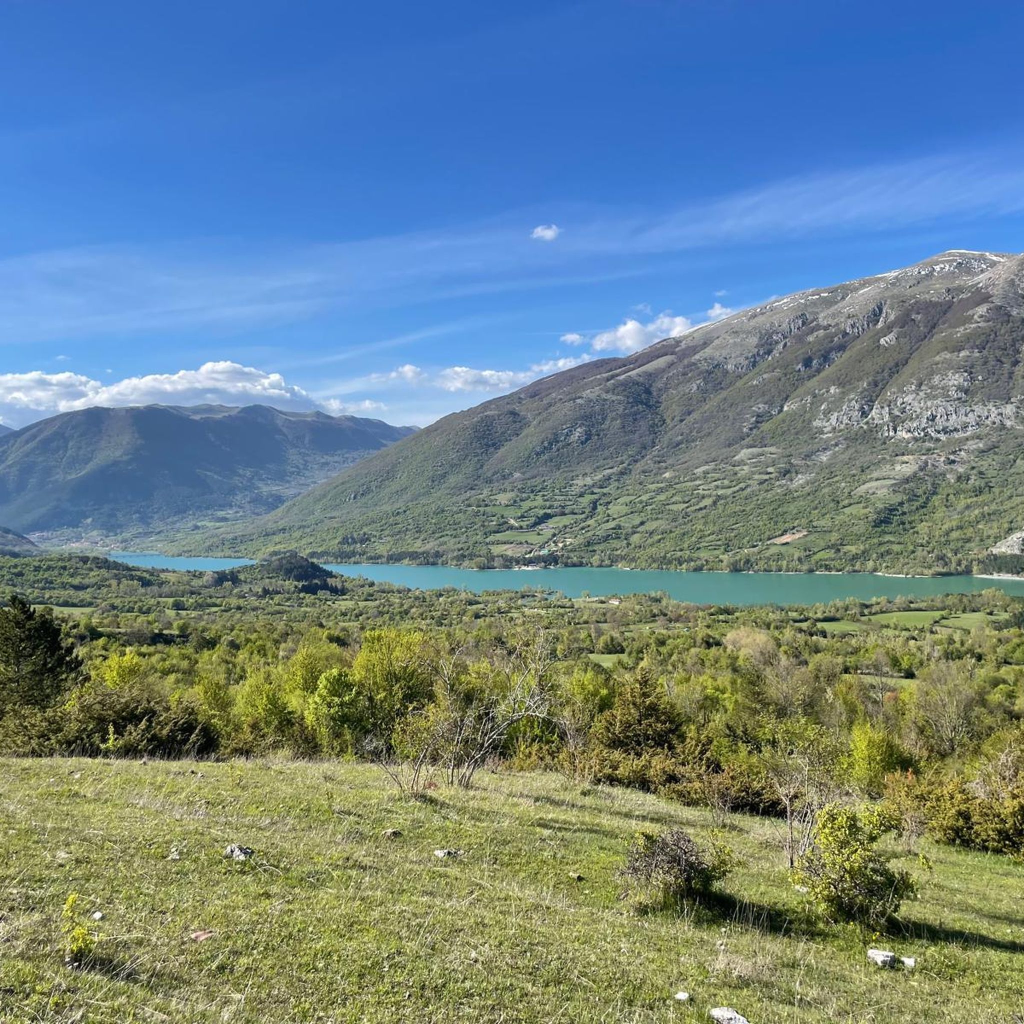
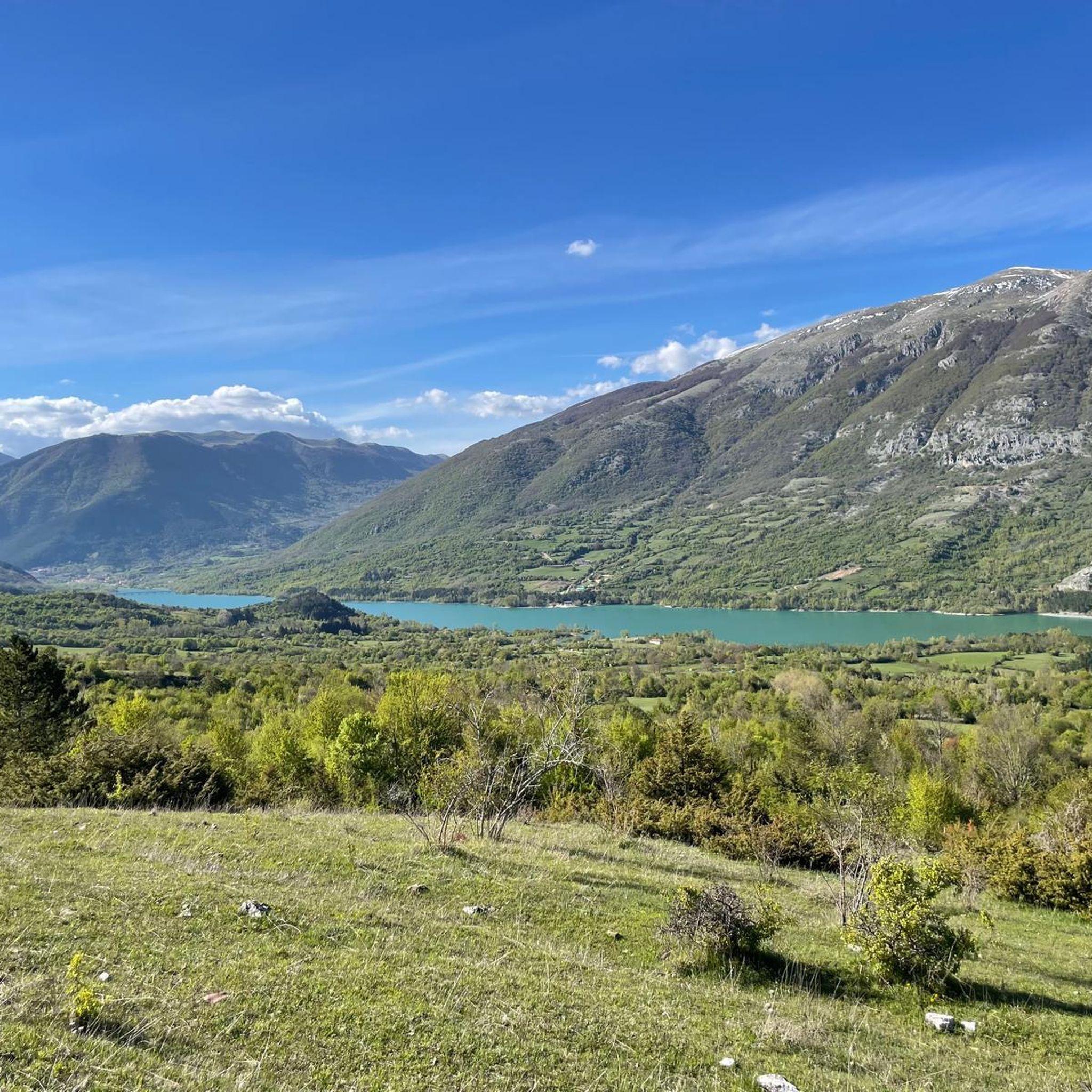
Lake Gallo is an artificial lake located in the Matese Regional Park. A dam powers the Capriati hydroelectric power plant in Volturno using the waters of the Sava river. The landscape around the lake is suggestive with the Matese massif as a backdrop.
0
0
The Bosco degli Zappini, better known as the "Cipresseta di Fontegreca", is one of the major symbols of the Matese Park. It is the subject of study because it is the only cypress forest of this size in Italy. Here there are also some fascinating waterfalls and natural pools.
1
0
It is said that in this cave, in the 18th century, two young local shepherds saw the image of the Madonna, today preserved in the Sanctuary of the Madonna dei Cipressi. Since then the cave has been consecrated to the Madonna dei Cipressi and is a pilgrimage destination.
0
0
Frequently Asked Questions
How many hiking trails are there around Monteroduni?
There are over 30 hiking trails around Monteroduni, offering a variety of experiences. You'll find routes ranging from easy strolls to more challenging full-day hikes, catering to different fitness levels.
Are there any easy hiking trails suitable for beginners or families?
Yes, Monteroduni offers several easy trails perfect for beginners or families. For a pleasant and shorter walk, consider the Val di Conche Trail, which is 3.1 km long and takes about an hour and a half to complete. There are 7 easy routes in total in the area.
What kind of landscapes can I expect to see while hiking near Monteroduni?
Hiking around Monteroduni offers diverse landscapes characteristic of the Molise region. You'll encounter rolling hills, picturesque river valleys, agricultural fields, and wooded areas. Many trails also provide views into sections of the Matese Regional Park, showcasing natural parkland.
Are there any circular hiking routes available?
Yes, there are several circular routes. A notable option is the Oasi le Mortine – loop tour, a longer 22.7 km trail that takes about 6 hours to complete, leading through varied natural habitats. Another is the View of Lake Gallo – Path of the Fairies loop from Gallo Matese, a moderate 12.2 km route.
What are some interesting natural attractions or landmarks to see along the trails?
The area around Monteroduni features several natural attractions. You can explore the Lete Waterfalls, or visit various lakes such as Lake Gallo and Campo Figliuolo Pond. The Path of the Fairies is also a popular highlight.
Is Monteroduni a good destination for dog-friendly hiking?
While specific dog-friendly regulations can vary by trail and protected area, the natural, open landscapes around Monteroduni, including agricultural fields and wooded paths, generally offer good opportunities for hiking with dogs. Always ensure your dog is under control and check local signage for any restrictions, especially within the Matese Regional Park.
What is the best time of year to go hiking in Monteroduni?
The best time for hiking in Monteroduni is typically during the spring (April to June) and autumn (September to October). During these seasons, the weather is mild and pleasant, and the natural scenery is at its most vibrant, with blooming flowers in spring and colorful foliage in autumn. Summer can be hot, while winter might offer different challenges depending on snow conditions, especially at higher elevations.
Are there opportunities for winter hiking in Monteroduni?
Winter hiking in Monteroduni is possible, particularly on lower elevation trails. However, conditions can vary, especially in areas closer to the Matese Regional Park where snow may be present. It's advisable to check local weather forecasts and trail conditions before heading out and to be prepared with appropriate winter gear.
What do other hikers enjoy most about the trails in Monteroduni?
The trails around Monteroduni are highly rated by the komoot community, with an average score of 4.6 stars from over 40 reviews. Hikers often praise the diverse terrain, from gentle riverine paths to more challenging routes in the natural parkland, and the opportunity to explore the Molise region's authentic countryside.
Are there any longer, more challenging hikes for experienced hikers?
Yes, for experienced hikers looking for a challenge, there are 11 difficult routes in the area. The Oasi le Mortine – loop tour, at 22.7 km, is a demanding option. Another moderate but substantial route is Gallo Matese – Regional Park of Matese, covering 14.1 km with significant elevation changes.
Are there places to eat or get refreshments near the hiking trails?
While specific cafes directly on every trail might be limited, Monteroduni and nearby villages offer local trattorias and cafes where you can find refreshments and traditional Molise cuisine. It's always a good idea to carry sufficient water and snacks, especially on longer routes, and plan your stops in advance.
Most popular attractions around Monteroduni

Get inspired with the komoot mobile app


Explore more
Browse the best Hikes in other regions.
