The best walks and hikes around Rabenkirchen-Faulück
4.2
(57)
244
hikers
24
hikes
Hiking around Rabenkirchen-Faulück offers diverse natural landscapes in the Schleswig-Flensburg district, situated on the Baltic Sea coast. The region is characterized by its proximity to the Schlei, a narrow inlet of the Baltic Sea, providing scenic views and a mix of coastal scenery and natural beauty. The terrain includes varied paths suitable for different fitness levels, from easy walks to moderate treks.
Best hiking trails around Rabenkirchen-Faulück
- The most popular hiking route is Kappeln Fishing Harbor – Museum Harbour Kappeln…
Last updated: July 10, 2026
4.7
(7)
34
hikers
Moderate hike. Good fitness required. Easily-accessible paths. Suitable for all skill levels.
4.3
(4)
29
hikers
Moderate hike. Good fitness required. Easily-accessible paths. Suitable for all skill levels.

Sign up for free
4.3
(7)
20
hikers
Moderate hike. Good fitness required. Easily-accessible paths. Suitable for all skill levels.
4.5
(4)
23
hikers
Easy hike. Great for any fitness level. Easily-accessible paths. Suitable for all skill levels.
4.6
(5)
22
hikers
5.30km
01:22
30m
30m
Easy hike. Great for any fitness level. Easily-accessible paths. Suitable for all skill levels.
Get access to more routes and recommendations from other explorers.
Sign up for free
Already have an account?
Our route recommendations are based on thousands of hikes, rides, and runs completed by other people on komoot.
Start today with a free account
Your next adventure awaits.
Login or Signup
Tips from the Community

Found in the entire pedestrian zone.
0
0

Schleifähre Arnis... always a highlight
1
0


When the weather is nice you can go swimming
0
0

Nice idea with the bronze herring plates with the names engraved on them.
0
0
Beautifully preserved old building
1
0
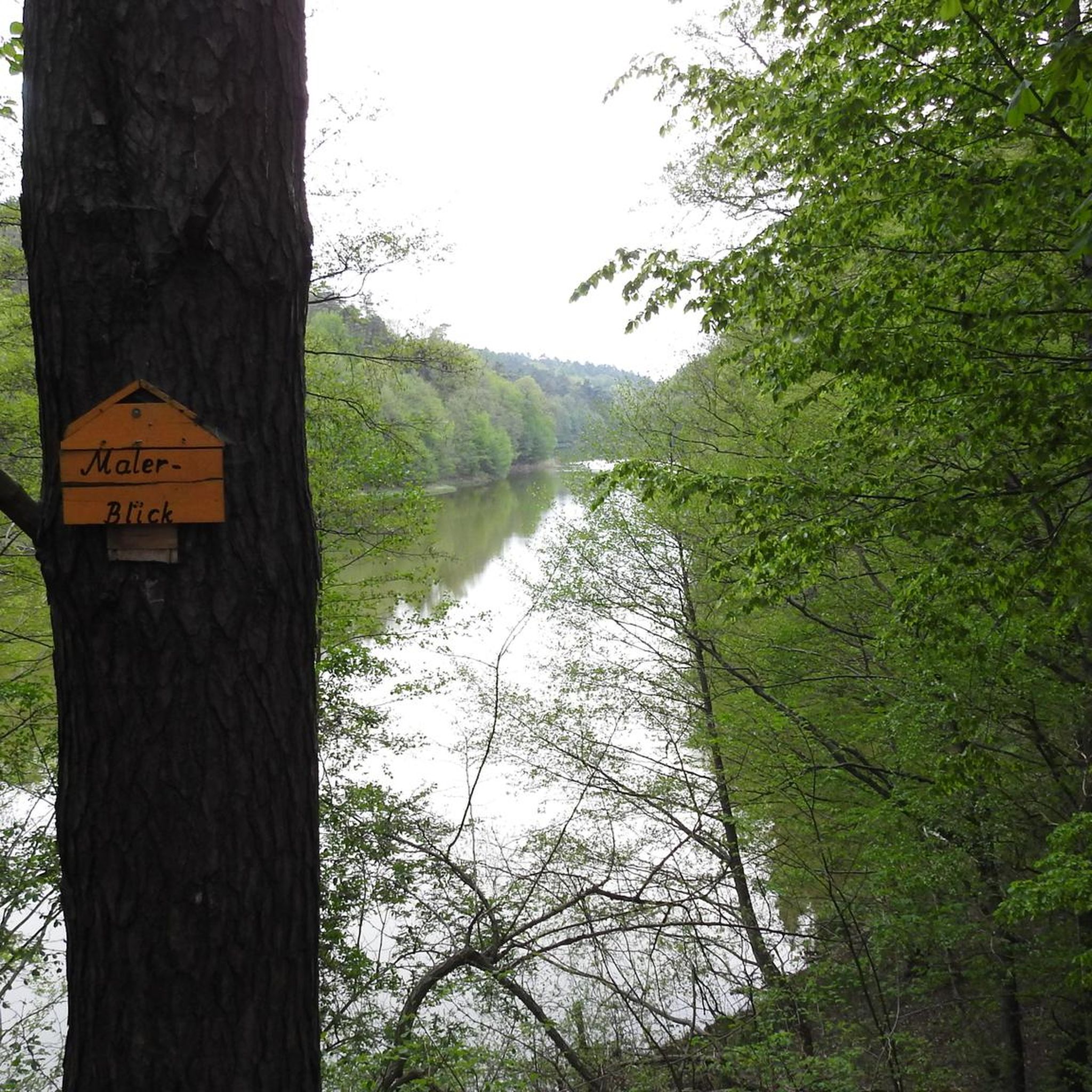
Without question it is a beautiful area, but creating a highlight with the name view is very arbitrary and meaningless.
0
0
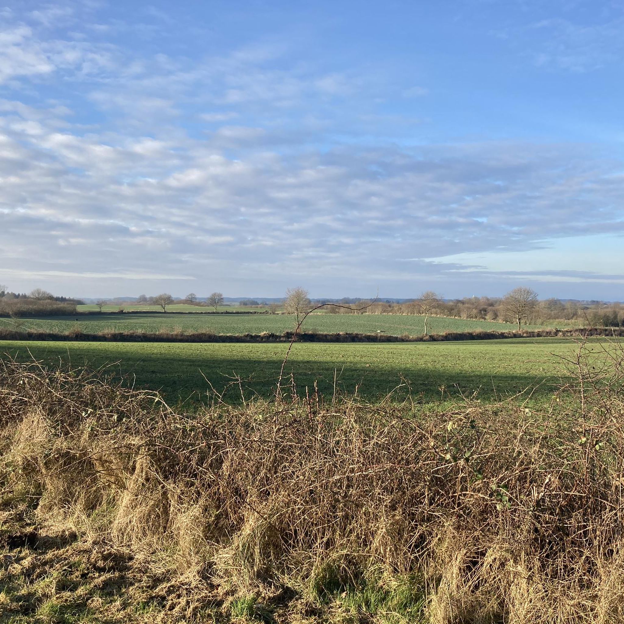
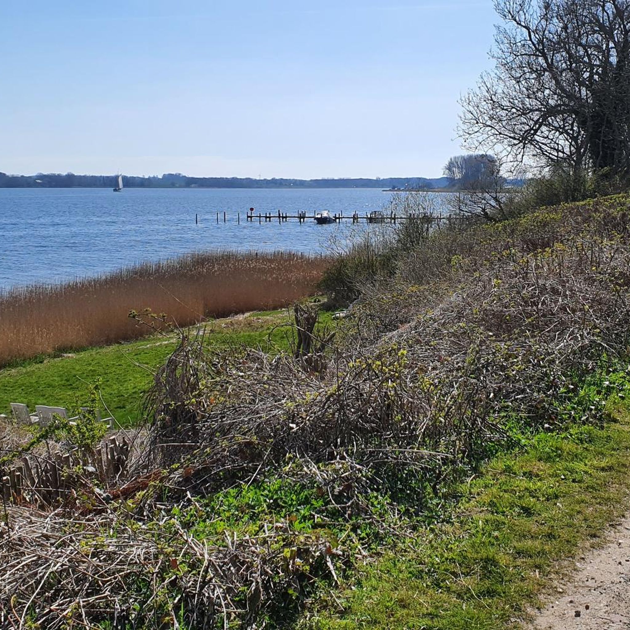
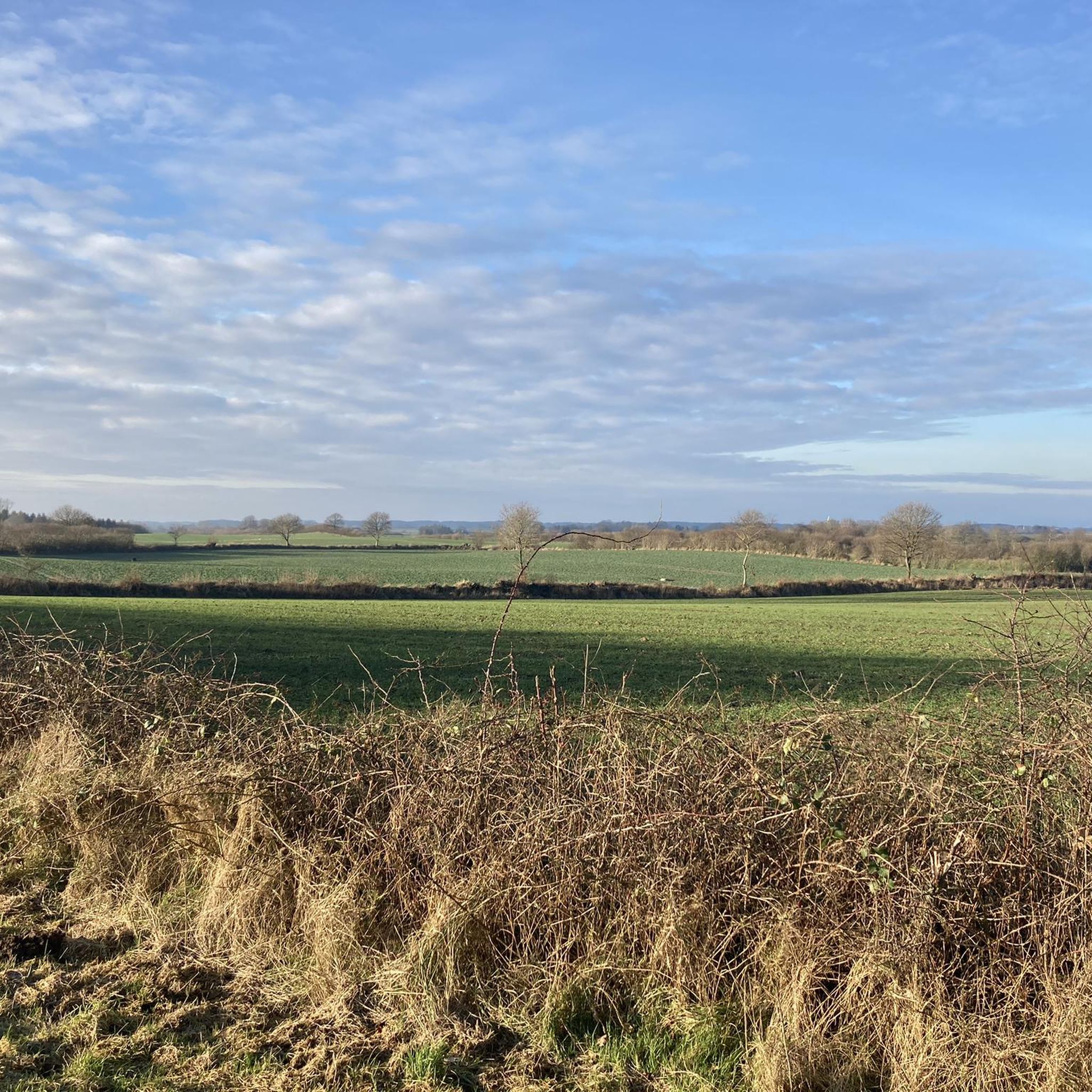
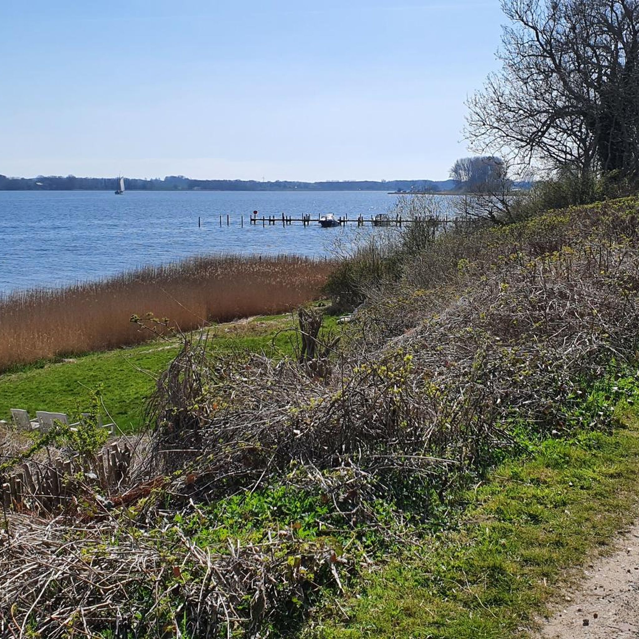
Gravel path between Offa-Quelle and the bend up to Hania-Höh - directly next to the Schlei.
0
0
Frequently Asked Questions
How many hiking trails are there in Rabenkirchen-Faulück?
Rabenkirchen-Faulück offers a diverse network of over 20 hiking trails. These routes cater to various preferences, ranging from easy strolls to more moderate treks, all set against the scenic backdrop of the Schlei region.
What kind of terrain can I expect on hikes around Rabenkirchen-Faulück?
The terrain around Rabenkirchen-Faulück is characterized by its proximity to the Schlei, a narrow inlet of the Baltic Sea. You can expect a charming mix of coastal scenery, well-maintained paths, and natural beauty. Trails often feature views of the water, passing through small towns and nature gardens.
Are there any easy hiking trails suitable for beginners or families?
Yes, Rabenkirchen-Faulück has 17 easy hiking trails. A great option for families or beginners is the Campingpark Schlei – View of the Schlei loop from Campingpark Schlei-Karschau. This route is just under 5 km (3.1 miles) and offers accessible views of the Schlei.
Can I find circular hiking routes in the area?
Many of the trails in Rabenkirchen-Faulück are designed as circular routes, allowing you to start and end at the same point. For example, the Moostoft Nature Garden Ekenis – Campingpark Schlei loop from Rabenkirchen-Faulück is a moderate 9.5 km (5.9 miles) loop that takes you through a beautiful nature garden.
What are some notable landmarks or attractions to see while hiking?
While hiking, you can discover several interesting landmarks. The Arnis Beach on the Schlei – View over the Schlei loop from Campingpark Schlei-Karschau trail passes by Arnis, Germany's smallest town, known for its picturesque facades (Arnis — Germany's smallest town). You might also encounter the Kappeln Bascule Bridge or the scenic Lindaunis Bridge.
Are there good viewpoints along the trails?
Yes, the region offers several excellent viewpoints, particularly along the Schlei. The View of the Schlei loop from Rabenkirchen-Faulück provides lovely vistas. You can also find specific viewpoints like the View of the Schlei near Lindaunis, offering panoramic scenes of the inlet.
Is Rabenkirchen-Faulück a good place for dog-friendly hikes?
While specific dog-friendly trails are not explicitly listed, the natural landscapes and well-maintained paths around Rabenkirchen-Faulück generally welcome dogs. It's always recommended to keep dogs on a leash, especially in nature reserve areas like the Schlei Estuary Nature Reserve, and to check local regulations.
What is the best time of year to go hiking in Rabenkirchen-Faulück?
The best seasons for outdoor activities in Rabenkirchen-Faulück are spring and summer. During these months, the weather is most favorable, allowing you to fully enjoy the breathtaking landscape, coastal walks, and the vibrant nature gardens.
How accessible are the trailheads by public transport?
While many trails are easily accessible, specific public transport connections to individual trailheads can vary. It's advisable to check local bus schedules or regional transport options to plan your journey to the starting points of your chosen hikes.
Where can I park my car when hiking in Rabenkirchen-Faulück?
Many popular trailheads and attractions in the Rabenkirchen-Faulück area, such as those near Kappeln or Campingpark Schlei-Karschau, offer designated parking facilities. It's generally easy to find parking close to the starting points of the main routes.
What do other hikers say about the trails in Rabenkirchen-Faulück?
The hiking trails in Rabenkirchen-Faulück are highly rated by the komoot community, with an average score of 4.2 stars from over 60 reviews. Hikers often praise the diverse natural beauty, the scenic coastal views along the Schlei, and the well-maintained paths that make for an enjoyable experience.
Are there any themed routes in the region?
Yes, the area features unique themed routes. You can explore sections of the historical Viking-Frisian Route or follow the 'Landarzt Route,' which traces filming locations from a popular German TV series through picturesque Schlei towns, offering a blend of nature and cultural insights.
Are there opportunities for coastal walks or beach access?
Absolutely. Coastal walks along the beach are considered a highlight of the area. The region's proximity to the Schlei provides numerous opportunities for walks right by the water, offering refreshing breezes and scenic views of the inlet.
Most popular routes around Rabenkirchen-Faulück
Most popular attractions around Rabenkirchen-Faulück

Get inspired with the komoot mobile app


Explore more
Browse the best Hikes in other regions.
