The best road cycling routes around San Massimo
4.2
(45)
616
riders
71
rides
Road cycling around San Massimo is characterized by the Matese Mountains, offering challenging ascents and descents. The region features rolling hills, unspoiled rural landscapes, and significant lowland woods, including chestnut and conifer groves. These diverse terrains provide varied cycling experiences, from demanding mountain climbs to picturesque rides through agricultural land. San Massimo's elevation, particularly around Campitello Matese, ensures accessible mountain roads for cyclists.
Best road cycling routes around San Massimo
- The most popular road cycling route is View of Guardiaregia…
Last updated: October 25, 2026
4.0
(1)
30
riders
58.6km
03:24
1,370m
1,370m
Hard road ride. Very good fitness required. Mostly well-paved surfaces and easy to ride.
4.0
(3)
32
riders
72.7km
03:22
890m
890m
Moderate road ride. Good fitness required. Mostly well-paved surfaces and easy to ride.

28
riders
97.6km
05:18
1,980m
1,980m
Hard road ride. Very good fitness required. Mostly well-paved surfaces and easy to ride.
1.0
(1)
18
riders
58.7km
02:47
770m
770m
Moderate road ride. Good fitness required. Mostly well-paved surfaces and easy to ride.
5.0
(1)
24
riders
65.8km
03:11
880m
880m
Moderate road ride. Good fitness required. Mostly well-paved surfaces and easy to ride.
Get access to more routes and recommendations from other explorers.
Already have an account?
Our route recommendations are based on thousands of hikes, rides, and runs completed by other people on komoot.
Start today with a free account
Your next adventure awaits.
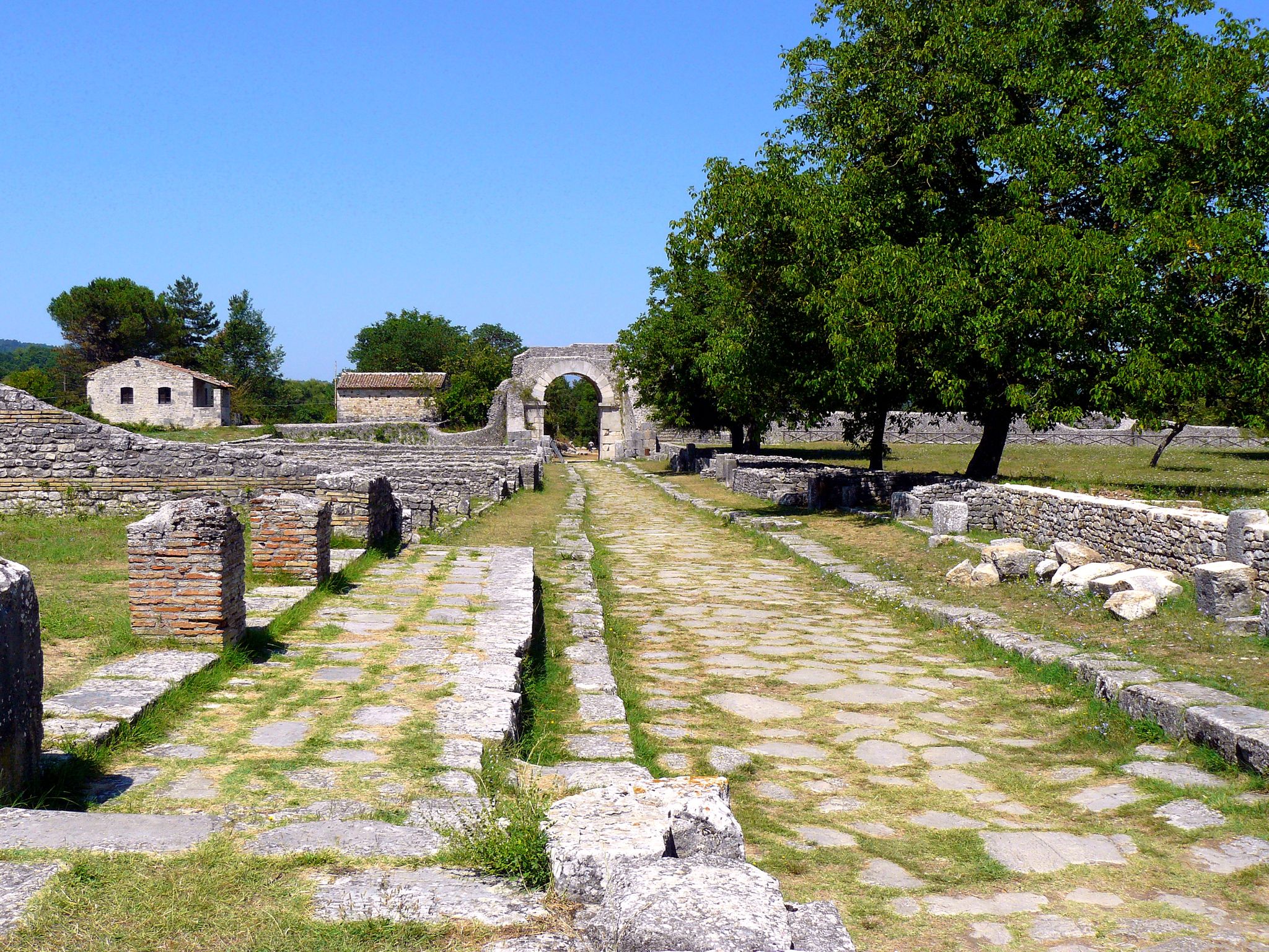

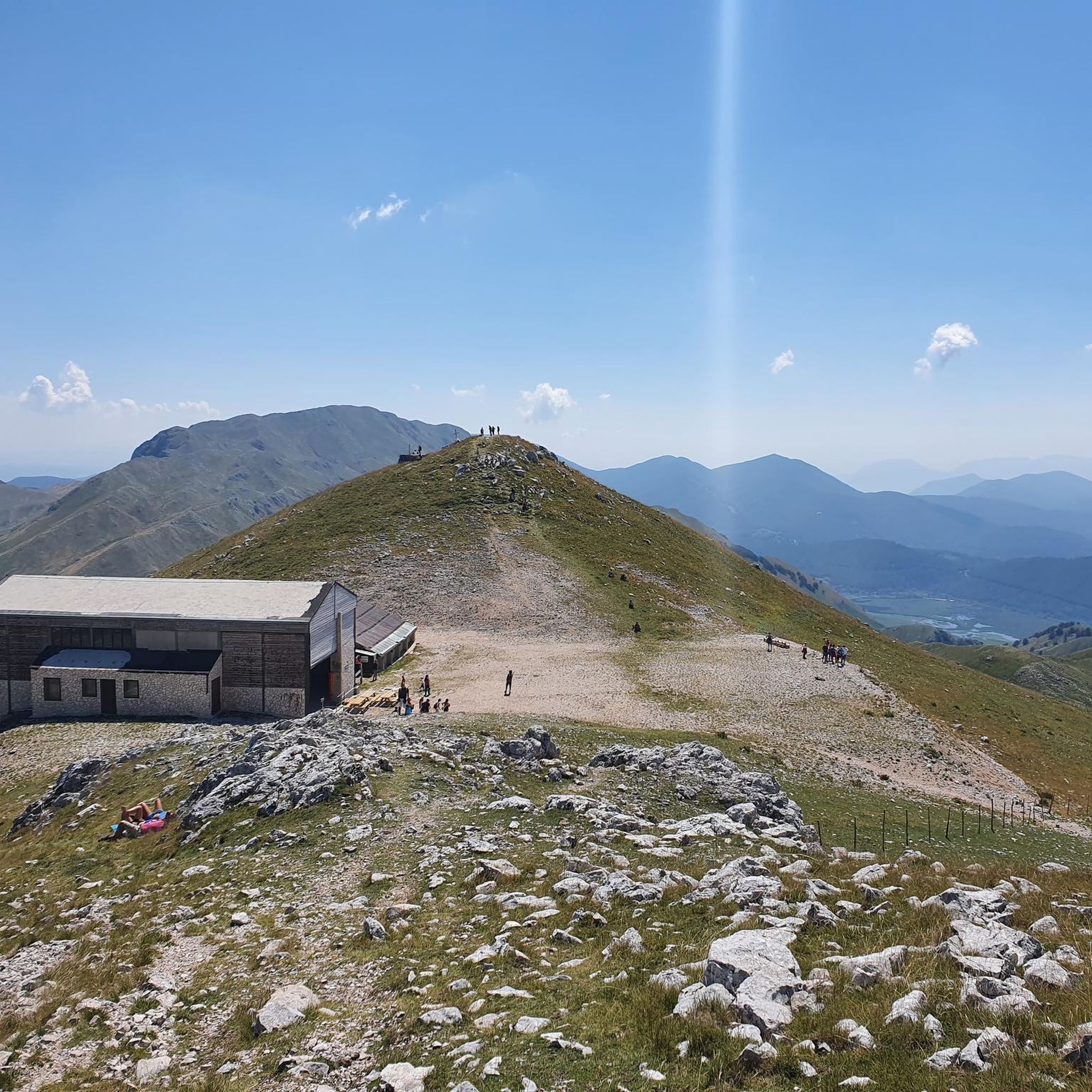
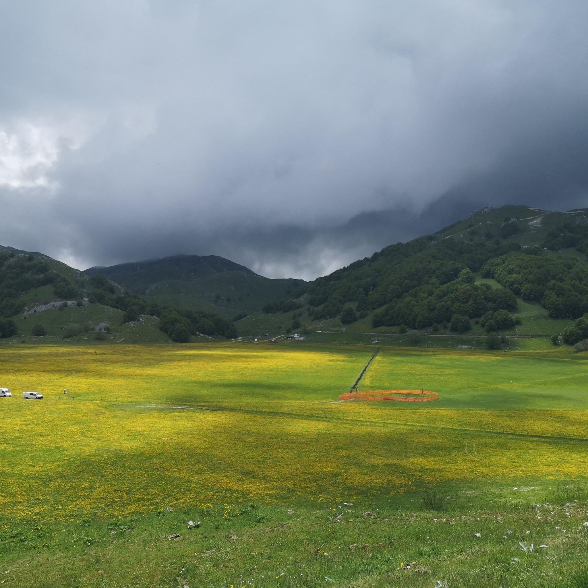
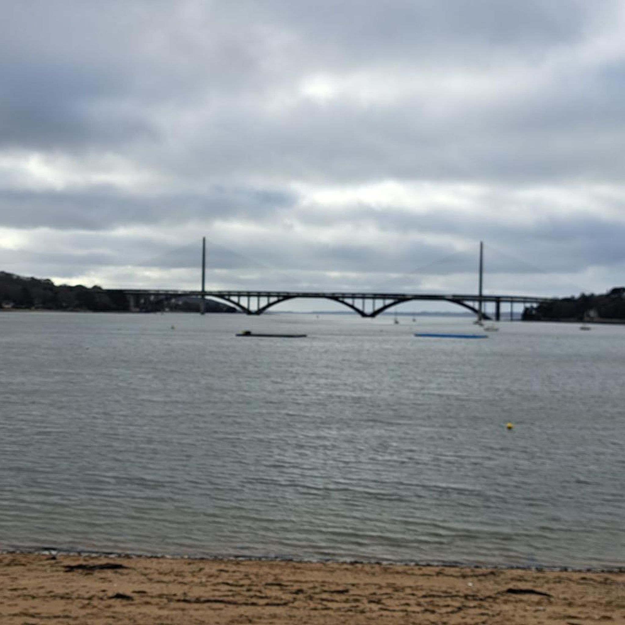
Other adventures around San Massimo

Tips from the Community

A fundamental hub for visiting many Molise towns passing through quiet streets, surrounded by greenery and technically pleasant
0
0
A town very popular with cyclists, an excellent place to stop and fill your water bottle. Important hub for reaching many Molise municipalities
0
0

Bojano is a municipality in the province of Campobasso in Molise. In its territory the sources of the Biferno river
0
0

One of the most famous tourist resorts in Molise. It is a fraction of San Massimo, at an altitude of 1450m. There are ski rentals, bars and restaurants. We are in the high matese, and we can admire the highest peaks in the area
0
0


Ancient and very small village which houses the rock church of San Michele. The village is in an elevated position and guarantees excellent views of the plain below.
1
0
Located at over 900 meters above sea level, it is the highest municipality in Molise.
1
0
Most important city of Molise and capital of the region. Built at the foot of the Monforte hill where the homonymous castle stands, symbol of the city.
1
0
Frequently Asked Questions
How many road cycling routes are available around San Massimo?
There are over 80 road cycling routes around San Massimo, offering a wide range of experiences for different skill levels. You'll find routes varying from easy to very challenging.
What kind of terrain can I expect on road cycling routes in San Massimo?
Road cycling in San Massimo is characterized by the Matese Mountains, offering demanding ascents and exhilarating descents. The region also features rolling hills, unspoiled rural landscapes, and picturesque lowland woods, including chestnut and conifer groves, providing diverse and scenic riding conditions.
Are there routes suitable for beginner road cyclists in San Massimo?
Yes, while many routes are challenging, there are 3 easy road cycling routes available around San Massimo. These are ideal for those new to road cycling or looking for a more relaxed ride through the scenic landscapes.
Where can I find challenging road cycling routes in San Massimo?
San Massimo is well-known for its challenging terrain. There are 42 difficult routes, many of which feature significant elevation gains in the Matese Mountains. For example, the View of Castello Monforte – Fontanavecchia Murals loop from Cantalupo-Macchiagodena is a difficult 109.6 km path with extensive climbs and panoramic views.
What are some notable viewpoints or landmarks I can see while cycling in San Massimo?
The region offers stunning panoramic views. From Monte Miletto's summit, you can often see both the Adriatic and Tyrrhenian Seas, and even Mount Vesuvius. Specific highlights include the Belvedere del Pianellone: View over Lake Matese, and the Campitello Matese Plateau. The nearby Roccamandolfi Castle and the Hermitage of Sant'Egidio also offer interesting destinations.
Are there any circular road cycling routes around San Massimo?
Yes, many of the road cycling routes in San Massimo are designed as loops. For instance, the Campitello Matese Plateau loop from San Massimo offers a challenging 27.2 km circular ride with significant elevation gain.
What do other road cyclists say about the routes in San Massimo?
The road cycling routes in San Massimo are highly rated by the komoot community, with an average score of 4.0 stars from over 20 reviews. Cyclists often praise the diverse terrain, from challenging mountain climbs to picturesque rides through rural landscapes, and the generally well-maintained roads with light traffic.
What is the best time of year for road cycling in San Massimo?
The warmer months, typically from late spring to early autumn, are ideal for road cycling in San Massimo. During this period, the mountain roads are accessible, and the weather is generally pleasant for tackling both the challenging ascents and enjoying the scenic descents.
Are there any routes that pass by lakes or natural monuments?
Absolutely. You can find routes that incorporate natural features like Lake Matese, which is about 8.8 km from San Massimo. The Campitello Matese Plateau is also a prominent natural monument that many routes traverse or offer views of.
Can I find routes that are less crowded in San Massimo?
The Molise region, where San Massimo is located, is known for its unspoiled rural landscapes and less traffic compared to more popular areas. Many routes, especially those winding through the rolling hills and lowland woods, offer a peaceful cycling experience away from crowds.
Are there any long-distance road cycling routes for experienced riders?
Yes, experienced riders will find several long and challenging routes. The Castelpetroso Panorama – View of Castello Monforte loop from Cantalupo-Macchiagodena is a difficult 101.1 km trail through the Matese Mountains, often completed in about 5 hours, offering a significant endurance test.
Most popular attractions around San Massimo

Get inspired with the komoot mobile app


Explore more
Browse the best Road cycling routes in other regions.
