The best walks and hikes around Campochiaro
4.3
(178)
848
hikers
103
hikes
Hiking around Campochiaro offers access to the diverse landscapes of the Matese Regional Park and the Riserva Regionale Guardiaregia-Campochiaro. The region is characterized by its mountainous terrain, featuring prominent peaks like Monte Mutria, La Gallinola, and Punta Giulia. Hikers can expect a mix of forested paths, open ridges, and varied elevations. The area provides a range of hiking experiences, from gentle loops to challenging ascents.
Best hiking trails around Campochiaro
- The most popular hiking route is Pianellone and Belvedere Loop…
Last updated: May 12, 2026
4.3
(6)
37
hikers
6.88km
01:56
140m
140m
Easy hike. Great for any fitness level. Easily-accessible paths. Suitable for all skill levels.
5.0
(6)
19
hikers
14.1km
05:38
670m
670m
Hard hike. Very good fitness required. Sure-footedness, sturdy shoes and alpine experience required.

Sign up for free
3.0
(1)
2
hikers
24.9km
08:41
1,080m
1,090m
Hard hike. Very good fitness required. Sure-footedness, sturdy shoes and alpine experience required.
4.0
(1)
2
hikers
7.91km
03:08
410m
410m
Hard hike. Good fitness required. Sure-footedness, sturdy shoes and alpine experience required.
4.3
(6)
39
hikers
6.70km
01:59
200m
200m
Easy hike. Great for any fitness level. Easily-accessible paths. Suitable for all skill levels.
Get access to more routes and recommendations from other explorers.
Sign up for free
Already have an account?
Our route recommendations are based on thousands of hikes, rides, and runs completed by other people on komoot.
Start today with a free account
Your next adventure awaits.
Login or Signup

Tips from the Community

Gallinola (1,923 m above sea level) is the second highest peak in the Matese range and is located in Molise. It can be reached from Campitello Matese via a 5.5 km hike and an elevation gain of just under 500 meters. The view from the summit is spectacular, stretching from the Maiella to the Tyrrhenian Sea, clearly visible in good weather.
1
0

Challenging route with a difference in altitude of about 600m, starting from the Ecocamous refuge located in the Santa Maria valley. During the route you will encounter woods, valleys and a beautiful view of Lake Matese. The route leads to the highest peak in Campania, La Gallinola (1923m)
0
0

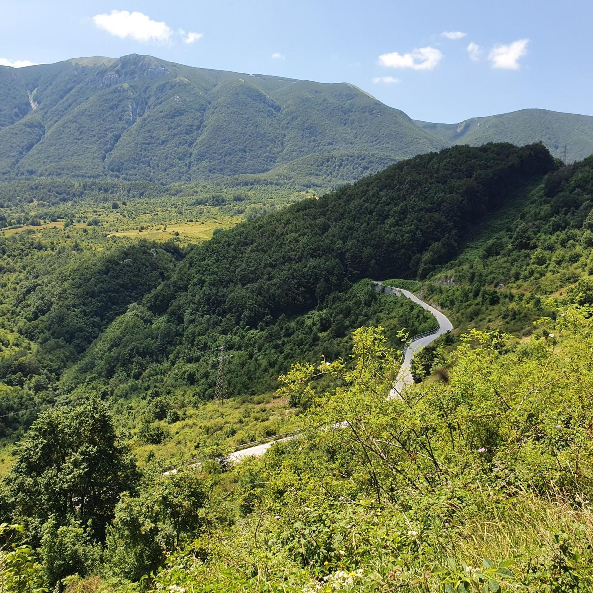
View overlooking the valley of Lake Matese
0
0
Getting there from the Santa Maria refuge was a slog but when you admire the view you understand that it's worth it
3
0

Beautiful view of Lake Matese. It is the highest lake of karst origin in Italy, being located at around 1000 meters above sea level.
0
0

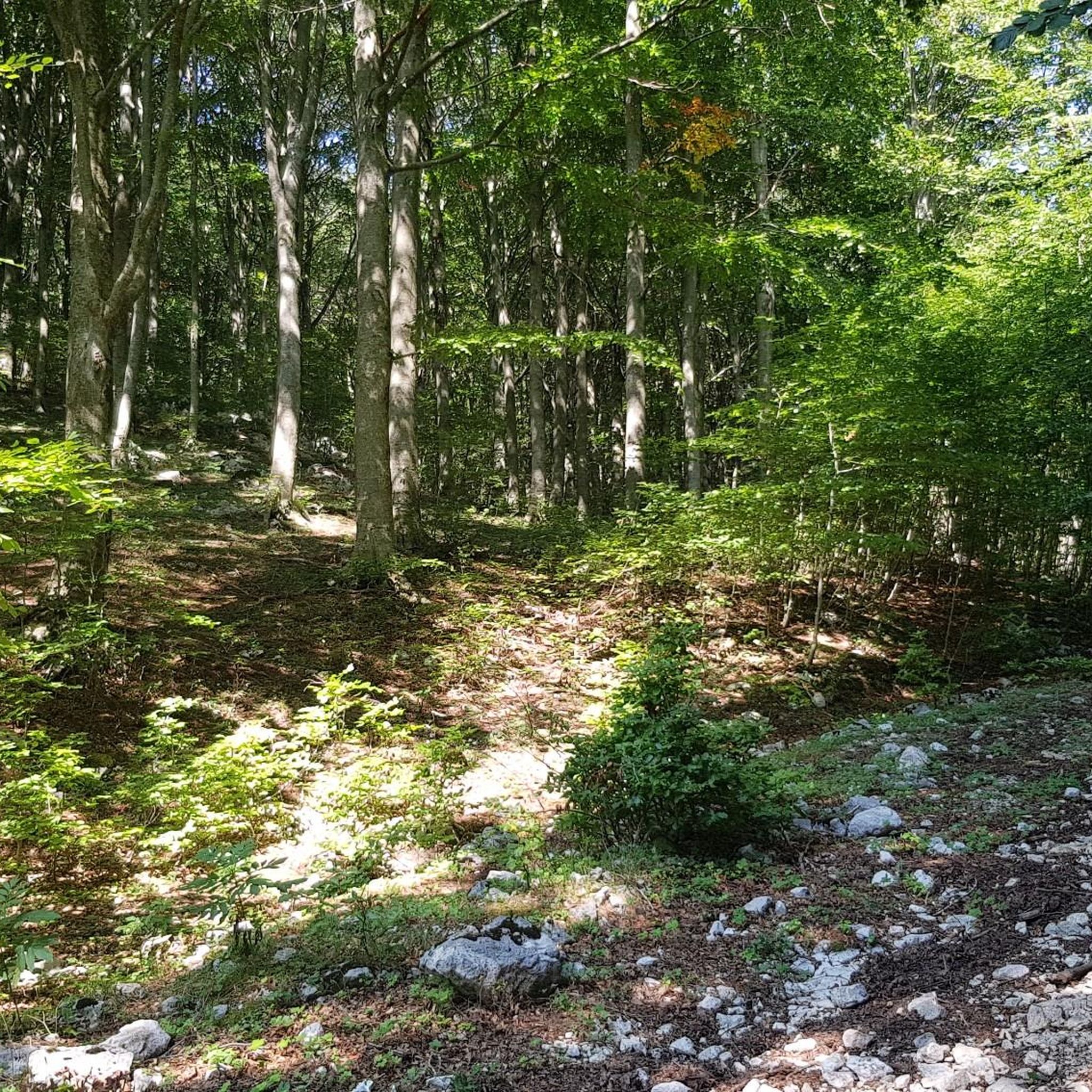
The Tre Frati are three centuries-old beech trees found on the northern slopes of Monte Mutria, within the Guardiaregia-Campochiaro WWF Oasis. The estimated age is around 500 years and they are surrounded by a dense forest. To reach the Tre Frati there are several hiking trails that start from Fonte Colle Macchio or from Pietraroja.
2
0
Monte Mutria is the highest peak of the Guardiaregia-Campochiaro Regional Reserve, with its 1823 meters of altitude. Near the top is the chapel of Sant'Antonio, built in the 1990s and a destination for summer pilgrimages. The panorama extends over the great mountains of the Apennines, and on the clearest days you can even see the sea.
2
0

Gallinola is part of the Matese massif, and with its 1923 meters it is the highest point in Campania. From here the breathtaking panorama is guaranteed.
4
0
Frequently Asked Questions
What kind of terrain can I expect on hikes around Campochiaro?
Hiking around Campochiaro offers a diverse landscape, primarily within the Matese Regional Park and the Riserva Regionale Guardiaregia-Campochiaro. You'll encounter mountainous terrain with prominent peaks like Monte Mutria, La Gallinola, and Punta Giulia. Expect a mix of forested paths, open ridges, and varied elevations, providing experiences from gentle loops to challenging ascents.
Are there easy hiking trails suitable for beginners in Campochiaro?
Yes, Campochiaro offers several easy hiking trails. For instance, the Pianellone and Belvedere Loop Trail is an easy 6.9 km route that takes less than two hours to complete, offering varied scenery on a circular path. Overall, there are 17 easy routes available in the area.
Can I find circular walks in Campochiaro?
Yes, many of the trails around Campochiaro are circular, allowing you to start and end at the same point. A popular option is the Pianellone and Belvedere Loop Trail, which is an easy and scenic circular route. Another great choice is The Three Brothers – Il Frate Maggiore loop from Guardiaregia, a moderate 7.25 km loop offering great views.
What are some longer or more challenging hikes in the Campochiaro area?
For those seeking a challenge, Campochiaro has 40 difficult routes. A notable option is the Monte Mutria – loop tour in the Riserva Regionale Guardiaregia-Campochiaro, a demanding 24.8 km trail with significant elevation gain. Another difficult route is Il Pianellone, la Gallinola e Punta Giulia – Parco Regionale del Matese, covering 14.1 km.
What interesting landmarks or attractions can I see near Campochiaro's hiking trails?
The region around Campochiaro is rich in natural and historical attractions. You can explore summits like Monte Miletto Summit and La Gallinola Summit. Historical sites include Roccamandolfi Castle and the Hermitage of Sant'Egidio. For scenic views, visit the Belvedere del Pianellone: View over Lake Matese, or the beautiful Lake Matese itself.
Are there any trails that offer views of lakes or water features?
Yes, the area features beautiful lakes and viewpoints. The Belvedere del Pianellone offers stunning views over Lake Matese. You can also find trails near Lake Matese and the Switchbacks Above the Arcichiaro Dam, providing picturesque water features along your hike.
What do other hikers enjoy most about hiking in Campochiaro?
The komoot community highly rates the hiking experience in Campochiaro, with an average score of 4.3 stars from over 170 reviews. Hikers often praise the varied terrain, from mountain peaks to protected regional parklands, and the mix of forest and open trails. The options for different ability levels, from easy walks to difficult ascents, are also frequently highlighted.
How many hiking trails are available in Campochiaro?
There are nearly 100 hiking trails available around Campochiaro, offering a wide range of options for all skill levels. This includes 17 easy routes, 39 moderate routes, and 40 difficult routes.
Is Campochiaro suitable for family-friendly hikes?
Yes, Campochiaro offers several easy routes that are suitable for families. These trails often feature varied scenery and manageable distances, such as the Pianellone and Belvedere Loop Trail, which is an easy 6.9 km circular path.
What is the best time of year for hiking in Campochiaro?
Given its mountainous terrain within the Matese Regional Park, spring and autumn generally offer the most pleasant conditions for hiking in Campochiaro, with milder temperatures and beautiful scenery. Summer can be warm, especially at lower elevations, while winter hikes are possible but may require appropriate gear for snow and ice, particularly on higher peaks like Monte Mutria.
Are there any trails that lead to prominent peaks?
Yes, many trails in Campochiaro lead to or offer views of prominent peaks. The region is characterized by mountains such as Monte Mutria, La Gallinola, and Punta Giulia. For example, the difficult La Gallinola and Punta Giulia – Parco Regionale del Matese trail directly leads through these areas.
Most popular attractions around Campochiaro

Get inspired with the komoot mobile app


Explore more
Browse the best Hikes in other regions.
