The best walks and hikes around Dragoni
4.5
(41)
189
hikers
24
hikes
Hiking trails around Dragoni offer opportunities to explore the rural landscapes of the Province of Caserta, Italy. The region features hilly terrain and local paths, providing accessible routes for various fitness levels. While not a widely recognized premier hiking destination, Dragoni provides local trails through its countryside.
Best hiking trails around Dragoni
- The most popular hiking route is Ascent to Monte Friento from Liberi, a 5.7 miles (9.2 km) trail that takes 2 hours 47 minutes to complete. This…
Last updated: October 25, 2026
4.3
(7)
29
hikers
19.3km
05:24
350m
290m
Hard hike. Very good fitness required. Easily walkable paths.
4.3
(4)
13
hikers
14.6km
03:50
70m
250m
Moderate hike. Good fitness required. Easily walkable paths.

6
hikers
9.18km
02:47
310m
310m
Moderate hike. Good fitness required. Easily walkable paths.
9.89km
03:13
390m
390m
Moderate hike. Good fitness required. Mostly walkable paths. Sure-footedness required.
4.4
(7)
25
hikers
29.4km
08:33
700m
690m
Hard hike. Very good fitness required. Easily walkable paths.
Get access to more routes and recommendations from other explorers.
Already have an account?
Our route recommendations are based on thousands of hikes, rides, and runs completed by other people on komoot.
Start today with a free account
Your next adventure awaits.

Tips from the Community

Lavatoio Pubblico, a public washhouse that tells the story of the everyday life of simple families. Above all, women shaped this place, which also represented a social space for them.
0
0


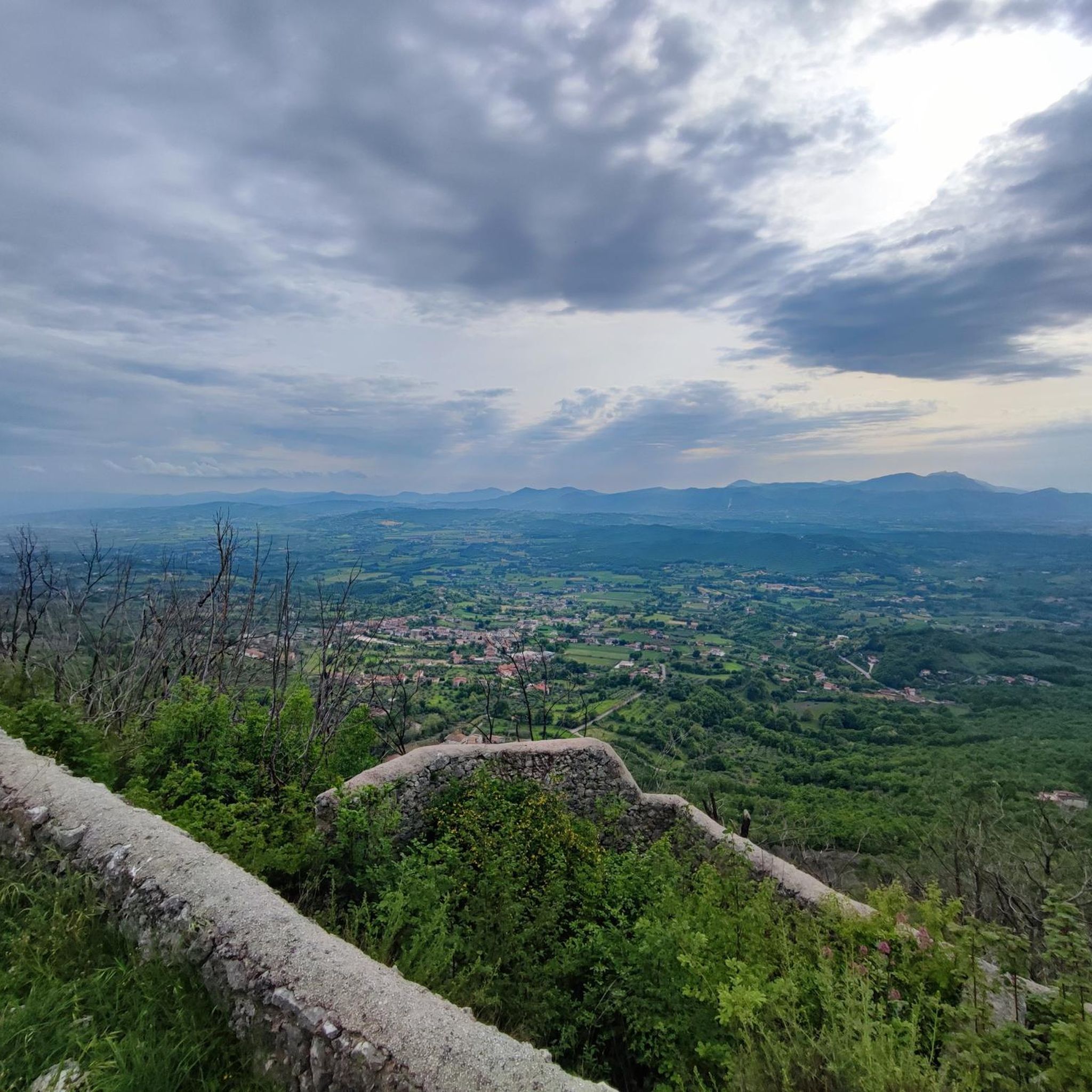
Mount Friento has breathtaking views of the Trebulani mountains and with its 770 meters it dominates the Volturno plain.
0
0

Mount Friento which with its 770 meters dominates the Volturno plain and offers excellent views of the Trebulani mountains.
1
0

Piedimonte Matese is the starting point for many excursions. The Campania section of the Sentiero Italia also passes through here. This city offers all the primary services needed on a long-distance journey.
1
0

The Church of San Sebastiano was built in 1600. It was consecrated by Bishop Porfirio in 1709.
1
0
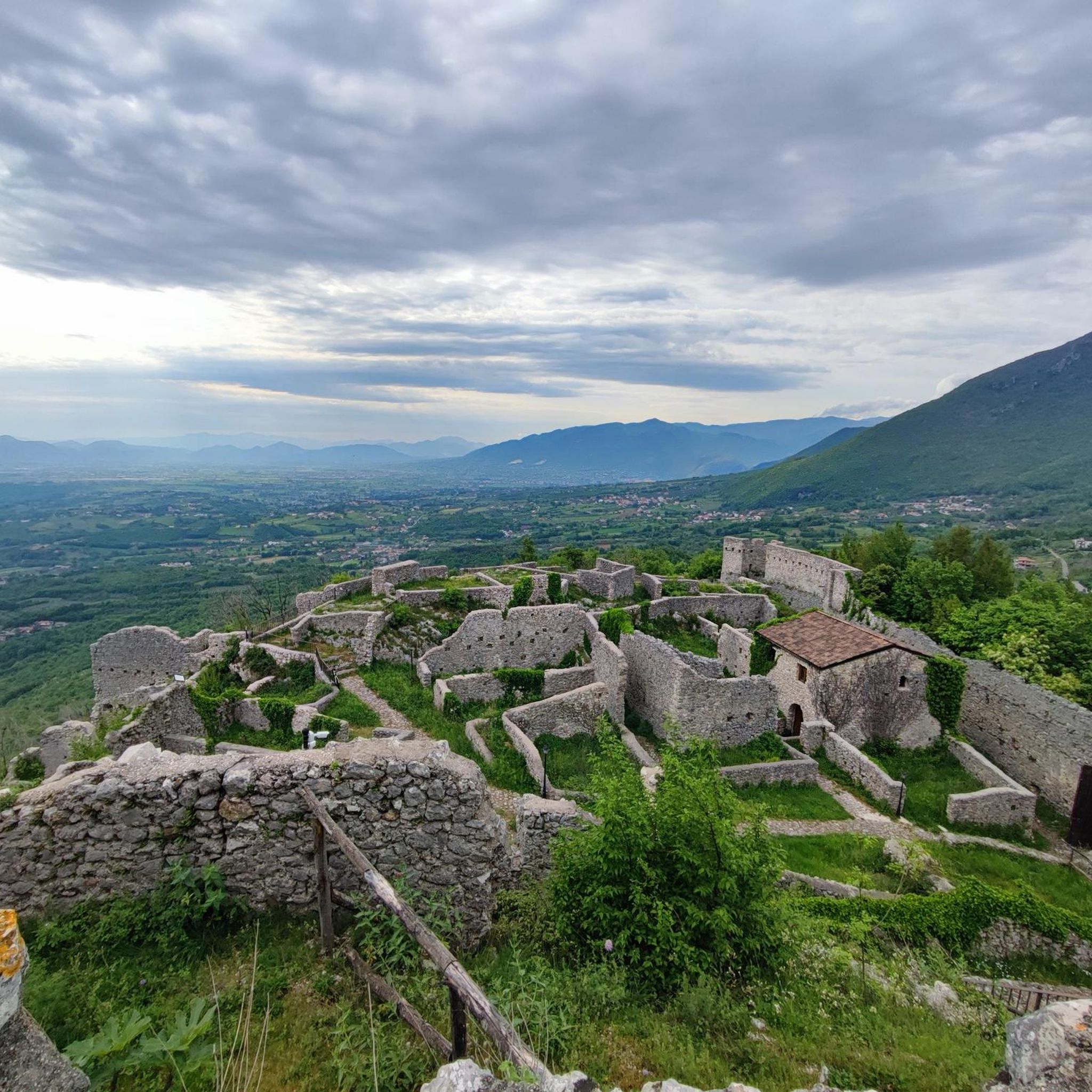
The ancient bell tower, which is located at 544 meters, is part of a convent-hermitage built in 1447.
1
0
Frequently Asked Questions
How many hiking trails are available around Dragoni?
There are over 10 hiking trails around Dragoni, offering a variety of experiences through the rural landscapes of the Province of Caserta. The komoot community has mapped 14 routes in total.
What kind of terrain can I expect on hikes in Dragoni?
Hiking around Dragoni is characterized by hilly terrain and local paths. You'll find routes that traverse rural landscapes, offering a mix of easy, moderate, and difficult sections. For example, the Ascent to Monte Friento from Liberi features accessible paths through hilly areas.
Are there any challenging hikes in the Dragoni area?
Yes, while many routes are moderate, there are a couple of more challenging options. For instance, the Castello di Alife loop from Parco is classified as a difficult hike, covering nearly 30 kilometers.
What are some interesting places to see near the hiking trails?
Around Dragoni, you can explore several points of interest. Consider visiting Piedimonte Matese, a nearby settlement, or the historical Porta Romana of Alife. The Visit of Piedimonte Matese – Parco Regionale del Matese trail leads through natural park scenery.
Are there any circular hiking routes in Dragoni?
Yes, there are circular routes available. A popular option is the Hiking loop from Rocchetta e Croce, which is a 3.5-kilometer trail through the local countryside.
What do other hikers say about the trails in Dragoni?
The routes in Dragoni are highly rated by the komoot community, with an average score of 4.3 stars from over 19 reviews. Hikers often appreciate the varied terrain and the opportunity to explore the local countryside.
Is Dragoni a good destination for family-friendly hikes?
While specific 'family-friendly' designations are not provided for all routes, many of the moderate trails through rural landscapes, such as the Hiking loop from Rocchetta e Croce, could be suitable for families depending on their fitness levels. It's always best to check the distance and elevation gain for each route.
Are dogs allowed on the hiking trails in Dragoni?
The guide data does not specify particular rules regarding dogs on trails in Dragoni. Generally, in rural Italian areas, dogs are often permitted on trails, especially if kept on a leash. However, it's advisable to check local signage or specific park regulations if hiking within a protected area like Parco Regionale del Matese.
What is the best time of year to go hiking in Dragoni?
While specific seasonal recommendations for Dragoni are not detailed, hiking in this region of Italy is generally pleasant in the spring (April-June) and autumn (September-October) when temperatures are milder and the landscapes are vibrant. Summers can be hot, and winters might bring cooler, wetter conditions.
Are there options for parking or public transport to reach the trailheads?
The guide data does not provide specific details on parking facilities or public transport access for individual trailheads in Dragoni. As it is a rural area, access is often by car, and parking may be available in nearby villages or designated spots. Public transport options might be limited, so planning your journey in advance is recommended.
Are there any easy hiking routes around Dragoni?
Yes, there are easy hiking options available. The guide indicates at least one easy route among the 14 available tours, making it accessible for those looking for a less strenuous walk through the countryside.
Most popular attractions around Dragoni

Get inspired with the komoot mobile app


Explore more
Browse the best Hikes in other regions.
