Top 7 Hikes and Walks around Francolise
4.0
(19)
48
hikers
11
hikes
Hiking around Francolise offers varied terrain, from the slopes of Monte Massiccio to the shores of Lago di Falciano. The region features a mix of historical paths and natural landscapes, including areas with notable elevation changes and flatter lake loops. These trails provide opportunities to explore the local environment and its physical features.
Best hiking trails around Francolise
- The most popular hiking route is Via Micaelica Transit Trail, a 7.4 miles (11.9 km) moderate trail that takes about 4…
Last updated: May 11, 2026
2.0
(1)
3
hikers
11.9km
04:01
490m
490m
Hike the moderate 7.4-mile Via Micaelica Transit Trail through diverse Italian landscapes, with 1623 feet of elevation gain.
3.0
(1)
2
hikers
15.8km
05:23
820m
820m
Hard hike. Very good fitness required. Easily-accessible paths. Suitable for all skill levels.

Sign up for free
5.52km
01:28
50m
60m
This easy 3.4-mile hiking loop around the volcanic Lago di Falciano offers views of Falciano del Massico and rich wetland biodiversity.
4.4
(5)
9
hikers
11.9km
03:24
270m
270m
Moderate hike. Good fitness required. Easily-accessible paths. Suitable for all skill levels.
4.0
(2)
5
hikers
4.74km
02:00
310m
310m
Moderate hike. Good fitness required. Mostly accessible paths. Sure-footedness required.
Get access to more routes and recommendations from other explorers.
Sign up for free
Already have an account?
Our route recommendations are based on thousands of hikes, rides, and runs completed by other people on komoot.
Start today with a free account
Your next adventure awaits.
Login or Signup


Tips from the Community

Well-preserved stretch of the Adrianea. The paving is quite regular but be careful on the downhill stretches and when travelling after days of rain because it floods (you can still pass on a single track at the edge of the road)
0
0

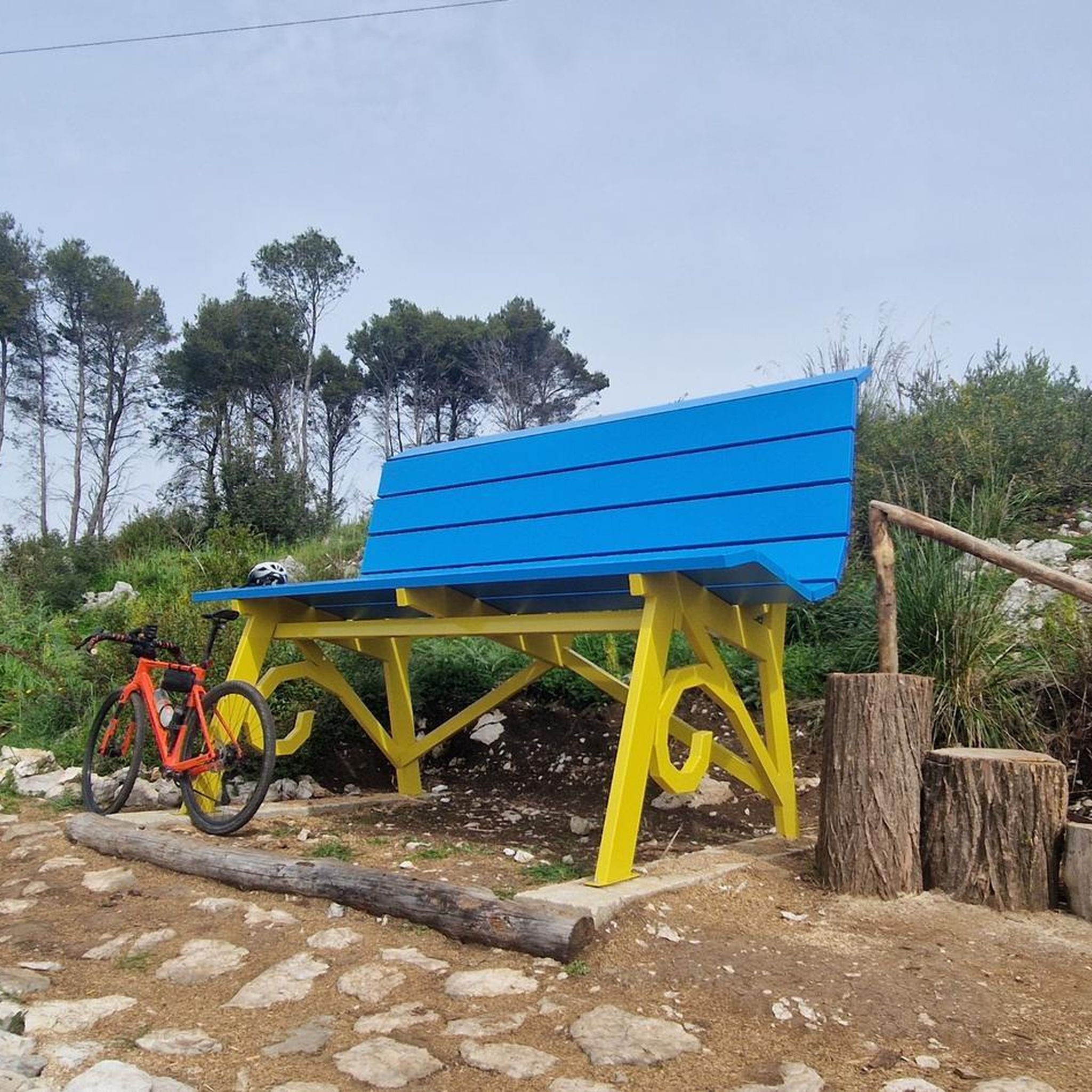
A nice place to take a little break during your MTB tour
0
0

a stretch of the ancient Hadrian's Road. This road, dating back to 120 AD, started from the port of Minturnae and connected very important cities of the Roman world: Suessa, Teanum Sidicinum, Alifae, Telesia and then connected with Malaventum
0
0

path all in the shade with a cave and two excellent viewpoints. Mandatory trekking shoes and recommended poles. 4 km long but requires good mastery. To be considered as EE....
1
0

Going up the road to Rocchetta, on the right at the indicated point is the entrance to the path that goes up towards Nocce - Fradejanne.
0
0

Monte Massiccio is part of the Campanian Sub-Apennine and with its 813 m above sea level it represents the highest relief in the area.
1
0

If I'm not mistaken it's in Campania, not in Calabria.
2
0

Beautiful road with cobbled sections, in case one wants to train for Paris-Roubaix.
2
0
Frequently Asked Questions
How many hiking trails are available in Francolise?
Francolise offers a selection of 13 hiking trails, catering to various preferences and skill levels. You'll find a mix of easy, moderate, and difficult routes to explore the region.
What kind of terrain can I expect on hikes around Francolise?
Hiking around Francolise features varied terrain, including the slopes of Monte Massiccio, historical paths, and the shores of Lago di Falciano. Expect a mix of notable elevation changes in some areas and flatter loops around the lake.
Are there easy hiking trails suitable for beginners in Francolise?
Yes, Francolise has 4 easy hiking trails perfect for beginners or those looking for a relaxed walk. A great option is the Lago di Falciano Loop Trail, which is 3.4 miles (5.5 km) long and leads through pleasant lakeside scenery.
Are there any challenging hikes for experienced hikers in Francolise?
For experienced hikers seeking a challenge, Francolise offers 2 difficult trails. The Ascent to Monte Massiccio from Falciano del Massico is a demanding 9.8 miles (15.8 km) path with significant elevation gain, rewarding you with panoramic views from the summit.
Are there any circular walks around Francolise?
Yes, you can find circular walks in the area. The Lago di Falciano Loop Trail is a popular circular route that allows you to enjoy the lake's beauty without retracing your steps.
What interesting landmarks or attractions can I see while hiking in Francolise?
While hiking in Francolise, you can encounter several interesting landmarks. Consider exploring the ancient Strada Adrianea (Ancient Roman Road) or visiting the historic Castello di Calvi Risorta. The region also features natural points of interest like Salita del Trapezio.
What do other hikers say about the trails in Francolise?
The hiking trails in Francolise are highly regarded by the komoot community, with an average score of 4.3 stars from over 20 reviews. Hikers often praise the varied terrain, from historical paths to scenic lake loops, and the opportunities for both easy strolls and challenging ascents.
Are there opportunities for wild swimming near Francolise hikes?
While specific designated wild swimming spots are not widely advertised, the presence of Lago di Falciano suggests potential opportunities for a refreshing dip, especially during warmer months. Always exercise caution and check local regulations before swimming in natural bodies of water.
What is the best time of year to go hiking in Francolise?
The best time to hike in Francolise is typically during the spring (April-June) and autumn (September-October) when the weather is mild and pleasant. Summers can be hot, especially for more strenuous climbs, while winters are generally cooler but still offer hiking opportunities, particularly on lower elevation trails.
Can I bring my dog on the hiking trails in Francolise?
Many trails in Italy, including those around Francolise, are generally dog-friendly, especially if your dog is well-behaved and kept on a leash. However, it's always advisable to check specific trail regulations or local signage, particularly in protected natural areas, to ensure dogs are permitted.
Are there family-friendly hiking options in Francolise?
Yes, Francolise offers several family-friendly hiking options, particularly among its easy trails. The Lago di Falciano Loop Trail is a good choice for families, offering a relatively flat and scenic path suitable for all ages.
Where can I find parking for hiking trails in Francolise?
Parking availability varies by trailhead. For trails near Lago di Falciano or within Falciano del Massico, you can often find public parking areas in or near the villages. For more remote trailheads, roadside parking might be an option, but it's best to check specific starting points on a map before you go.
What should I bring for hiking in Francolise, especially in different weather conditions?
For hiking in Francolise, always bring sufficient water, snacks, a map or GPS device, and appropriate footwear. In warmer months, pack sun protection (hat, sunscreen). For cooler or unpredictable weather, layers of clothing, a waterproof jacket, and a headlamp are recommended, especially if you plan longer hikes.
Most popular attractions around Francolise

Get inspired with the komoot mobile app


Explore more
Browse the best Hikes in other regions.
