The best walks and hikes around Putzleinsdorf
4.6
(4635)
21,614
hikers
53
hikes
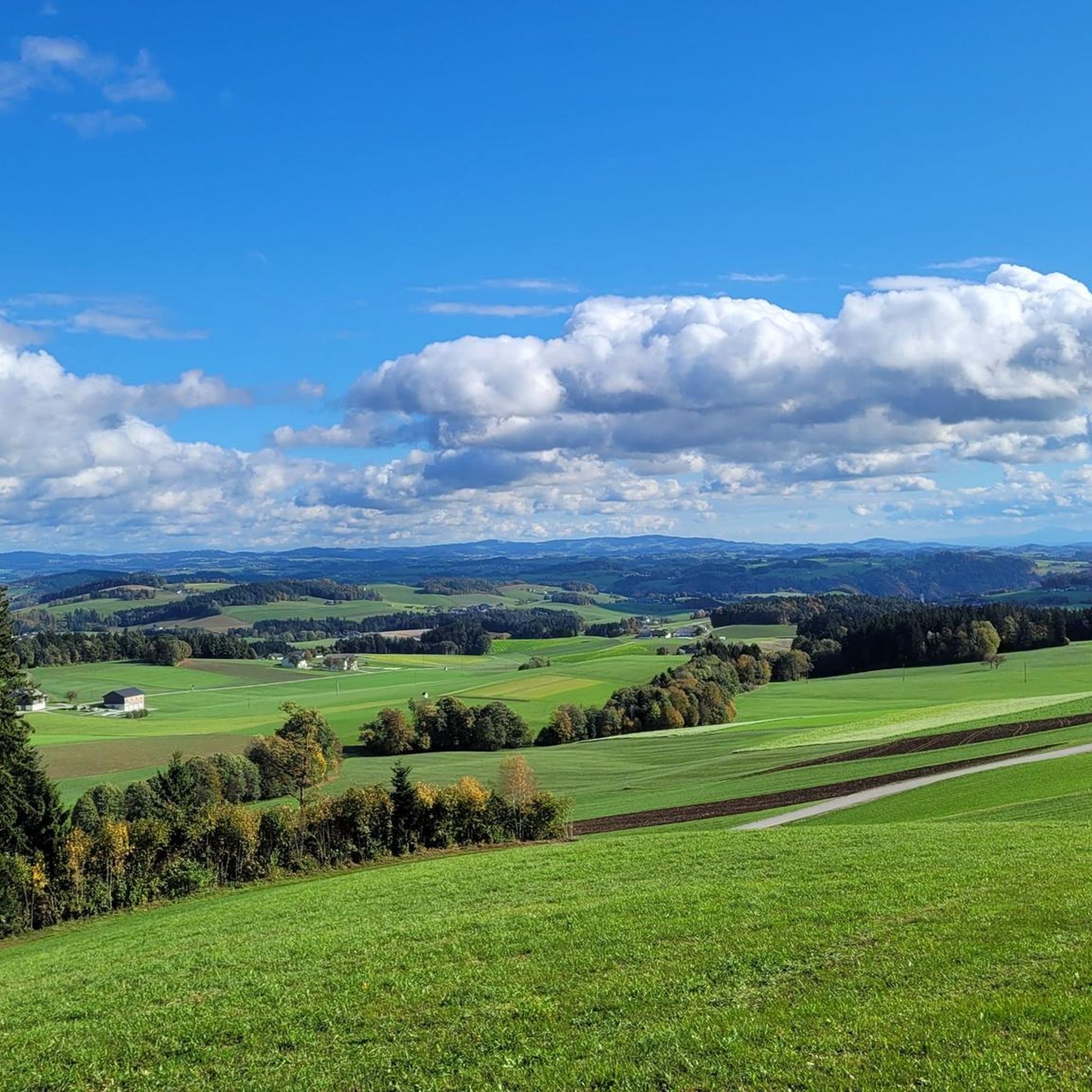
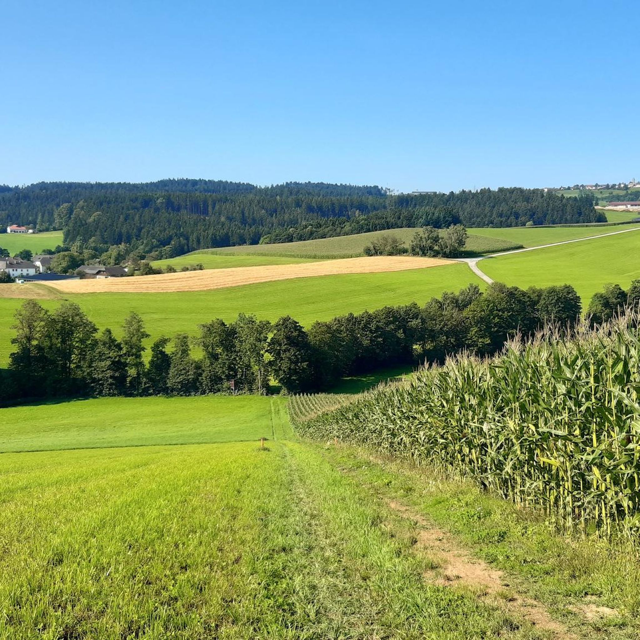
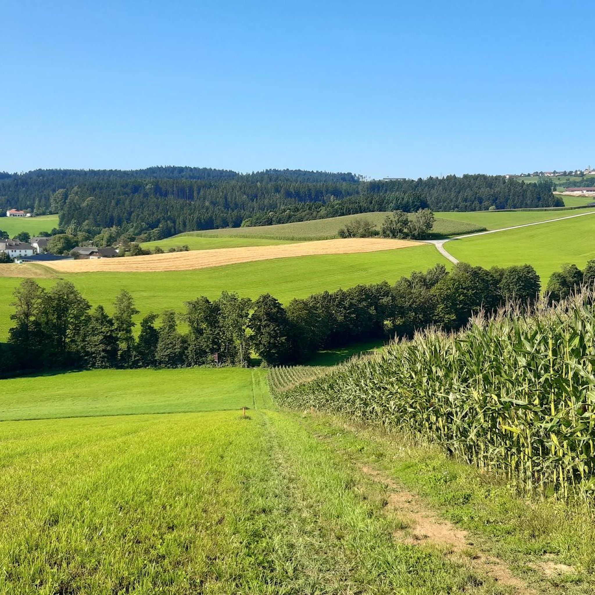
Hiking around Putzleinsdorf offers a diverse natural setting in Upper Austria, characterized by verdant countryside. The region features a variety of terrains, including meadow and forest paths, suitable for different fitness levels. Hikers can explore the typical Mühlviertel cultural landscape and idyllic valleys, such as the Kleine Mühl. This area provides a blend of natural beauty and historically significant surroundings.
Best hiking trails around Putzleinsdorf
- The most popular hiking route is Mayrhofer Wayside Shrine – Bauernkriegweg loop from Putzleinsdorf,…
Last updated: July 10, 2026
4.3
(3)
18
hikers
11.8km
03:17
230m
230m
Moderate hike. Good fitness required. Easily-accessible paths. Suitable for all skill levels.
3.0
(3)
18
hikers
10.6km
03:11
340m
340m
Moderate hike. Good fitness required. Easily-accessible paths. Suitable for all skill levels.

Sign up for free
3.7
(3)
22
hikers
6.56km
01:48
110m
110m
Easy hike. Great for any fitness level. Easily-accessible paths. Suitable for all skill levels.
2.0
(1)
11
hikers
19.6km
05:48
580m
580m
Hard hike. Very good fitness required. Easily-accessible paths. Suitable for all skill levels.
4.0
(2)
9
hikers
13.6km
03:58
360m
360m
Moderate hike. Good fitness required. Easily-accessible paths. Suitable for all skill levels.
Get access to more routes and recommendations from other explorers.
Sign up for free
Already have an account?
Our route recommendations are based on thousands of hikes, rides, and runs completed by other people on komoot.
Start today with a free account
Your next adventure awaits.
Login or Signup



Tips from the Community

Wooden crucifix in the parish forest with church in sight in Prarrkirchen in the Mühlkreis district.
0
1
Antiques and bric-a-brac shop belonging to a junk removal company,
0
0


The Lutzenkreuz is the highest elevation in the Mühlviertel municipality of Putzleinsdorf and is beautifully situated in the forest with a lovely rest area.
0
1

The great-grandfather of the current owner erected this cross for a happy return from the War of 1866
1
0
The beautiful Marterl was built in 1978 by the Dikany family as a thank you
1
0

Unfortunately mostly closed as it is privately owned.
4
0
Frequently Asked Questions
How many hiking trails are available around Putzleinsdorf?
Putzleinsdorf offers a diverse network of over 50 hiking trails. These routes cater to various preferences, ranging from easy walks to more challenging treks, ensuring there's something for every hiker.
What kind of terrain can I expect on hikes in Putzleinsdorf?
Hikers in Putzleinsdorf will encounter a varied landscape, primarily characterized by verdant countryside, meadow paths, and forest trails. The region also features idyllic valleys, such as the Kleine Mühl, and the typical Mühlviertel cultural landscape, offering a blend of natural beauty and historical surroundings.
Are there any easy hiking options suitable for beginners or families?
Yes, Putzleinsdorf has over 30 easy hiking routes. A great option for a relaxed outing is the Raiffeisen Rest Area – Bauernkriegweg loop from Putzleinsdorf, an easy 6.6 km trail that takes about 1 hour 48 minutes to complete, leading through the idyllic valley of the Kleine Mühl.
What are some notable landmarks or viewpoints I can discover while hiking?
The region boasts several interesting landmarks and viewpoints. You can hike to the Lutzenkreuz, which offers scenic views, or visit the Ameisberg Tower. Other natural highlights include the impressive Schlögen Loop of the Danube and the Jochenstein rock island.
Are there any circular hiking routes in Putzleinsdorf?
Many of the trails in Putzleinsdorf are designed as circular routes, allowing you to start and end at the same point. For example, the Mayrhofer Wayside Shrine – Bauernkriegweg loop from Putzleinsdorf is a popular moderate circular hike covering 11.8 km.
Can I bring my dog on the hiking trails in Putzleinsdorf?
Generally, dogs are welcome on hiking trails in Putzleinsdorf. However, it's always advisable to keep your dog on a leash, especially in areas with livestock or wildlife, and to respect local regulations. Please ensure you clean up after your pet.
Are there any challenging or difficult hikes for experienced trekkers?
Yes, for those seeking a more strenuous adventure, Putzleinsdorf offers a few difficult routes. A notable challenging option is the Maria Bründl Chapel – Ameisberg Tower loop from Putzleinsdorf, a demanding 19.6 km trail with significant elevation changes.
What do other hikers say about the trails in Putzleinsdorf?
The hiking trails in Putzleinsdorf are highly regarded by the komoot community, with an average rating of 4.0 stars from over 100 reviews. Hikers often praise the diverse terrain, well-maintained paths, and the blend of natural beauty with historical elements found along the routes.
Are there any historical trails in the region?
Yes, the region offers trails with historical significance. The Peasants' War Path (Bauernkriegweg), which runs through the idyllic valley of the Kleine Mühl, passes by a farmstead in Obernort that served as a headquarters for rebellious farmers in 1626, adding a cultural dimension to your hike.
What is the best time of year to go hiking in Putzleinsdorf?
Putzleinsdorf is enjoyable for hiking throughout much of the year. Spring and autumn offer pleasant temperatures and vibrant scenery, with blooming meadows or colorful foliage. Summer is also popular, though some trails might be warmer. Winter hiking is possible, but conditions can vary, so checking local weather is recommended.
Are there any family-friendly themed trails?
Near Putzleinsdorf, around Pfarrkirchen, you can find the Butterfly Hiking Trail. This easy-themed hike on forest and meadow paths features 20 stations with interesting information on an annually changing theme, making it ideal for families and school groups looking for an engaging outdoor experience.
Most popular routes around Putzleinsdorf
Most popular attractions around Putzleinsdorf

Get inspired with the komoot mobile app


Explore more
Browse the best Hikes in other regions.
