The best walks and hikes around Roetgen
4.5
(10330)
34,203
hikers
313
hikes
Hiking around Roetgen offers access to diverse natural landscapes at the gateway to the Eifel region and the Hohes Venn nature reserve. The area is characterized by expansive moor landscapes, dense forests, and clear streams originating from the elevated plains of the High Fens. Hikers can explore trails around the Dreilägerbachtalsperre reservoir and traverse unique wooden boardwalks in the Struffelt Heath and Moor Nature Reserve. This geographical position provides a varied terrain for outdoor activities.
Best hiking trails around Roetgen
…Last updated: October 5, 2026
4.7
(2122)
6,407
hikers
9.89km
02:46
180m
180m
Moderate hike. Good fitness required. Mostly accessible paths. Sure-footedness required.
4.7
(690)
2,224
hikers
15.7km
04:10
170m
170m
Moderate hike. Good fitness required. Mostly accessible paths. Sure-footedness required.

4.6
(354)
1,153
hikers
7.10km
01:59
140m
140m
Easy hike. Great for any fitness level. Easily-accessible paths. Suitable for all skill levels.
4.0
(4)
13
hikers
8.33km
02:14
90m
100m
Moderate hike. Good fitness required. Easily-accessible paths. Suitable for all skill levels.
6
hikers
19.2km
05:13
180m
400m
Hard hike. Very good fitness required. Mostly accessible paths. Sure-footedness required.
Get access to more routes and recommendations from other explorers.
Already have an account?
Our route recommendations are based on thousands of hikes, rides, and runs completed by other people on komoot.
Start today with a free account
Your next adventure awaits.
Popular around Roetgen
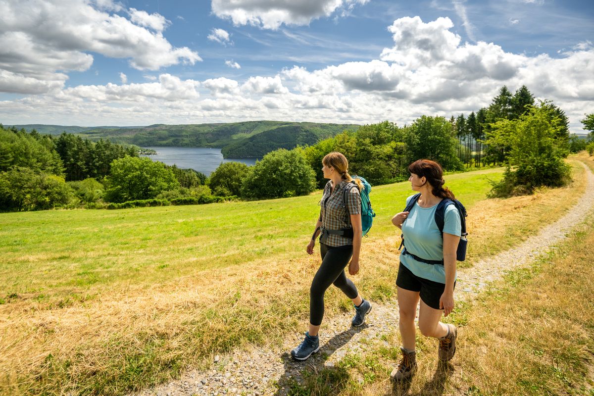
Shaped by rock and water – hikes in the Rureifel region
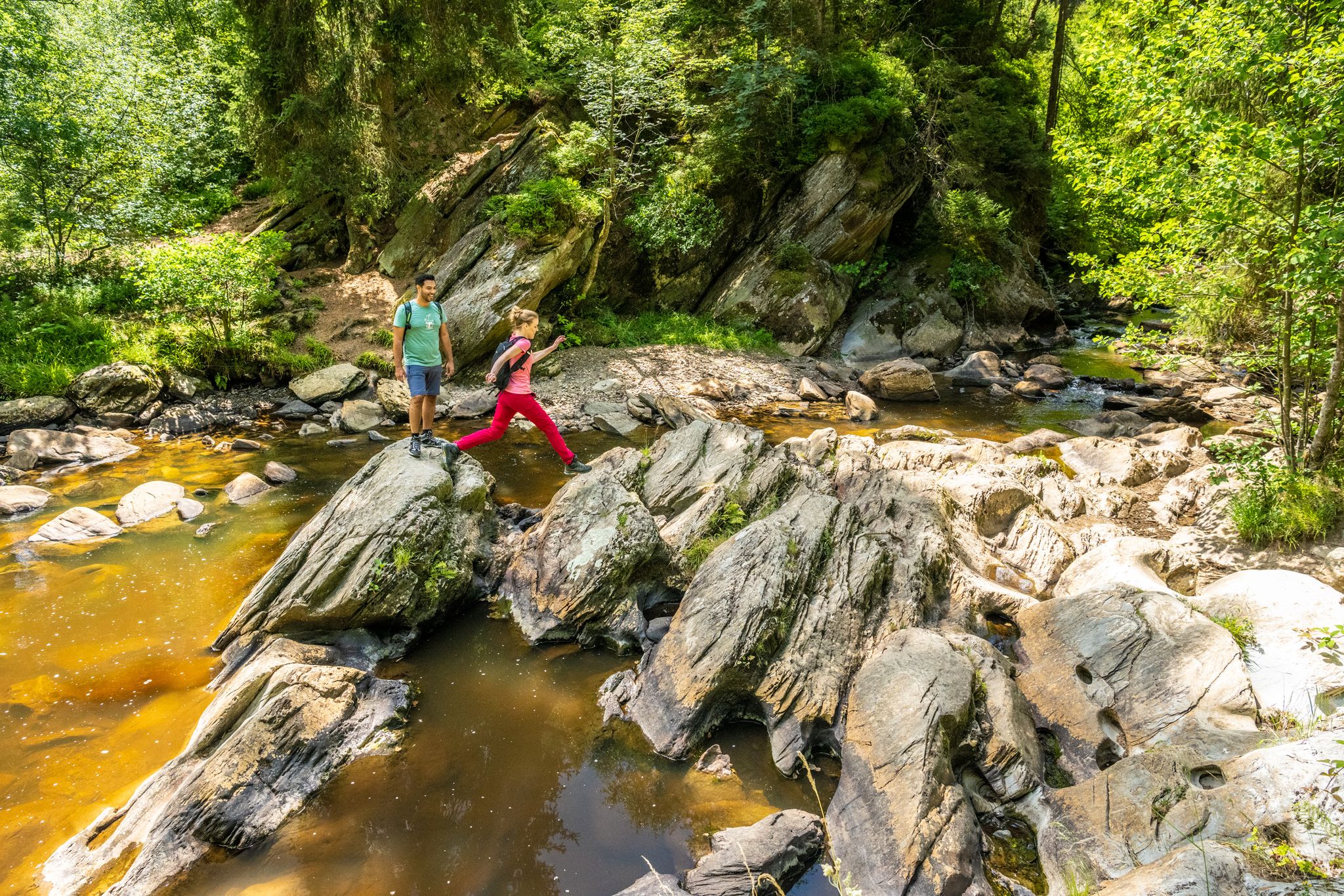
The Eifelsteig's 8 partner trails in Aachen region
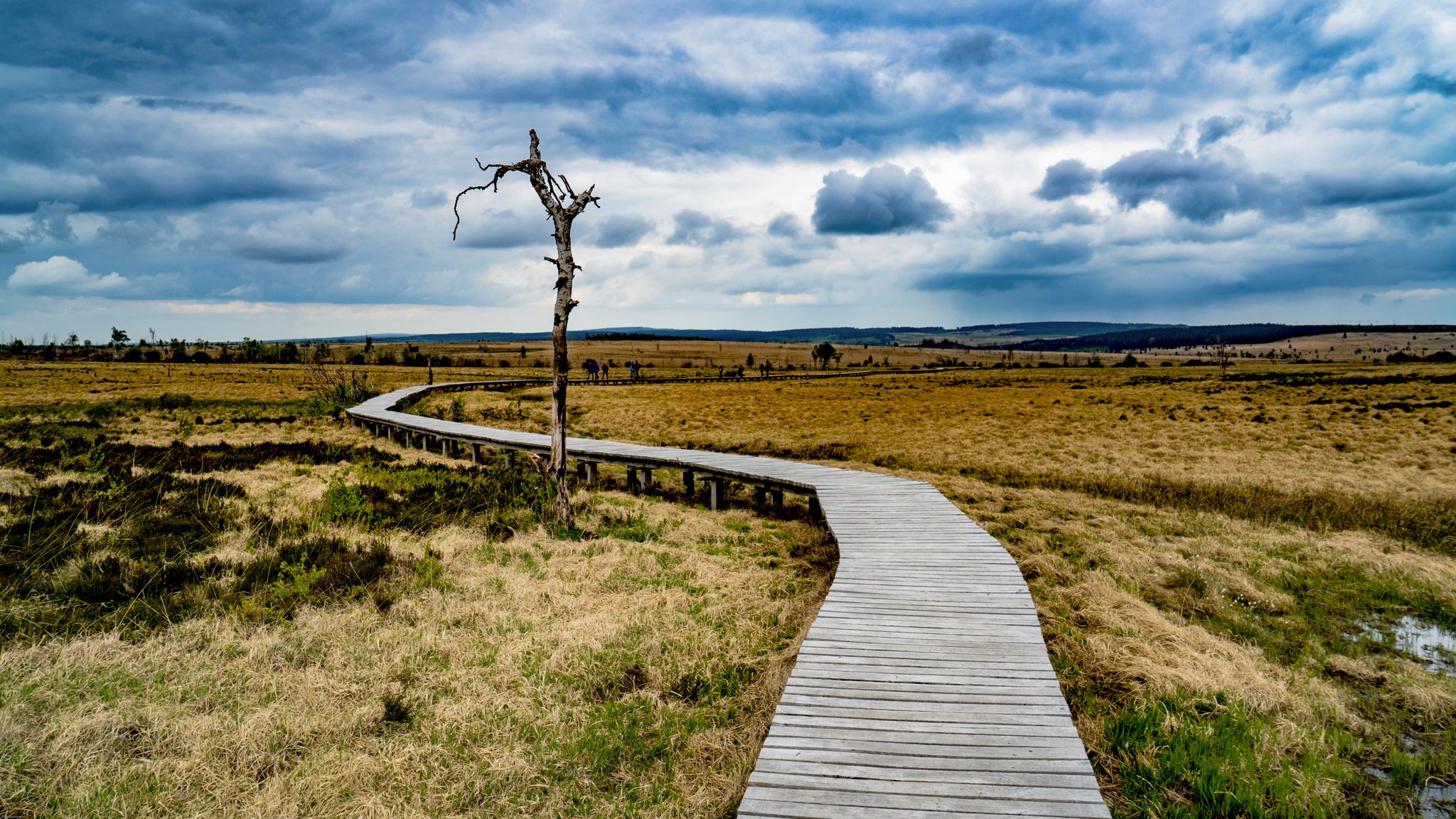
Leisure Tours on enchanted paths – hiking in East Belgium

Volcanoes, water, forest – the partner trails of the Eifelsteig
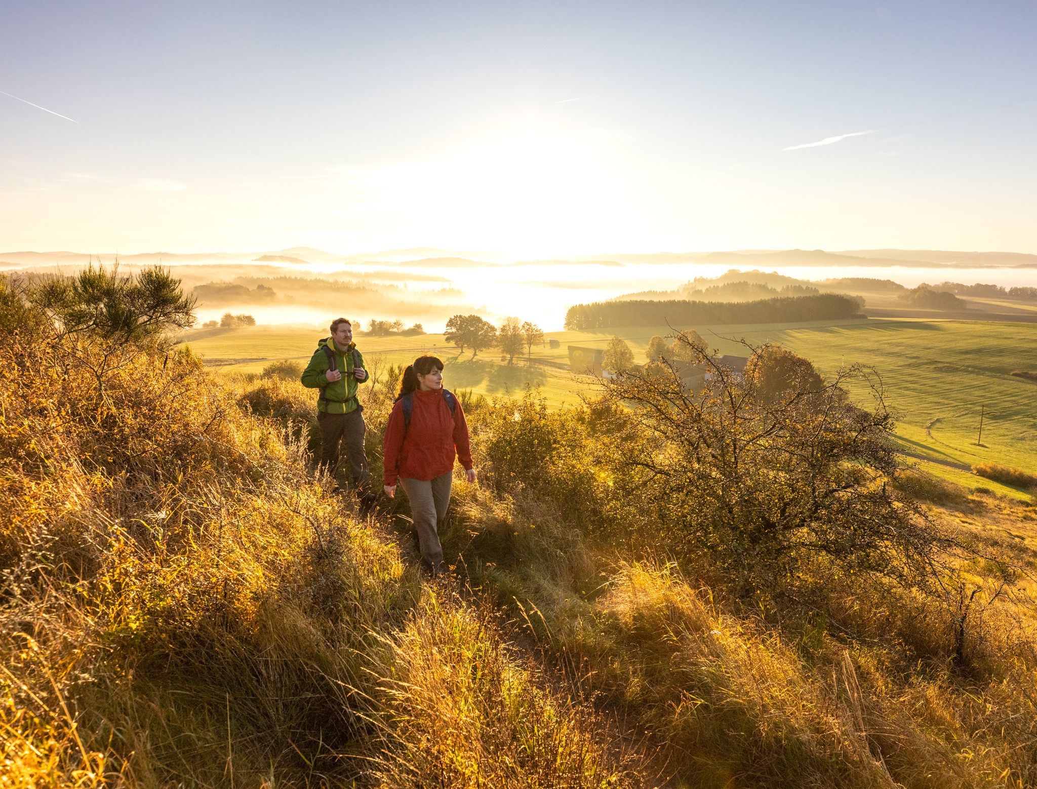
The 15 stages of the Eifelsteig Trail — Between rocks and water
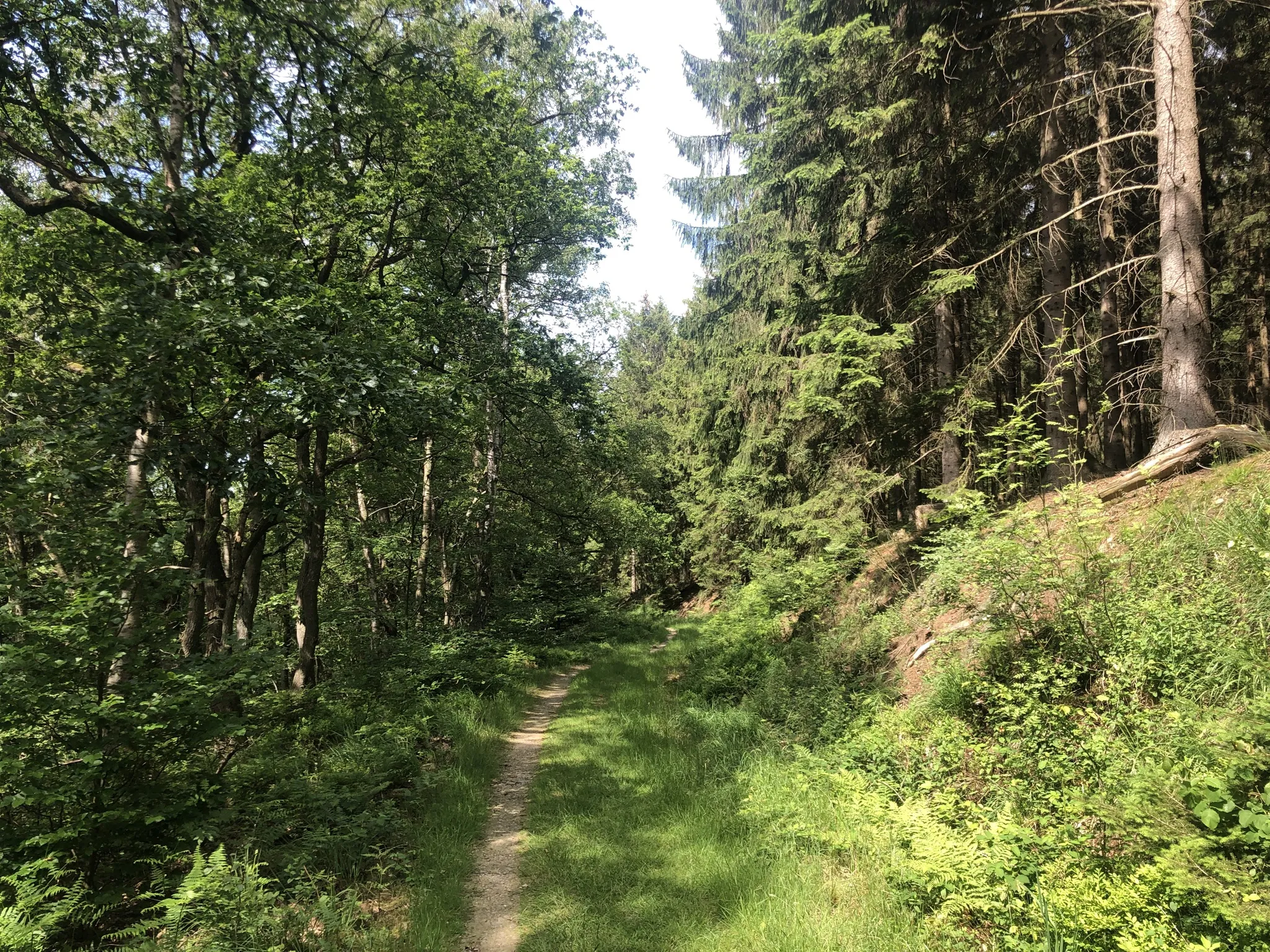
Trans-Eifel in 6 stages — Mountains rich and pure nature
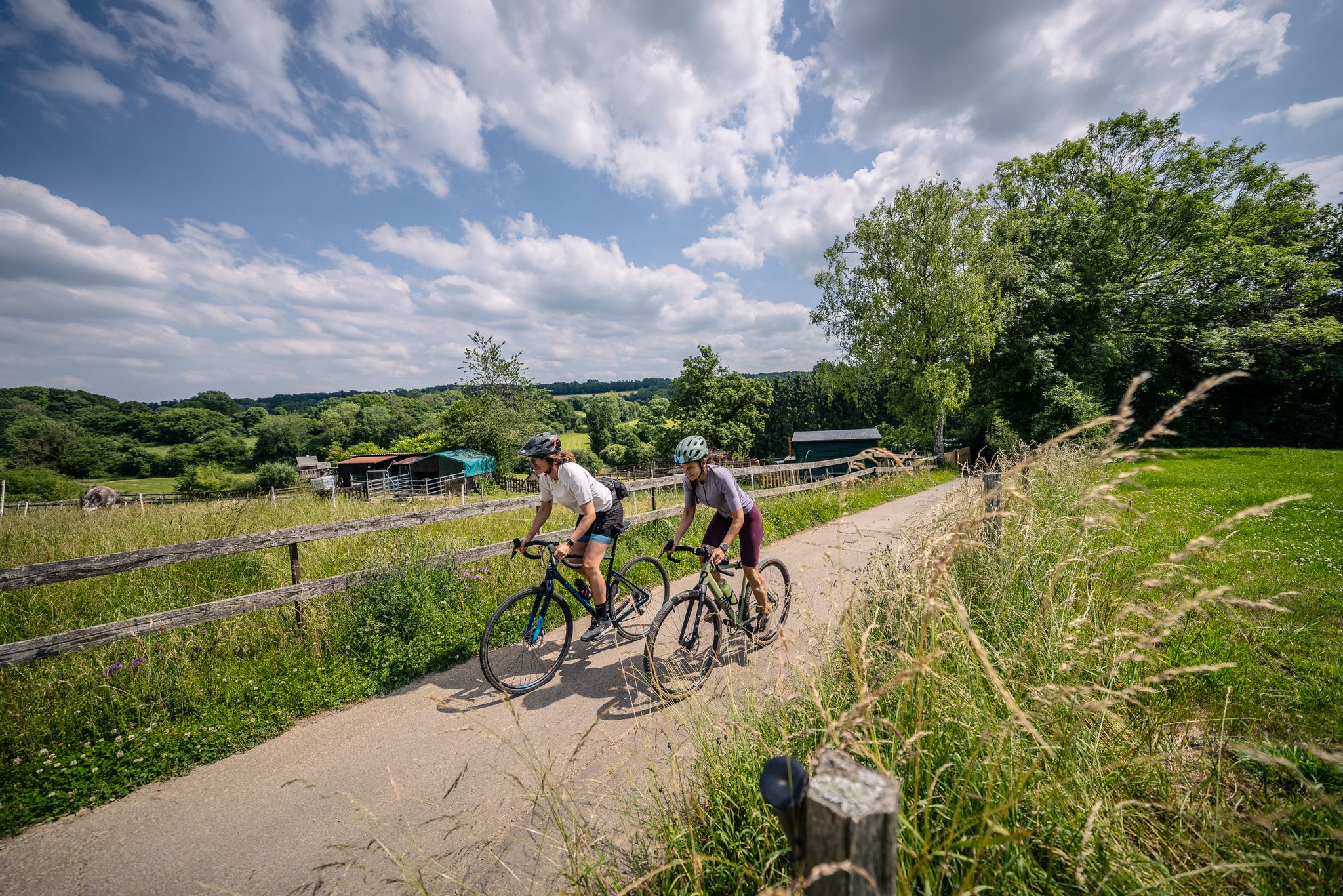
Gravel at its finest – rides around Aachen
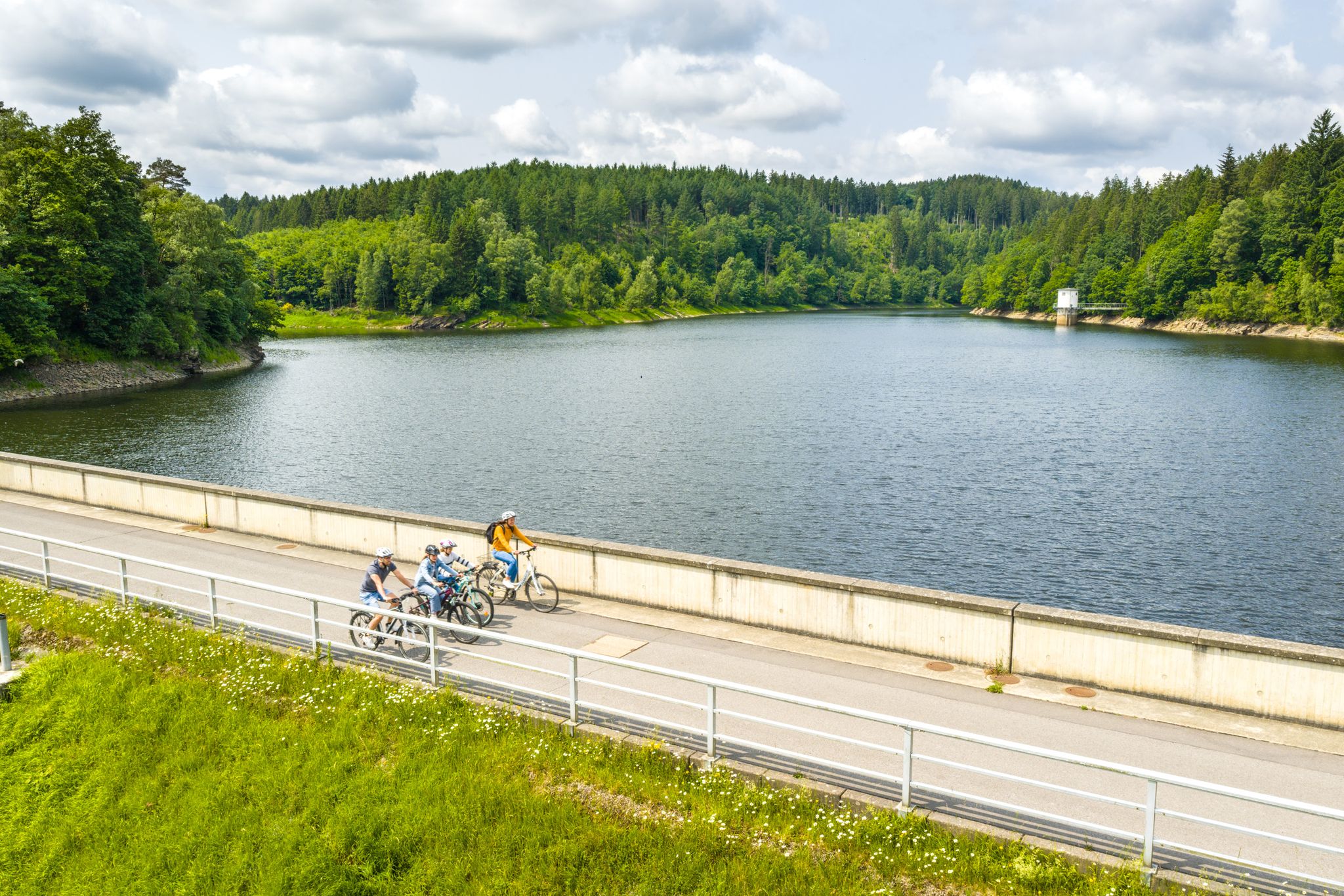
Aachen Time Loops – cycling from the past to the future
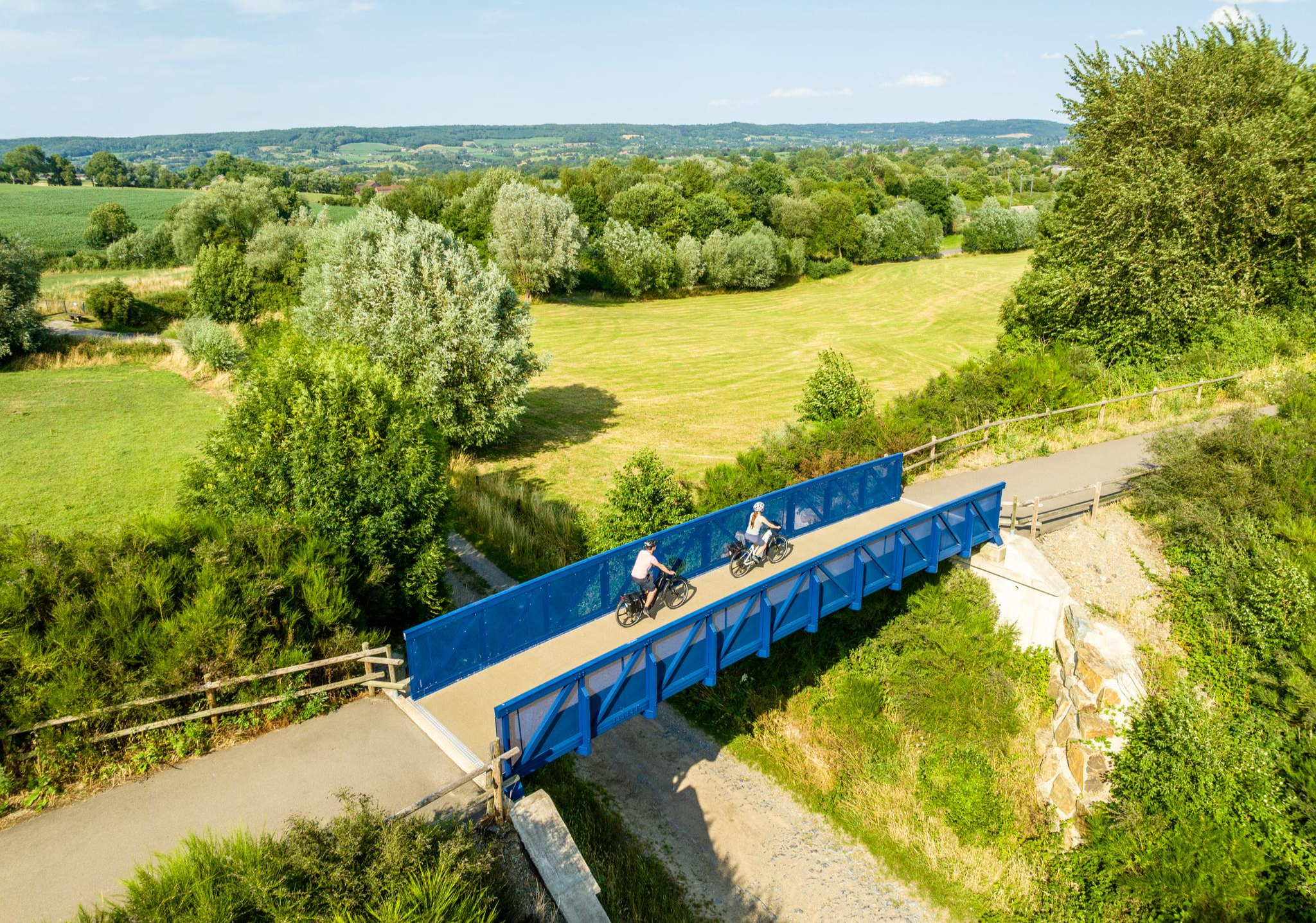
Three countries, one experience – borderless cycling in the Aachen region
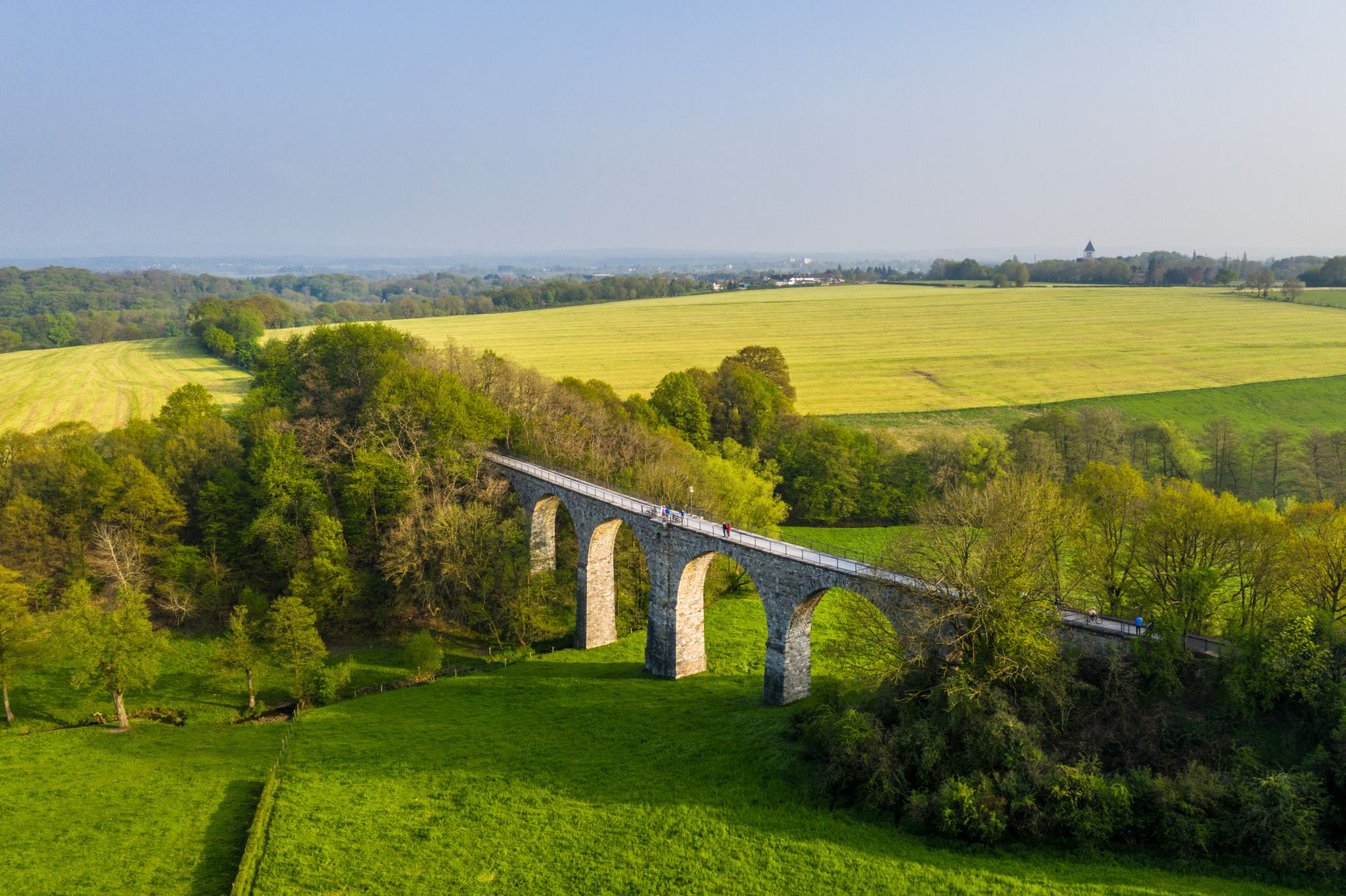
Cycling the tracks of the Vennbahn – the Vennbahnschleifen
Other adventures around Roetgen


Tips from the Community

In Roetgen there are many well-preserved and well-maintained half-timbered houses. Many of them are registered as listed buildings.
0
0

The Finkenbergkirche in Stolberg (Rhineland, Germany) is a magnificent testament to Protestant religious life and the economic history of this old town. The church stands on the slope of the Finkenberg, an offshoot of the Hammerberg, and has been a recognizable landmark in the cityscape since the early 18th century. The origins of the Finkenbergkirche date back to the 17th century when the Reformed community in Stolberg did not yet have its own place of worship and gathered in houses and copperworks, such as that of Leonhard Schleicher. In 1617, a small wooden church was built on the Finkenberg, which over time proved too small for the growing congregation. Around 1688, a stone tower was erected, on which the bell still rings today, and later the current stone nave was built, completed in 1725. The construction reflects the success of the local copper and brass industry, as many wealthy copper master families from the town supported the church financially, which is also evident in the impressive facades and the size of the church. Characteristic of the Finkenbergkirche is the interior, which remains true to the Reformation tradition of simplicity and functionality. The walls, pews, and the preacher's pulpit are light in color with contrasting dark wood accents. The pulpit, which is even older than the church building itself, stands on a sculpture of a pair of pelicans, a symbol of Christ's sacrifice. Historical elements such as the baptismal font and ewers from 1621 and the communion ewer from 1739 bear witness to the artistic and liturgical life of the early community. Next to the church building lies the Kupfermeisterfriedhof, also known as the copper masters' burial ground. Here, from 1686 onwards, the leading families of Stolberg were buried with gravestones richly adorned with family coats of arms, reflecting the industrial past. In later years, parts of these gravestones have been placed inside the church to better protect them from decay. The Finkenbergkirche is not only a place for regular church services but also a beloved location for baptisms, weddings, and concerts. As part of the Evangelical Church Community of Stolberg, it forms, together with other historical buildings, a crucial part of the cultural and religious heritage of this copper mining town.
0
0

Beautiful and peaceful. We encountered many ferns along the way.
0
0

The small squares and alleys of the old town are picturesque.
16
0
The castle and the surrounding small streets are really worth seeing and a must when visiting Stolberg.
18
0


The heath at Struffelt is beautiful at any time of the year
0
0

The Reinartzhof was later built from the St. Reinart hospice, which was formerly located on the Reinart. However, the evacuation of the Reinartzhof was announced by royal decree on June 26, 1958. Reason: As the Reinartzhof settlement is in the catchment area of the Weser dam and there is therefore a risk of water pollution, it is expropriated and must be evacuated. Within three years, i.e. by 1961, the residents were to leave their farms. With heavy hearts, the farming families moved out of the isolated hamlet one after the other. "Be that as it may, the mild pressure from above, supported by appropriate compensation payments, caused one farmer after another to emigrate and find a new home and work somewhere at the foot of the High Fens." In 1971, even the picturesque Oberhof was set on fire, and what had been spared by the fire was reduced to rubble by pickaxes and bulldozers. Source: https://reinartzhof.pfadfinder-raeren.be/geschichte.html
25
0
Frequently Asked Questions
How many hiking trails are available in Roetgen?
Roetgen offers a comprehensive network of over 290 hiking routes. These include a wide variety of options, with more than 160 easy trails, 120 moderate routes, and a few challenging treks, ensuring there's something for every fitness level.
What kind of terrain will I encounter on hikes in Roetgen?
The terrain around Roetgen is incredibly diverse, ranging from the unique moor landscapes of the Hohes Venn, often traversed by wooden boardwalks, to dense forests and tranquil paths alongside clear streams. You'll also find trails around the picturesque Dreilägerbachtalsperre reservoir, offering varied natural scenery.
Are there any circular hiking routes in Roetgen?
Yes, many of the trails in Roetgen are designed as circular routes, allowing you to start and end at the same point. A popular example is the Struffelt Boardwalk – Struffelt Pond loop from Roetgen, which takes you through the Struffeltven nature reserve.
What natural features or landmarks can I see along the hiking trails?
Hikers in Roetgen can explore a wealth of natural features. Highlights include the expansive moor landscapes of the Hohes Venn with its distinctive boardwalks, the dense forests, and clear streams. You can also visit the Dreilägerbach Dam, the serene Struffelt Pond, and the Brackvenn Moor Lakes. The region also provides access to the Eifel National Park.
Are there family-friendly hiking options in Roetgen?
Roetgen offers several routes suitable for families. Many of the easy and moderate trails are well-maintained and provide enjoyable experiences for all ages. The diverse landscapes, including boardwalks and forest paths, can make hiking an engaging adventure for children.
Can I bring my dog on the hiking trails in Roetgen?
Yes, Roetgen is generally dog-friendly, with many trails suitable for walks with your canine companion. It's always recommended to keep dogs on a leash, especially in nature reserves like the Hohes Venn or Struffelt Heath, to protect wildlife and ensure a pleasant experience for all hikers.
What do other hikers enjoy most about hiking in Roetgen?
The hiking trails around Roetgen are highly rated by the komoot community, with an average score of 4.6 stars from over 8,000 reviews. Hikers frequently praise the unique moor landscapes, the tranquility of the dense forests, and the well-maintained paths, particularly the wooden boardwalks in areas like the Struffelt Heath.
Are there any easy hiking trails suitable for beginners?
Absolutely. Roetgen has over 160 easy trails perfect for beginners or those looking for a relaxed stroll. An excellent option is the Schleebachgraben Trail – Bridge over the Dreilägerbach loop from Roetgen, which offers a gentle path through scenic surroundings.
What is the best time of year to go hiking in Roetgen?
Roetgen is beautiful year-round, but spring and autumn are particularly popular. In spring, the forests come alive with fresh greenery, while autumn offers stunning foliage colors. Summer is ideal for longer hikes, and even in winter, the unique moor landscapes can be explored, especially on the boardwalks.
Are there cross-border hiking opportunities from Roetgen?
Given Roetgen's proximity to the German-Belgian border, you can indeed embark on hikes that cross between the two countries. Some routes, like the 'Roetgen Forest and Heather Hike,' primarily lie in Belgium, offering a unique international hiking experience.
Where can I find parking for hiking trails in Roetgen?
Many trailheads around Roetgen offer designated parking areas. Specific parking information is often available on individual route descriptions on komoot. It's advisable to check the route details before you go to plan your parking.
Are there places to eat or stay near the hiking trails?
Roetgen and its surrounding villages offer various options for refreshments and accommodation. You'll find cafes, pubs, and guesthouses where you can relax and refuel after your hike. For more detailed information on local amenities, you might consult the Rureifel Tourism website.
Most popular routes around Roetgen
Most popular attractions around Roetgen

Get inspired with the komoot mobile app


Explore more
Browse the best Hikes in other regions.
