The best walks and hikes around Massa Di Somma
4.3
(1139)
14,865
hikers
110
hikes
Hiking around Massa Di Somma offers routes through a unique volcanic landscape dominated by Mount Vesuvius. The region features trails that traverse ancient lava flows and lead to the crater rim, providing views of the surrounding national park. Hikers can explore diverse terrain, from gentle paths to more challenging ascents, with options for various Massa Di Somma hiking difficulty levels.
Best hiking trails around Massa Di Somma
- The most popular hiking route is The great cone of Vesuvio – loop…
Last updated: August 18, 2026
4.6
(34)
226
hikers
7.24km
02:23
310m
310m
Hike the Gran Cono path for a moderate adventure up Mount Vesuvius, covering 4.5 miles (7.2 km) with an elevation gain of 1020 feet (311 metres). This loop tour typically…
4.3
(4)
18
hikers
16.0km
05:02
610m
600m
Hike a difficult 10.0-mile loop from Colle Umberto to the Vesuvius crater, offering panoramic views and volcanic landscapes.

Sign up for free
4.6
(335)
7,379
hikers
Easy hike. Great for any fitness level. Easily-accessible paths. Suitable for all skill levels.
3.4
(5)
10
hikers
10.8km
04:31
650m
650m
Hard hike. Good fitness required. Sure-footedness, sturdy shoes and alpine experience required.
4.2
(6)
16
hikers
4.38km
01:44
290m
290m
Hike the difficult 2.7-mile loop "Between the trails 'Fiume di lava' and 'delle Capre'" in Vesuvius National Park, gaining 967 feet.
Get access to more routes and recommendations from other explorers.
Sign up for free
Already have an account?
Our route recommendations are based on thousands of hikes, rides, and runs completed by other people on komoot.
Start today with a free account
Your next adventure awaits.
Login or Signup
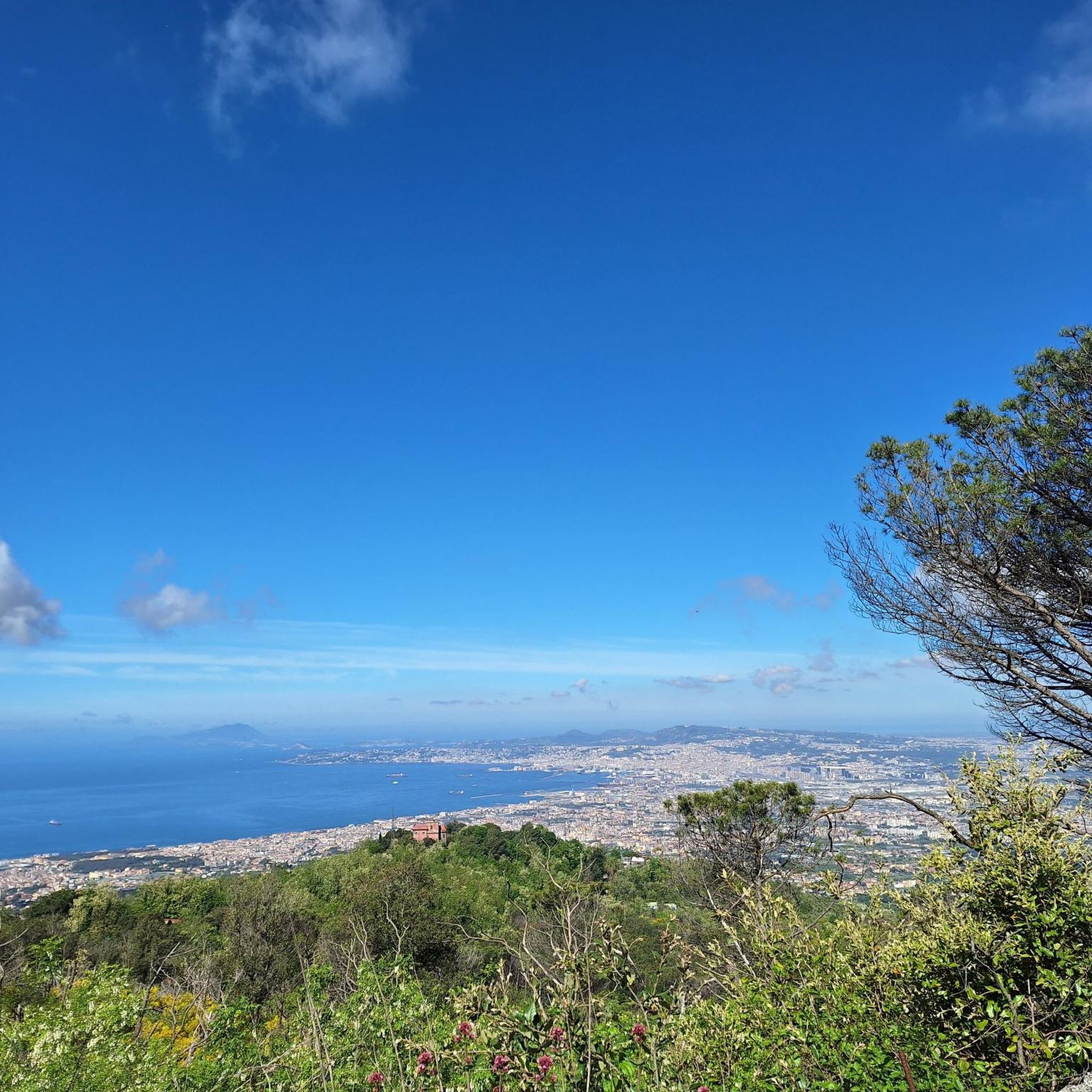
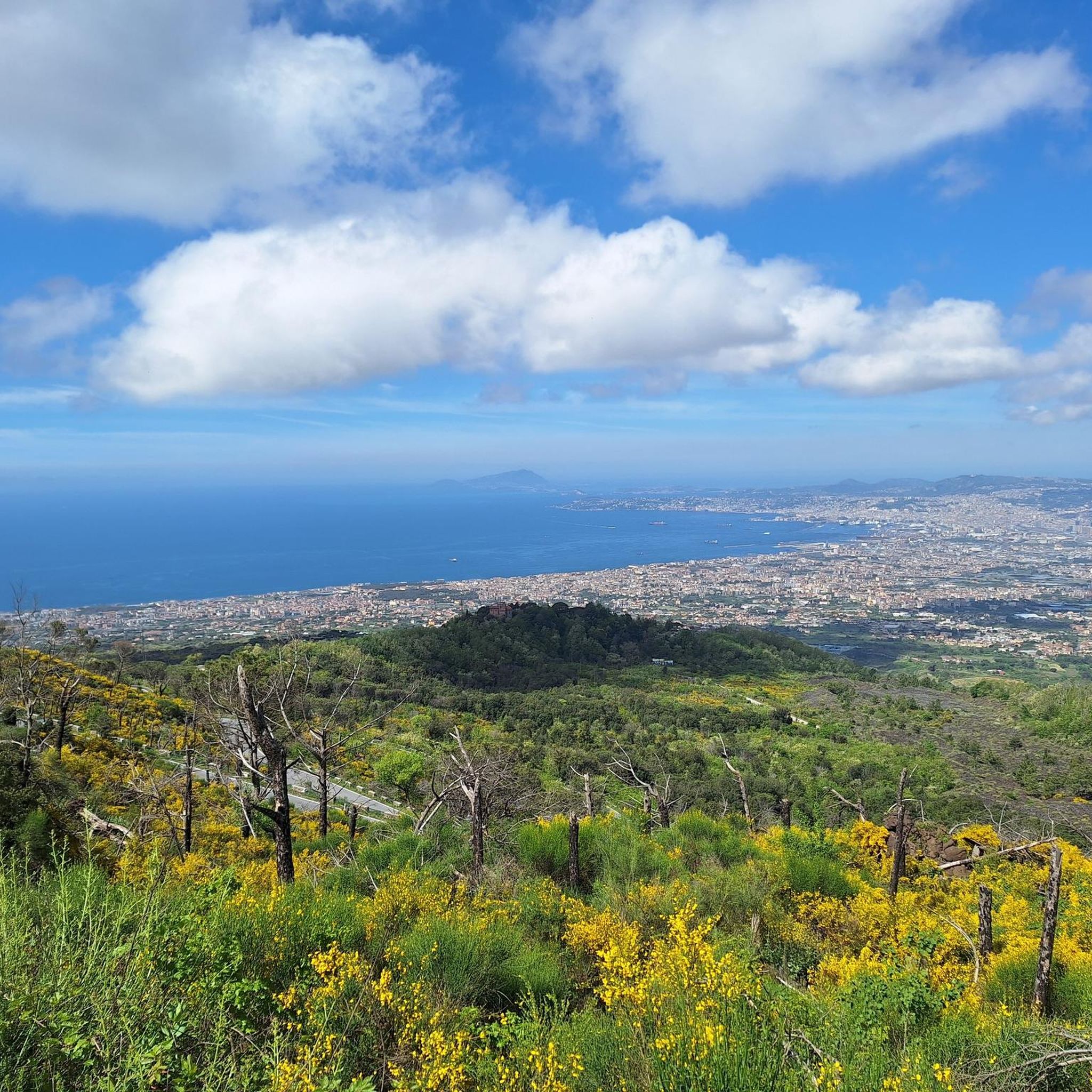
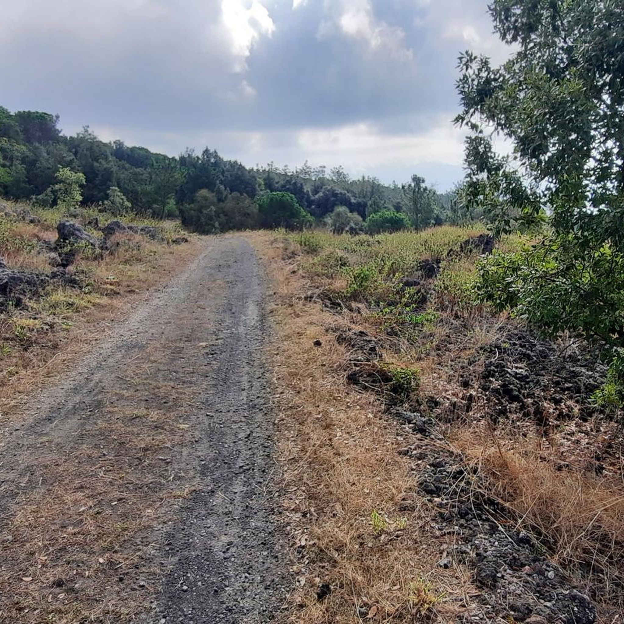
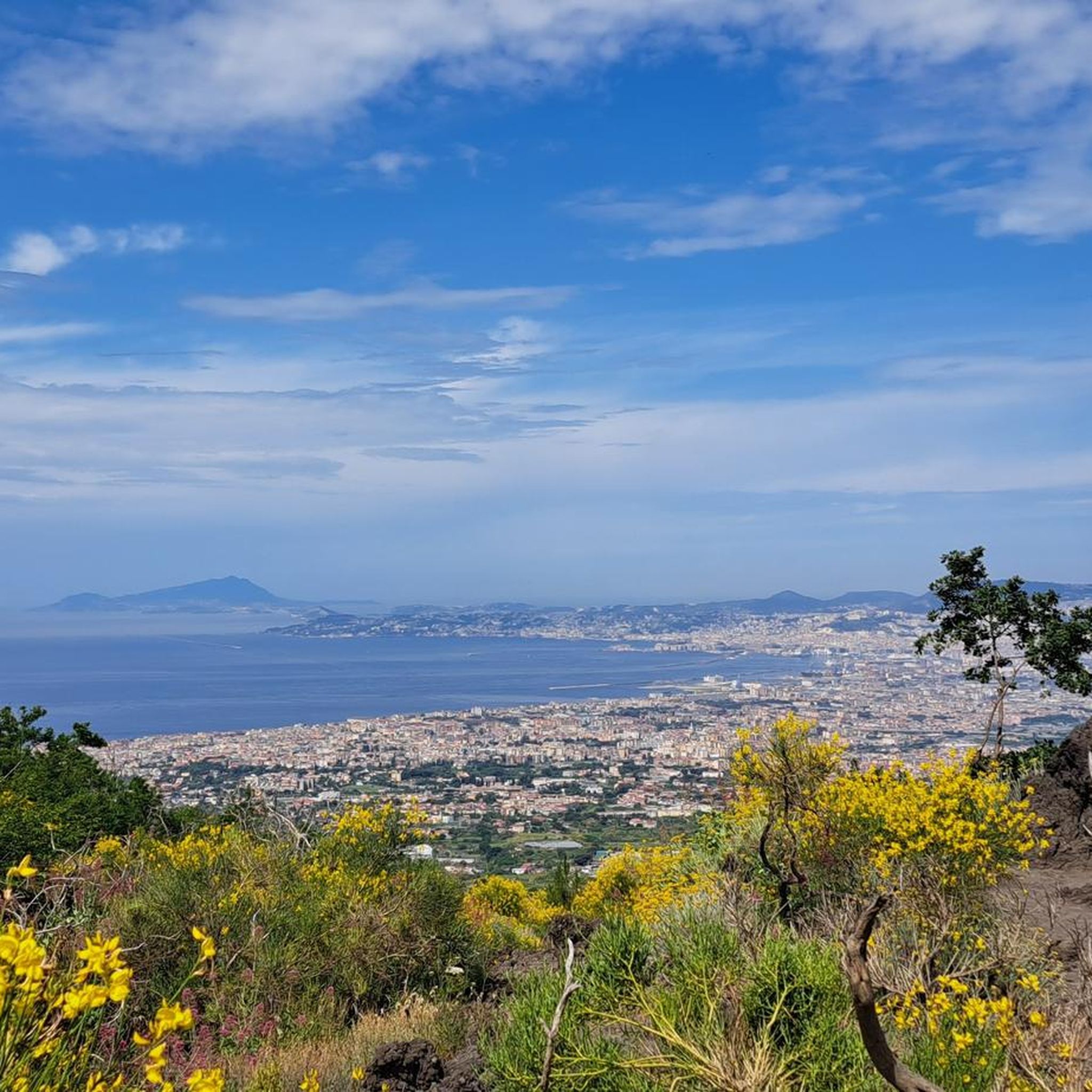

Tips from the Community

A lady pointed out to us that this is private property. We were allowed to continue hiking anyway.
0
0

This climb is tough, unsporting is not so good here, but actually, it's just a steep climb 🥰
0
0

Nature trail no. 5 “Il Gran Cono” starts from the square located at 1000 m above sea level.
2
0

In spring it must be a real spectacle! Simple and clear path.
0
1

Vesuvius offers a breathtaking view and is worth the trip. But be careful: the trip should be planned well in advance (online tickets).
0
0

Admission currently costs 12€
4
0

The Valle dell'Inferno is one of the most beautiful paths in the Vesuvius National Park. It is the route that winds between Mount Somma, an ancient volcano, and Vesuvius, at around 1000 m altitude
0
0

From here you can enjoy a unique view of Capri and the Sorrento peninsula.
1
0
Frequently Asked Questions
What are the general hiking conditions and terrain like in Massa Di Somma?
Hiking in Massa Di Somma is characterized by its unique volcanic landscape, primarily dominated by Mount Vesuvius. Trails often traverse ancient lava flows and lead to the crater rim. The terrain can vary from gentle paths to more challenging ascents, offering diverse experiences within the Vesuvius National Park.
How many hiking trails are available in Massa Di Somma?
There are over 100 hiking trails around Massa Di Somma, catering to a wide range of abilities. You'll find a good mix of easy, moderate, and difficult routes to explore the region's volcanic scenery.
Are there any easy hiking trails suitable for beginners in Massa Di Somma?
Yes, Massa Di Somma offers several easy trails perfect for beginners. For instance, the Crater of Mount Vesuvius – Mount Vesuvius Crater loop from Vesuvius National Park is an easy 2.2-mile (3.5 km) path that provides direct access to the Vesuvius crater.
Are there any circular hiking routes in Massa Di Somma?
Yes, many trails in Massa Di Somma are circular, allowing you to start and end at the same point. A notable option is the The great cone of Vesuvio – loop tour, a moderate 4.5-mile (7.2 km) route offering panoramic views of the Vesuvius crater.
What kind of attractions can I see along the hiking trails in Massa Di Somma?
The trails often lead to significant natural and historical attractions. You can explore the Crater of Mount Vesuvius, discover the Cognoli Summit and Valle dell'Inferno, or even visit the Grotta Fissure. Some routes also pass by the Vesuvius National Park itself.
What is the best season for hiking in Massa Di Somma?
The best seasons for hiking in Massa Di Somma are typically spring (April to June) and autumn (September to October). During these months, the weather is generally mild and pleasant, making for comfortable hiking conditions. Summers can be very hot, and winters might bring colder temperatures and occasional rain.
Are there any family-friendly hiking options in Massa Di Somma?
Many of the easier trails are suitable for families. The Vesuvius National Park offers paths with less elevation gain and shorter distances, making them enjoyable for children. Always check the specific trail's difficulty and length to ensure it matches your family's capabilities.
Is public transport available to reach hiking trailheads in Massa Di Somma?
Yes, public transport options, such as buses, connect Massa Di Somma to various points, including some access points for the Vesuvius National Park. It's advisable to check local bus schedules and routes in advance, especially for specific trailheads, as services can be less frequent in certain areas.
What do other hikers enjoy most about hiking in Massa Di Somma?
The komoot community highly rates hiking in Massa Di Somma, with an average score of 4.3 stars from over 900 reviews. Hikers frequently praise the breathtaking panoramic views of the Bay of Naples and the unique experience of walking on volcanic terrain, especially around the Vesuvius crater.
Are there any longer or more challenging hikes for experienced hikers?
Absolutely. For experienced hikers seeking a challenge, routes like the Vesuvius Grand Cone and Tirone Reserve Loop offer a more demanding experience. This 10.0-mile (16.0 km) difficult trail leads through diverse volcanic landscapes and the Tirone Reserve, taking around 5 hours to complete.
What should I wear for hiking in Massa Di Somma, especially in winter?
In winter, layering is key. Wear moisture-wicking base layers, an insulating mid-layer (fleece or down), and a waterproof and windproof outer shell. Sturdy hiking boots with good grip are essential, as trails can be uneven or slippery. Don't forget a hat, gloves, and plenty of water, even in colder weather.
Are there any hidden gem trails or less-known routes in the area?
While the Vesuvius crater trails are popular, exploring routes slightly off the main tourist paths can reveal quieter sections of the Vesuvius National Park. For example, the Lava flows – loop in the Vesuvius National Park offers a unique perspective on the region's geological history, often with fewer crowds than the direct crater access routes.
Most popular routes around Massa Di Somma
Most popular attractions around Massa Di Somma

Get inspired with the komoot mobile app


Explore more
Browse the best Hikes in other regions.
