Attractions and Places To See around Montemesola - Top 20
Best attractions and places to see around Montemesola, a town situated on a hill in the Taranto Murgia region of Puglia, Italy, offers a combination of historical architecture and natural landscapes. The area provides panoramic views of the Gulf of Taranto and the valley of Grottaglie. Montemesola is characterized by its historical sites, cave settlements, and surrounding centuries-old olive groves. This region provides insights into local culture and geography.
Best attractions and places to see around Montemesola
- The most popular attractions is Gravina di Riggio, a gorge that is part of the Terra delle Gravine Regional Park. Access to this ravine is located in a private fund.
- Another must-see spot is Bucito Cave, a cave connected to the Tratturo Martinese, an ancient communication route. Visitors can find this cave within the Gravine di Grottaglie, where Christmas Mass has been celebrated annually.
- Visitors also love Villa Castelli Hydroelectric Power Plant, a man-made monument that exploits a 120-meter height difference to produce electricity. This plant, originally built in 1929, was reactivated in 2009 using new technologies.
- Montemesola is known for its historical landmarks, natural features, and cultural sites. The area offers a variety of attractions to explore, from ancient churches and palaces to cave settlements and panoramic viewpoints.
- The attractions around Montemesola are appreciated by the komoot community, with more than 60 upvotes and 30 photos shared.
Last updated: May 25, 2026
Ponte di Pietra (Porta Napoli Bridge)
Highlight • Bridge
Translated by Google •
Tip by

Gravina di Riggio
Highlight • Gorge
Translated by Google •
Tip by
Sign up now to discover places like this
Get recommendations on the best single tracks, peaks, & plenty of other exciting outdoor places.
Sign up for free
Bucito Cave
Highlight • Cave
For some years, in the cave annexed to the ravine, on the night of December 25 of each year, the midnight Christmas Mass has been celebrated.
Translated by Google •
Tip by

Villa Castelli Hydroelectric Power Plant
Highlight • Monument
Translated by Google •
Tip by

Church of San Michele (San Simone)
Highlight • Religious Site
Translated by Google •
Tip by
Sign up for free to discover even more attractions around Montemesola.
Sign up for free
Already have an account?
Start today with a free account
Your next adventure awaits.
Login or Signup
Popular around Montemesola
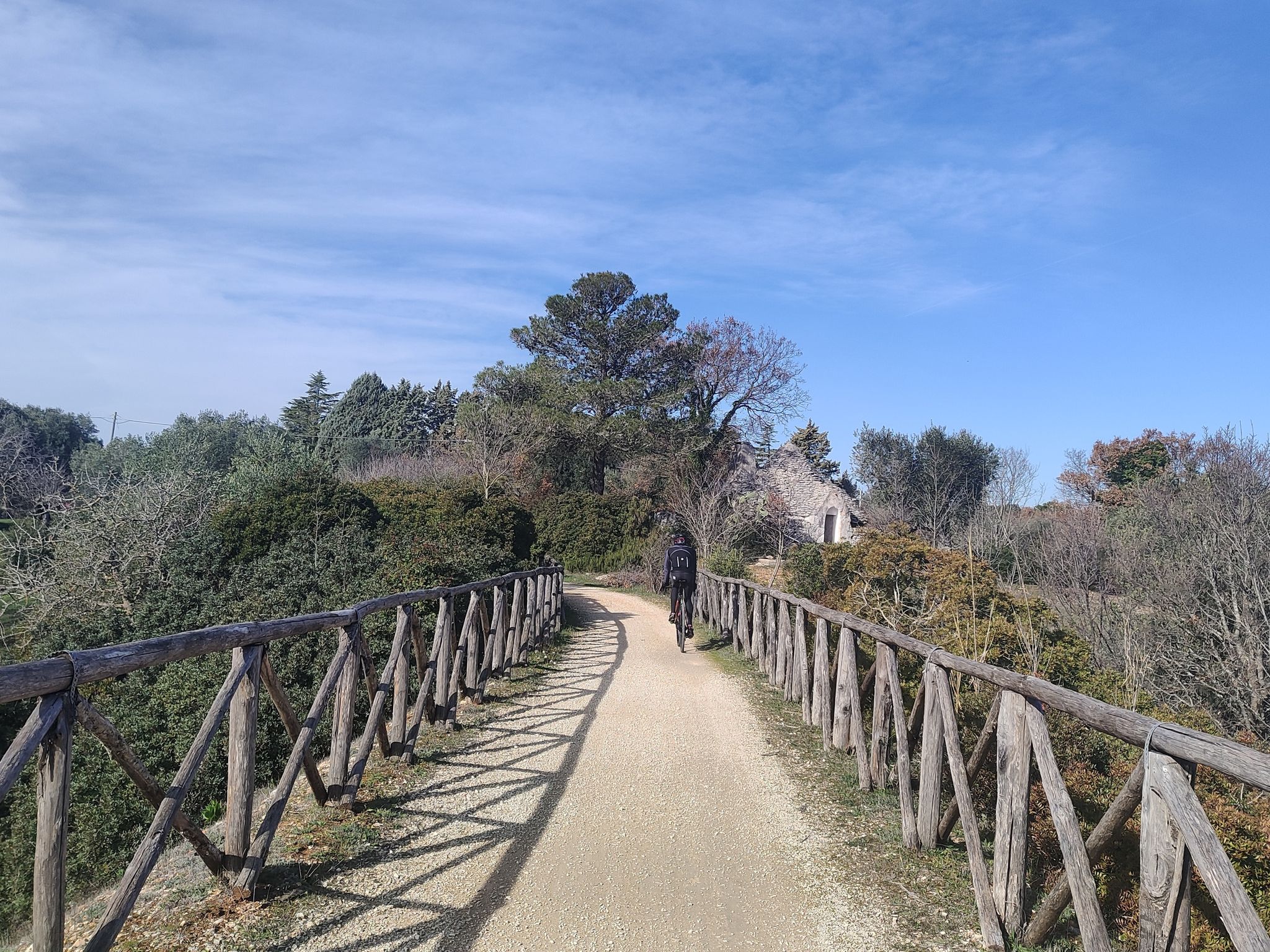
Ciclovia Anello d'oro di Puglia - Viaggio nella Puglia profonda
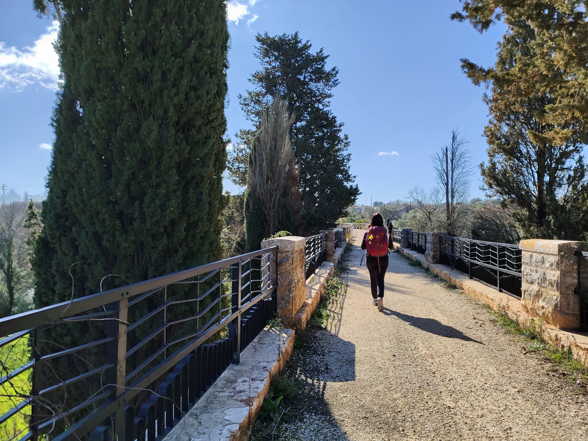
Anello d'oro di Puglia - Trekking nella Puglia profonda
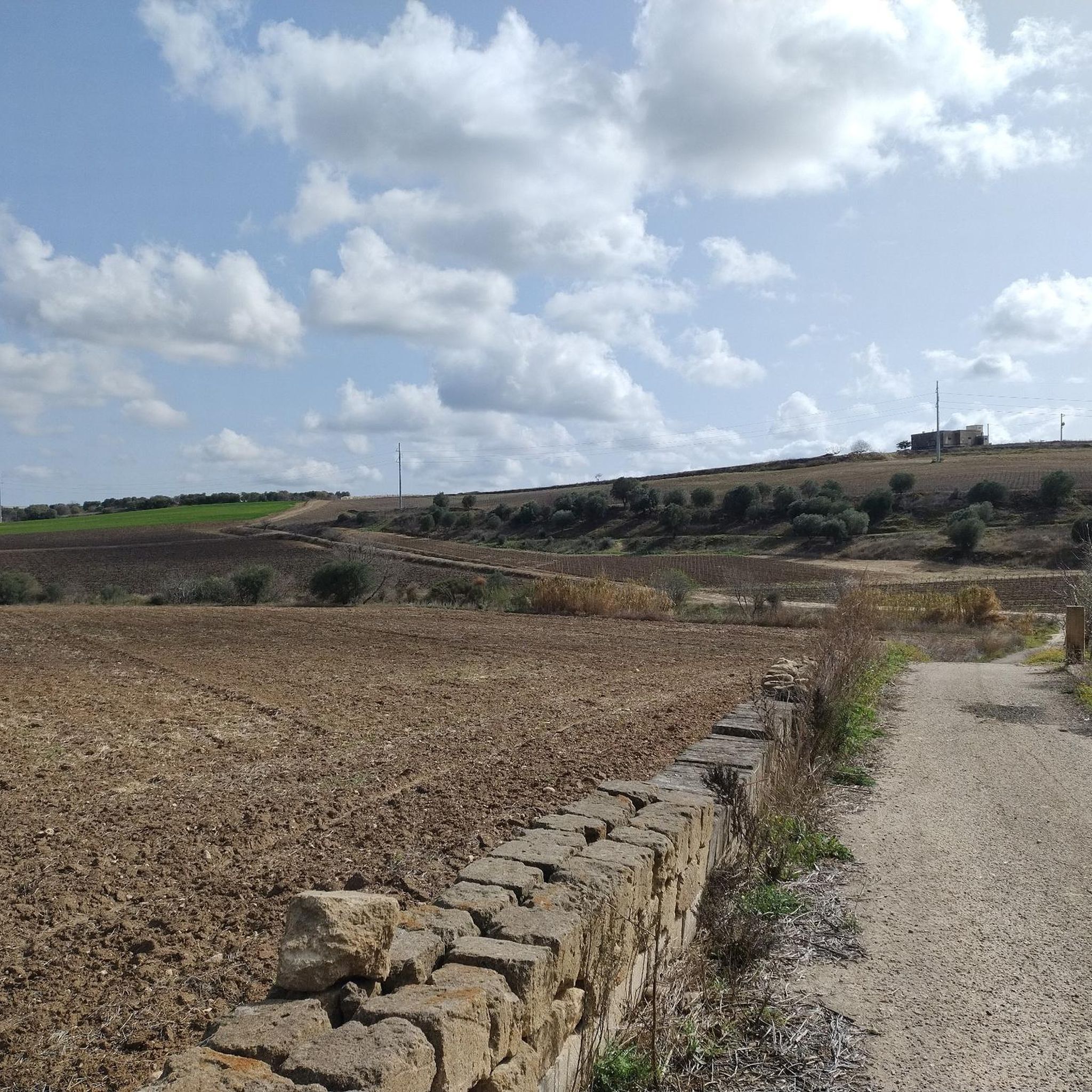
MTB Trails around Montemesola
Road Cycling Routes around Montemesola
Cycling around Montemesola
Hiking around Montemesola

Gravel biking around Montemesola
Running Trails around Montemesola

Tips from the Community

A valley with a small lake, a small natural waterfall—unique in Puglia—and numerous historical sites, from prehistory to the 10th century. A small paradise that many may not know, yet it lies within our territory. We're talking about the Gravina di Riggio, a place of great natural and historical value. A few kilometers from the city, the Gravina di Riggio is a deep valley characterized by a waterfall, a small lake, and a small stream, as well as numerous relics related to the phenomenon of "living in caves." Of particular note is "il Caggione," a circular chasm located near the waterfall. On its sheer walls, a cave village spread across three levels of caves is clearly visible. The remains of a fortification wall, some graffiti, and fragments of pottery date back to the Greek and Roman periods. Finally, the area was heavily inhabited during the Middle Ages, as evidenced by the two frescoed rock churches, the cenobitic hermitage, the pit burials, and a village with communal facilities such as water cisterns and a granary. The Gravina di Riggio rises 4 kilometers from Grottaglie, in the province of Taranto, and is a valley 1,300 meters long and 25 meters deep. In addition to being home to many animal and plant species, it is famous for its caves, some of natural origin, others man-made. The Gravina di Riggio is unique for its waterfall, which after a 15-meter drop feeds a small lake and a stream. The Church-Crypt of the Savior, with frescoes from the 10th and 11th centuries, is also beautiful. A special place not to be missed.
0
0
This hydroelectric plant was once covered in tall pine trees (and still is today) to prevent it from being bombed during World War II. The area is known as "abbascj alla Centrel," and in the past, many people bathed in the canals built near the plant and running through the countryside; the water was fresh, clear, and drinkable. Unfortunately, the canals are poorly maintained, but this place continues to fascinate tourists and all those who come to visit, upon request, especially in May, if they wish to enter the plant. The Apulian Aqueduct Cycle Route has been open for several years next to the hydroelectric plant. This cycle route allows many bike and nature lovers to pedal, walk, and observe the many wonderful places of the Murgia, the Itria Valley, and Salento.
0
0

Built in 1938 and erected in 1958, the Parish of San Michele Arcangelo is located in the small village of San Simone (Crispiano-TA). Behind it we find the chapel dedicated to Maria SS.ma del Carmelo built in 1649, as can be seen from the date engraved on the entrance architrave, together with the coat of arms IHS, Iesus Hominum Salvator, Jesus Savior of men. In ancient times it was dedicated to San Filippo Neri, depicted in the apse of the same chapel, next to the Virgin, to the right of the observer, because the entire farmhouse belonged to the homonymous farm, bordering the church. This farm was later called San Simini and still retains this name today. Due to its position in relation to the cow cart, the chapel suggests that in its time it served as a stop and reference point in the transhumance from the Murge towards Salento. The chapel consists of a single small room with barrel vaults and inside there are frescoes: the Virgin of Carmel with Child, on the left St. Thomas the Apostle and St. Michael the Archangel and St. Martin of Tours, on the right St. Philip Neri and St. Simon the Apostle. Above the entrance door stands a beautiful bell tower with a 19th-century bell.
0
0
Built in 1919 and still active, with the original machinery inside, it is a testimony to the technological aspects of this heritage and its evolution over time, with recent adjustments and attention to the use of renewable energy sources.
0
0
This power plant, which already existed in 1929, produced electricity until 1971. Since March 16, 2009, after almost 40 years, thanks to the use of new technologies and the commitment of the Apulian Aqueduct, it has been operational again, as part of an A.Q.P. Plan.
0
0
"The Bucito Cave", in Grottaglie I'll make a very brief introduction: generally the manifestations of worship in caves, here, refer to what is the devotion for the Archangel Michael (quis ut Deus). And we owe this to the Lombards who made him their national saint. I would not leave out, however, the Byzantines of Puglia among whom this saint enjoyed enormous popularity. "The Grottaglie area, like other places in the area, has been inhabited by man since the most remote times. In fact, in some districts (Bucito, Coluccio and Lonoce) roughly worked stone tools, splinters and processing residues have been found, belonging to the Paleolithic, that is, to the period of the Ancient Stone. The Buccito Cave (or Coluccio), near Grottaglie, is located at an important road junction, closely connected to the Tratturo Martinese. These are the oldest signs of the presence of man in our territory. In the Neolithic Age (from the mid-5th to the first centuries of the 4th millennium BC) the first agricultural villages began to emerge (Bucito and Caprarica). Caves and natural caverns were then used in all phases of the Bronze and Iron Ages, especially in the villages of Riggio, Lonoce, Fullonese and Pensieri. In the last period of the Bronze Age, the agricultural economy took over from pastoralism, so the ravines were gradually abandoned to form small urban-type settlements. This process was however stifled with the foundation of Taranto by Spartan colonists (towards the end of the 8th century BC)” (From metropolis.it) Why is it called that? The cave takes its name from the Greek term βοῦς, βοός- bus,- or “ox” and οἰκία or “house, shelter, dwelling” and therefore, originally, indicated a place of shelter for these animals. The Greek etymology is evidence of both Magna Graecia, of Byzantine d+-++-homination and of the subsequent presence of the Basilian monks in our territory For some years, in this cave, the mass of December 24th was celebrated. Suggestive! A custom that would be nice to resume, both for our religion and for our traditions.
0
0
The Cave is part of the Gravine di Grottaglie and is located in the Terra delle Gravine Regional Park. The Bucito cave (also known as the Coluccio cave) is located in an important road junction, closely connected to the Tratturo Martinese, an ancient primary communication route until the 19th century in Puglia. On a boulder adjacent to the cave there are two statuettes, one of Padre Pio da Pietrelcina and one of Jesus Christ. Until a few years ago, in the Bucito cave, on the night of December 25, the inhabitants of Grottaglie and the surrounding area flocked there for the Christmas vigil and for the celebration of the Midnight Christmas Mass.
0
0
The "Stone Bridge", also called "Porta Napoli Bridge" and today dedicated to Sant'Egidio Maria da Taranto, was built in 1883 after a disastrous flood (on the night between 14 and 15 September of the same year) destroyed the seven-arch bridge built in the 10th century. A.D. by Emperor Nicephorus II Phocas. The ancient Byzantine structure followed a slightly different axis from the current one to better respond to the risk of attack. Under the threat of increasingly frequent military incursions, the bridge, as well as the western access to the city f
1
0
Frequently Asked Questions
What historical sites can I explore in Montemesola?
Montemesola's rich history is visible throughout the town. You can explore the Old Town (Centro Storico) with its unique geometric design, the majestic Palazzo Marchesale, and the restored Town Gates like Porta di San Martino and Porta di San Gennaro, which still bear the Saraceno family's coat of arms. Religious history is also prominent with churches such as the 13th-century Chiesa di Santa Maria della Croce and the 18th-century Chiesa di San Michele Arcangelo.
Are there any notable natural features or landscapes to see around Montemesola?
Yes, Montemesola is situated on a hill within the Murgia Tarantina region, offering suggestive panoramic views of the Gulf of Taranto and the valley of Grottaglie. The area is also surrounded by centuries-old olive groves. For a more dramatic natural experience, visit Gravina di Riggio, a significant gorge within the Terra delle Gravine Regional Park, known for its natural beauty and historical importance.
What kind of outdoor activities can I do near Montemesola?
The region around Montemesola offers various outdoor activities. For cycling enthusiasts, there are numerous routes for both gravel biking and touring. You can find detailed guides and routes for gravel biking and cycling, with options ranging from moderate to difficult. Hikers can also explore several trails, including moderate routes like the 'Arena delle Cave – Cava Grande Trail loop' or the 'La Foggia Lama Cupa loop'. More options are available in the hiking guide for Montemesola.
Are there any unique man-made attractions or historical monuments to visit?
Beyond the traditional historical buildings, you can visit the Villa Castelli Hydroelectric Power Plant. This impressive man-made monument, originally built in 1929 and reactivated with modern technology in 2009, exploits a 120-meter height difference to produce electricity. It's a fascinating example of engineering and historical industrial heritage.
What is the Bucito Cave and why is it significant?
The Bucito Cave, also known as Coluccio Cave, is a significant historical and natural site located within the Gravine di Grottaglie. It is closely connected to the ancient Tratturo Martinese communication route. Evidence of cave settlements dating back to Neolithic times has been found here, making it one of the oldest signs of human presence in the area. Historically, it was also a site for religious gatherings, with Christmas Mass celebrated annually.
What is the best time of year to visit Montemesola?
Montemesola can be enjoyed throughout the year, but the end of July or beginning of August offers a unique cultural experience with the annual Gran Festival dei Baffi (Great Moustache Festival). For outdoor activities like hiking and cycling, spring and autumn provide pleasant temperatures, while summer can be warm but is ideal for enjoying the local festivals and evening strolls.
Are there any family-friendly attractions or activities in Montemesola?
While Montemesola's historical sites are generally suitable for families, the Ponte di Pietra (Porta Napoli Bridge), which serves as an entrance to the Old Town of Taranto, is categorized as family-friendly and offers suggestive views. Exploring the town's historic center and enjoying the panoramic views can also be a pleasant family activity. Many of the nearby hiking and cycling routes also have easier sections suitable for families.
What cultural events or traditions are unique to Montemesola?
Montemesola is famous for its annual Gran Festival dei Baffi (Great Moustache Festival), which takes place at the end of July or beginning of August. This quirky and celebrated event, originating in 1965, attracts participants from all over Italy and beyond, making it a unique cultural highlight and a fun experience for visitors.
Can I find viewpoints in Montemesola to enjoy the scenery?
Absolutely. Montemesola is perched on a hill, providing excellent panoramic views. From various points in town, you can enjoy suggestive vistas encompassing the Gulf of Taranto, the valley of Grottaglie and San Giorgio, and the plains stretching across Pulsano, Leporano, and Talsano. The Ponte di Pietra (Porta Napoli Bridge) also offers suggestive views, particularly at dawn or sunset.
What is the Church of San Michele (San Simone) and its historical context?
The Church of San Michele (San Simone), located in the small village of San Simone near Crispiano, was built in 1938. Behind it stands a chapel dedicated to Maria SS.ma del Carmelo, dating back to 1649. This chapel, with its ancient frescoes, served as a stop and reference point during the transhumance from the Murge towards Salento, highlighting the region's pastoral history.
What are some of the oldest religious buildings in Montemesola?
The oldest existing church in Montemesola is the Chiesa di Santa Maria della Croce, believed to have been built in the 13th century. It underwent restoration in 1959 and was reopened for worship in 1966, housing an artistic crucifix from 1797. Another significant historical church is the Chiesa di San Michele Arcangelo, built in 1733 by Benedetto Saraceno.
What kind of local cuisine and wines can I expect in the Montemesola area?
The Montemesola region is known for its authentic Apulian cuisine. You can savor local specialties such as broad beans with bread pieces. The area is also famous for its typical wines, including Aleatico, Martina Franca, Primitivo, and Lizzano, offering a delightful culinary experience alongside your explorations.
Most popular routes around Montemesola
Most popular attractions around Montemesola

Get inspired with the komoot mobile app


Explore more
Still not found the Highlight you’re looking for? See guides of the top attractions in other regions:
