The best walks and hikes around Anzi
4.5
(304)
1,351
hikers
48
hikes
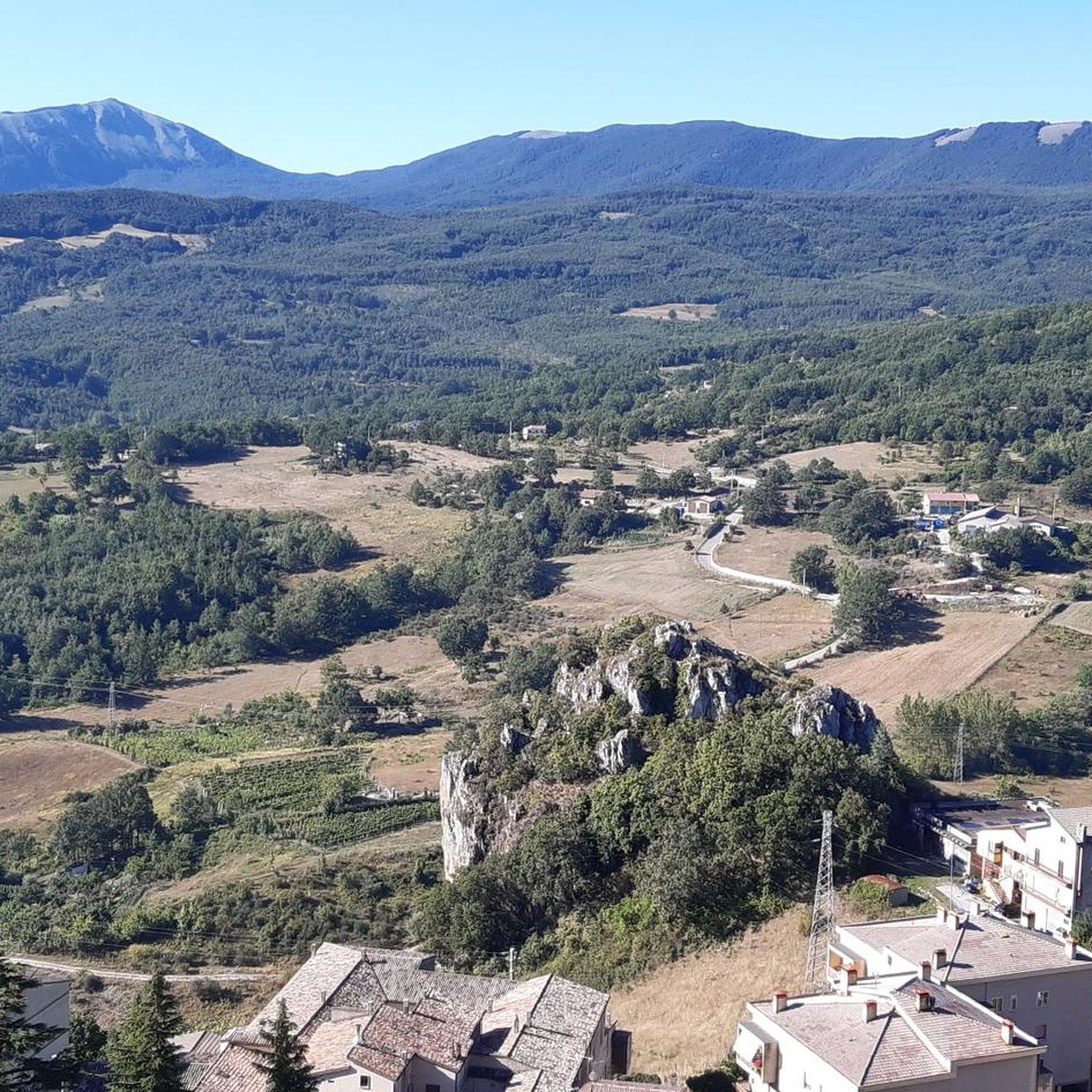
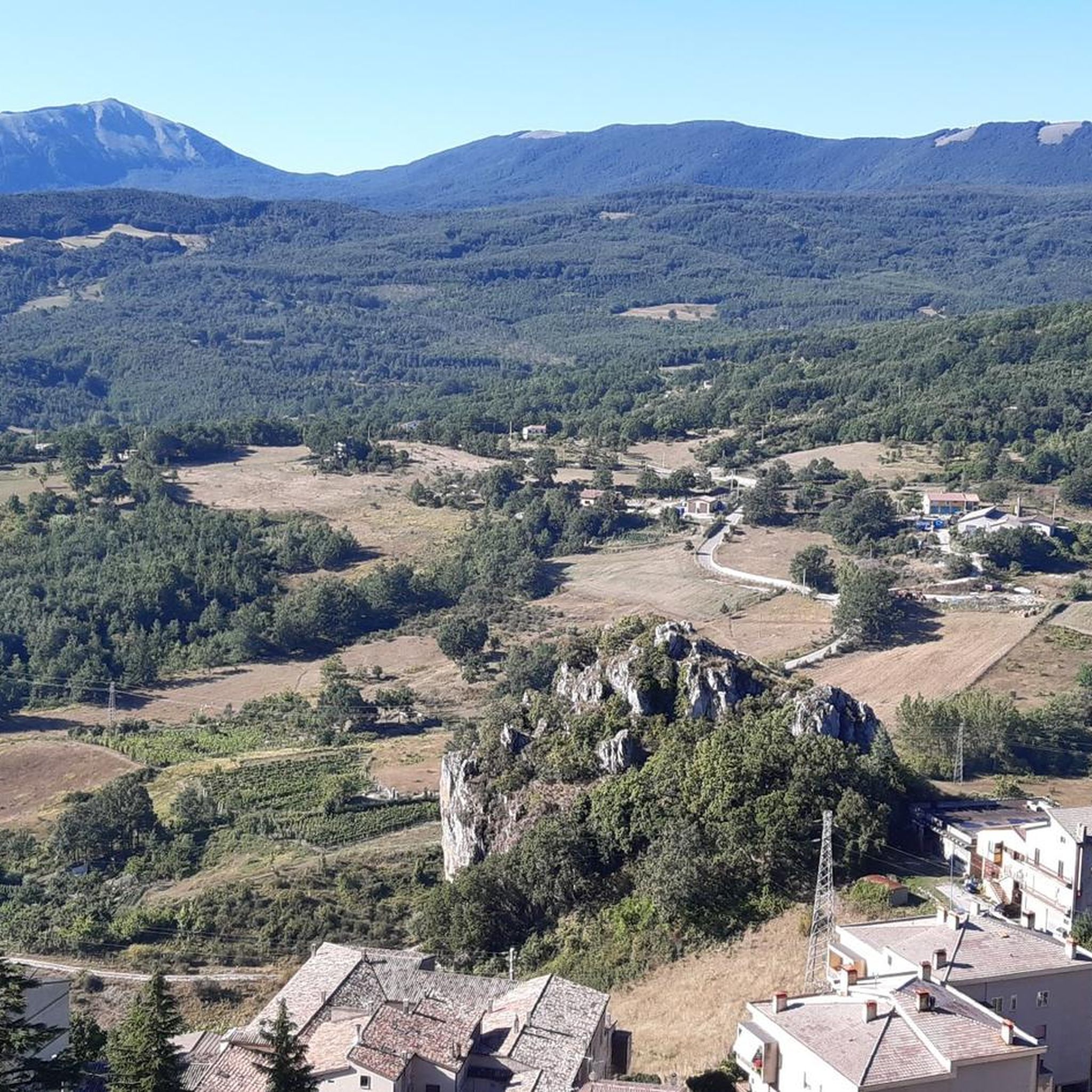
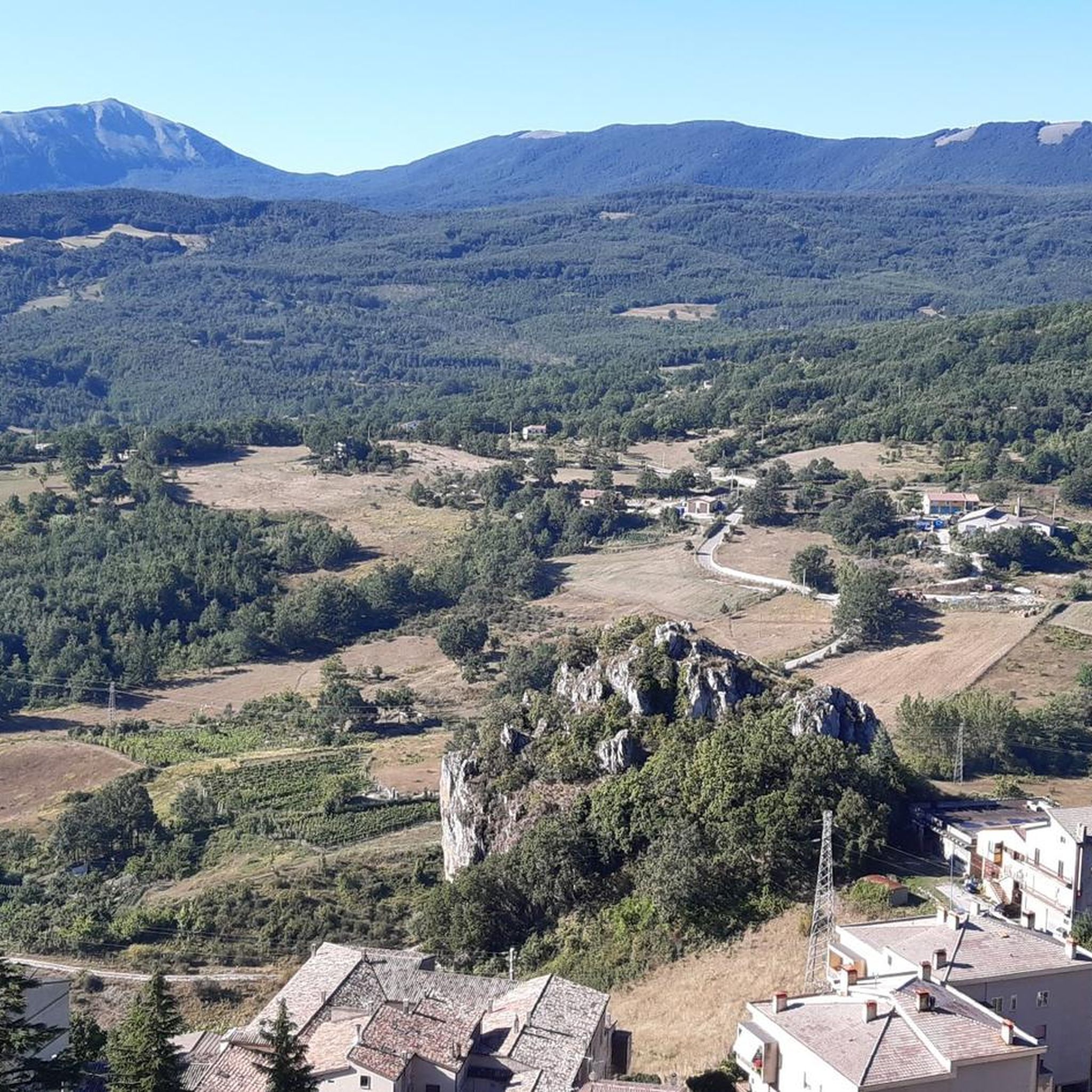
Hiking around Anzi offers access to mountainous terrain and valleys within the Appennino Lucano Val d'Agri Lagonegrese National Park. The region is characterized by forests and diverse ecosystems, with the village itself situated on Mount S. Maria and Mount Siri, providing expansive views. Trails traverse varied landscapes, including elevated viewpoints and natural areas.
Best hiking trails around Anzi
- The most popular hiking route is From Castelmezzano to Pietrapertosa - loop in the Gallipoli Cognato Piccole Dolomiti Lucane Regional Park,…
Last updated: October 5, 2026
4.7
(3)
13
hikers
Hard hike. Good fitness required. Sure-footedness, sturdy shoes and alpine experience required.
4.7
(69)
342
hikers
8.29km
02:58
490m
490m
Moderate hike. Good fitness required. Easily-accessible paths. Suitable for all skill levels.

3.8
(20)
47
hikers
7.12km
02:27
370m
370m
Moderate hike. Good fitness required. Easily-accessible paths. Suitable for all skill levels.
4.8
(6)
40
hikers
20.4km
07:18
1,120m
1,120m
Hard hike. Very good fitness required. Sure-footedness, sturdy shoes and alpine experience required.
4.7
(16)
44
hikers
12.2km
04:03
560m
560m
Moderate hike. Good fitness required. Easily-accessible paths. Suitable for all skill levels.
Get access to more routes and recommendations from other explorers.
Already have an account?
Our route recommendations are based on thousands of hikes, rides, and runs completed by other people on komoot.
Start today with a free account
Your next adventure awaits.

Tips from the Community

Great, easy route switching from the new road to the old road no longer open to traffic. Amazing views.
0
0

After the narrow alleys and steps through the old town, the climb to the rocks is worthwhile. Even in rainy weather, the rocks are easily accessible via iron stairs. In heavy rain, every small alley becomes a rushing stream.
3
0

From up here you have a wonderful view
0
0

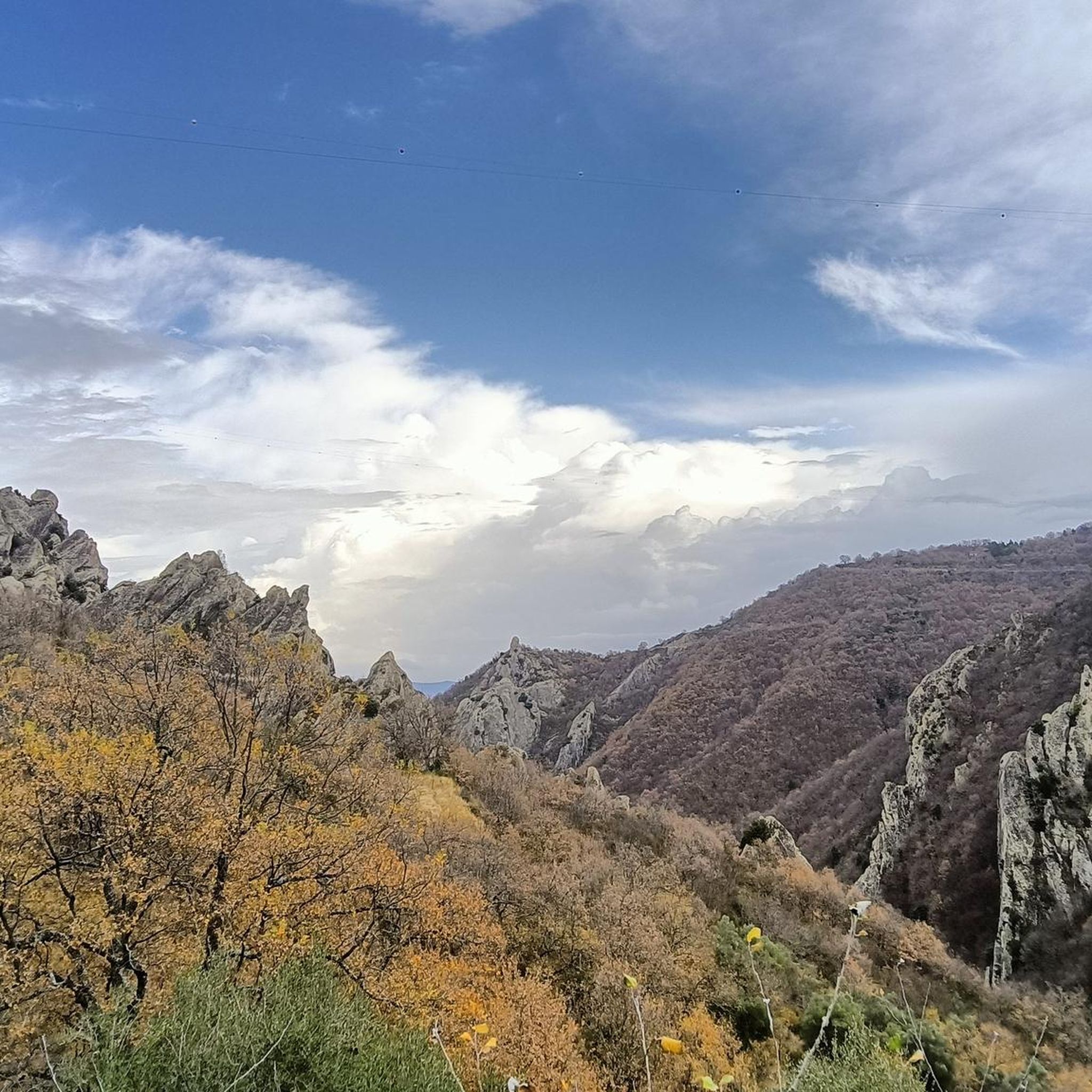
In the upper part of this beautiful village, a beautiful panoramic corner of the spiers of the Lucanian Dolomites.
0
0

The Nepalese bridge connects the two starting points of the Salemm and Marcirosa via ferrata, allowing you to reach Antro delle Streghe or the plateau. The bridge is 72 meters long, the maximum height from the ground is from 35 to 650 meters above sea level.
2
1
Steep stairs, narrow streets, some chapels and churches are waiting to be explored. There are beautiful views from the Piazza Emilio Caizzo of the village and the surrounding countryside.
2
0

A beautiful rope bridge in a postcard setting, definitely a wonderful experience.
1
0
Frequently Asked Questions
How many hiking trails are there in Anzi?
Anzi offers a diverse range of hiking opportunities, with over 30 routes available. These trails cater to various skill levels, including easy, moderate, and difficult options.
Are there easy hiking trails suitable for beginners or families in Anzi?
Yes, Anzi has several easy hiking trails perfect for beginners or families. There are 13 easy routes, such as the Scenic Alley of Pietrapertosa – Horses in the Valley loop from Castelmezzano, which is just over 3.6 km long and takes about 1 hour 25 minutes. These trails often provide gentle gradients and scenic views without significant challenges.
What about more challenging hikes around Anzi?
For experienced hikers seeking a challenge, Anzi offers 5 difficult routes. A notable option is the From Castelmezzano to Pietrapertosa - loop in the Gallipoli Cognato Piccole Dolomiti Lucane Regional Park, a 6.6 km trail with significant elevation changes that typically takes around 2 hours 50 minutes to complete.
What kind of views or natural landmarks can I expect to see on hikes near Anzi?
Hikes around Anzi offer breathtaking panoramic views of valleys and mountains, as the village is situated on Mount S. Maria and Mount Siri. You'll be within the Appennino Lucano Val d'Agri Lagonegrese National Park, known for its diverse ecosystems and forests. Nearby natural attractions include the scenic Piana del Lago and the beautiful View of Castelmezzano from Pietrapertosa.
Are there any cultural or historical attractions to visit after a hike?
Absolutely. The historic village of Anzi itself offers narrow alleys and stone houses, providing an authentic cultural experience. Nearby, you can explore the charming village of Pietrapertosa, known for its unique setting. For a unique experience, the Planetarium and Astronomical Observatory on Monte Siri is one of Europe's highest, offering stargazing opportunities.
Are there circular hiking routes available in Anzi?
Yes, many of the trails around Anzi are designed as loops, allowing you to start and end in the same location. Examples include the moderate View of Castelmezzano – Castelmezzano Village loop from Castelmezzano, which is 7.1 km long, and the longer Castelmezzano – Pietrapertosa Castle loop from Castelmezzano, spanning 12.4 km.
How long do hikes around Anzi typically take?
Hiking durations vary significantly based on the trail's length and difficulty. Easy routes like The Witches' Cave – Horses in the Valley loop from Castelmezzano can be completed in about 1 hour 20 minutes, while moderate trails might take 2-3 hours. Longer, more challenging hikes can extend to 4 hours or more, such as the 12.4 km Castelmezzano – Pietrapertosa Castle loop from Castelmezzano.
What is the best time of year to go hiking in Anzi?
Anzi, located at an altitude of approximately 1,000 meters, offers pleasant hiking conditions during spring, summer, and early autumn. These seasons provide favorable weather for exploring the mountainous terrain and enjoying the panoramic views. The region's natural beauty is particularly vibrant in spring and autumn.
Can I bring my dog on the hiking trails in Anzi?
As Anzi is located within the Appennino Lucano Val d'Agri Lagonegrese National Park, dogs are generally permitted on trails, but it's advisable to keep them on a leash to protect the local wildlife and ensure their safety. Always check specific trail regulations before heading out.
What do other hikers say about the trails in Anzi?
The hiking routes in Anzi are highly regarded by the komoot community, holding an average rating of 4.6 stars from over 160 reviews. Hikers frequently praise the stunning natural beauty, diverse landscapes, and the well-maintained paths that offer a rewarding outdoor experience.
Is parking available at the trailheads, or is public transport an option?
While specific trailhead parking details vary, Anzi is a village with local amenities, and parking is generally available within or near the village center. For reaching trailheads further afield, a car is often the most convenient option. Public transport options to the more remote trail starting points might be limited, so planning ahead is recommended.
Are there places to eat or drink near the hiking trails in Anzi?
Anzi, with its historic village charm, offers local cafes and restaurants where you can refuel after your hike. These establishments provide an opportunity to experience local Basilicata cuisine and hospitality. It's a good idea to check opening hours, especially outside of peak tourist seasons.
Most popular attractions around Anzi

Get inspired with the komoot mobile app


Explore more
Browse the best Hikes in other regions.
