The best walks and hikes around Prinzenmoor
4.6
(471)
1,745
hikers
164
hikes
Hiking around Prinzenmoor offers a network of trails through a predominantly flat landscape. The region is characterized by low elevation changes, often featuring paths alongside water bodies and through open countryside. These routes provide opportunities to experience the local environment, which includes areas around the Prinzenmoor itself and nearby waterways.
Best hiking trails around Prinzenmoor
- The most popular hiking route is Prinzenmoor – Southern Trail at Prinzenmoor loop from Prinzenmoor, a 2.4 miles (3.9 km) trail that takes about…
Last updated: May 20, 2026
5.0
(2)
4
hikers
Easy hike. Great for any fitness level. Easily-accessible paths. Suitable for all skill levels.
5.0
(2)
6
hikers
8.07km
02:02
10m
10m
Moderate hike. Good fitness required. Easily-accessible paths. Suitable for all skill levels.

Sign up for free
3
hikers
5.04km
01:17
10m
10m
Easy hike. Great for any fitness level. Easily-accessible paths. Suitable for all skill levels.
5.0
(1)
5
hikers
7.19km
01:49
10m
10m
Easy hike. Great for any fitness level. Easily-accessible paths. Suitable for all skill levels.
4
hikers
7.15km
01:49
20m
20m
Easy hike. Great for any fitness level. Easily-accessible paths. Suitable for all skill levels.
Get access to more routes and recommendations from other explorers.
Sign up for free
Already have an account?
Our route recommendations are based on thousands of hikes, rides, and runs completed by other people on komoot.
Start today with a free account
Your next adventure awaits.
Login or Signup


Tips from the Community

Since there are generally few benches here, a suggestion for a good picnic spot would be welcome.
1
0
The western tangent at Prinzenmoor is a good 1 km long. Komoot, or OSM, Open Street Map, on whose maps Komoot is based, conceals a direct avenue-like access to the Prinzenmoor settlement at the northern end of the western tangent.
3
0
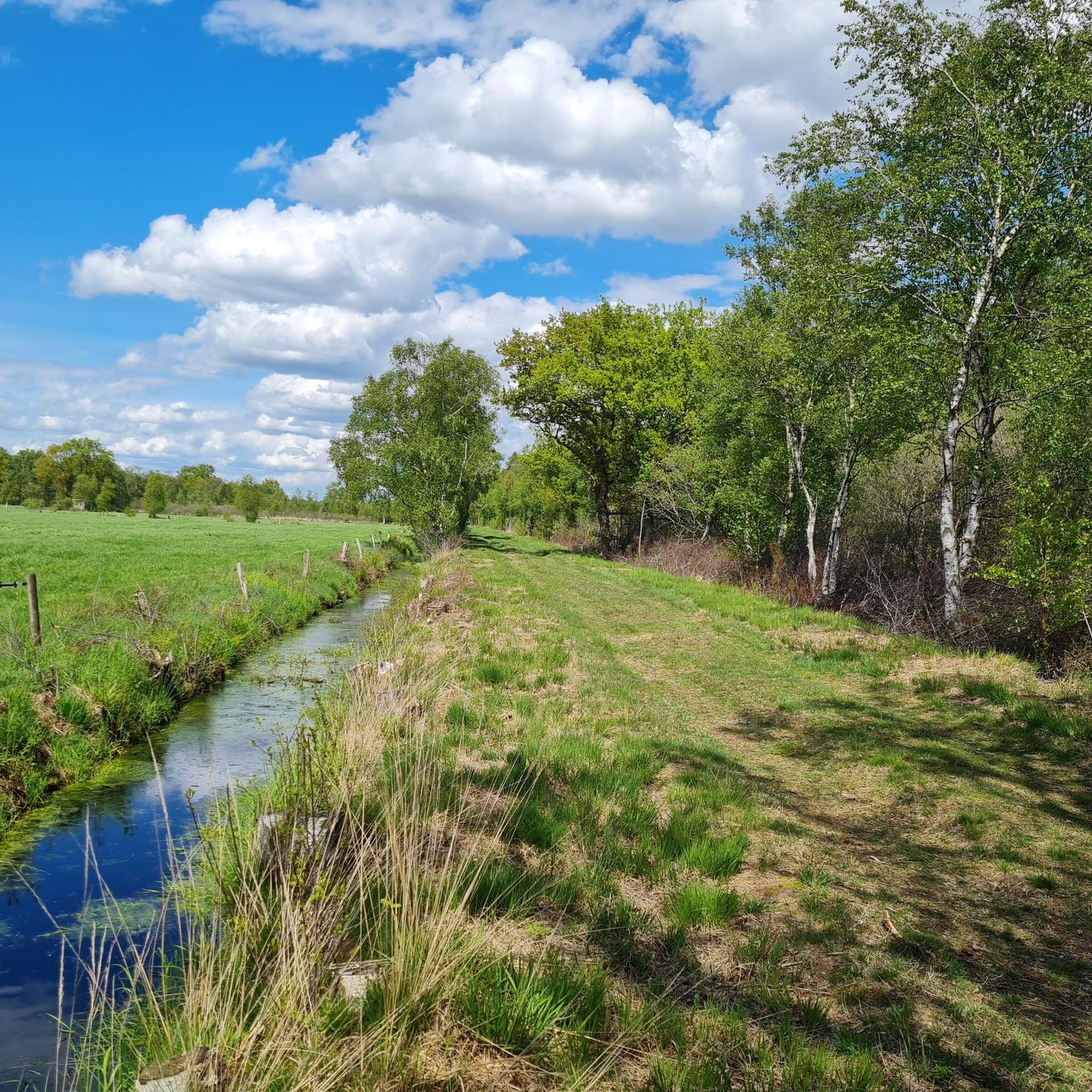
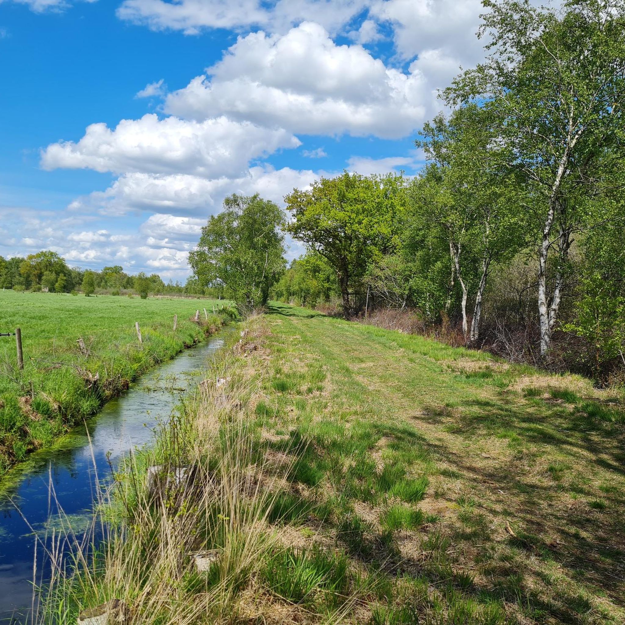
The tangent has a small ditch to the west. It's partly wooded. With a bit of luck, you'll spot animal traps. For martens? And at the northern end, a bench in the shade.
3
0
The southern tangent is a good 1 km long. It's easily accessible and enjoys plenty of sunshine.
4
0
The bench is fully shaded on the main path, near the northern entrance to the moor.
3
0
Sunsets are easy to observe here because the land is so flat. Whether this is a local highlight is up to each individual to decide.
4
0
From this dike-like elevation, you have a wonderful view of the fork in the Eider River and the Giselau Canal. This is the only connection between the Eider and the Kiel Canal.
3
0
The café-restaurant offers home-style cooking. Overnight stays are also available.
4
0
Frequently Asked Questions
How many hiking trails are available in Prinzenmoor?
There are over 160 hiking trails around Prinzenmoor, offering a wide range of options for different preferences and fitness levels. These include 98 easy routes, 61 moderate, and a few more challenging paths.
What kind of terrain can I expect on hikes around Prinzenmoor?
The hiking trails in Prinzenmoor are characterized by a predominantly flat landscape with low elevation changes. You'll often find paths running alongside water bodies and through open countryside, providing a gentle and accessible outdoor experience.
Are there easy hikes suitable for beginners or families in Prinzenmoor?
Yes, Prinzenmoor is ideal for beginners and families due to its flat terrain. Many routes are considered easy, such as the Prinzenmoor – Southern Trail at Prinzenmoor loop from Prinzenmoor, which is a gentle 2.4-mile (3.9 km) path perfect for a leisurely stroll.
Are there any circular walks in Prinzenmoor?
Prinzenmoor offers several excellent circular walks. A popular option is the Schöpfwerk Hamdorf/Prinzenmoor loop from Prinzenmoor, a moderate 5.0-mile (8.1 km) route that takes you through the surrounding flatlands and typically takes about 2 hours to complete.
What interesting natural sights or landmarks can I see while hiking?
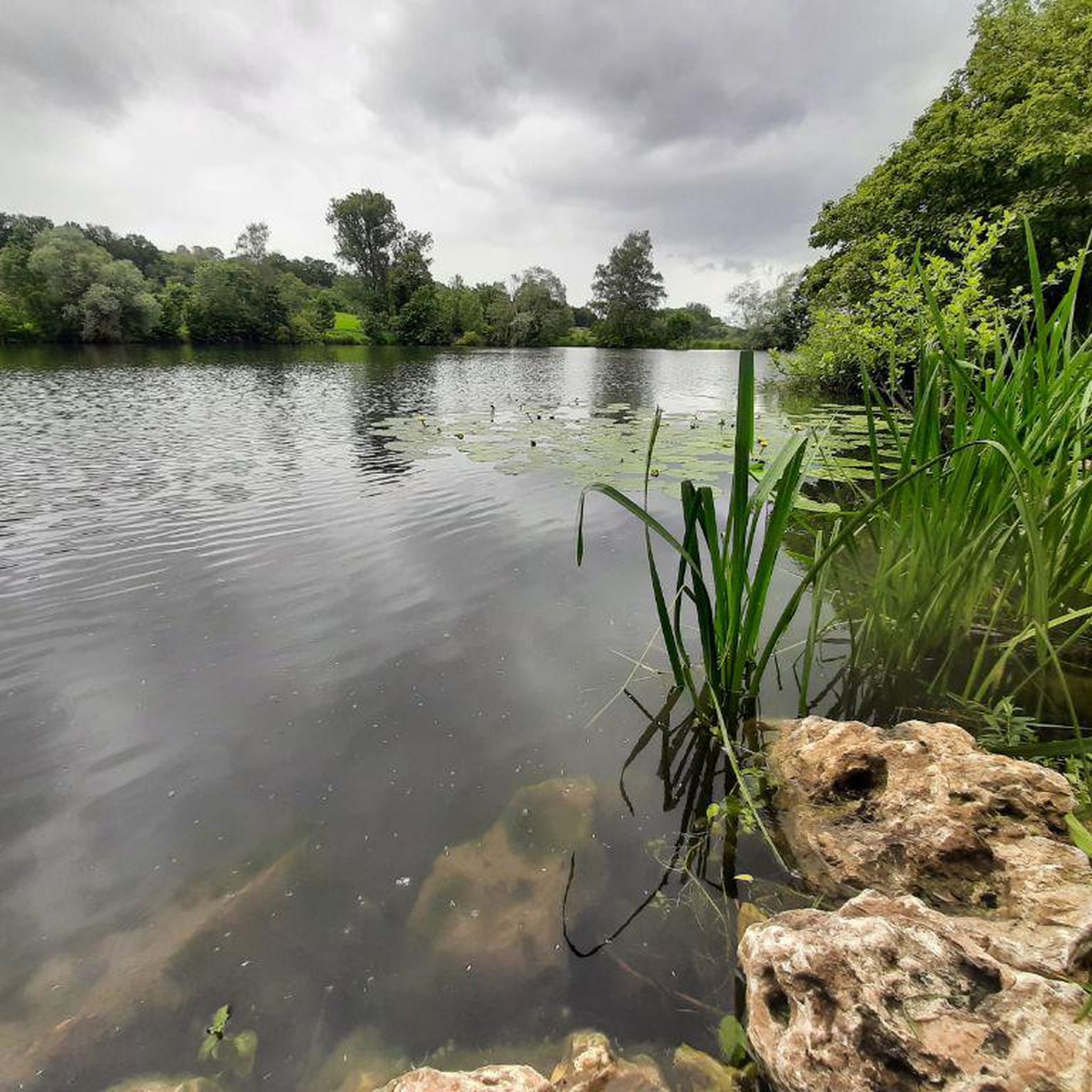
While hiking around Prinzenmoor, you can explore various natural attractions. Highlights include the serene Hohner Lake, the protected Dellstedter Birkwildmoor Nature Reserve, and the scenic Eidertal Escarpment: Pahlhude to Dörpling-Hohenlieth. You might also spot the Birdwatching Hide at Hohner See.
What do other hikers enjoy most about the trails in Prinzenmoor?
The komoot community highly rates the trails in Prinzenmoor, with an average score of 4.6 stars from over 450 reviews. Hikers often praise the peaceful, flat paths, the proximity to water features, and the accessibility of the routes, making them enjoyable for various ability levels.
Are dogs allowed on the hiking trails in Prinzenmoor?
Generally, dogs are welcome on trails in the Prinzenmoor area. However, it's always recommended to keep them on a leash, especially when passing through nature reserves or areas with livestock, and to clean up after them to preserve the natural environment for everyone.
Where can I find parking for hiking trails in Prinzenmoor?
While specific parking areas aren't detailed for every route, many trails, particularly those starting 'from Prinzenmoor' or named after local villages, typically have parking available near their starting points. It's advisable to check the route details on komoot for specific parking information before you head out.
What is the best time of year to hike in Prinzenmoor?
Prinzenmoor offers pleasant hiking experiences throughout much of the year. Spring and summer provide lush greenery and warmer weather, while autumn brings beautiful colors. Due to the flat terrain, winter hiking can also be enjoyable, though paths might be damp or frosty.
Are there any longer, more moderate hikes available?
Yes, for those looking for a longer journey, routes like the Altenfähre Shelter – Eider Harbor loop from Prinzenmoor offer a moderate challenge. This 4.4-mile (7.1 km) trail provides a more extended exploration of the area, often completed in about 2 hours.
What should I wear for hiking in Prinzenmoor?
Given the flat and often waterside terrain, comfortable walking shoes or light hiking boots are usually sufficient. Dress in layers to adapt to changing weather, and consider waterproof outerwear, especially during cooler or wetter seasons, as paths can be exposed.
Are there any trails near the Eider River?
Yes, several trails lead through areas near the Eider River. The Eider Harbor loop from Prinzenmoor is a 3.1-mile (5.0 km) trail that specifically explores the vicinity of the Eider, offering scenic views of the waterway.
Most popular routes around Prinzenmoor
Most popular attractions around Prinzenmoor

Get inspired with the komoot mobile app


Explore more
Browse the best Hikes in other regions.
