The best road cycling routes around Carbone
3.8
(9)
243
riders
35
rides
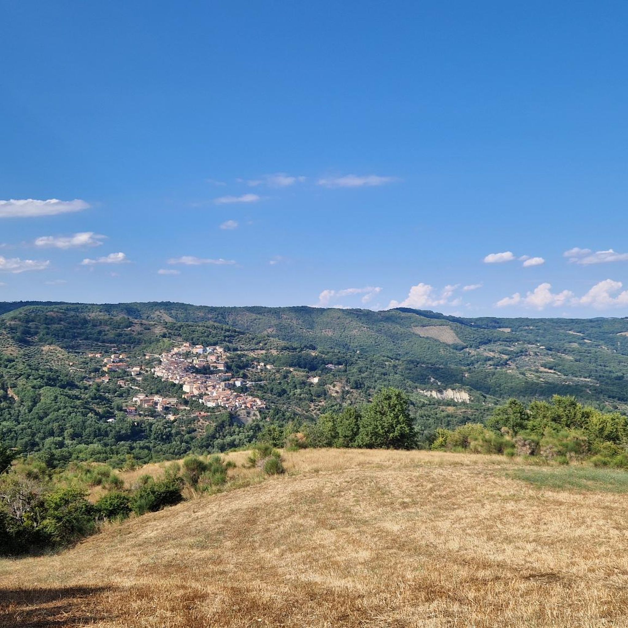
Road cycling routes around Carbone traverse a landscape characterized by significant elevation changes, indicative of a hilly or mountainous terrain. The region features winding roads that connect small towns and offer views of valleys and natural features. These routes often involve sustained climbs and descents, providing a challenging experience for road cyclists.
Best road cycling routes around Carbone
- The most popular road cycling route is Castronuovo di Sant'Andrea from Carbone – ring tour, a 40.2 miles (64.7 km) trail…
Last updated: August 31, 2026
6
riders
64.7km
03:29
1,320m
1,320m
Hard road ride. Very good fitness required. Mostly well-paved surfaces and easy to ride.
18
riders
60.1km
03:05
1,050m
1,050m
Hard road ride. Very good fitness required. Mostly well-paved surfaces and easy to ride.

Sign up for free
4.0
(1)
15
riders
93.6km
05:13
2,010m
2,010m
Hard road ride. Very good fitness required. Some segments of this route may be unpaved and difficult to ride.
11
riders
72.3km
03:40
1,160m
1,160m
Hard road ride. Very good fitness required. Mostly well-paved surfaces and easy to ride.
10
riders
74.9km
03:59
1,460m
1,460m
Hard road ride. Very good fitness required. Mostly well-paved surfaces and easy to ride.
Get access to more routes and recommendations from other explorers.
Sign up for free
Already have an account?
Our route recommendations are based on thousands of hikes, rides, and runs completed by other people on komoot.
Start today with a free account
Your next adventure awaits.
Login or Signup
Tips from the Community

Lago Sirino (Nemoli) Origin and Nature: Located in the territory of Nemoli (on the slopes of the Monte Sirino massif, in Basilicata), it is a basin of glacial or tectonic origin, fed by underground springs and small watercourses. Historical and Economic Function: Always linked to the rural and silvo-pastoral life of the Valle del Noce, in the past it was also exploited for its fish resources and for its proximity to commercial and mountain routes between the Tyrrhenian coast and the Lucanian interior. Tourist Development: Starting from the second half of the twentieth century, the lake and the surrounding wooded area have progressively established themselves as an important tourist and naturalistic destination, known for outdoor activities, sport fishing, and accommodation facilities that enhance the Apennine landscape.
0
0

Road entirely in the shade, little traffic and with gentle slopes
0
0
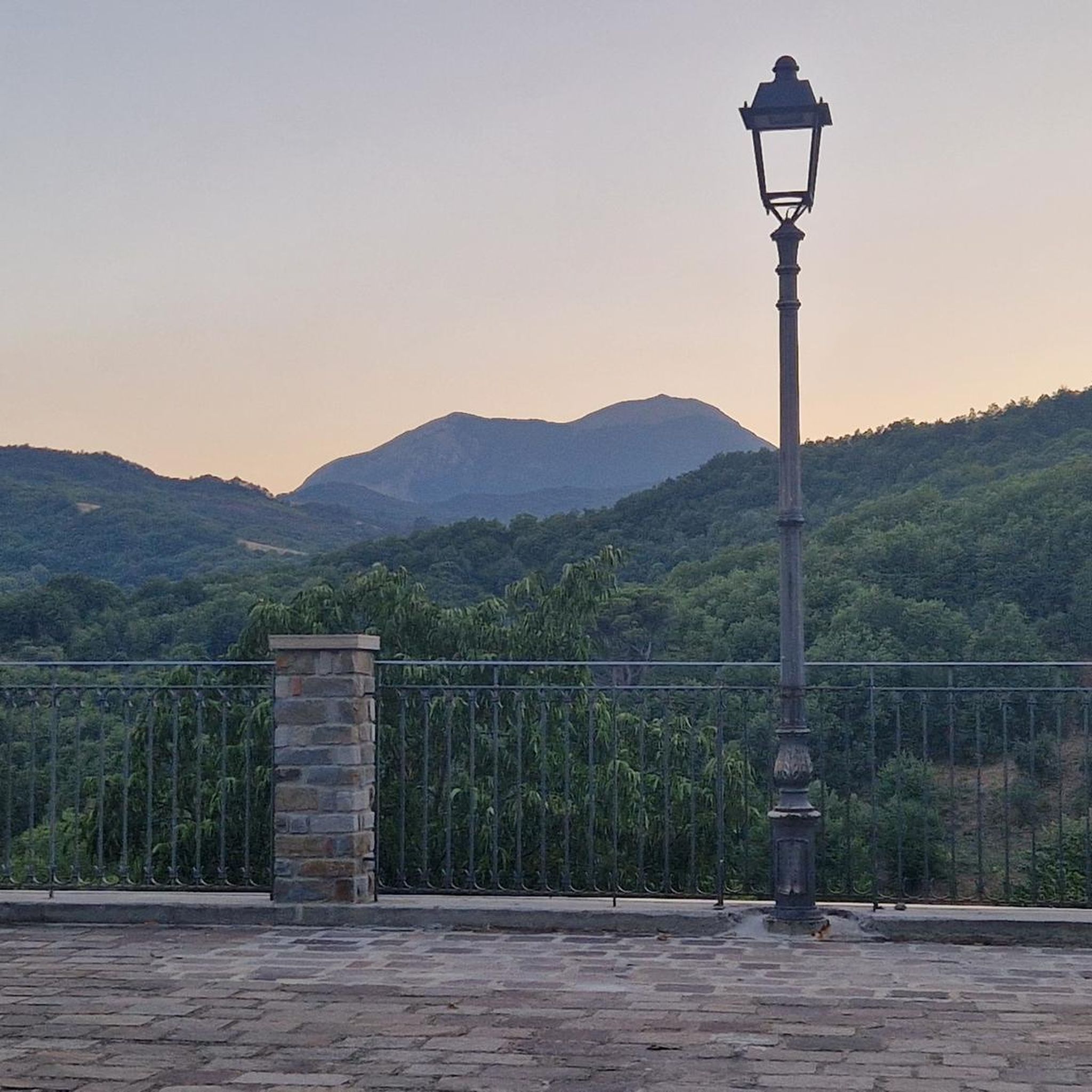
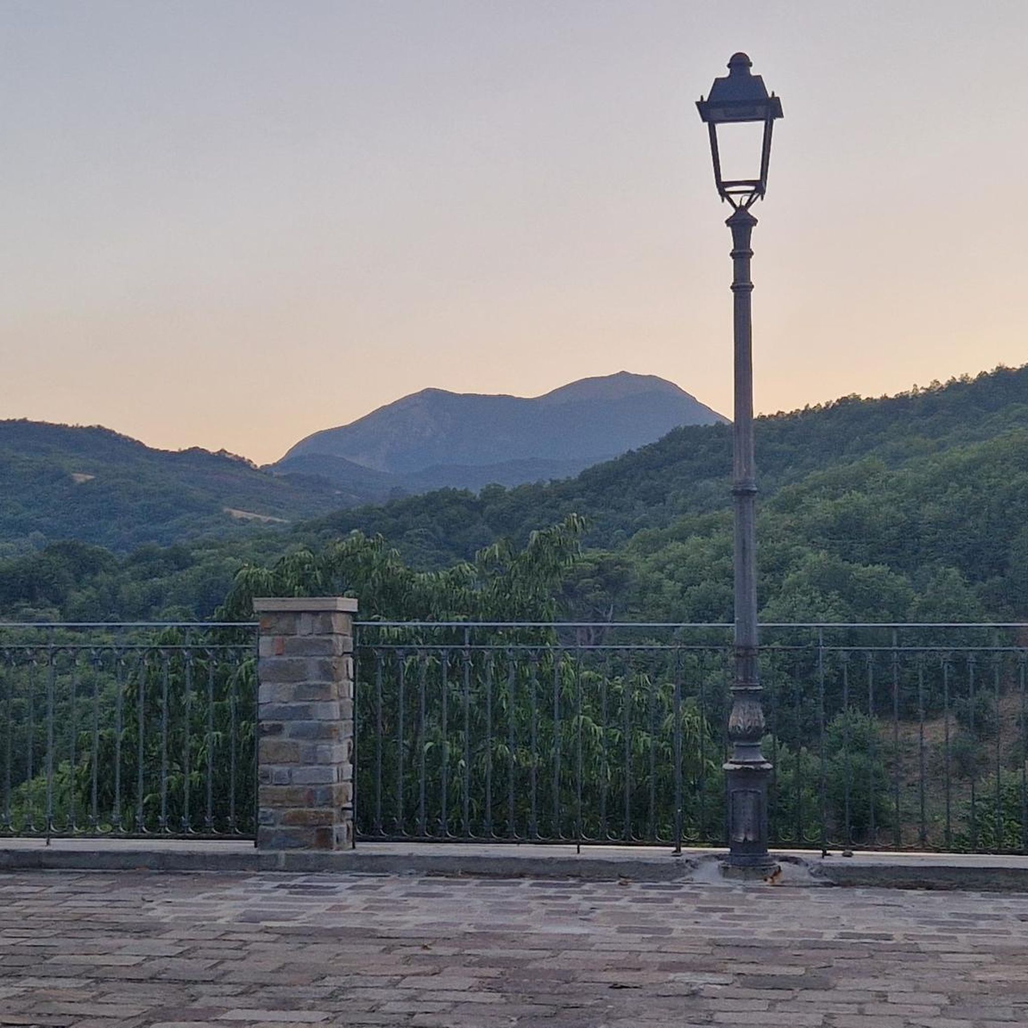
It looks like you're in Trentino, but it's actually Basilicata. The cycle path that passes a little above, on the route of the old railway, is beautiful.
0
0

The springs of Lake Sirino are an incredible oasis within the Lucanian Appennine Park, absolutely worth seeing!
0
0
Splendid place immersed in the Lucanian Appennine Park Val d'Agri Lagonegrese which offers many possibilities for refreshment and overnight stay in the surrounding facilities.
0
0

Small lake fed by the nearby Sirino springs. Great for a relaxing break.
0
0
In September 2023 it doesn't seem complete and it's not easy to always follow the trail, but still a nice valorization project.
0
0
Short but very beautiful and fresh path between the Sirino springs.
0
0
Frequently Asked Questions
What kind of terrain can I expect on road cycling routes around Carbone?
Road cycling routes around Carbone are characterized by significant elevation changes, winding roads, and sustained climbs and descents. The landscape features small towns, valleys, and natural features, providing a challenging experience for cyclists.
How many road cycling routes are available in the Carbone area?
There are over 20 road cycling routes available around Carbone on komoot, offering a variety of distances and difficulty levels for exploration.
Are there any easy road cycling routes for beginners around Carbone?
While many routes around Carbone are classified as difficult due to the hilly terrain, there is at least one easy route available. Additionally, there are 5 moderate routes that might be suitable for cyclists looking for a less strenuous ride than the most challenging options.
What are some of the longer road cycling routes in Carbone?
For those seeking longer rides, routes like the Pastorella Iron Bridge – Malboschetto Road loop from Latronico cover approximately 46.0 miles (74.0 km). Another substantial option is the Castronuovo di Sant'Andrea loop from San Chirico Raparo, which is about 46.1 miles (74.1 km) long.
Are there any circular road cycling routes around Carbone?
Yes, many of the road cycling routes around Carbone are designed as loops. For example, the popular Castronuovo di Sant'Andrea from Carbone – ring tour is a circular route, as is the Illuminated Tunnel – Lake Sirino loop from Latronico.
What kind of scenic viewpoints can I find along the road cycling routes?
The routes often offer scenic views of valleys and natural features. You can find specific viewpoints such as View to Monte Alpi (1900 m), which provides expansive vistas of the surrounding landscape.
Are there any natural attractions or landmarks to see while cycling around Carbone?
Yes, the area features several natural attractions. You might encounter the Peschiera River Waterfall, or pass by various summits like Monte Santa Croce Summit and Monte Raparo Summit.
What do other road cyclists think about the routes in Carbone?
The road cycling routes in Carbone are highly rated by the komoot community, with an average score of 4.0 stars from over 3 reviews. Cyclists often appreciate the challenging climbs and scenic views of the regional landscape.
What is the typical duration for a road cycling tour in Carbone?
The duration varies depending on the route's length and difficulty. For instance, the Castronuovo di Sant'Andrea from Carbone – ring tour typically takes around 3 hours and 29 minutes, while longer routes can take up to 4 hours or more.
Is 'Carbone' a well-known cycling destination?
While komoot features a collection of road cycling routes around 'Carbone', it's important to note that 'Carbone' is not widely recognized as a geographical location or a major outdoor activity destination in general web searches. The routes listed here are specific to this local designation.
Are there any routes that offer views of lakes?
Yes, the Illuminated Tunnel – Lake Sirino loop from Latronico offers views of Lake Sirino, combining challenging climbs with picturesque water scenery.
Most popular attractions around Carbone

Get inspired with the komoot mobile app


Explore more
Browse the best Road cycling routes in other regions.
