The best road cycling routes around Fardella
3.8
(8)
327
riders
36
rides
Road cycling routes around Fardella traverse a landscape characterized by significant elevation changes, winding through mountainous terrain and past traditional villages. The region features challenging climbs and descents, with routes often leading through forested areas and offering views of the surrounding peaks. Road cyclists can expect varied surfaces and a focus on endurance-based riding.
Best road cycling routes around Fardella
- The most popular road cycling route is Colle dell'Impiso Loop from San Severino Lucano, a 41.8 miles (67.3 km)…
Last updated: August 18, 2026
3.0
(2)
23
riders
67.3km
04:12
1,740m
1,740m
Hard road ride. Very good fitness required. Mostly well-paved surfaces and easy to ride.
12
riders
89.5km
04:19
1,250m
1,250m
Hard road ride. Very good fitness required. Mostly well-paved surfaces and easy to ride.

Sign up for free
3.0
(2)
21
riders
108km
06:48
2,720m
2,720m
Hard road ride. Very good fitness required. Some segments of this route may be unpaved and difficult to ride.
10
riders
60.5km
02:56
910m
910m
Hard road ride. Very good fitness required. Mostly well-paved surfaces and easy to ride.
7
riders
83.2km
05:00
2,110m
2,110m
Hard road ride. Very good fitness required. Some segments of this route may be unpaved and difficult to ride.
Get access to more routes and recommendations from other explorers.
Sign up for free
Already have an account?
Our route recommendations are based on thousands of hikes, rides, and runs completed by other people on komoot.
Start today with a free account
Your next adventure awaits.
Login or Signup

Tips from the Community

Right along the car road , easy to reach for any leve of fitness and enjoy a peaceful place
0
0

The name could derive from codda impisa, or steep, steep pass. Source: Davide of InfoPollino
1
0

Free refill, pump and tools for repairing faults. Free charging and self-repair station for bicycles and e-bikes.
0
0

The Monte Cotugno dam was built between 1970 and 1982, is located in the territory of the municipality of Senise and is the largest clay dam in Europe.
0
0
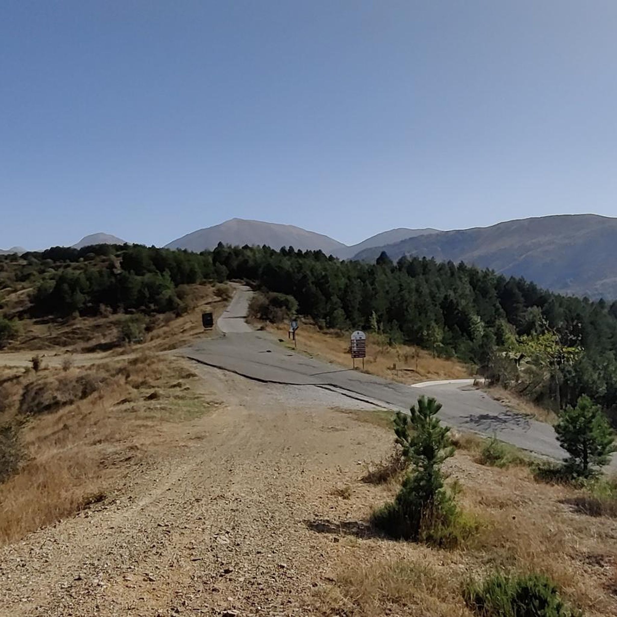
Colle dell'Impiso is the starting point of numerous paths, mostly traveled by hikers on foot but which can also be followed by mountain bike lovers. A ride in the Pollino Park is an unforgettable experience.
1
0
This small waterfall is created by a leap from the Peschiera river. Here people gather to refresh themselves and spend some time immersed in nature.
0
0
The Impiso hill is a starting point for many itineraries in the Pollino National Park. A fabulous place immersed in the greenery of this beautiful land.
0
0

It is the largest national park in Italy and is located between Calabria and Basilicata. The headquarters of the park is located in the municipality of Rotonda (PZ)
2
0
Frequently Asked Questions
What kind of road cycling routes can I expect around Fardella?
Road cycling routes around Fardella are characterized by significant elevation changes, winding through mountainous terrain and past traditional villages. You'll find challenging climbs and descents, often leading through forested areas and offering views of the surrounding peaks. The region primarily caters to experienced road cyclists seeking demanding rides, with 17 out of 18 routes rated as difficult.
Are there any easy or beginner-friendly road cycling routes in Fardella?
The road cycling network around Fardella is predominantly challenging, with no routes specifically rated as easy. There is one moderate route available, but the majority (17 out of 18) are classified as difficult, featuring substantial climbs and descents. Beginners might find these routes very demanding.
What are some scenic viewpoints or landmarks I can see while road cycling in Fardella?
The routes often provide views of the surrounding peaks and forested areas. Notable viewpoints and landmarks in the broader region include Piano di Jannace and the Malvento Viewpoint. You might also encounter the Statue of the Madonna del Pollino or pass through the Grande Porta del Pollino from Piani del Pollino.
Are there any circular road cycling routes around Fardella?
Yes, Fardella offers several circular road cycling routes. For instance, the Colle dell'Impiso Loop from San Severino Lucano is a popular 67.3 km difficult route. Another option is the Castronuovo di Sant'Andrea from Carbone – ring tour, which is a challenging 64.7 km path exploring the area around Castronuovo di Sant'Andrea.
What is the best time of year for road cycling in Fardella?
Given the mountainous terrain and significant elevation changes, spring and autumn generally offer the most pleasant conditions for road cycling in Fardella, with milder temperatures. Summer can be quite warm, especially on climbs, while winter may bring colder temperatures and potential snow at higher elevations, making some routes less accessible.
How many road cycling routes are available in the Fardella region?
There are 18 road cycling routes available around Fardella on komoot. The vast majority of these, 17 routes, are rated as difficult, catering to experienced cyclists looking for a challenge.
What do other road cyclists enjoy most about road cycling in Fardella?
The area is highly rated by the komoot community, with an average score of 4.3 stars from several reviews. Road cyclists often praise the challenging nature of the routes, the stunning mountain scenery, and the opportunity to explore traditional villages. Over 180 road cyclists have used komoot to explore Fardella's varied terrain.
Are there any routes that pass by lakes or unique natural features?
Yes, the Illuminated Tunnel – Lake Sirino loop from Latronico is a 59.9 km difficult trail that leads through varied terrain, including a lake area, offering a unique cycling experience.
What kind of gear should I consider for road cycling in Fardella?
Due to the significant elevation changes and challenging nature of the routes, it's advisable to bring a road bike with appropriate gearing for climbing. Essential gear includes a helmet, sufficient water, nutrition, and layers of clothing to adapt to changing temperatures, especially when ascending or descending mountain passes.
Are there any particularly long or challenging road cycling routes for experienced riders?
For experienced riders seeking a significant challenge, the Castelsaraceno village – Castronuovo di Sant'Andrea loop from Chiaromonte is a demanding option. This difficult route spans 86.6 km and features an impressive 1886 meters of elevation gain, making it one of the longest and most strenuous in the area.
Can I find routes that explore multiple villages or towns?
Many routes in Fardella traverse traditional villages. For example, the Pastorella Iron Bridge – Malboschetto Road loop from Latronico, a difficult 73.9 km route, will take you through diverse landscapes and likely past several local settlements, offering a glimpse into the regional culture.
Most popular attractions around Fardella

Get inspired with the komoot mobile app


Explore more
Browse the best Road cycling routes in other regions.
