The best road cycling routes around Preitenegg
4.6
(15)
405
riders
27
rides
Road cycling around Preitenegg, situated in Austria's Lavanttal region, offers diverse terrain for cyclists. The area is characterized by rolling hills, dense forests, and alpine meadows, providing a varied landscape for rides. Located at over 1,000 meters above sea level, Preitenegg features significant elevation changes and quiet roads with low traffic volume. This environment supports a range of road cycling experiences, from moderate climbs to challenging ascents through scenic valleys.
Best road cycling routes around Preitenegg
- The most popular road…
Last updated: June 26, 2026
4.0
(1)
42
riders
75.9km
03:36
720m
720m
Moderate road ride. Good fitness required. Mostly well-paved surfaces and easy to ride.
3.0
(1)
47
riders
Moderate road ride. Good fitness required. Mostly well-paved surfaces and easy to ride.

Sign up for free
4.0
(1)
28
riders
45.1km
02:37
920m
920m
Hard road ride. Very good fitness required. Mostly well-paved surfaces and easy to ride.
15
riders
42.8km
02:29
700m
700m
Moderate road ride. Good fitness required. Mostly well-paved surfaces and easy to ride.
14
riders
Moderate road ride. Good fitness required. Some segments of this route may be unpaved and difficult to ride.
Get access to more routes and recommendations from other explorers.
Sign up for free
Already have an account?
Our route recommendations are based on thousands of hikes, rides, and runs completed by other people on komoot.
Start today with a free account
Your next adventure awaits.
Login or Signup
Other adventures around Preitenegg

Tips from the Community


Schloss Bayerhofen was first mentioned in a document in 1239, but it may have originated as early as the 9th century. The original purpose of the castle was to secure the bridge over the Lavant. It received its current appearance in 1566 under Mathias Freydl. During the Counter-Reformation, it was a stronghold of the Lutherans. In 1777 it partially burned down, and in 1803 it was in a "neglected state", as the chronicles say. The castle is a large, irregular 2-3 story complex from the 2nd half of the 16th century, surrounding an inner courtyard. The three-story west wing is originally Gothic, with three gables on the facade and three parallel hipped roofs. The courtyard facade consists of three-sided, two-story arcades from 1560/1565. The ground floor features massive columns, while the upper floor has delicate columns, twice as many in number. A street-facing wall connects the castle to a 16th-century outbuilding to the north. The castle was restored in 1996/97 in the color scheme of its construction period. Currently, Schloss Bayerhofen is considered a sensitive area, as it is located in the middle of Wolfsberg and is the oldest building in the city. A hotel and a gastronomy business are planned to be housed in the castle, which is partially a listed building.
0
0

During the Christmas season, the city is beautifully decorated, and there's a small Christmas market on the Lavant River. There are also several smaller markets in the surrounding villages.
1
0

Always beautiful, there is something special in every season. A walk along the Lavant is highly recommended.
1
0

Beautiful church that is centrally located, worth a stop for a few photos.
0
0

Particularly worth seeing with the beautiful lighting in the evening
1
0

From Edelschrott you have a great view of the Alps and cities.
0
0
Frequently Asked Questions
How many road cycling routes are available around Preitenegg?
There are nearly 30 road cycling routes around Preitenegg, offering a variety of experiences for different skill levels. The komoot community has explored these routes over 300 times, with an average rating of 4.7 stars.
What kind of terrain can I expect when road cycling in Preitenegg?
Preitenegg, situated at over 1,000 meters above sea level, offers diverse terrain characterized by rolling hills, dense forests, and alpine meadows. You can expect significant elevation changes, with routes featuring both challenging ascents and rewarding descents through scenic valleys and past idyllic villages. The region's location on the slopes of the Packalpe and Koralpe mountains ensures varied topography.
Are there road cycling routes suitable for beginners or families in Preitenegg?
While Preitenegg offers many routes with significant elevation, there are options suitable for those seeking a less strenuous ride. The region's generally low traffic volume makes for a more relaxed experience. For a moderate option, consider the Gomarn Castle Ruins – Along the Auerlingbach loop from Preitenegg, which covers 42.8 km with moderate climbs.
What are some challenging road cycling routes in the Preitenegg area?
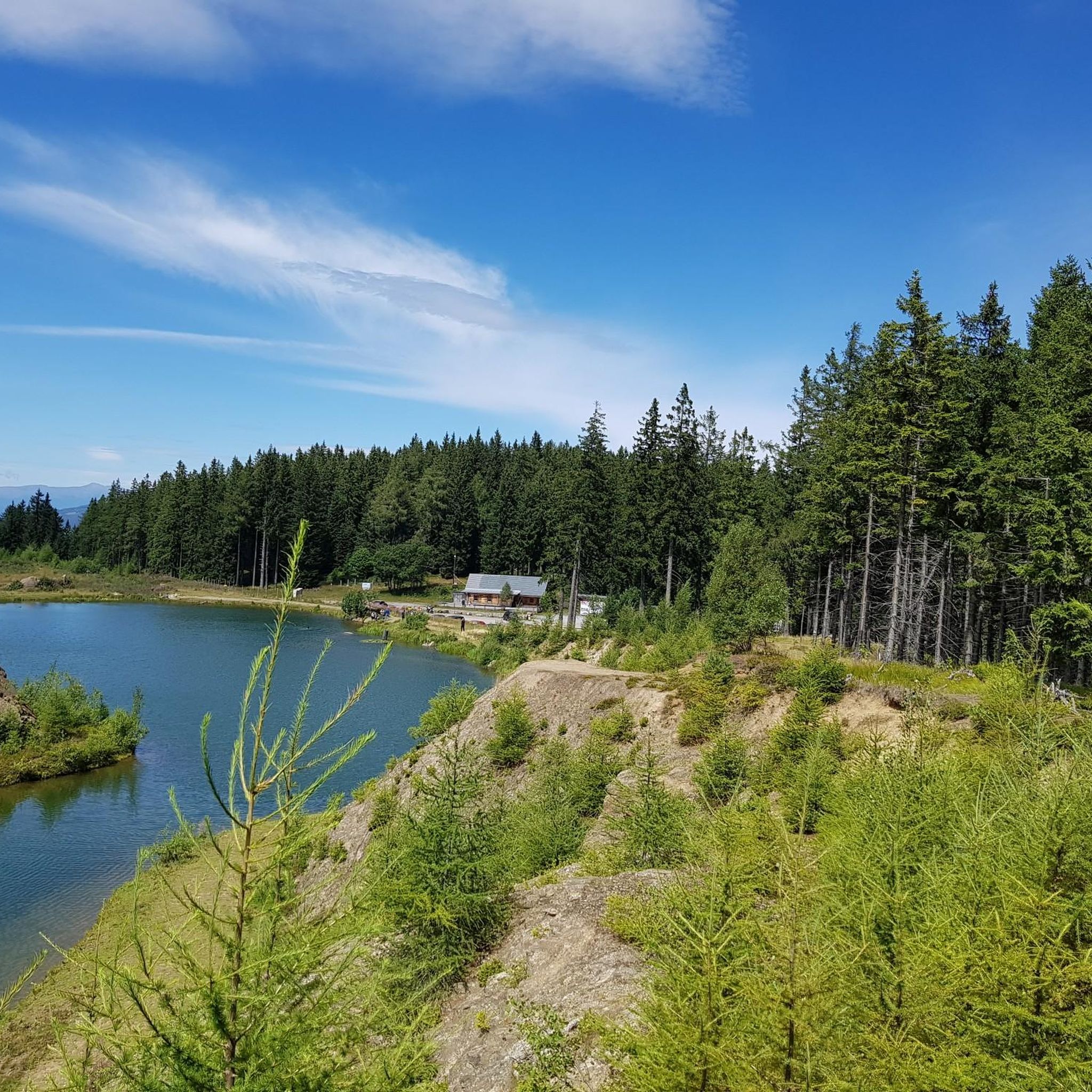
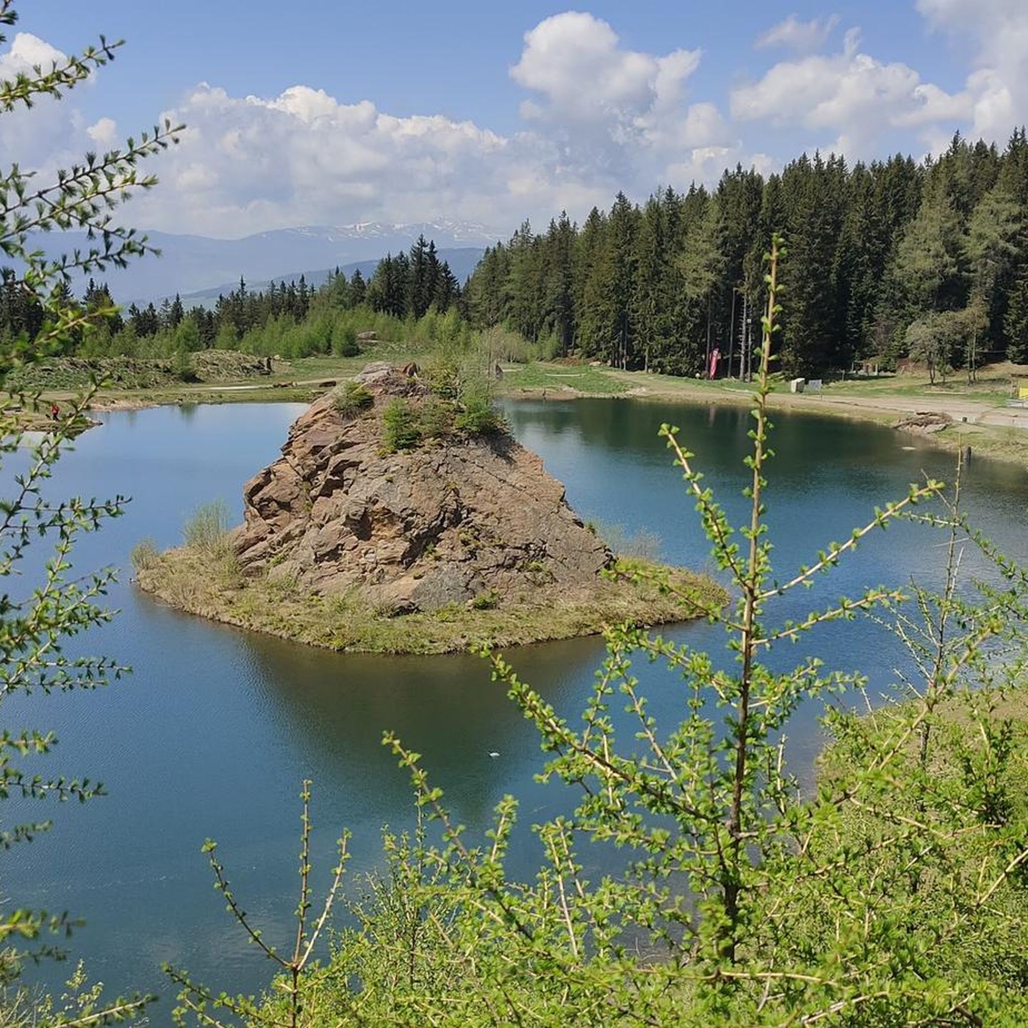
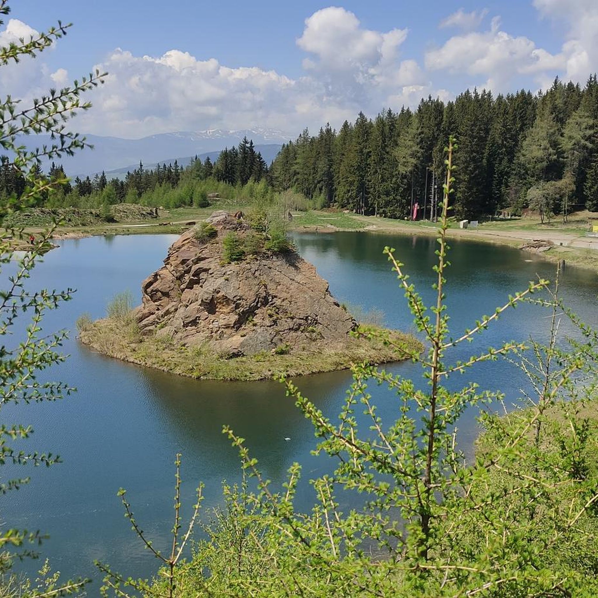
For experienced cyclists seeking a challenge, Preitenegg offers routes with substantial elevation gain. The Packer Reservoir – View of Packerstausee loop from Pack is a difficult 45.1 km trail with over 900 meters of elevation gain, leading through mountainous terrain. The nearby Klippitzthörl Pass is also known for its steep climbs and descents, providing a test for endurance.
Are there scenic viewpoints or natural attractions along the road cycling routes?
Yes, the region around Preitenegg is rich in natural beauty. Many routes offer spectacular mountain views and pass through lush forests and pastures. You might encounter attractions like the waterfalls of Preitenegg or the idyllic Lake Hebalmsee. For specific viewpoints, consider routes that pass near highlights such as Weinebene or offer views of the Packer Reservoir.
Are there circular road cycling routes starting from Preitenegg?
Yes, many of the road cycling routes around Preitenegg are designed as loops, allowing you to start and end in the same location. An example is the Gomarn Castle Ruins – Along the Auerlingbach loop from Preitenegg, which is a 42.8 km circular route.
What is the best time of year for road biking in Preitenegg?
The Carinthia region, including Preitenegg, is generally best for road cycling from spring through autumn. During these seasons, the weather is typically mild, and the landscapes are vibrant. Given Preitenegg's elevation, late spring to early autumn usually offers the most pleasant conditions, avoiding winter snow and ice.
Are there places to stop for refreshments or rest along the routes?
Yes, the region has several huts and inns where cyclists can stop for refreshments. Highlights like the Grünanger Hut (1560 m), Knödel Hut, and the Alpine inn "Old Alm House" are popular spots that can be incorporated into longer rides for a break.
How long do road cycling routes around Preitenegg typically take to complete?
The duration of routes varies significantly based on distance, elevation, and your cycling pace. For example, a moderate route like the Obdach Clock Tower – Eppenstein Castle Ruins loop from Burgruine Twimberg, which is 75.9 km, typically takes around 3 hours and 35 minutes. Shorter routes can be completed in under 2 hours, while more challenging ones may take 4 hours or more.
Is public transport available to access road cycling routes in Preitenegg?
While specific public transport connections directly to all trailheads might be limited in this alpine region, the broader Carinthia area has public transport options. For detailed information on bus or train services that might connect to Preitenegg or nearby towns, it's advisable to check local transport schedules or resources like Visit Carinthia for regional travel advice.
What makes road cycling in Preitenegg unique compared to other regions?
Preitenegg stands out due to its combination of stunning alpine and pastoral landscapes, diverse terrain, and a tranquil environment with generally low traffic volume. The region offers a unique blend of challenging climbs through the Packalpe and Koralpe mountains and serene rides through the Lavanttal, providing both physical challenge and visual reward on quiet roads.
Most popular attractions around Preitenegg

Get inspired with the komoot mobile app


Explore more
Browse the best Road cycling routes in other regions.
