The best MTB trails around Roggiano Gravina
5.0
(3)
44
riders
18
rides
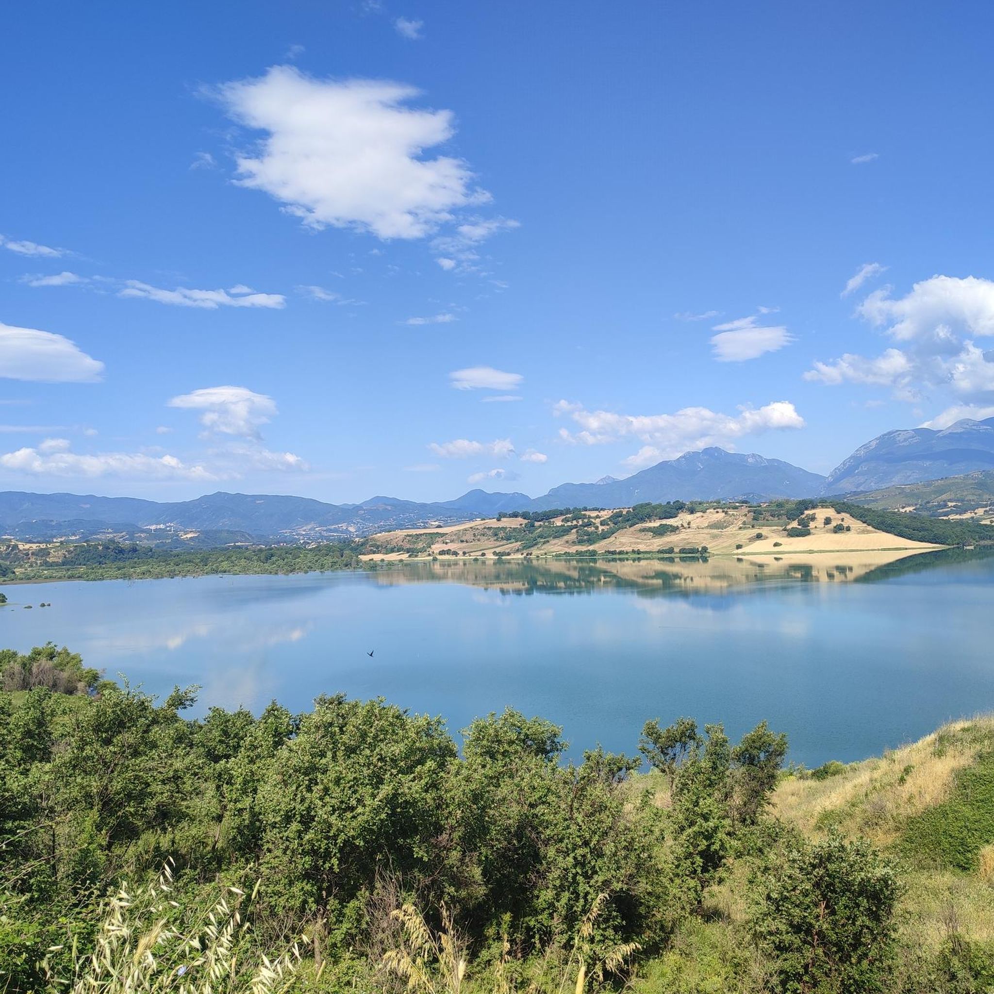
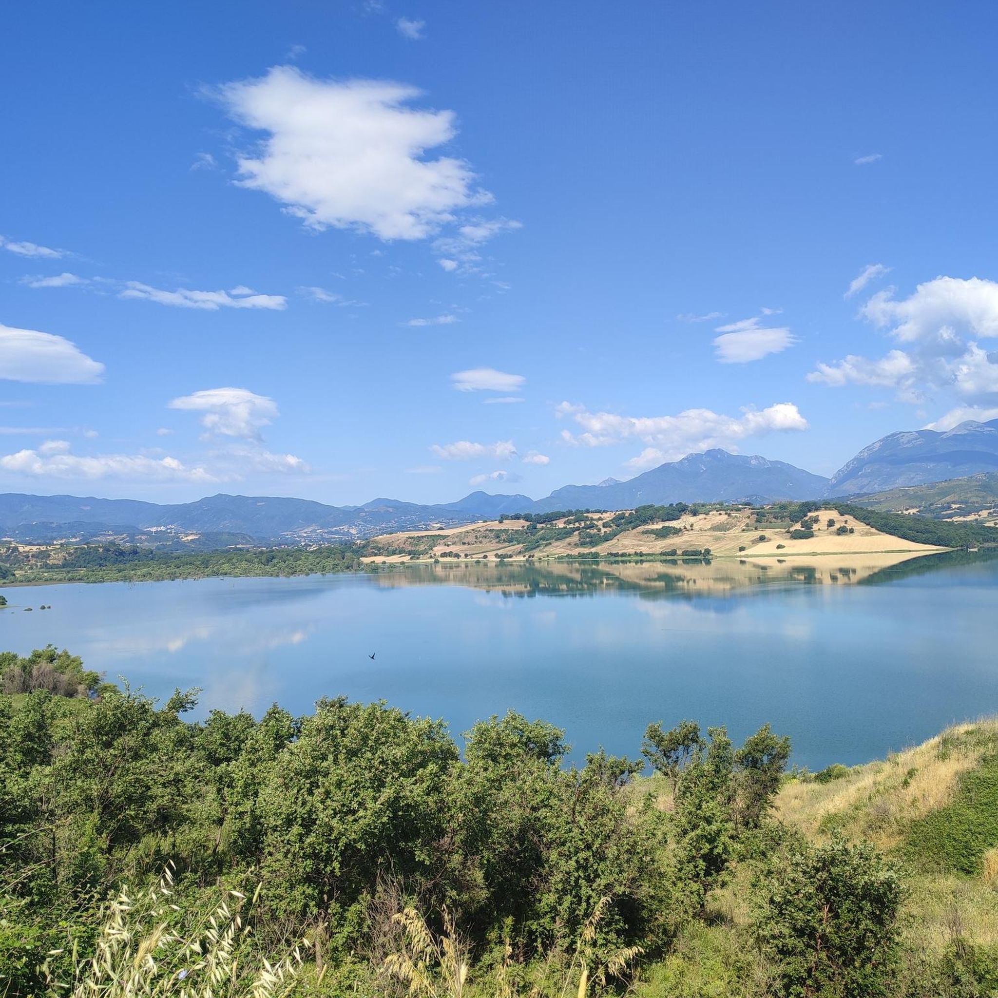
Mountain biking around Roggiano Gravina offers diverse landscapes situated between the Sila and Pollino hills. The region features predominantly hilly and mountainous terrain, providing challenging climbs and descents. Riders can expect to traverse through extensive networks of trails, including natural dirt tracks and less-frequented provincial roads. This area is characterized by lush forests, pine woods, and varied landscapes, acting as a gateway to both Sila National Park and Pollino National Park.
Best mountain bike trails around Roggiano Gravina
- The most…
Last updated: July 8, 2026
12
riders
54.8km
05:05
1,620m
1,620m
Hard mountain bike ride. Very good fitness required. Suitable for all skill levels.
5.0
(2)
7
riders
31.2km
03:20
1,040m
1,040m
Hard mountain bike ride. Very good fitness required. Suitable for all skill levels.

Sign up for free
7
riders
80.3km
08:27
2,690m
2,690m
Hard mountain bike ride. Very good fitness required. Suitable for all skill levels.
6
riders
49.5km
05:25
1,580m
1,580m
Hard mountain bike ride. Very good fitness required. Suitable for all skill levels.
3
riders
Hard mountain bike ride. Very good fitness required. Suitable for all skill levels.
Get access to more routes and recommendations from other explorers.
Sign up for free
Already have an account?
Our route recommendations are based on thousands of hikes, rides, and runs completed by other people on komoot.
Start today with a free account
Your next adventure awaits.
Login or Signup
Popular around Roggiano Gravina

Tips from the Community

Beautiful naturalistic place in a beautiful forest
0
0
Murals in front of the Cerzeto town hall
0
0
Picnic area with a characteristic fountain
0
0

Lungro is the seat of the EPARCHY of the Italian Albanians of Continental Italy; in the cathedral a beautiful example of an Orthodox iconostasis. it.wikipedia.org/wiki/Cattedrale_di_Lungro
0
0
Panoramic place, where you can observe the Tyrrhenian Sea, the Sila, and the Ionian Sea at the same time.
0
0
Characteristic natural landscape around this pond
1
0

Small Arbreshe centre, few services especially in the low season but worth a stop.
0
0
Frequently Asked Questions
How many mountain bike trails are there around Roggiano Gravina?
There are 13 mountain bike trails around Roggiano Gravina. These routes offer a diverse range of experiences, from moderate to difficult, exploring the varied landscapes between the Sila and Pollino hills.
What kind of terrain can I expect on mountain bike trails near Roggiano Gravina?
You can expect predominantly hilly and mountainous terrain, featuring challenging climbs and descents. The trails often traverse through lush forests, pine woods, and natural dirt tracks, as well as less-frequented provincial roads. The region's proximity to Sila and Pollino National Parks ensures a rugged and engaging experience.
Are there mountain bike trails suitable for beginners or families in the area?
While the area is known for its challenging terrain, with 7 moderate and 6 difficult routes, there are no specifically easy mountain bike trails listed directly around Roggiano Gravina. However, the broader Calabria region offers routes with varying degrees of difficulty, so exploring options further afield might yield more family-friendly paths.
Are there any circular mountain bike routes around Roggiano Gravina?
Yes, many of the mountain bike routes in the area are loops. For example, you can explore the Laghicello – Laghicello Woods and Pond loop from San Marco Argentano, which is a difficult 34.0-mile (54.7 km) trail, or the Rifugio Passo la Guardia – Acqua del Cinghiale Fountain loop from San Marco Argentano, a challenging 19.4-mile (31.2 km) path.
What are some notable natural features or landmarks I can see while mountain biking?
The region offers stunning natural beauty. You might encounter viewpoints like A breathtaking view, or natural monuments such as Pollino National Park. There are also lakes like Lake Tarsia and Lago della Paglia, and even the Fra' Giovanni Waterfall.
What is the best time of year for mountain biking in Roggiano Gravina?
The region's diverse landscapes, ranging from hills to national parks, suggest that spring and autumn would be ideal for mountain biking. These seasons typically offer milder temperatures and more stable weather conditions, making the challenging climbs and descents more enjoyable. Summer can be hot, while winter might bring colder temperatures to higher elevations.
Are there any mountain bike trails that offer views of Pollino National Park?
Yes, Roggiano Gravina is a gateway to Pollino National Park, and some routes offer direct access or views. The Pollino National Park – A breathtaking view loop from Fermata (ex) Ospedale is a moderate 33.0-mile (53.1 km) route that provides stunning vistas of the park.
What do other mountain bikers enjoy the most about mountain biking in Roggiano Gravina?
The komoot community highly rates the mountain biking experience in Roggiano Gravina, with an average score of 5.0 stars from 3 reviews. Riders often praise the varied terrain, the challenging nature of the routes, and the beautiful natural scenery, especially the dense forests and proximity to national parks.
How long do mountain bike trails typically take to complete in this area?
The duration of mountain bike trails varies significantly based on distance and difficulty. For instance, a difficult route like the Monumental Chestnut Tree – Rifugio Passo la Guardia loop from San Marco Argentano, covering 30.8 miles (49.5 km), typically takes around 5 hours 25 minutes. Shorter, moderate routes will naturally take less time.
Are there any mountain bike trails that pass by lakes or water bodies?
Yes, the region features several water bodies. While not directly on a featured route, nearby attractions include Lake Tarsia and Lago della Paglia, which are scenic spots that could be incorporated into longer rides or visited separately.
Is there parking available near the mountain bike trails?
While specific parking locations for each trail are not detailed, Roggiano Gravina and its surrounding towns, which serve as starting points for many routes, generally offer parking options. It's advisable to check local parking availability in towns like San Marco Argentano or near trailheads before your ride.
Can I find any challenging mountain bike routes for experienced riders?
Absolutely. Roggiano Gravina is well-suited for experienced mountain bikers, with 6 out of 13 routes classified as difficult. These trails feature significant elevation changes and rugged terrain. An example is the A breathtaking view – Rifugio Campolongo loop from Fermata (ex) Ospedale, a difficult 23.2-mile (37.2 km) route with substantial climbs.
Most popular attractions around Roggiano Gravina

Get inspired with the komoot mobile app


Explore more
Browse the best MTB trails in other regions.
